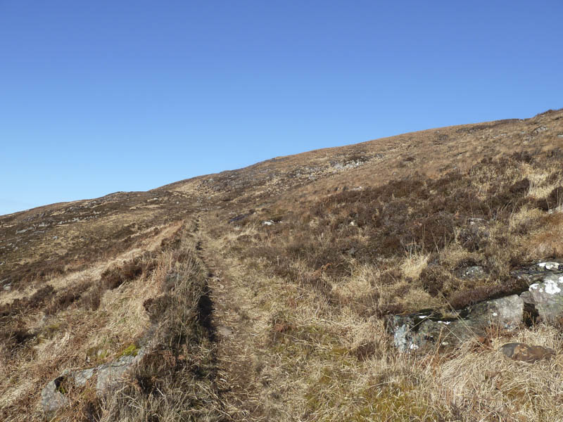
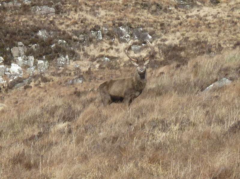
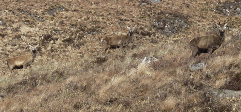
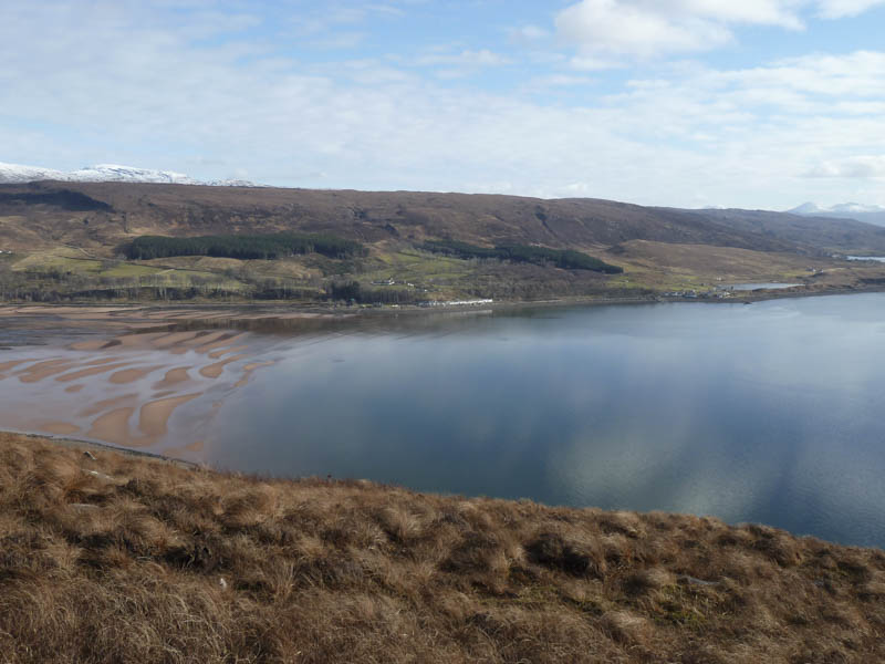
The Graham, Beinn a’ Chlachain, is located on the Applecross Peninsula in the North-West Highlands. I left my vehicle in the car park on the north side of Applecross Bay, west of Cruarg, then walked along the sign-posted path for Sand gaining some height and passing several stags.
![Path to Sand](https://scotlandhills.net/wp-content/uploads/2021/03/01-Path-to-Sand.jpg)
![Stag](https://scotlandhills.net/wp-content/uploads/2021/03/02-Stag.jpg)
![Stags](https://scotlandhills.net/wp-content/uploads/2021/03/03-Stags.jpg)
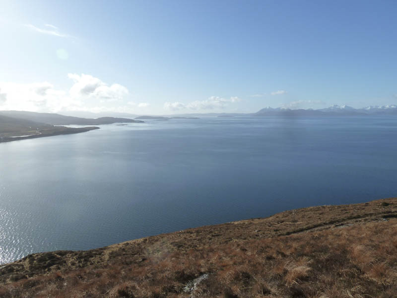
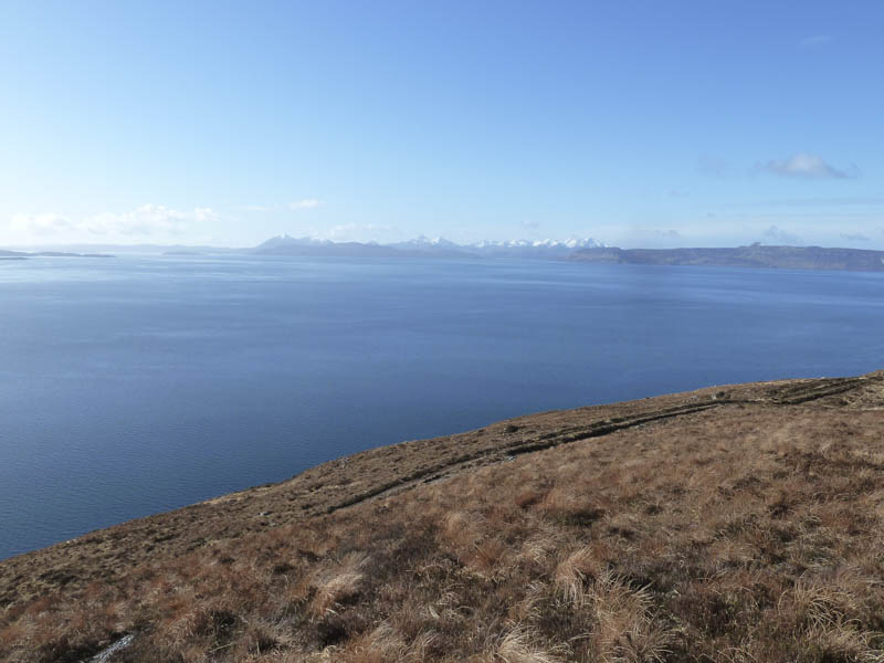
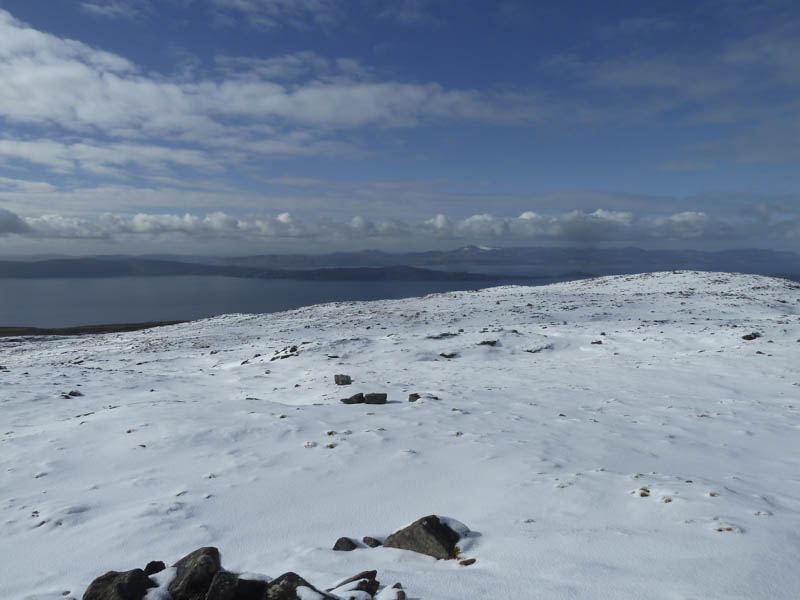
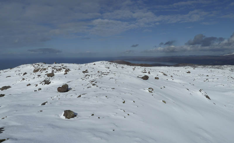
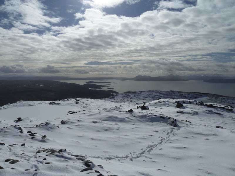
There were good views of the Inner Sound and across to the snow covered Skye Cuillin.
![Inner Sound looking south](https://scotlandhills.net/wp-content/uploads/2021/03/04-Inner-Sound-looking-south.jpg)
![Across the Inner Sound to the Skye Cuillin](https://scotlandhills.net/wp-content/uploads/2021/03/05-Across-the-Inner-Sound-to-the-Skye-Cuillin.jpg)
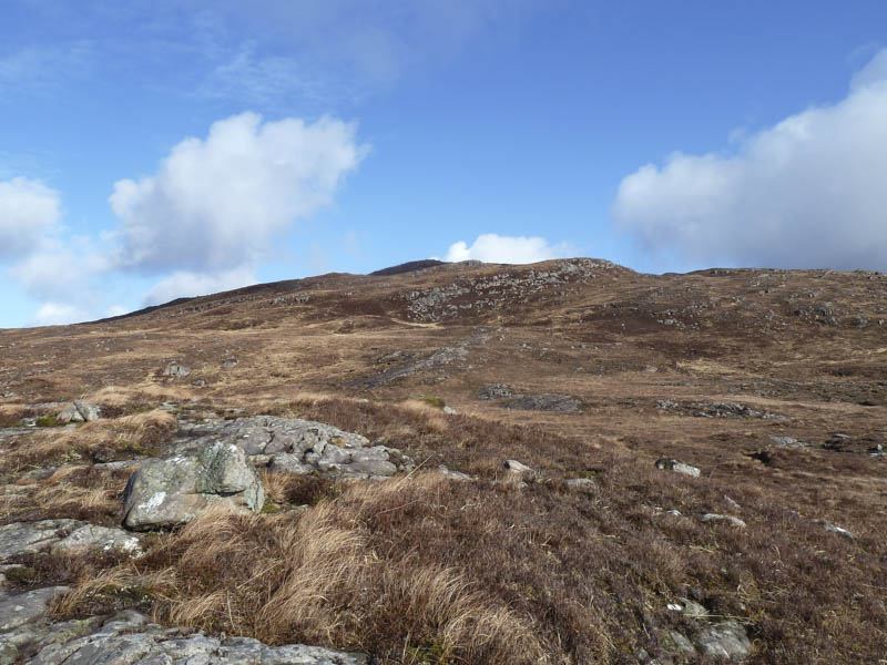
We later left this track, crossed some rough and wet ground and a stream, to reach Beinn a’ Chlachain’s wide south-west ridge.
![Ascent route Beinn a' Chlachain](https://scotlandhills.net/wp-content/uploads/2021/03/06-Ascent-route-Beinn-a-Chlachain.jpg)
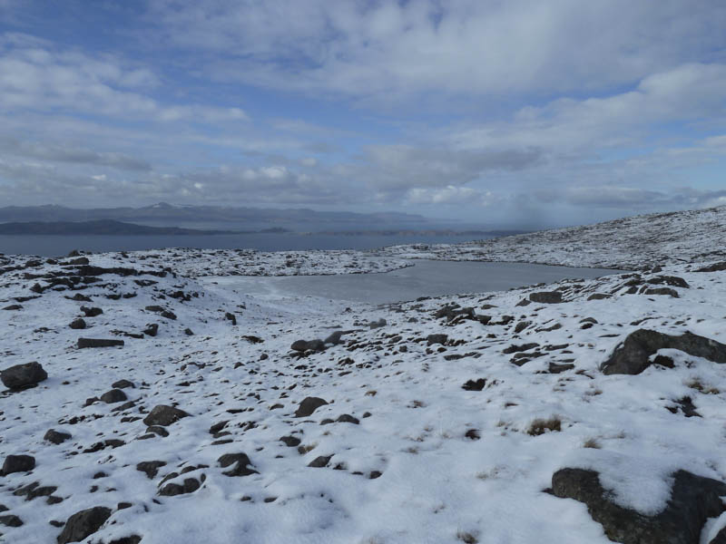
After a bit of meandering to avoid some of the dips in the ridge we were into wet snow although where possible we walked across the bare rock of which there was plenty. Higher up the snow was deeper and drier but there was no requirement for an ice axe or crampons. A couple of snow and ice covered lochans were passed.
![Frozen lochan. Isles of Raasay and Rona beyond](https://scotlandhills.net/wp-content/uploads/2021/03/07-Frozen-lochan.-Isles-of-Raasay-and-Rona-beyond.jpg)
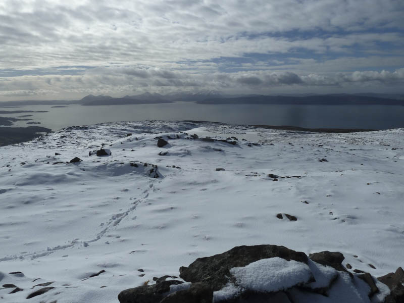
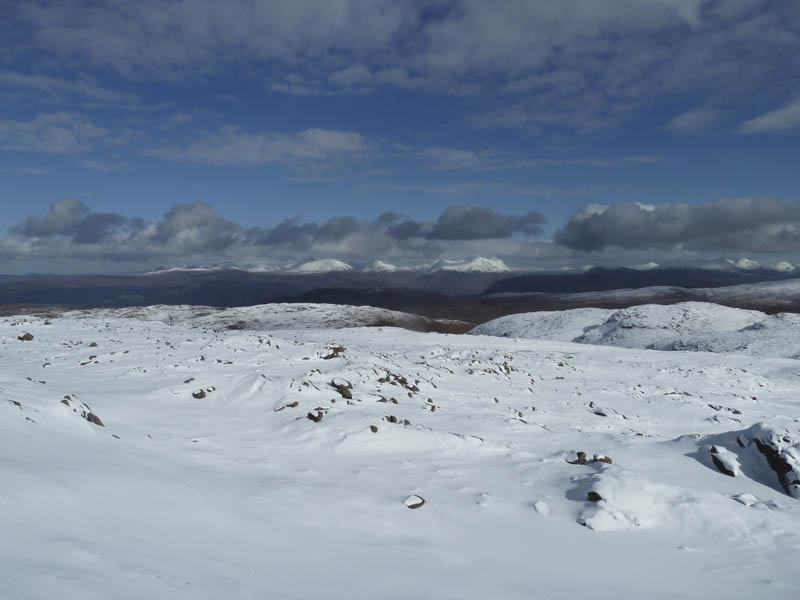
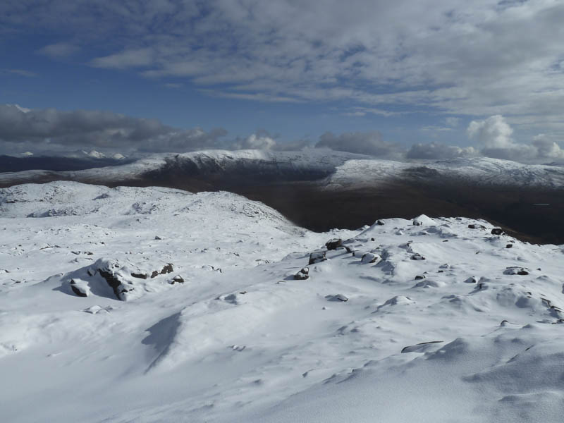
The summit trig point and shelter, which was filled with snow, was reached and here we stopped for a break with good views of the surrounding mountains and sea.
![Across the Inner Sound to Skye Cuillin](https://scotlandhills.net/wp-content/uploads/2021/03/08-Across-the-Inner-Sound-to-Skye-Cuillin.jpg)
![Across the Inner Sound to Isle of Raasay. Trotternish beyond](https://scotlandhills.net/wp-content/uploads/2021/03/09-Across-the-Inner-Sound-to-Isle-of-Raasay.-Trotternish-beyond.jpg)
![Lochs Torridon and Gairloch](https://scotlandhills.net/wp-content/uploads/2021/03/10-Lochs-Torridon-and-Gairloch.jpg)
![Torridon Mountains](https://scotlandhills.net/wp-content/uploads/2021/03/11-Torridon-Mountains.jpg)
![Beinn Bhan](https://scotlandhills.net/wp-content/uploads/2021/03/12-Beinn-Bhan.jpg)
![Inner Sound looking south](https://scotlandhills.net/wp-content/uploads/2021/03/13-Inner-Sound-looking-south.jpg)
A couple of runners arrived then headed off down the east side of the hill.
We returned by the ascent route.
![Applecross Bay on return](https://scotlandhills.net/wp-content/uploads/2021/03/14-Applecross-Bay-on-return.jpg)
- Time taken – 5.5 hours.
- Distance – 11.5 kilometres.
- Height climbed – 650 metres