The starting point for the two Beinn a’ Bheithir Munros was the car park in Gleann a’ Chaolais, just off the A828 immediately west of South Ballachulish. I set off up the glen following signs for the Munro, Sgorr Dhearg.
The waymarked route took me across a bridge over the Allt Gleann a’ Chaolais then immediately right.
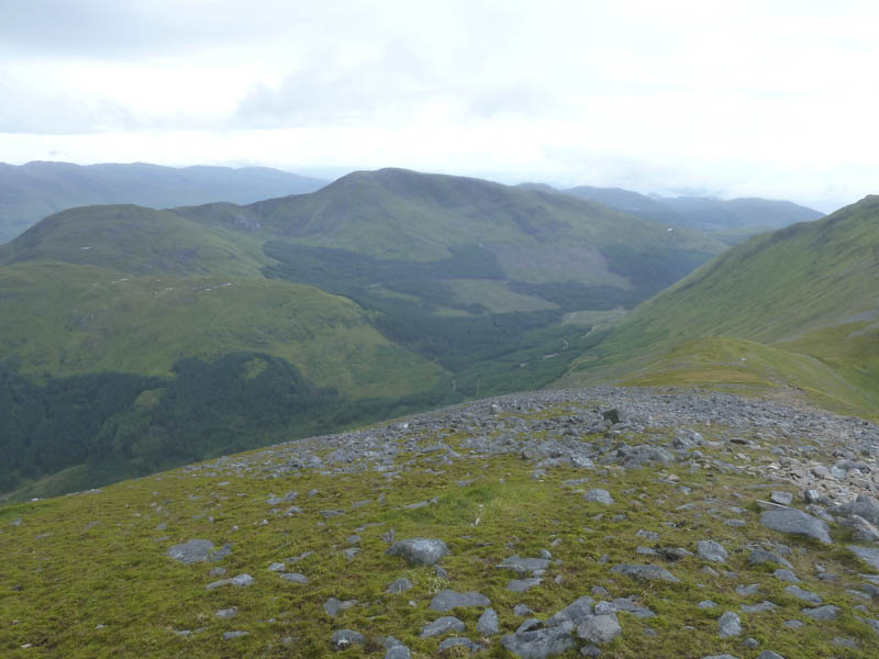
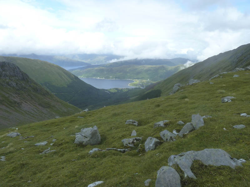
The path then climbed through the forest, crossing a couple of vehicle tracks, before steepening. After nearly an hour I reached a gate in a stock fence and shortly after that emerged from the trees into the wind and rain.
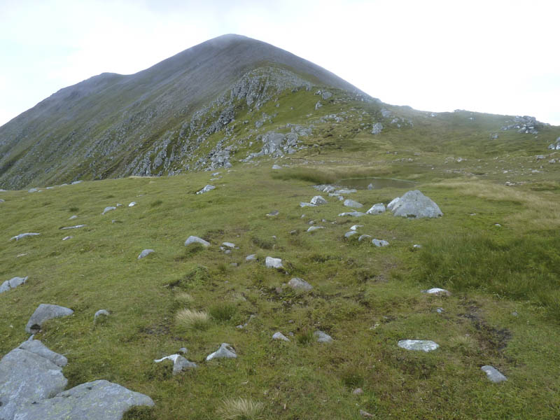
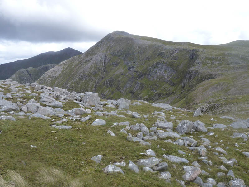
A wet and boggy path continued into the corrie with old fence posts marking the route then the gradient increased again before reaching the bealach between Sgorr Dhearg and Sgorr Dhonuill. Here the wind was stronger, gusty and had to work at staying upright. I met a couple of chaps who had come over Sgorr Dhonuill and decided due to the wind to head down into the glen.
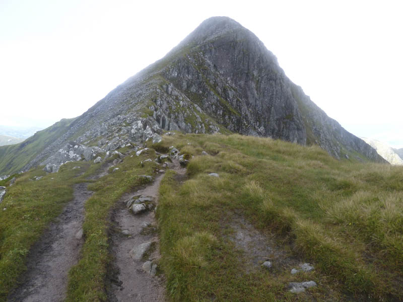
I climbed Sgorr Dhearg keeping below the ridge line although on a few occasions was brought to a standstill by gusts of wind. The cairn and broken trig point were reached by keeping low before quickly backing off and returning to the bealach.
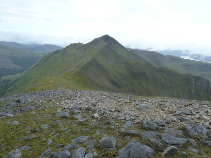
A slightly sheltered hollow was found for a bite to eat. A couple who had come over Sgorr Dhearg from Ballachulish passed me having decided to head down into the glen rather than continue to Sgorr Dhonuill. I was planning to do likewise as there was an exposed section on Sgorr Dhonuill but while sheltering there the wind gusts appeared to be less frequent. I changed my mind and decided to head up Sgorr Dhonuill to see what the conditions were like higher up. In fact the climb wasn’t a problem neither was the exposed section although still windy but minus the gusts.
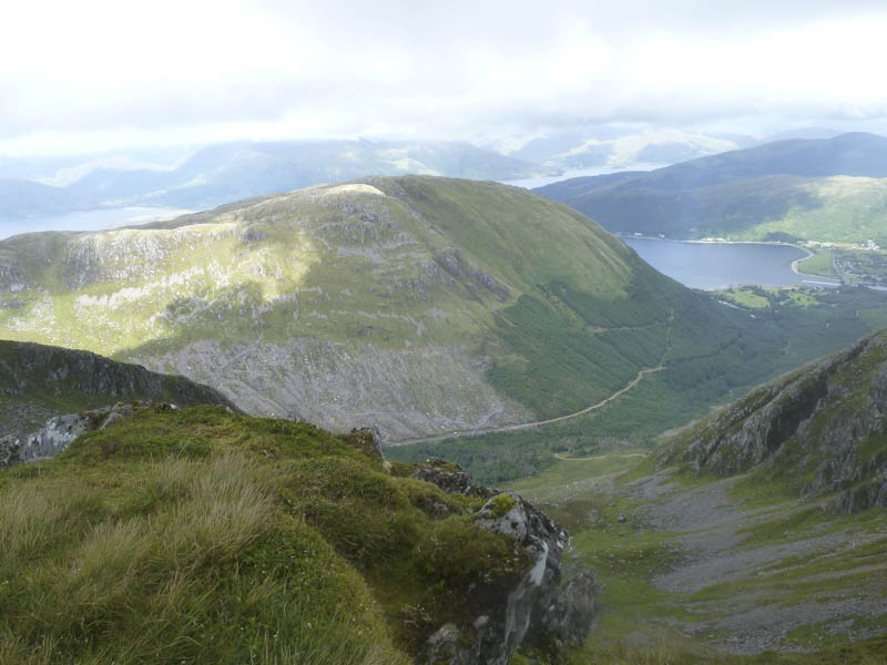
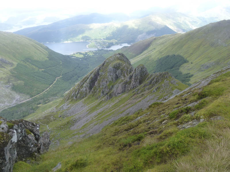
On reaching Sgorr Dhonuill’s summit cairn I descended west initially across some boulders then over undulating and rocky terrain to gain the Corbett Top, Sgorr Dhonuill West Top.
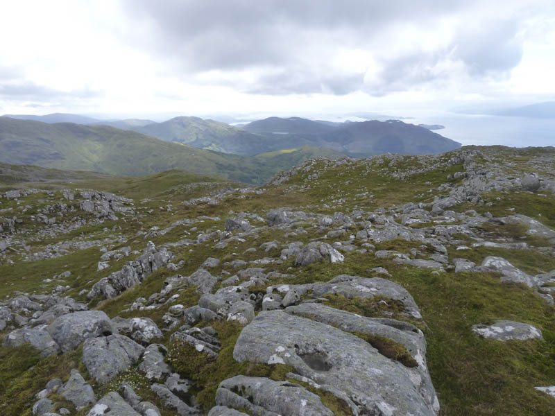
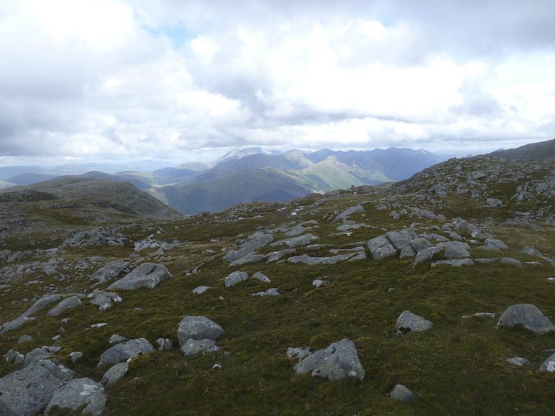
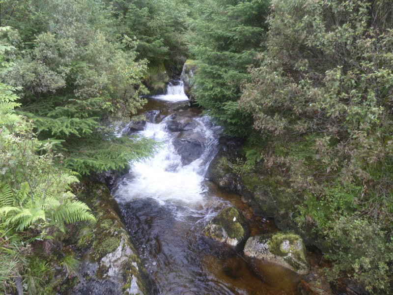
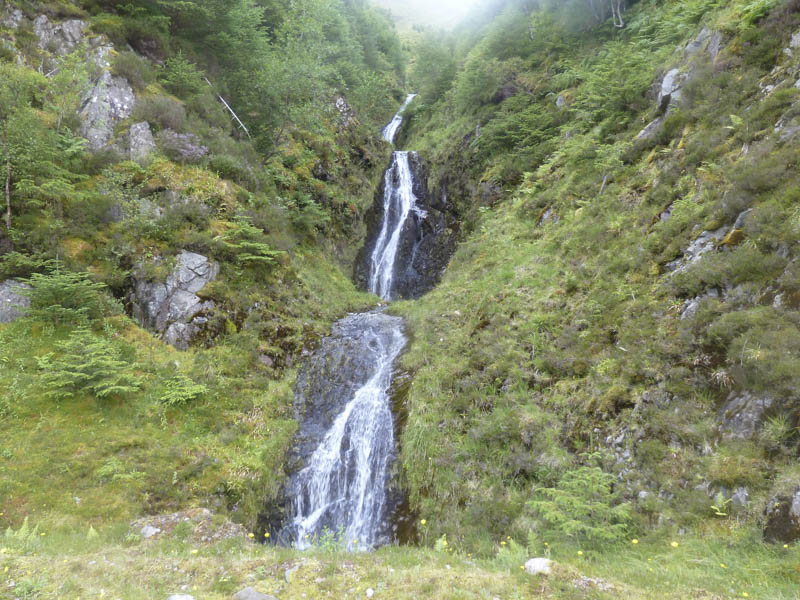
I then headed over to the Graham Top, Sgorr Dhonuill Far West Top. From there I walked to the top of a mainly grassy gully and descended to the forest. A stream was then followed through the trees, a bit awkward in a couple of locations, to reach the path from Coire Dearg, the waymarked route to Sgorr Dhonuill.
This path then vehicle tracks were followed back to the car park.
- Time taken – 7.25 hours.
- Distance – 13 kilometres.
- Height climbed – 1335 metres.