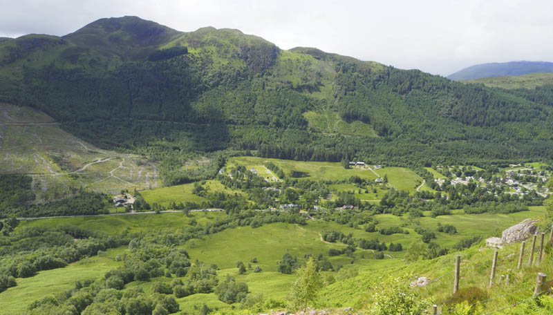
Meall Bhanbhaidh – Staying at a cottage just off the B8004 at Banavie and directly below Meall Bhanbhaidh meant the start for the ascent of this Hump was only a few metres south of the access road to our accommodation. A short section of track led to a covered reservoir where we crossed a wooden section of fencing onto the open hillside.
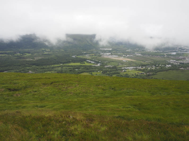
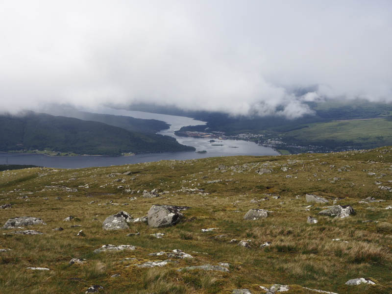
Animal trails, mostly cattle, were followed onto the north-east ridge then it was through pathless vegetation to reach the trig point marking the summit of Meall Bhanbhaidh where the views weren’t great due to the low cloud.
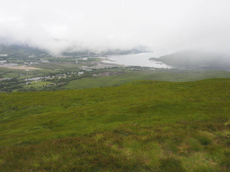
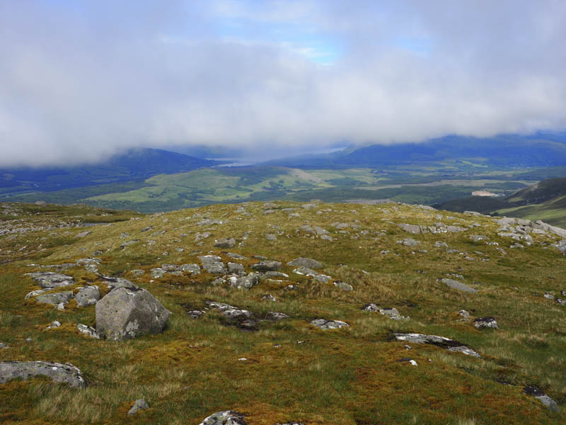
The descent south-east, not recommended, took us through very rough vegetation then across a stock fence into the same underfoot conditions. Low down there was some muddy swampy ground before reaching a fence topped with barbed wire. Once over it there was a ditch to cross before reaching the road south of our accommodation.
Meall an t-Suidhe – In the afternoon I drove up Glen Nevis and parked at the side of the road just south of the Youth Hostel. I then walked back to opposite the Hostel where I crossed the footbridge over the River Nevis and onto the path for Ben Nevis.
This path soon steepened and consisted mainly of stone, well constructed, but it meant watching foot placements instead of the view.
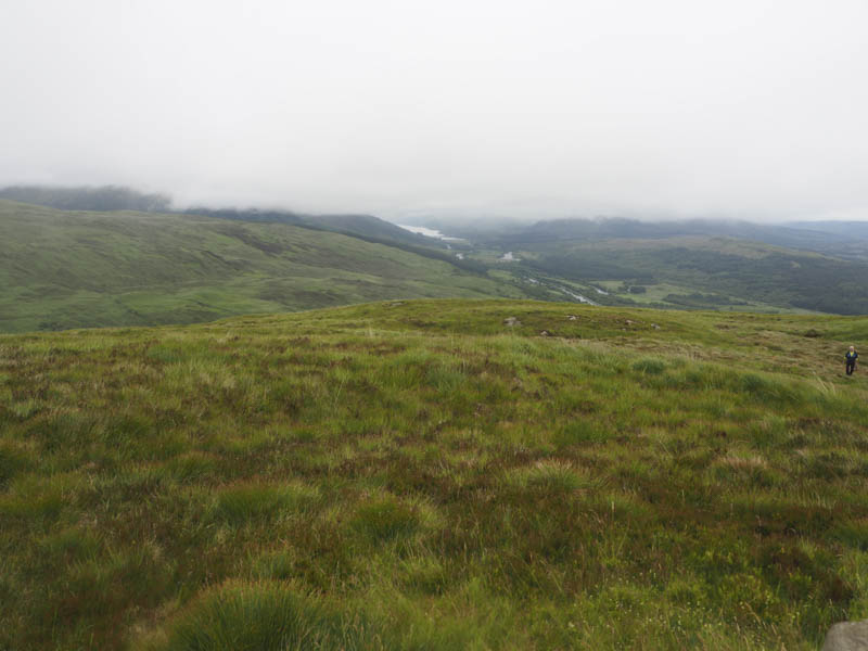
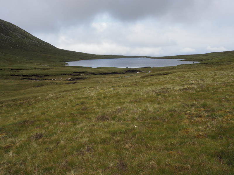
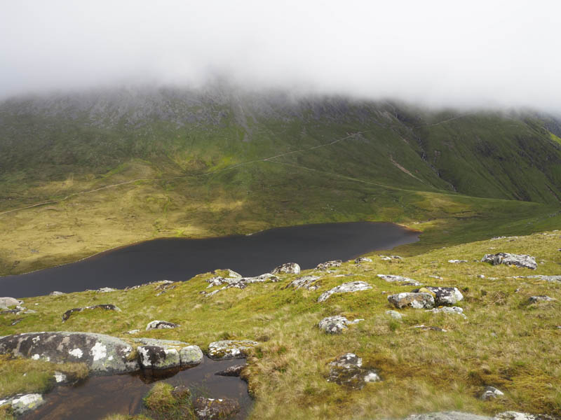
Higher up the path merged with the one rising from the Visitor Centre in Glen Nevis, then after a few zigzags swung round to the north-east, well above the Red Burn. There were lots of folks on their descent. The path here was rougher with boulders then more zigzags led to the south end of Lochan Meall an t-Suidhe.
Here I left the path and ascended the grassy hillside, there were a few boulders, and onto the south ridge of the Hump and Graham Top, Meall an t-Suidhe, and to its summit cairn.
The return was by the upward route.

- Total time taken – 4.75 hours.
- Total distance – 9.75 kilometres.
- Total height climbed – 1005 metres.