Creag Liath – The proposed starting point for this walk was the small car park opposite Easter Balmoral, immediately south of the B976 South Deeside Road but on arrival it was blocked off for forest operations. I therefore parked on the verge further south on the Lochnagar Distillery Road.
I walked back to Easter Balmoral then through the hamlet, signs said Cairn Walks, to the end of the tarred road at Rhebreck and gates in a deer fence. Beyond them an estate track climbed south-west above the Dubh-chlais between the Tumps, Creag an Lurachain and Craig Gowan. On reaching a track junction I went left, losing a few metres of height then a gentle gradient took me out of the trees and onto the open hillside.
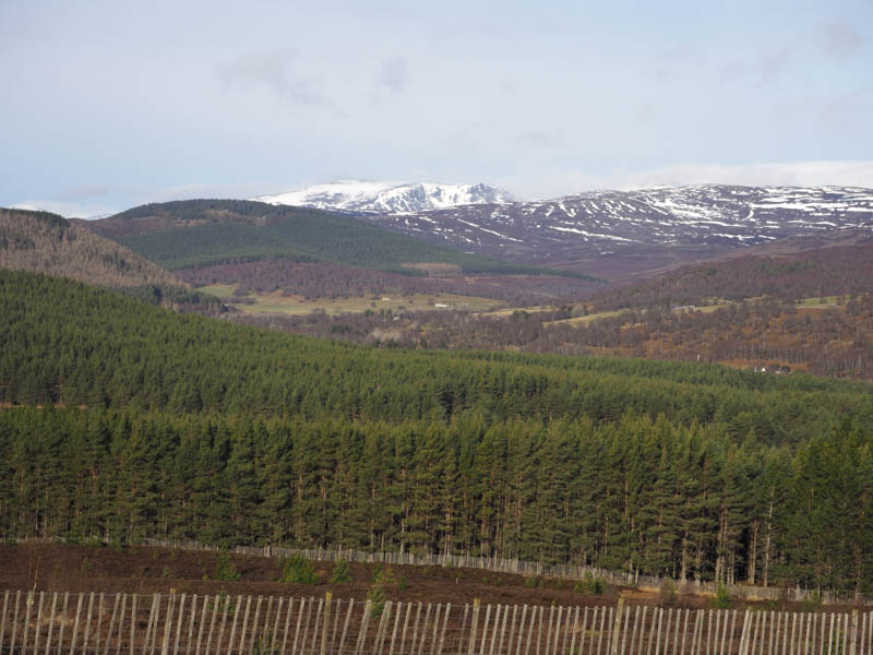
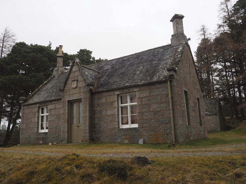
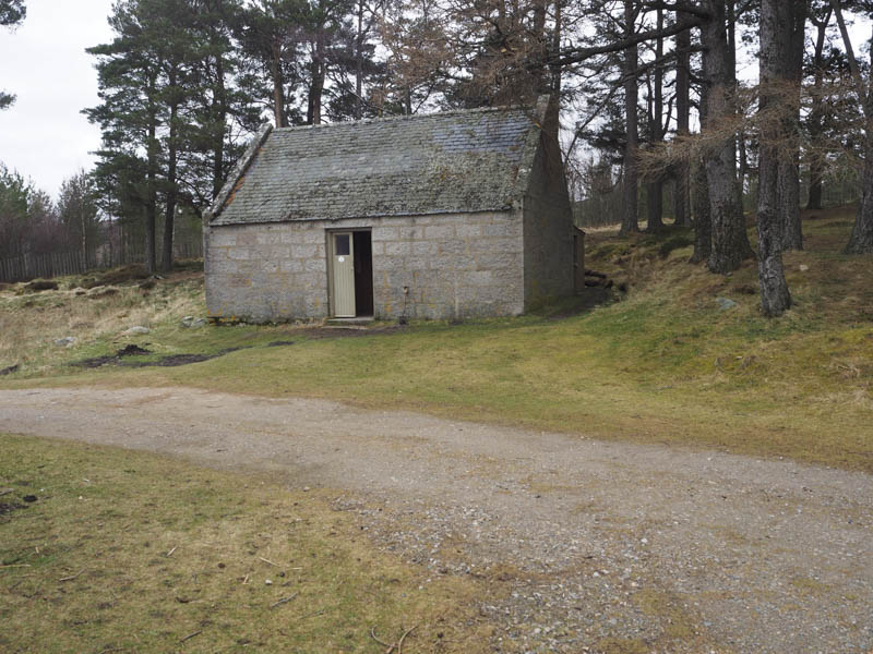
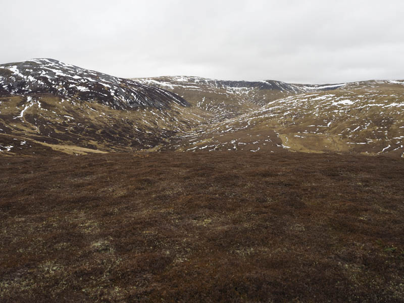
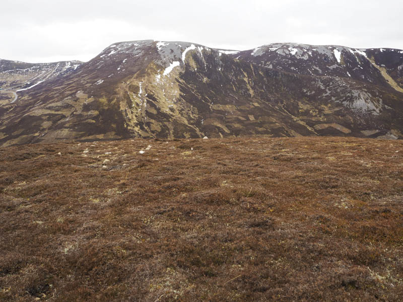
The estate track continued south to the west of Creag nan Gall and above Glen Gelder passing a couple of track junctions to reach the Gelder Shiel, a royal residence with a separate bothy which was occupied at the time of passing
. Once across the bridge over the Gelder Burn the track, now a bit rougher, continued south and south-west coming to an end after a short section of a wet ATV track.
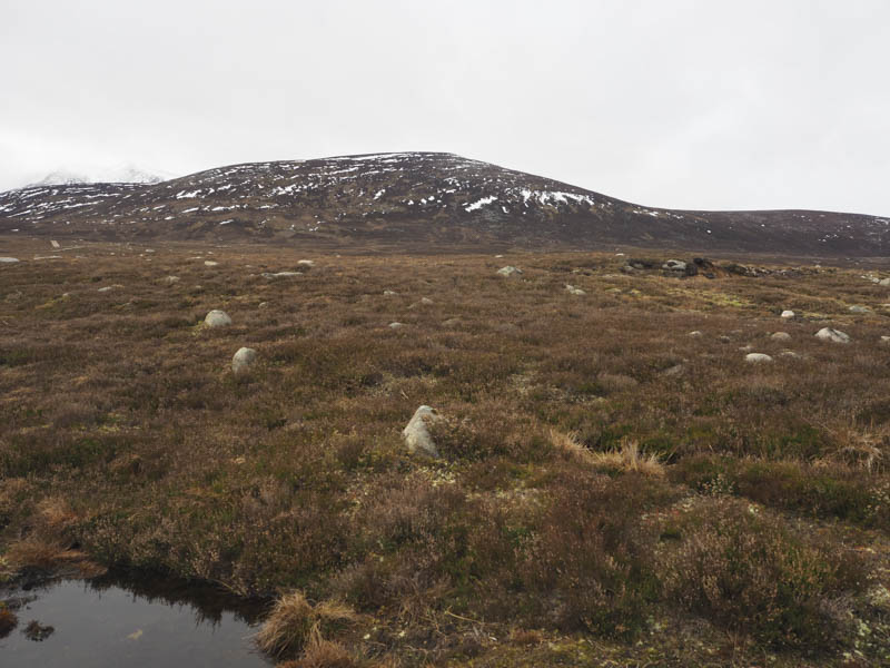
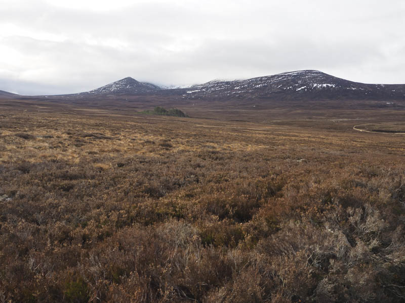
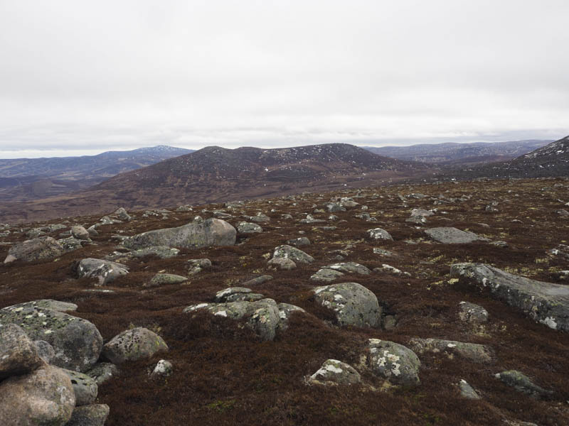
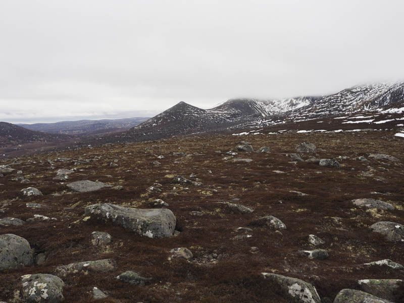
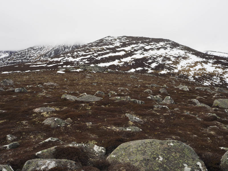
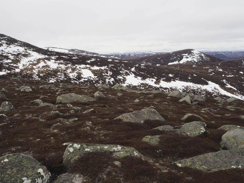
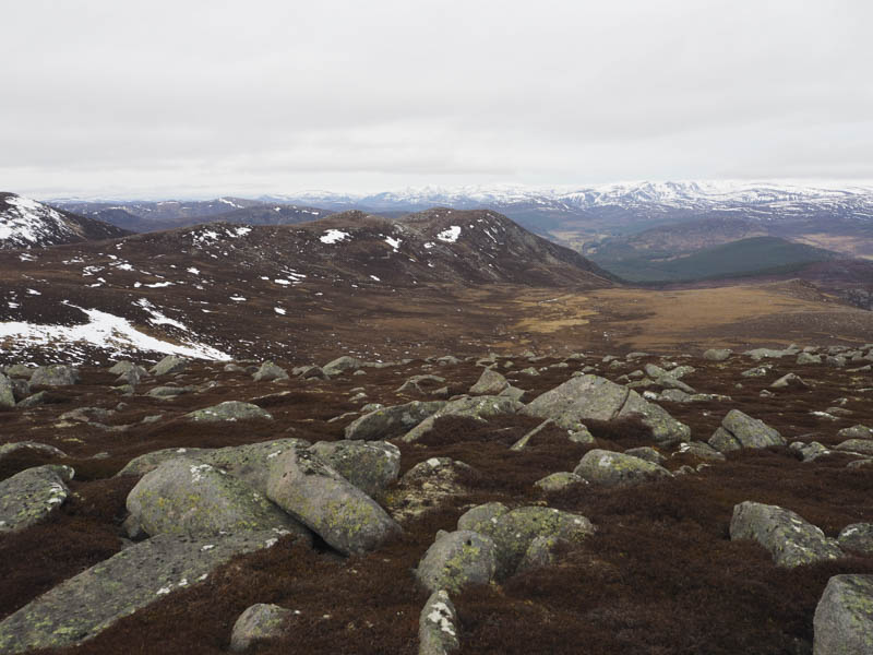
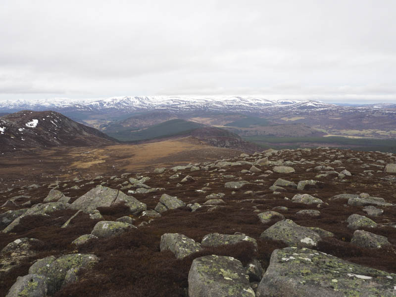
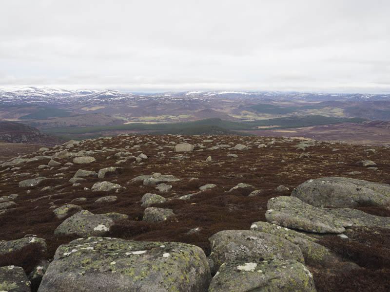
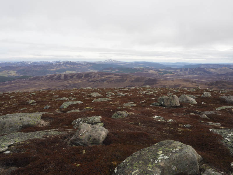
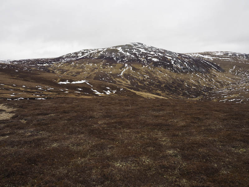
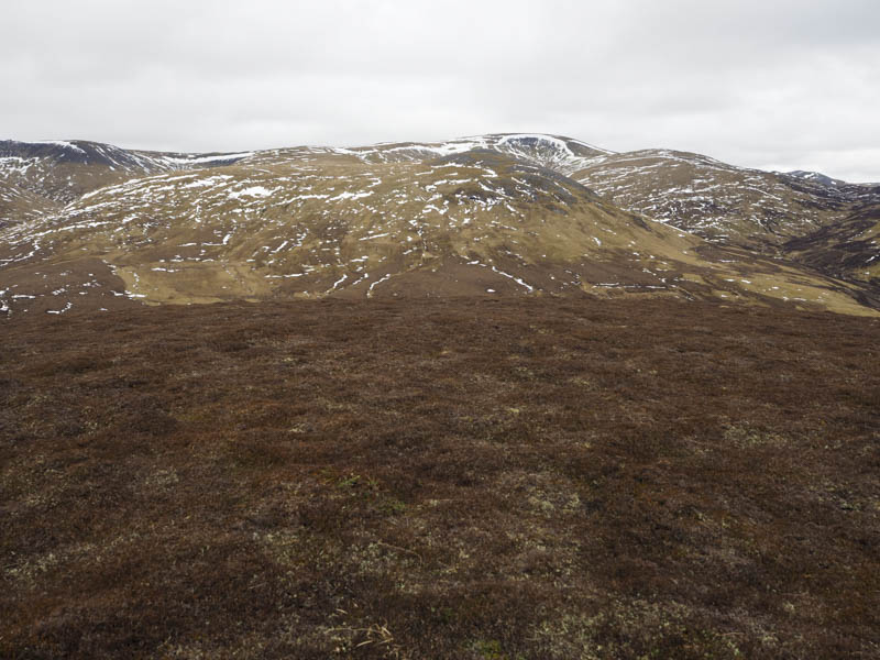
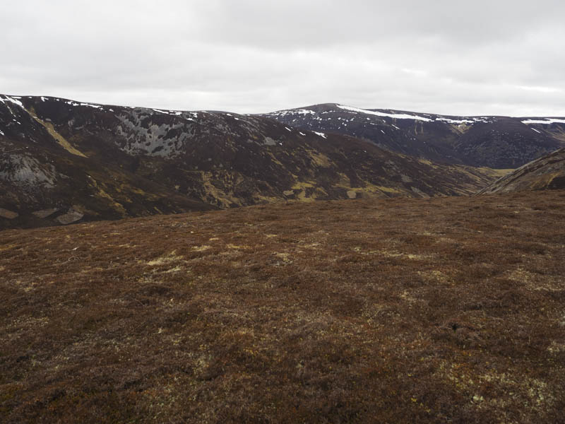
Boggy walkers and deer paths took me onto the lower slopes of Creag Liath then it was through heather and boulders onto its summit area where the vegetation was shorter. The highest point of this Sub Simm was a cairn on an outcrop.
The return was by the outward route.
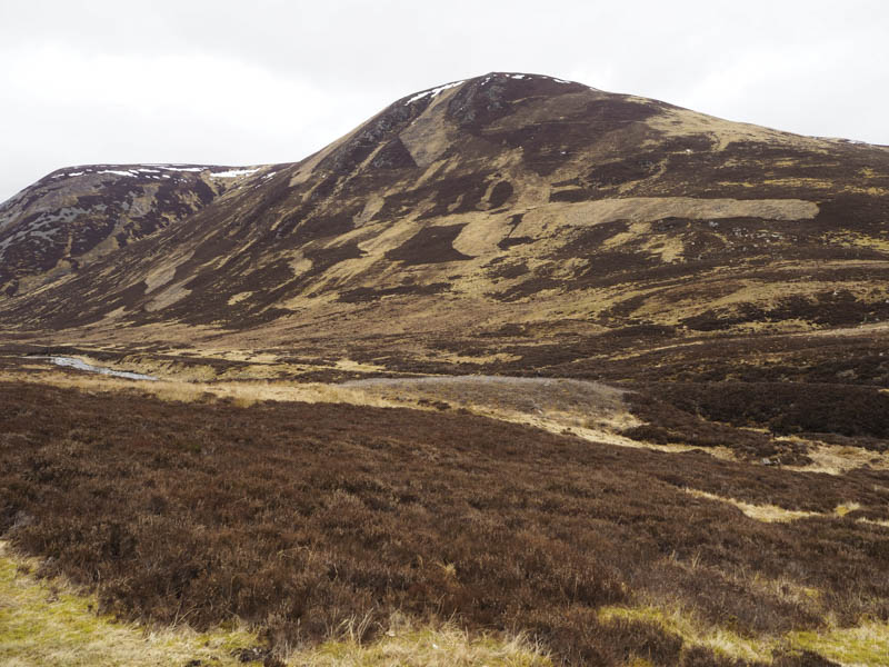
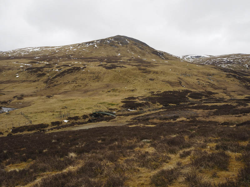
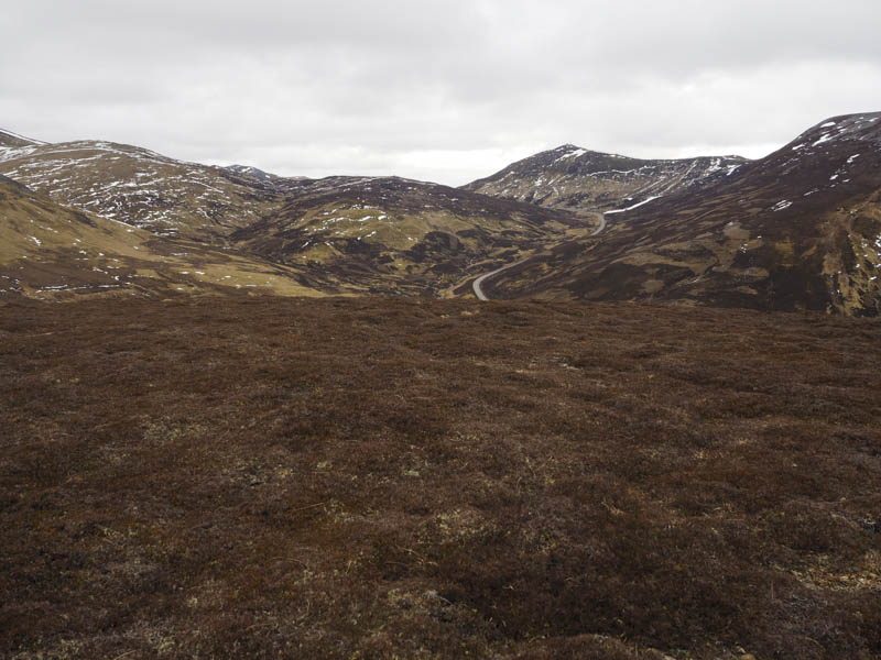
Carn Dubh South Top – I had been meaning to ascend this Sub Simm for some time but it never fitted into any of my plans for the area. It was lunchtime on returning to my car after climbing Creag Liath so I drove round to the A93 Braemar to Glen Shee Ski Centre Road and parked in the small car park on the east side of the road, the starting point for the Munro, Cairn an Tuirc. (NO147799)
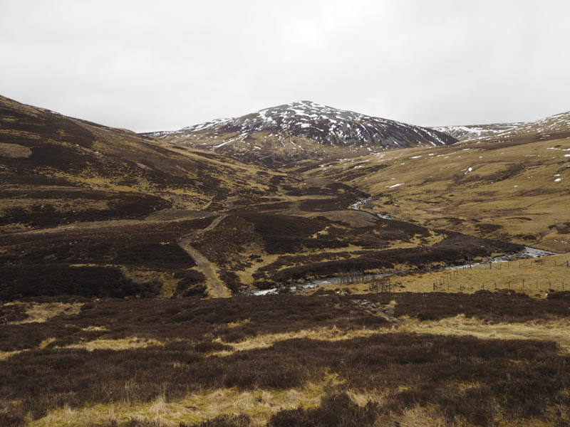
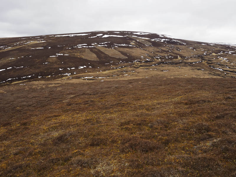
The path initially descended to and crossed the Cairnwell Burn via an old bridge immediately north of its merger with the Allt a’ Gharbh-choire. Beyond the path was wet and boggy and was becoming wider as walkers avoided the worst of the underfoot conditions.
I soon left this path and climbed north through heather, grass and moss onto the summit of Carn Dubh South Top. The highest point appeared to be some heather. There was an old ruined cairn nearby but it looked lower. I then retraced my route back to the car park.
- Total time taken – 6 hours.
- Total distance – 18.75 kilometres.
- Total height climbed – 855 metres.