It was -10C when I parked at Easter Balmoral on the east side of the road leading to Lochnagar Distillery in Deeside. I crossed this road and walked south-west along the snow covered vehicle track passed the houses at Craig Gowan and Rhebreck.
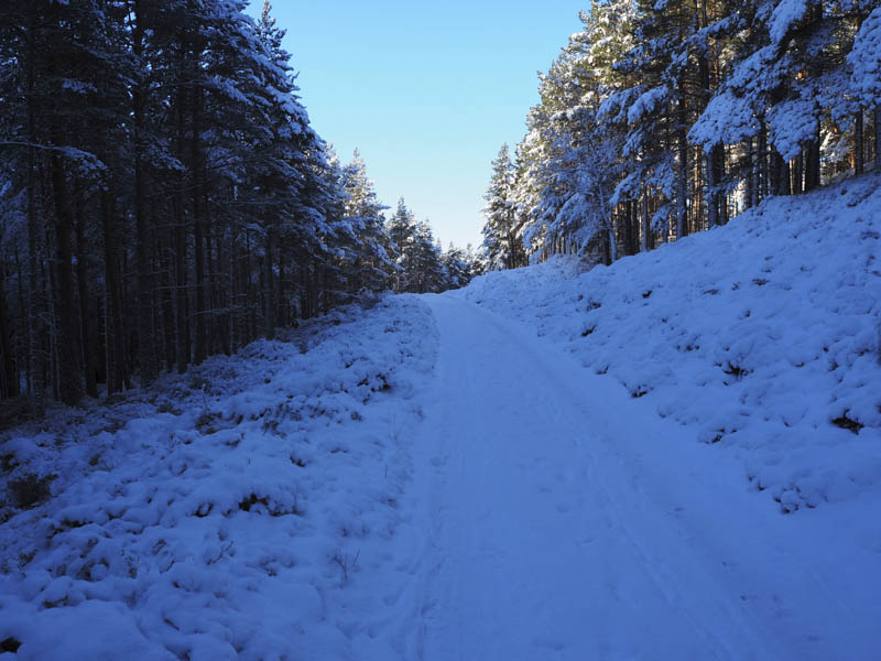
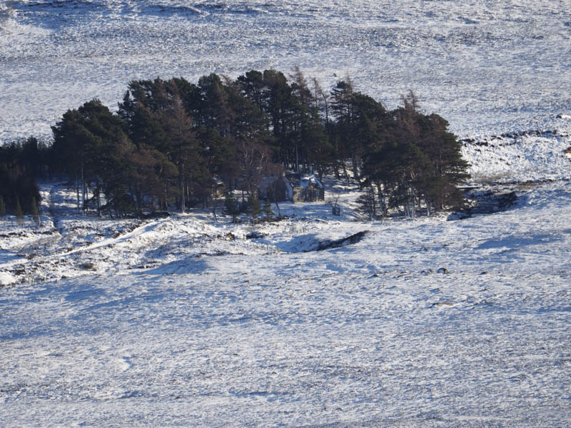
The track then continued through the woods and between the hills of Craig Gowan and Creag an Lurachain passing an enclosure of ponies to reach the footbridge over the Gelder Burn. Here I joined another vehicle track which took me into the Woods of Garmaddie.
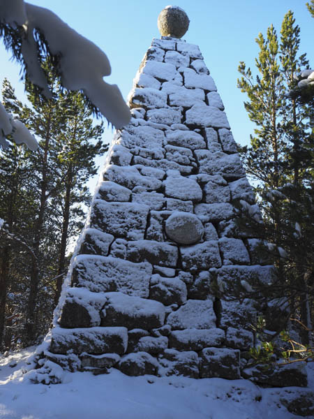
I left this track near its highest point and commenced the ascent north onto Canup. The trees on the whole well enough spaced but there was some brash and fallen timber to contend with as well as several large rock faces to avoid. Higher up I crossed snow covered heather to reach the memorial cairn marking the summit of this Tump.
The return to the vehicle track was by the ascent route then I briefly walked south-west before leaving the track and heading south through the trees to their southerly extent. After walking west along the edge of the forest I left the tree line and crossed snow covered long heather and tussocky ground to reach a vehicle track and then what was probably an ATV track leading to an old stone dyke on the north side of Ripe Hill.
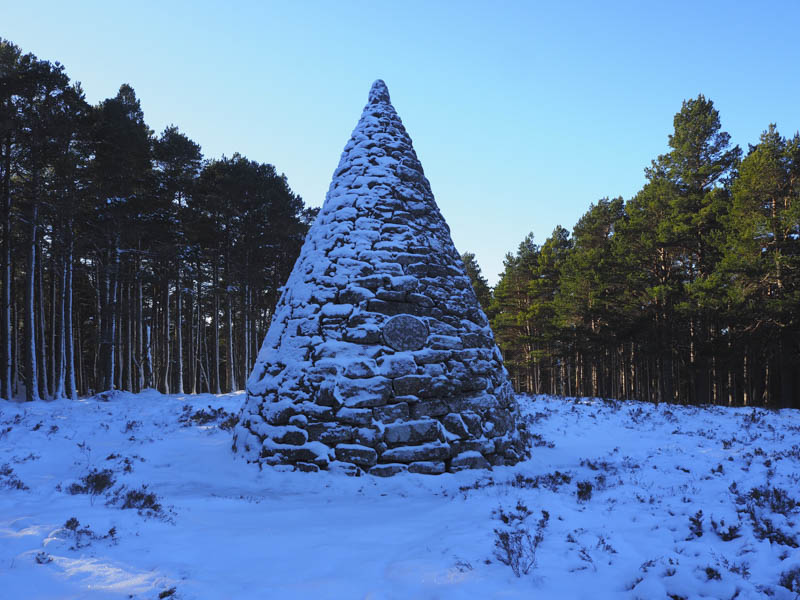
Here I entered the well spaced trees and commenced the ascent of Ripe Hill avoiding some fallen timber. Eventually I reached the commemorative cairn to the wedding of a Duke of Edinburgh then onto the cairn marking the summit of this Tump.
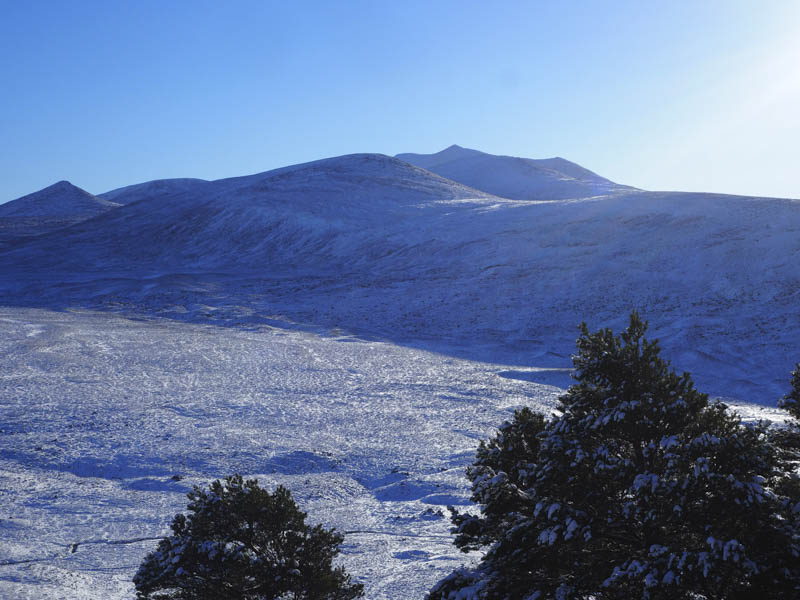
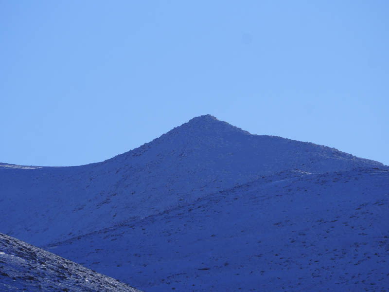
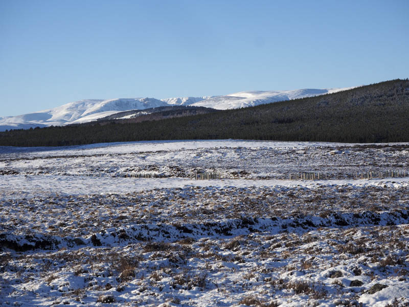
Nearby I found a break in the trees with good views across to Lochnagar.
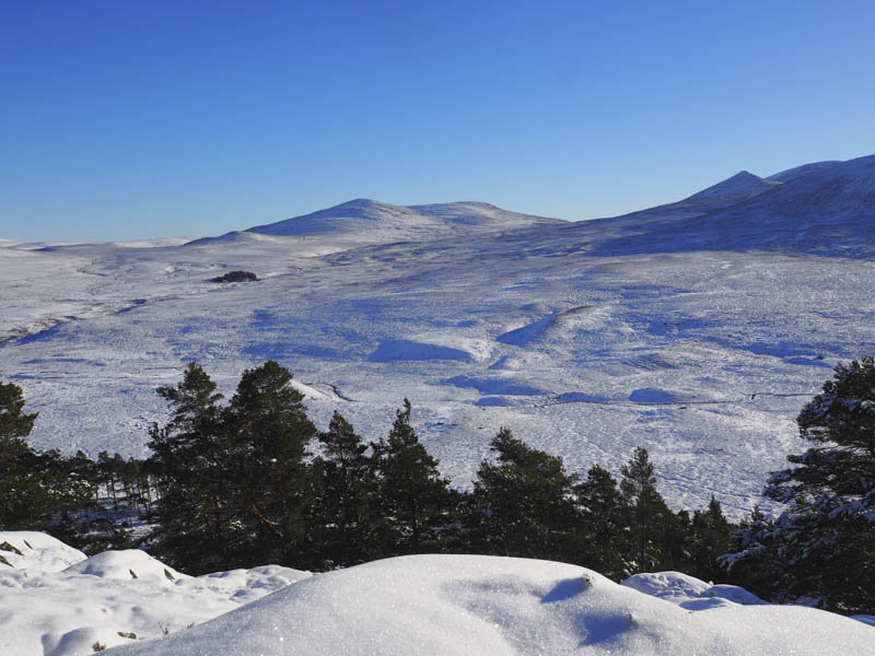
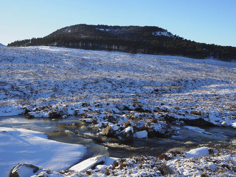
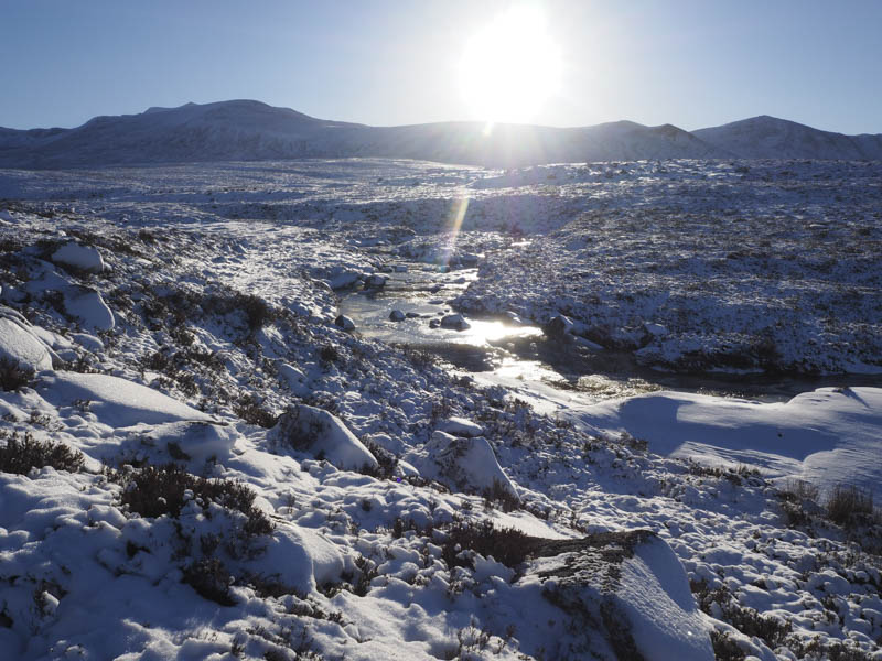
I descended north-east later leaving the trees and entering Glen Gelder. On reaching the Gelder Burn it wasn’t possible to cross due to ice and snow cover so I walked up the west bank, through long snow covered heather, to a bridge.
After crossing it I returned down its east side on an ATV track later leaving it and walking through some rough vegetation to join the vehicle track high above Glen Gelder. This track was followed north to the track used earlier in the day then I retraced my route back to the start.
- Time taken – 5.25 hours.
- Distance – 12.5 kilometres.
- Height climbed – 470 metres.