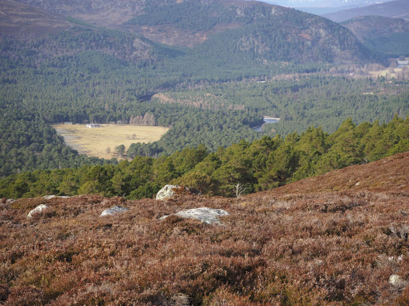
I parked on the south side of the A93 Ballater to Braemar Road beside the Garbh Allt Shiel footbridge, east of Invercauld. The gate giving access to the bridge was padlocked but using one of the bridge pillars I managed to clamber over the gate, walked across the bridge and along the estate track passed the property at the Garbh Allt Shiel. I then headed north-east to just beyond the Ballochbuie Burn where I left the estate track and walked south-east on an overgrown path which contained sections of bog.
Higher up I lost the line of the path and ended up walking through some long heather avoiding a few fallen trees and some juniper bushes. Once clear of the forest I continued through the long heather as I ascended Craig Doin. I wasn’t able to identify the highest point of this Tump so visited a couple of possibilities.
Thereafter I descended south-east to the col with Cnap a’ Choire Bhuidhe, avoiding the rocks, then climbed this Tump, again I wasn’t able to pinpoint the actual summit.
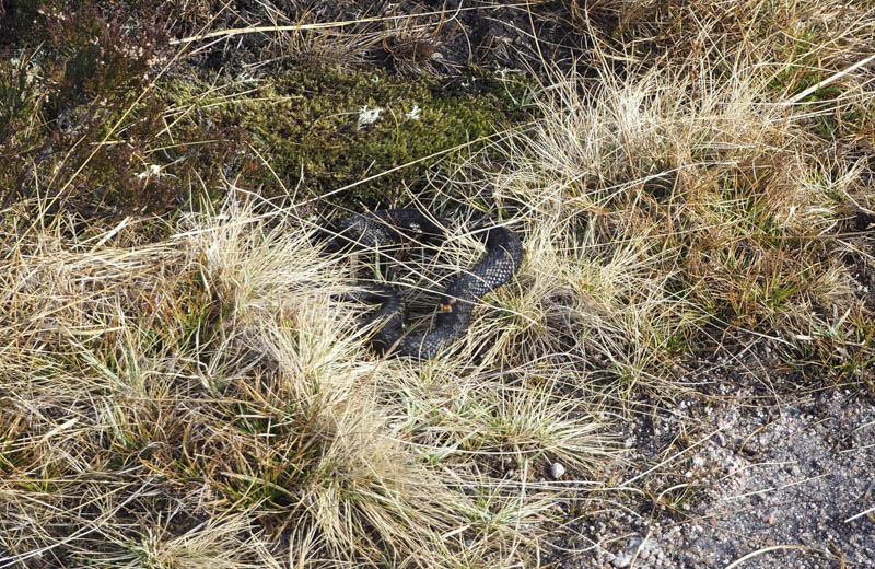
After a break here I descended south to the Feth an Laoigh where I almost stood on an adder.
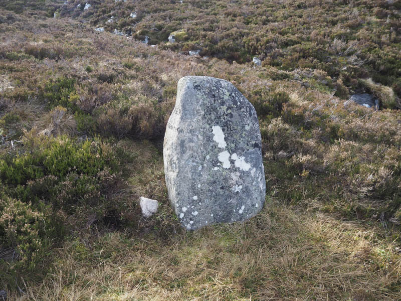
I located the path on the east side of the burn and followed it to The Prince’s Stone, which was just a standing stone with some inscription which was difficult to read.
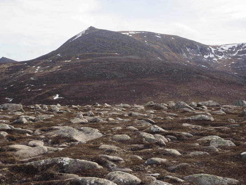
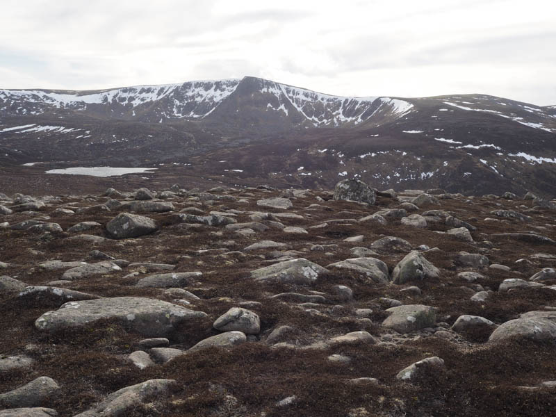
I then walked through long heather and boulders as I headed round and over the south-east ridge of Lochnagar North-West Top. I descended to and crossed the Blacksheil Burn then ascended Meall an Tionail through heather which became shorter as height was gained. The highest point of this Corbett Top was obviously a boulder but I couldn’t tell which one.
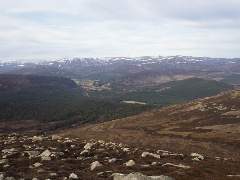
An awkward descent north-west through numerous boulders took me to the Allt Lochan nan Eun. Once across it I followed the edge of a deer fence through some rough vegetation to the Feindallacher Burn which was easily crossed. I climbed an embankment onto an estate track and followed this and other tracks back through Ballochbuie Forest to the Garbh Allt Shiel footbridge.
- Time taken – 5.5 hours.
- Distance – 14.75 kilometres.
- Height climbed – 815 metres.