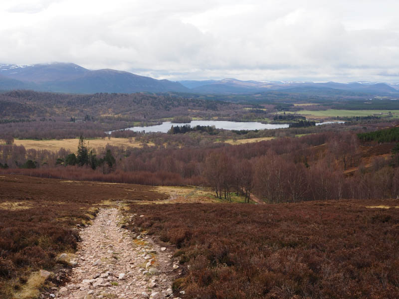
I left my car in the small parking area immediately before the Outdoor Activity Centre at Alltnacriche, accessed along the single track road from A9 at Lynwilg, just south of Aviemore. I passed through the pedestrian gate giving access to the Burma Road, a hiking and mountain bike circuit west of Aviemore. Initially it was a steep climb up the vehicle track, partially tarred, to the east of Alltnacriche, before the gradient eased and a wooden gate in the deer fence was reached.
The vehicle track was followed for a further few hundred metres before leaving it at NH871114, crossing a stile over a stock fence and following a rough vehicle track north to the edge of a small plantation.
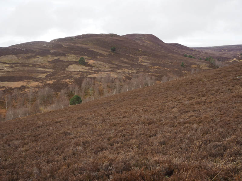
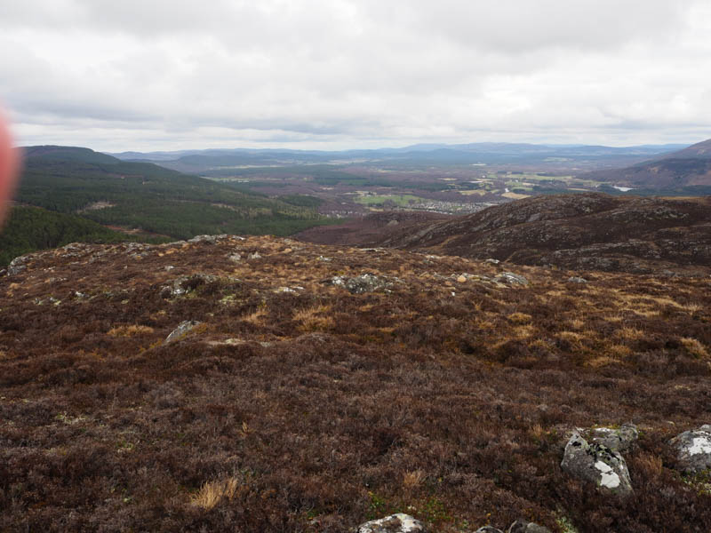
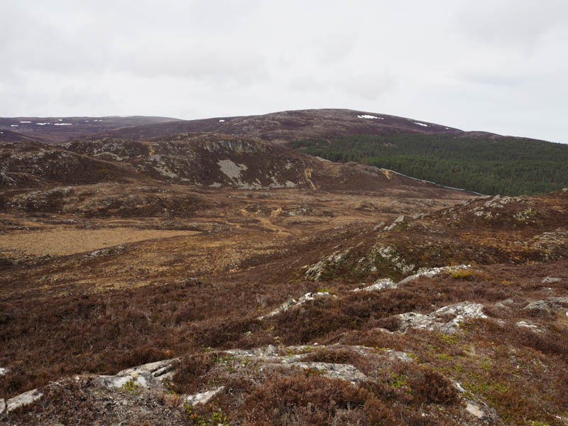
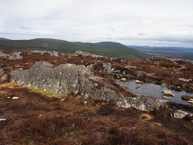
I continued up the side of the fence enclosing this woodland then it was through some long heather to reach a stock fence which I crossed on three separate occasions to reach the cairn on Creag na h-iolaire. The highest point of this Sub Dodd was apparently a cracked outcrop two metres to the west of the cairn.
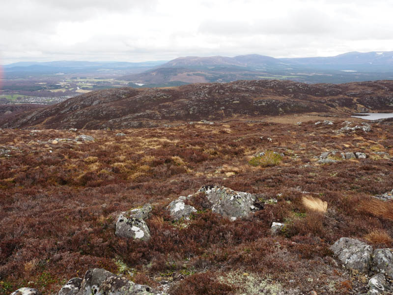
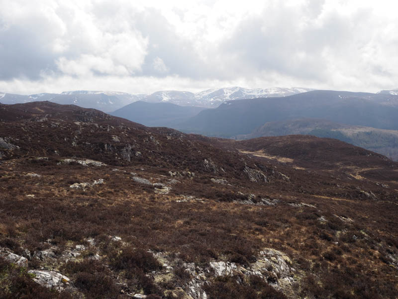
Initially I descended Creag na h-iolaire’s South-East ridge but it became quite steep so I dropped east and walked through heather to the boggy ground north of Lochan Dubh.
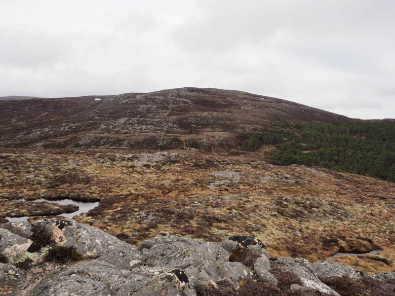
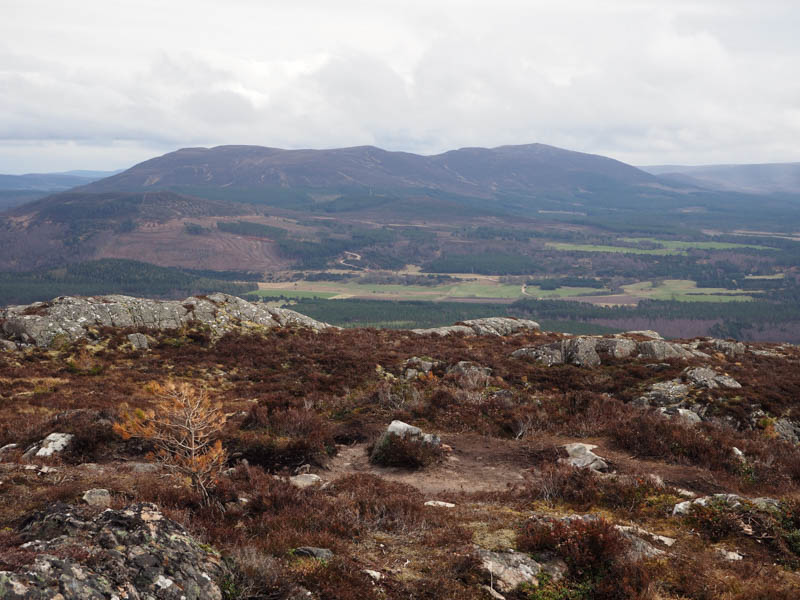
It was then a relatively easy climb to the summit of the Tump, Craigellachie, where there were two highpoints, one west of the cairn, the other to the north.
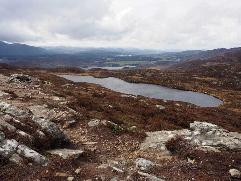
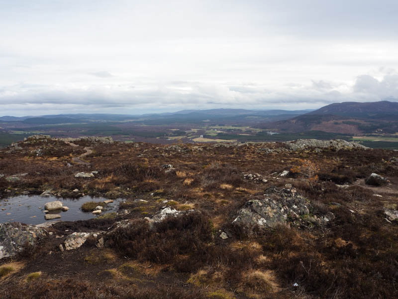
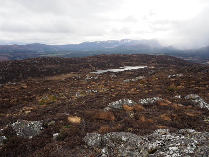
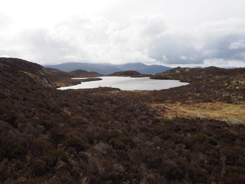
It was rather windy here so I didn’t linger long and descended on what appeared to be a path but it disappeared just before reaching Lochan Dubh.
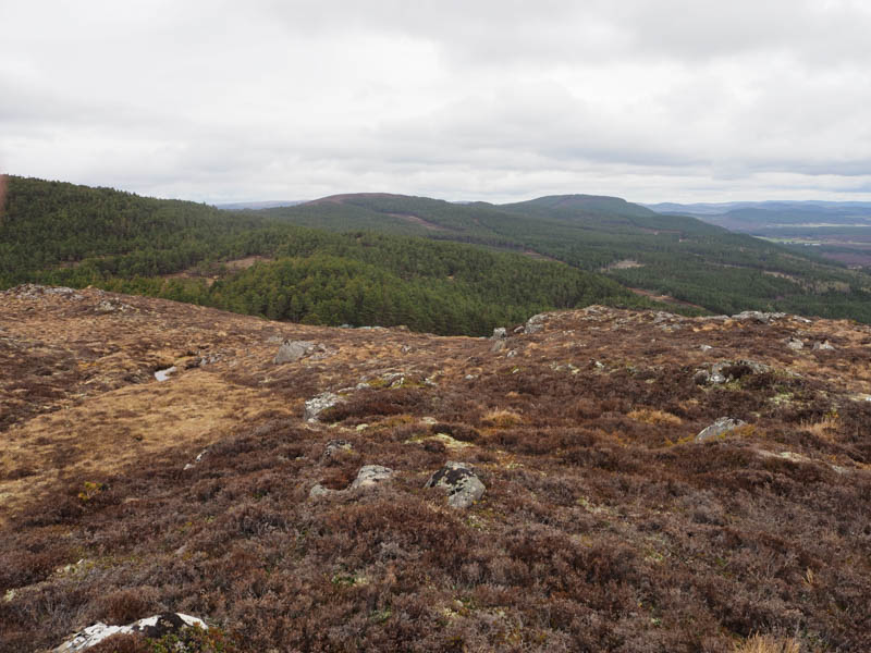
I walked round the north side of this lochan then headed across heather and bog, re-crossing the stock fence once again, to reach the south-east corner of the plantation I past on the ascent of Creag na h-iolaire. I then followed the outward route back to the parking area.
- Time taken – 2.25 hours.
- Distance – 5 kilometres.
- Height climbed – 350 metres.