Maol Mor and Maol Beag – Parked beside an unused gate on the A890 Auchtertyre to Strathcarron Road opposite Lochalsh Dam, passed through the pedestrian gate into Auchtertyre Woodland and along an old section of roadway which was grassy and wet.
I soon left the roadway and walked through some trees and rough ground including dead bracken then onto a more grassy area where it was easy going.
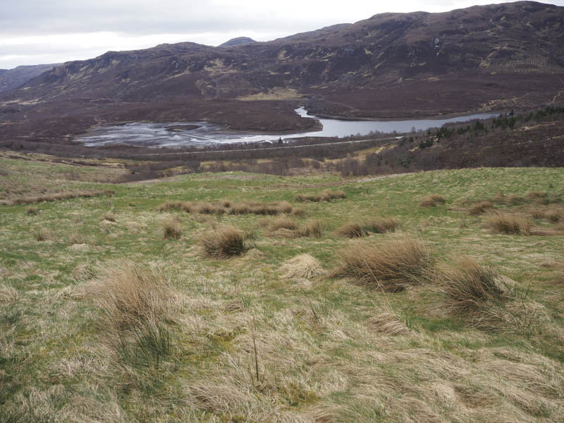
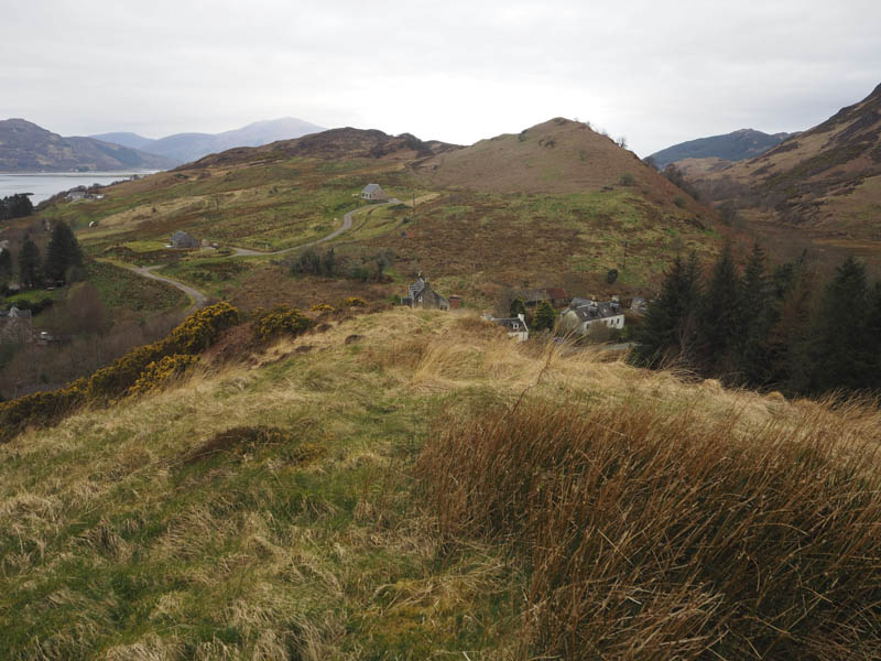
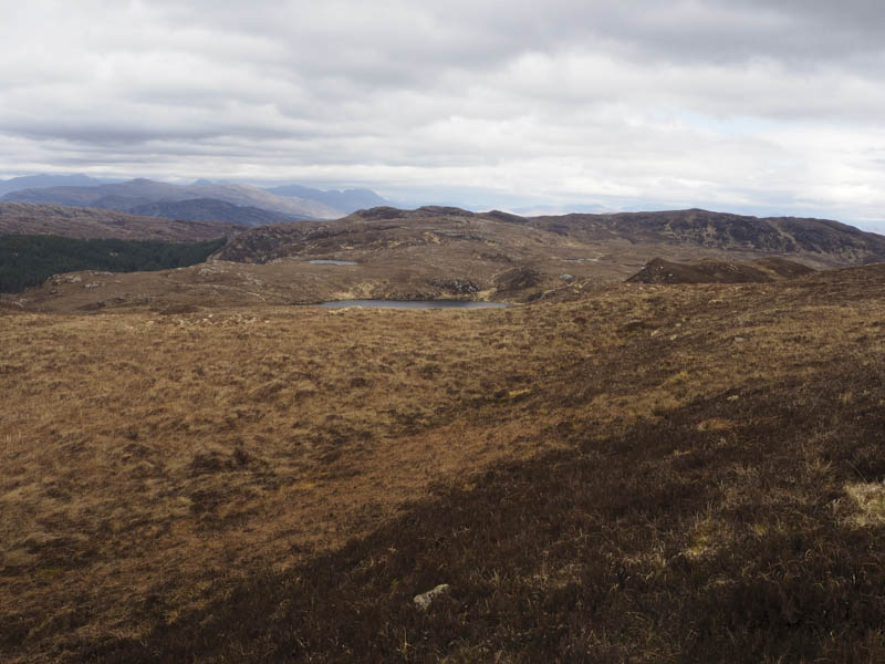
Higher up there was more rough ground, grass, heather and some new tree plantings before I reached the summit of the Tump, Maol Mor, with two outcrops challenging for the highest point.
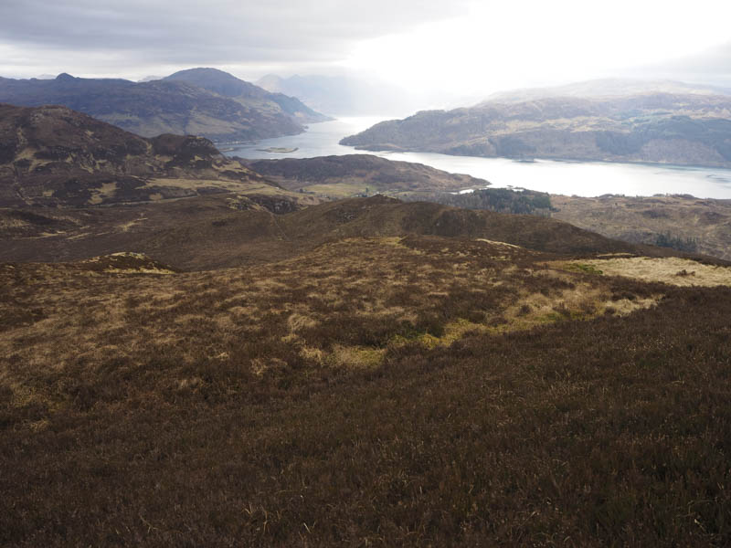
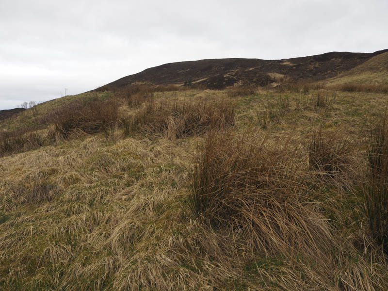
It was a fairly steepish heathery descent south-east to the col with Maol Beag where there was a gate in a deer fence. Once beyond this gate it was a relatively steep climb through heather, initially along the side of the deer fence, before heading onto the summit of the Tump, Maol Beag, marked by a grassy/mossy knoll.
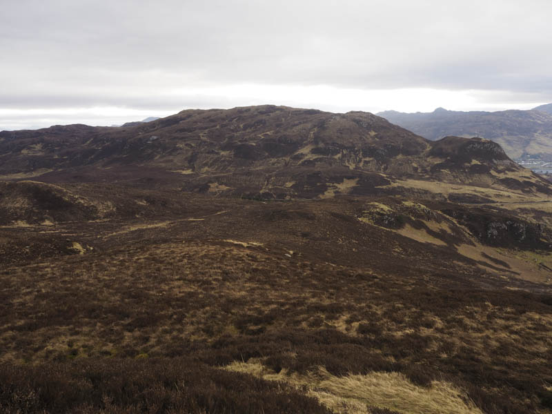
I returned to the gate in the deer fence and followed a path north-east, there were a few boggy areas, to the ascent route for Maol Mor then descended back to the start.
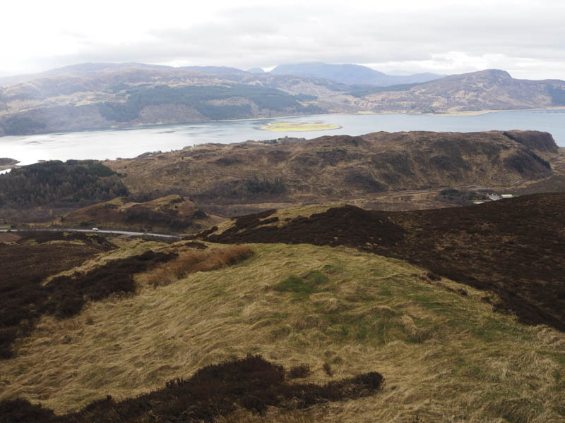
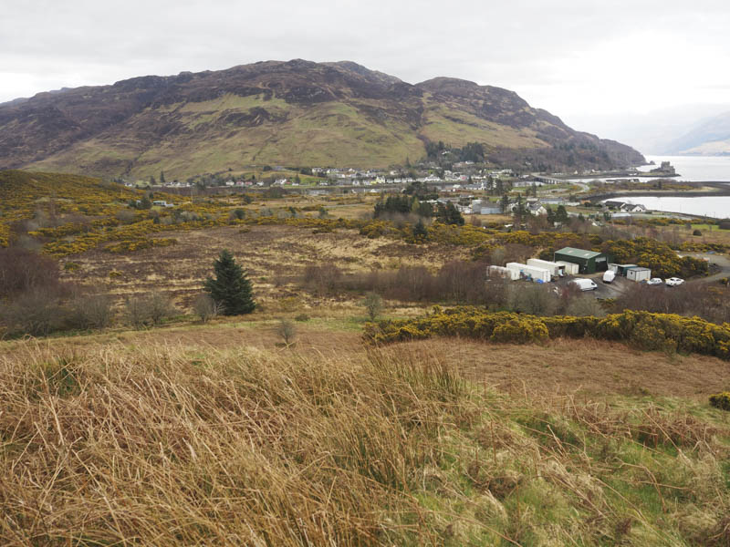
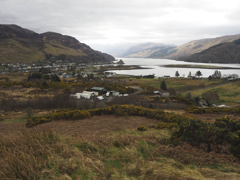
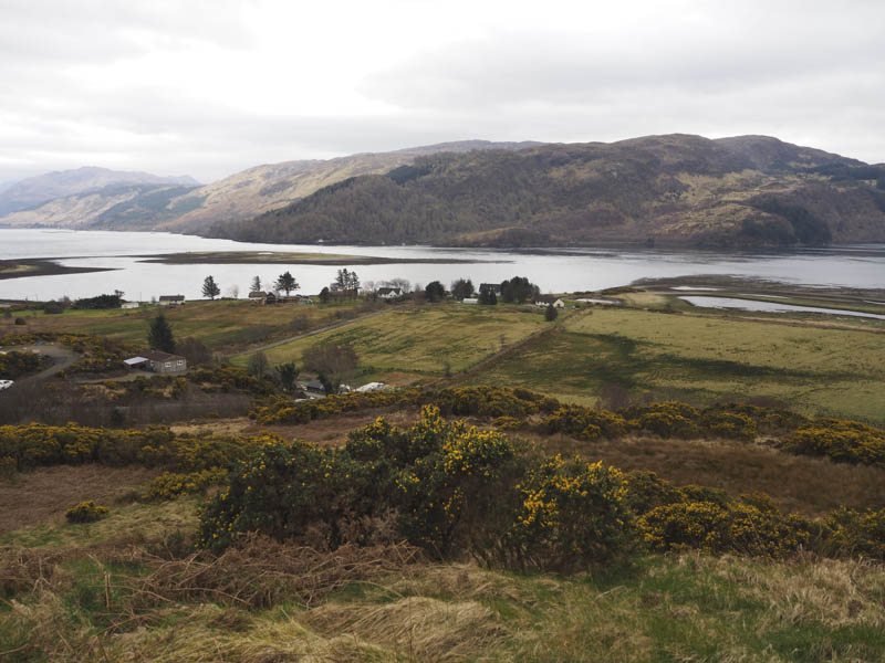
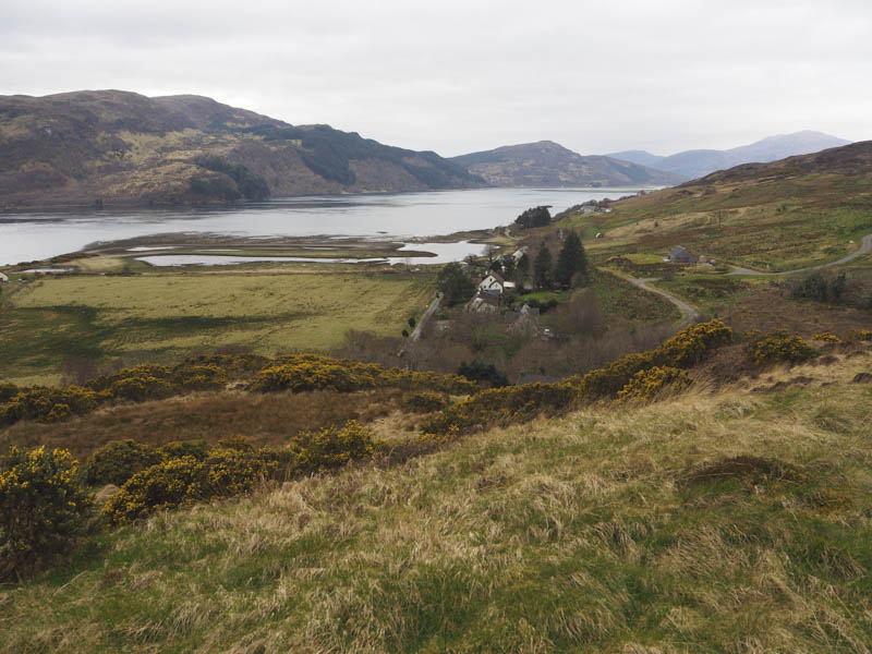
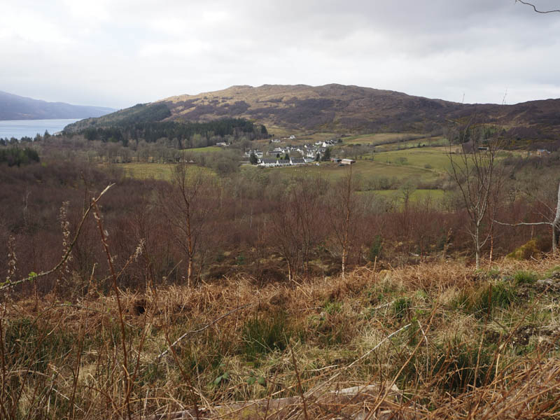
Tor-na-Uinnseann – This Tump was located on the south side of the A87 Kyle of Lochalsh to Dornie Road immediately above the hamlet of Ardelve. There was no obvious route onto this hill so I found a parking spot followed by a short road walk to a corrugated roofed building. I walked up the side of this construction, crossed a stock fence intertwined with a few brambles then through grass, avoiding the gorse bushes, onto Tor-na-Uinnseann. A grassy knoll marked the highpoint.
I then retraced my route.
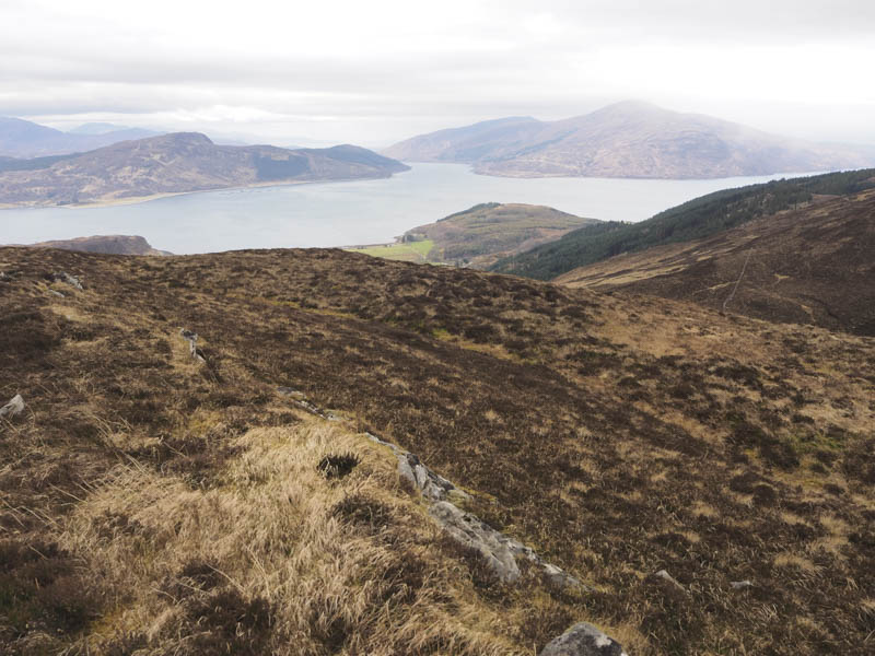
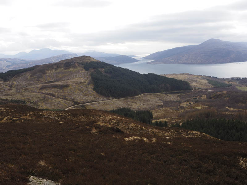
Stob Loch na Doir Moire – I left my car in Balmacara Square, located north of the A87 Kyle of Lochalsh to Dornie Road, and walked briefly south crossing the bridge over the Balmacara Burn and onto a forest track. This route was signposted for Plockton.
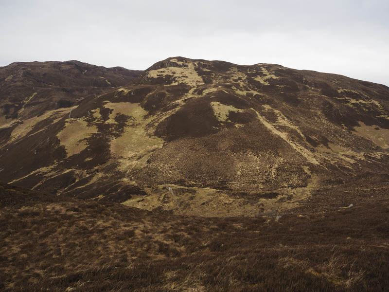
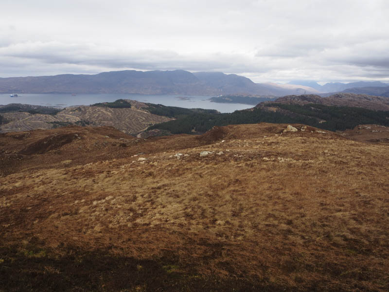
The track wound its way uphill, north-east, below Sgurr Mor and Auchtertyre Hill through areas where the trees had been cleared.
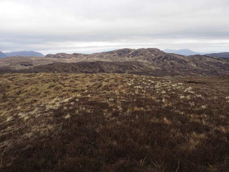
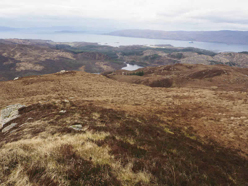
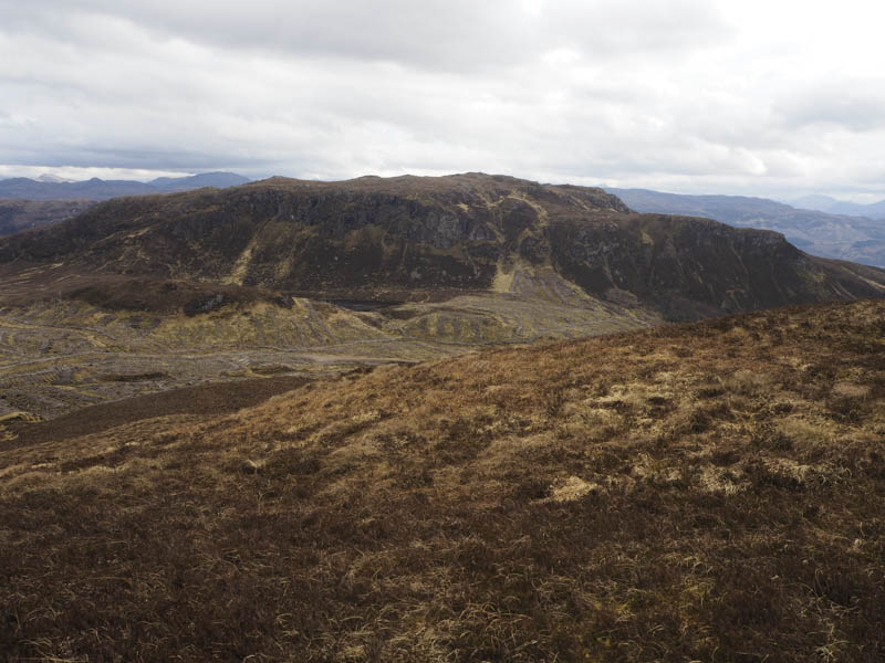
After a large Z bend the track headed north to a junction of tracks where the route to Plockton went left, west. I went right, north-east, but the good quality track was soon replaced by a wet and boggy track used by extraction vehicles. At its highpoint I left the track, crossed some brash and climbed west onto the Tump, Stob Loch na Doir Moire, through heather and grass. The summit wasn’t obvious as there were three possible highpoints.
The descent south through heather and grass was easy enough then the ground steepened to reach a gap in the trees. Once through this gap I was onto another forest track and nearby there was a signpost for the Waterfall Trail. This path was followed west to the road at Colliemore then it was a short downhill walk back to Balmacara Square.
- Total time taken – 5.5 hours.
- Total distance – 12.5 kilometres.
- Total height climbed – 730 metres.