I wouldn’t normally contemplate ascending Beinn Bhreac in winter as it’s a remote Corbett but with no substantial snow so far and the possibility of the cloud lifting I decided with an early start I could probably complete the trip in around 10 hours.
I headed to Blair Atholl and was parked up and walking from the car park at Old Bridge of Tilt by 6.45am. It was obviously still dark and my head torch showed that there was a light drizzle falling. I walked along the tarred road to Old Blair then up passed the houses at Bailanloan although the place was in darkness. A good vehicle track then continued to Blairuachdar Farm and into Blairuachdar Wood where the eyes of roe deer lit up from the torchlight.
I continued along the vehicle track which passed above the rifle range, not that I could see it, through three gates in deer fences and to the open hillside. It was now beginning to get light and I could see the outline of the nearby hills. The track passed a locked hut and by this time the head torch was no longer required. I crossed the Allt Slanaidh then just beyond it I left the estate track and followed a rough and in some places icy path round the west side of Elrig before descending into Gleann Diridh.
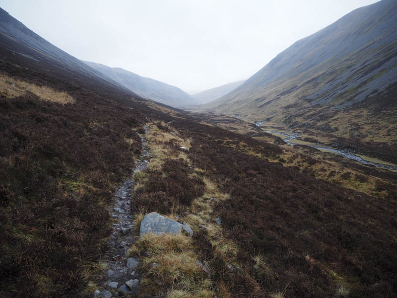
It was a long walk up this glen the rough path making slower progress than I expected. Higher up the path came to an end to be replaced by animal trails with a few alternative routes on the west side of the Allt Diridh.
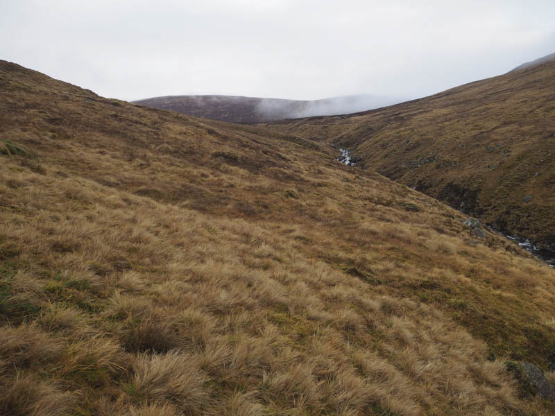
The glen narrowed and there were a couple of small landslips to climb round before the gradient eased and I continued along grassy banks of tributaries of the Allt Diridh trying to avoid the rough heathery vegetation.
Low cloud was covering the hill tops as I climbed onto the east ridge of Elrig ‘ic an Toisich then to the highest point of this Corbett Top which was apparently an embedded rock. The descent north took me initially across some short vegetation then into long heather and out of the cloud. I could now see my destination and it appeared that the cloud was lifting off its summit.
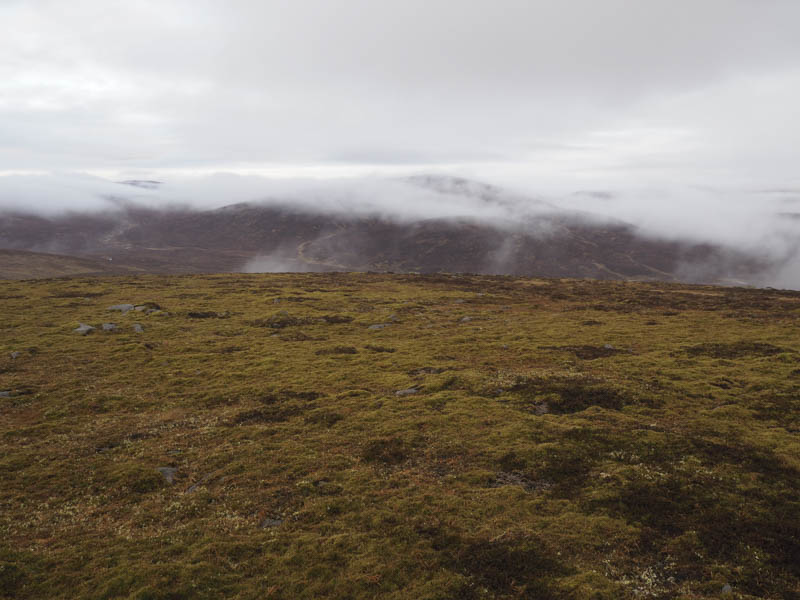
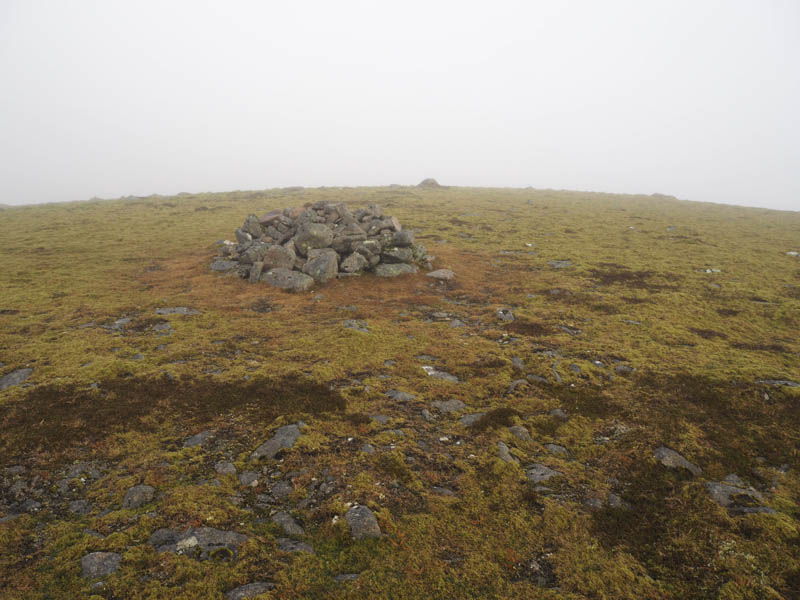
I reached a stream and followed its grassy banks, crossing and re-crossing the burn frequently, until I came to the Tarf Water which was low and easily crossed. The ascent of Beinn Bhreac commenced over more rough vegetation and towards the 778 point where there were peat hags. By this time the cloud had unfortunately lowered with drizzle which had been off and on all day. I arrived at the summit of Beinn Bhreac, where the highest point was 25 metres NE of the cairn, in just under six hours from setting out from Old Bridge of Tilt.
With no views and a long return walk, I wasn’t going to make it in the estimated 10 hours, so headed back to the Tarf Water and briefly below the low cloud. I had already decided not to return via Gleann Diridh but to cut across to the Beinn Dearg path. However the low cloud was now going to make this a navigation exercise so I re-ascended Elrig ‘ic an Toisich, took a bearing and in the mist followed the bearing across rough vegetation and peat hags to eventually reach the path south of Beinn Dearg.
I followed this path to and crossed the Allt Sheicheachan, then onto the estate track which climbed over the west side of Beinn a’ Chait to reach the Allt Slanaidh. It was getting dark as I passed the point where I had left this track earlier in the day. With the aid of my head torch I returned by the outward route as the drizzle got heavier reaching the car park eleven and half hours after I set out, ninety minutes longer than planned. Surprisingly I never met or saw anyone on this trip.
- Time taken 11.5 hours.
- Distance – 42.5 kilometres.
- Height climbed – 2065 metres.