I’m reluctant to pay £9 to leave my car anywhere, including at Succoth in Arrochar, to access the hills so as was the case on my previous ascent of The Cobbler I headed for the A83 in Glen Croe. North of Laigh Glencroe I parked on an area of rough ground on the east side of the road immediately south of the bridge over an unnamed stream. (grid ref NN242060) This area was capable of holding several vehicles and was almost full when I arrived, although the vehicle occupants must have been elsewhere as I never met anyone on my route to and from The Cobbler.
On setting off I crossed a stock gate then a fence (there was a stile but the ground around it was rather muddy) and accessed the rough path that followed the south bank of an unnamed stream.
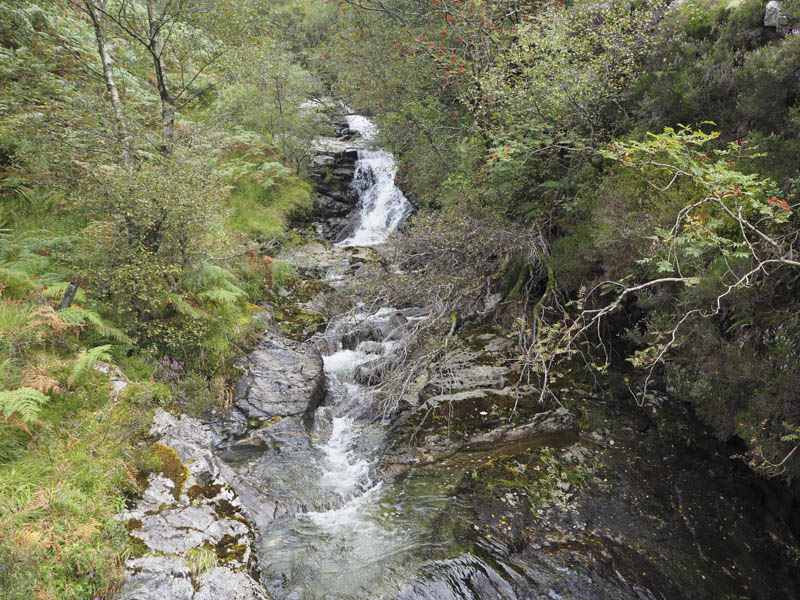
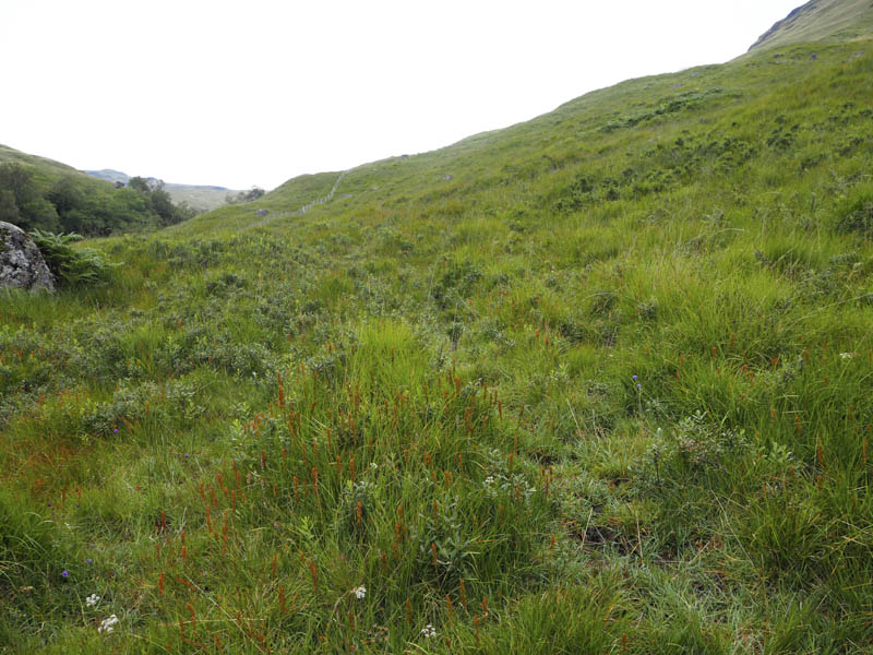
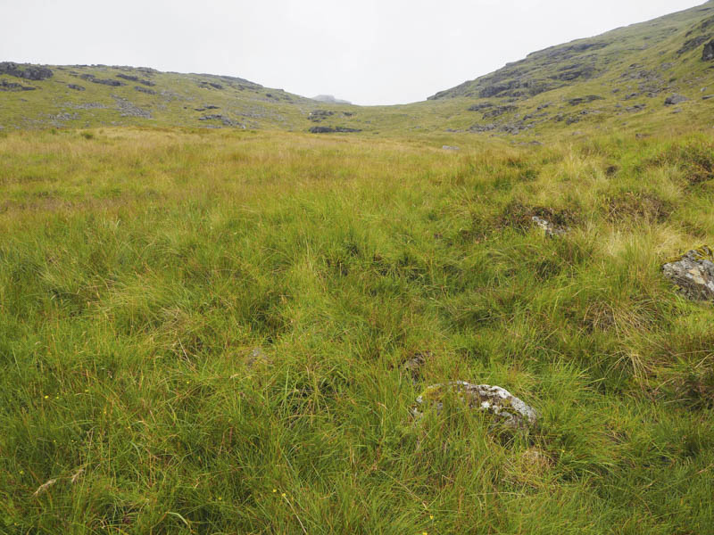
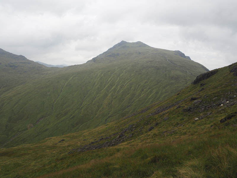
This path was wet and boggy in sections with overgrown vegetation. The stream flowing down from the north side of The Cobbler was crossed and I located a path on its east side. Higher up this path became less obvious and here I encountered a shower of rain as the cloud base lowered.
On reaching the col between the North Peak and The Cobbler’s highest point there were several folks coming and going. A path led to the summit area and here more folks were seated or hanging around.
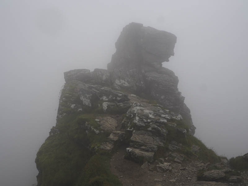
I also hung around waiting to see if the cloud would clear which it didn’t. During this time only one chap appeared on the highest point of the Corbett while others just visited the start of the scramble. As the number of folks on the summit area diminished I headed over to the rocks, crawled through the hole and scrambled onto the exposed summit which was rather tricky as the rock was wet and slippery in places.
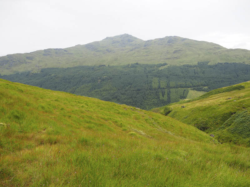
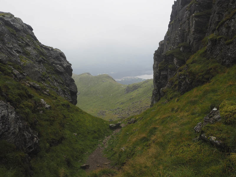
The down climb was a bit more awkward due to the condition of the rock. I then returned to the start by the upward route although lower down I cut across the hillside to join the path around a half kilometre from the parking area. By this time the cloud had lifted above the mountain tops.
- Time taken – 3.5 hours.
- Distance – 5 kilometres.
- Height climbed – 725 metres.