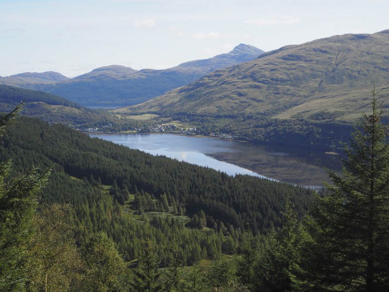
I intended climbing the Corbett, The Brack via the Graham Top, Cruach Fhiarach, which meant finding a route through the forest. I therefore left my car on the west side of the Croe Water at Ardgartan, accessed off the A83 Rest and Be Thankful Road, and walked south along the unclassified road towards Coilessan.
After a few hundred metres I came to a marker post which appeared to indicate a route into the forest but on leaving the road there was no obvious sign of a path. Despite this I continued through the trees which were sufficiently spaced to allow me to make progress. The gradient was fairly steep with some dead trees lying around and large boulders to avoid. The ground was wet in places, boggy and ended up being a poor route choice. Occasionally there were pieces of Police tape tied to branches although I don’t know why.
I crossed a vehicle track and eventually after an hour emerged from the trees into the sunshine and open hillside.
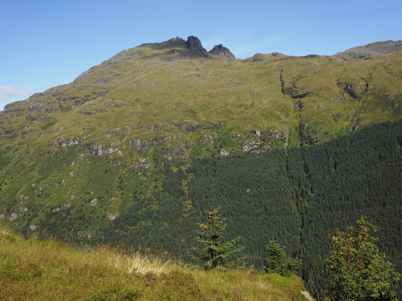
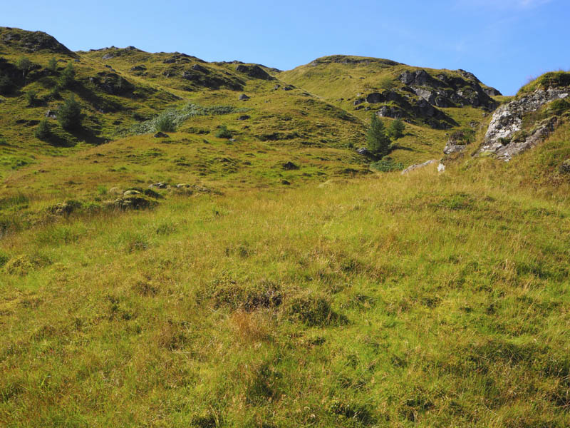
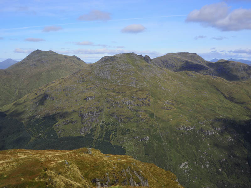
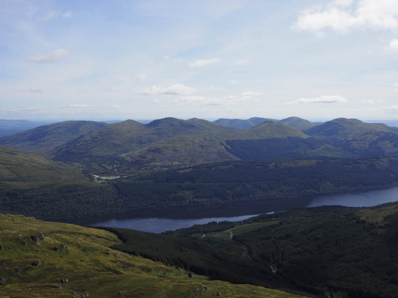
It was still a steep climb through long vegetation and rocky ground to reach Cruach Fhiarach’s summit cairn where there were good views in pleasant weather conditions.
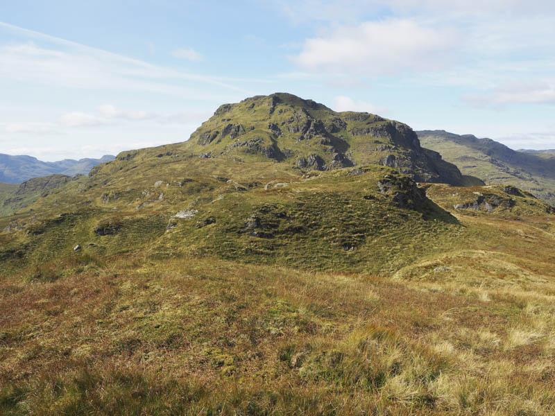
From this Graham Top I descended west working my way round some knolls to reach the east face of The Brack where I came across the path from Glen Croe. This path rose steeply through the rocky hillside emerging at the trig point.
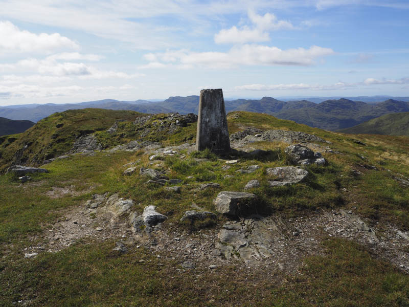
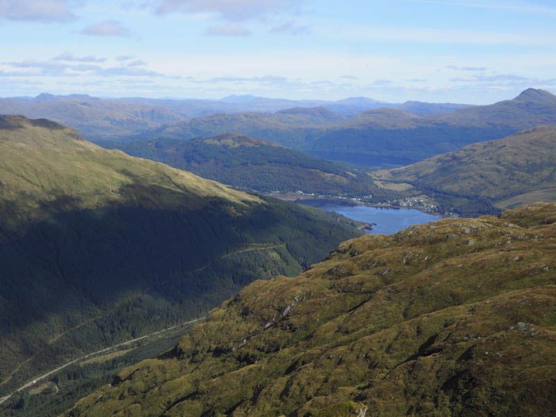
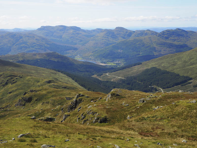
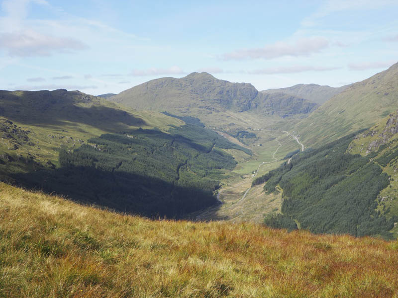
I remained at the summit for a while taking in the views then returned along the path towards the col with Cruach Fhiarach. I then followed this path as it descended north along the edge of a stream into Glen Croe. This section of path was wet and muddy then lower down it dropped steeply to the edge of the forest where a white painted post marked the route into the trees. Once over a rusty stock fence a rough path, again wet and muddy in places, descended through the trees but it was far superior to my earlier route in the forest. The final section of the path was much eroded but once over a large boulder I joined the vehicle track which headed east then south east above the Croe Water and back to the parking area.
- Time taken 5 hours.
- Distance 6.5 kilometres.
- Height climbed – 825 metres.