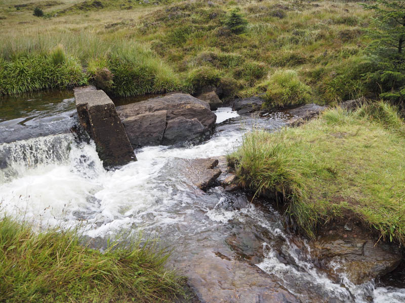
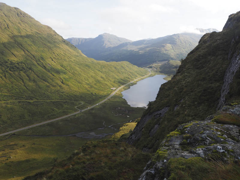
I parked in the lay-by on the west side of the A83 Arrochar to Inveraray Road just north of Loch Restil, went over a crash barrier and descended to the loch’s outflow crossing it immediately above the Easan Dubh Falls and below the old dam.
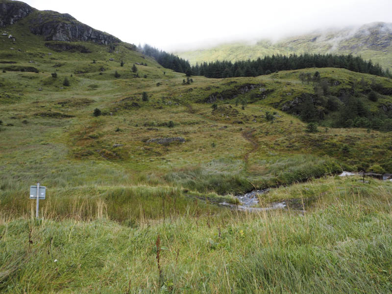
A wet and boggy path led through the grass and onto Beinn an Lochain’s North-East Ridge and into the cloud.
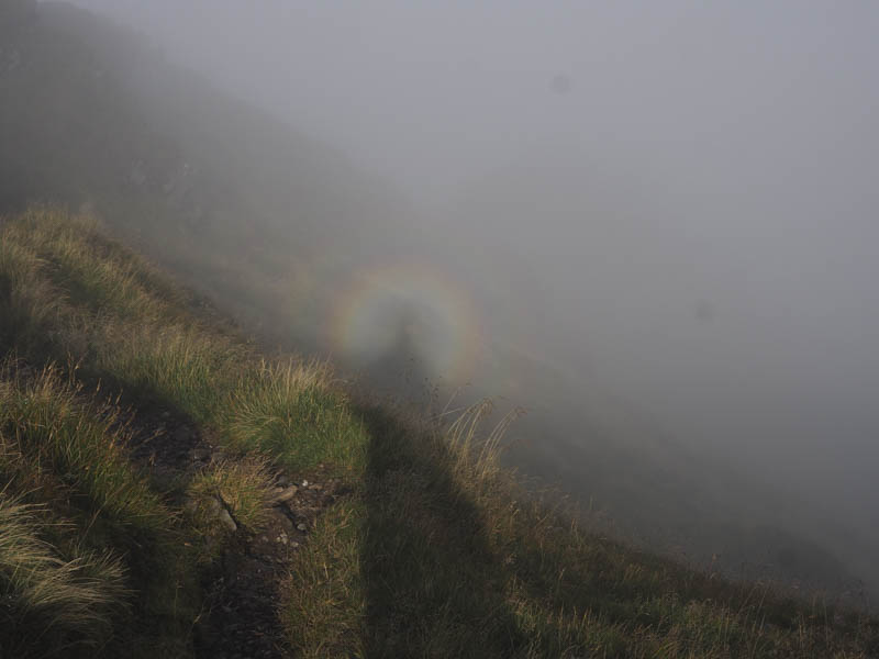
The route however was obvious as the path was eroded with a few areas of exposed rock some of which could be avoided. There were a few steep sections and as well as a dip in the ridge where I lost some height. Other than that there wasn’t a lot to say about the ascent as I couldn’t see anything which was disappointing on such a fine hill.
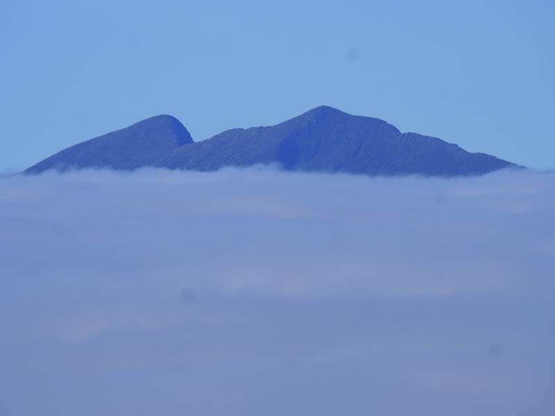
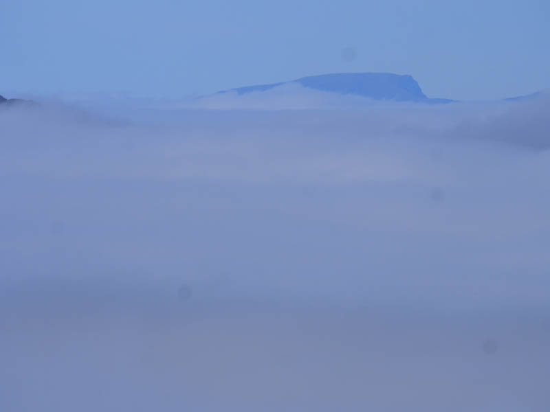
High up I met a couple of single walkers on their descent. They mentioned a cloud inversion but there was no sign of it until just before the highpoint on this Corbett. It wasn’t a total inversion as I only briefly saw the hills to the east and nothing to the south other than white cloud. Ben Cruachan, Beinn Bhuidhe and Ben Nevis were occasionally visible.
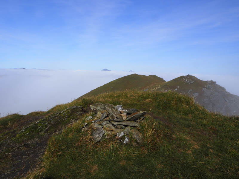
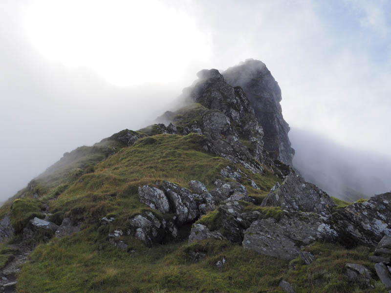
I spent some time on the summit of Beinn an Lochain taking photos and waiting for the cloud to lift but it didn’t until I had left the top to return by the upward route.
- Time taken – 4.5 hours.
- Distance 4.75 kilometres.
- Height climbed – 670 metres.