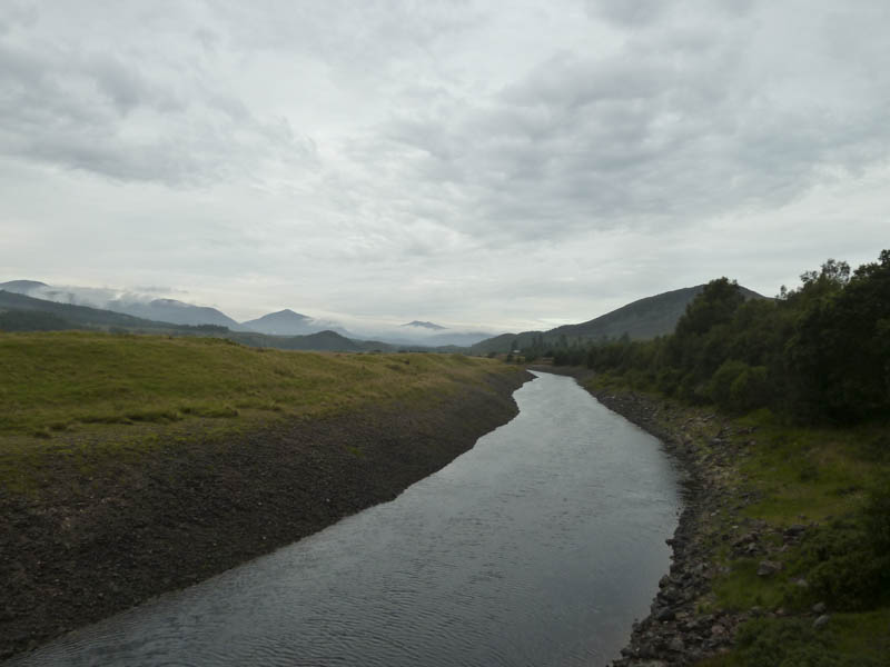
It was raining lightly as I pulled into the lay-by on the south side of the A86 Kingussie to Spean Bridge Road, east of Moy and the bridge over the River Spean. There were a few vehicles already parked there, some possibly overnight.
Once geared up in waterproofs I set off on my bike across the bridge and along the wide vehicle track towards the nearby house at Luiblea.

Prior to reaching this property I took a left and at a locked gate in the deer fence passed through the adjoining pedestrian gate. The rain had now ceased as the track passed a quarry and at the next junction I took a right and headed for Lochan na h-Earba.
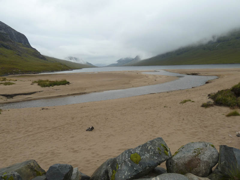
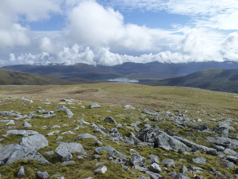
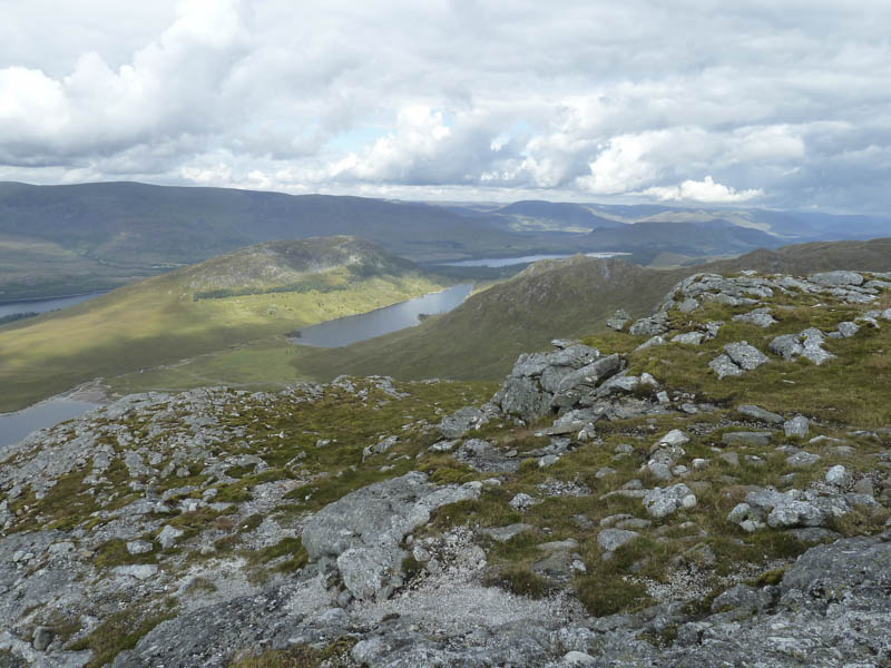
I continued along the south end of this loch and to the start of the vehicle track up the Allt Coire Pitridh where I left my bike.
Around forty minutes after setting out I commenced the walk up the track on the east side of this stream. A runner took a slightly alternative route and was headed uphill in front of me. At the main split in the stream I crossed the Allt Coire Pitridh then its tributary and left the path. The ground beyond was rough, wet and boggy as I walked to the foot of Beinn a’ Chlachair.
It was warm work and I was a bit overdressed for the now dry conditions so I removed my over-trousers at the start of the steeper section on the north-west ridge.
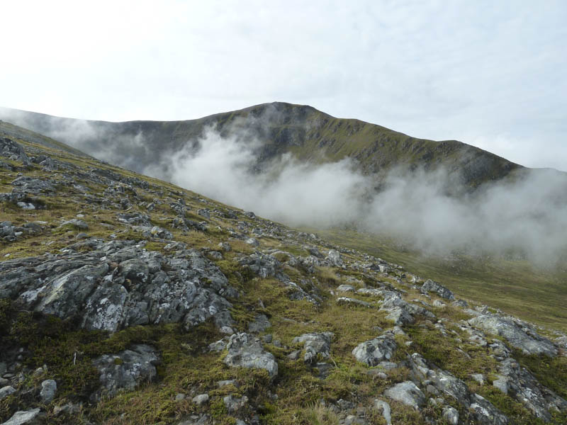
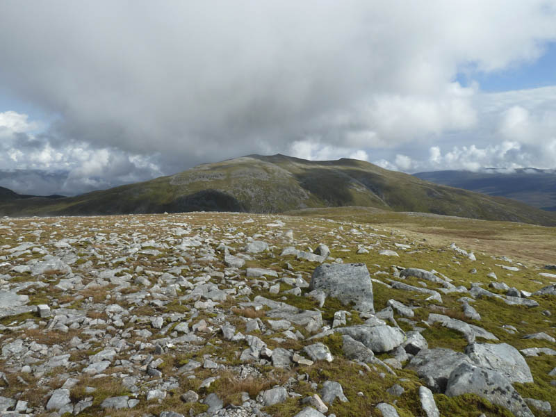
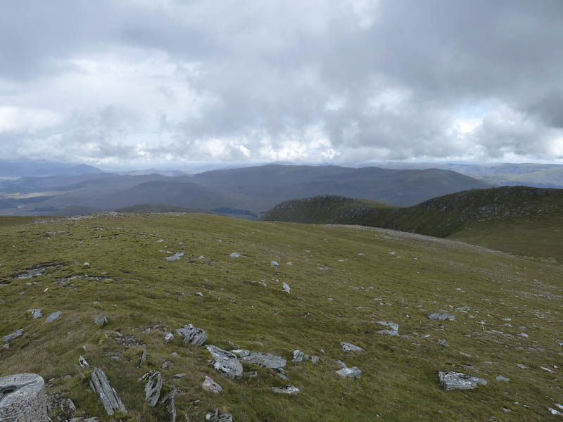
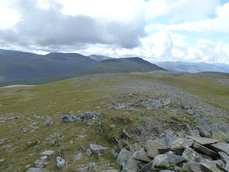
The gradient later eased with some rockier terrain as I worked my way round Coire Mor Chlachair as cloud formed and floated over Beinn a’ Chlachair. There were more rocks and boulders to contend with as well as some low cloud as I approached the summit of this Munro. At the cairn I stopped for something to eat and drink but didn’t linger long as the midges were out.
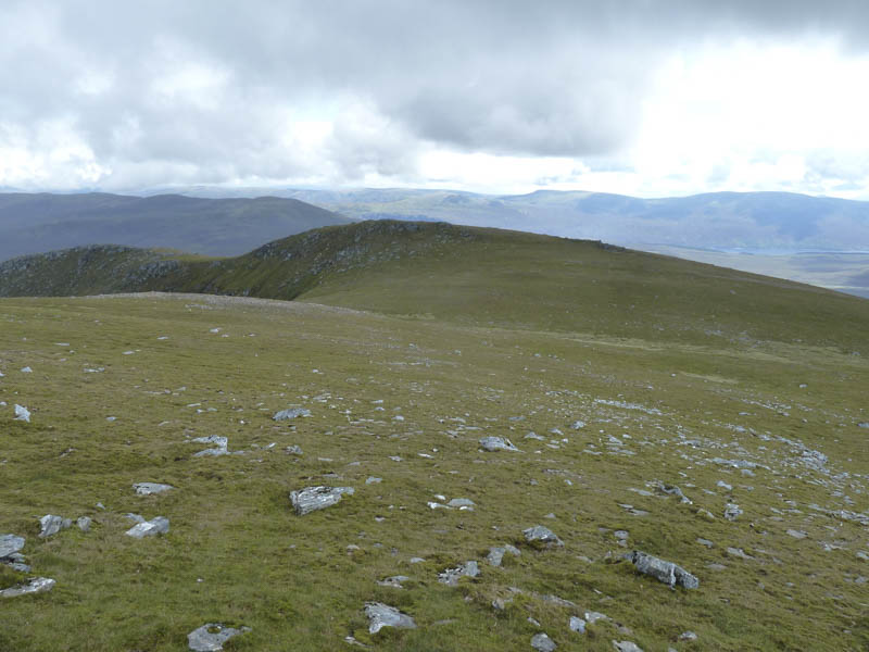
On leaving the summit I tried to avoid the boulders above Coire Mor Chlachair by keeping a bit further south before descending the north-east ridge where at times there were traces of a path. I then ascended Beinn a’ Chlachair’s East Top, a Sub Simm.
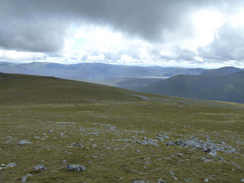
From there the initial descent north was fairly easy but the ground soon steepened and progress became quite slow as I worked my way through mixed terrain. The pace increased again once the ground levelled out a bit as I headed for Bealach Leamhain.
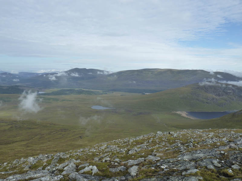
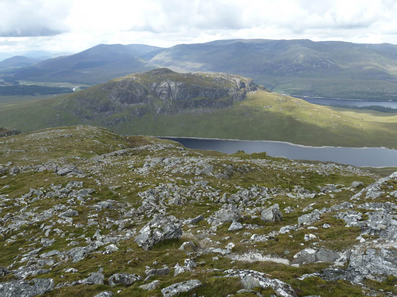
At a junction of paths I headed north on the rather wet and in places muddy path that ran between the Munros, Creag Pitridh and Geal Charn. I later left this path and headed north-east over rough vegetation and in places rocky ground before working my way round the south side of Geal Charn and climbing to its large summit cairn and trig point. There was a light breeze here so I sat on the top of the cairn to avoid the midges and ate my lunch.
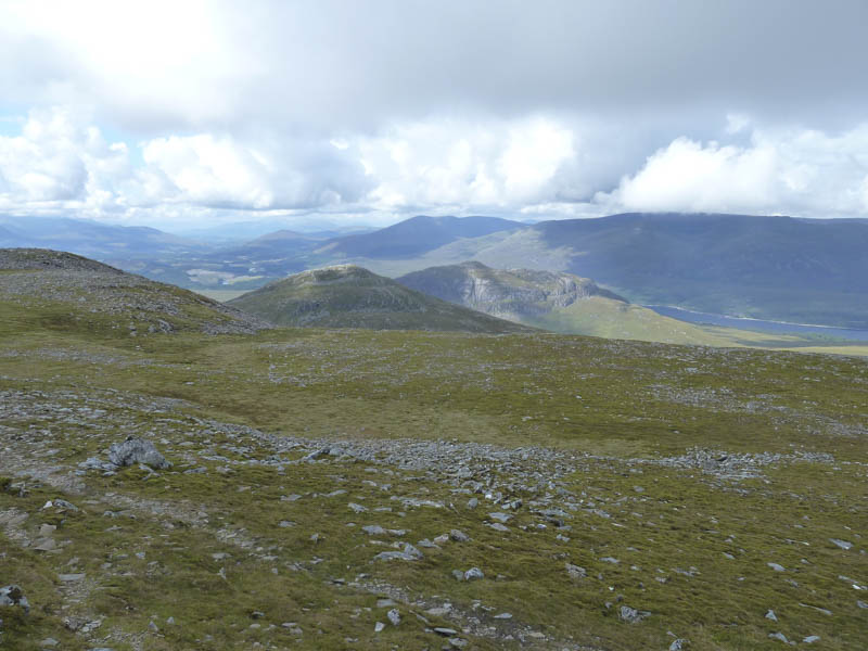
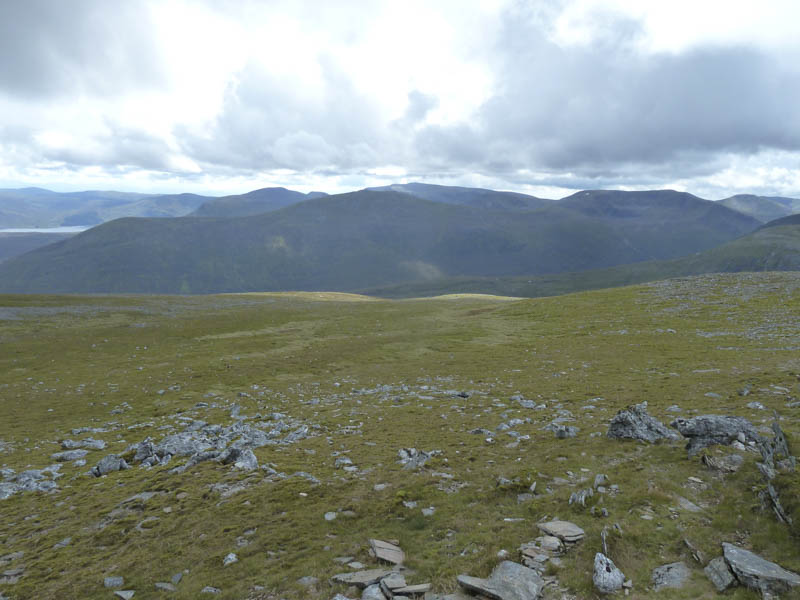
I then walked out to Sron Garbh, an ex-Munro Top and Sub Simm, before returning round the south side of Geal Charn and descending to the col with Creag Pitridh. From here a walker’s path took me to the foot of this Munro then an eroded path led to the summit marked by a cairn.
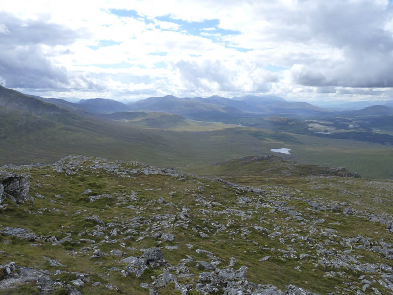
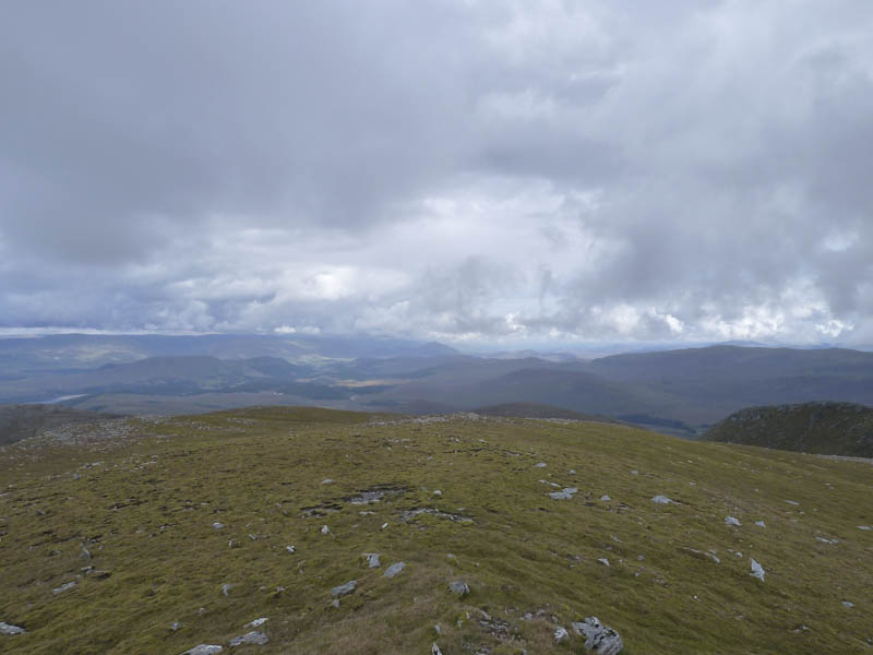
The descent west on a path took me through more rocky ground but lower down I lost the line of the path as I walked through some long wet vegetation and boggy ground. Just before rejoining the track on the north side of the Allt Coire Pitridh I spotted a couple of mountain bikers heading downhill on the track. On reaching it I returned to my bike, collected it and made the easy cycle back to my car in around 25 minutes.
- Time taken – 7.5 hours.
- Distance – 27.75 kilometres.
- Height climbed – 1350 metres.