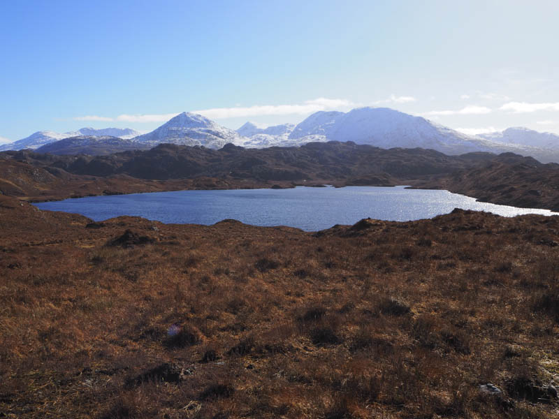
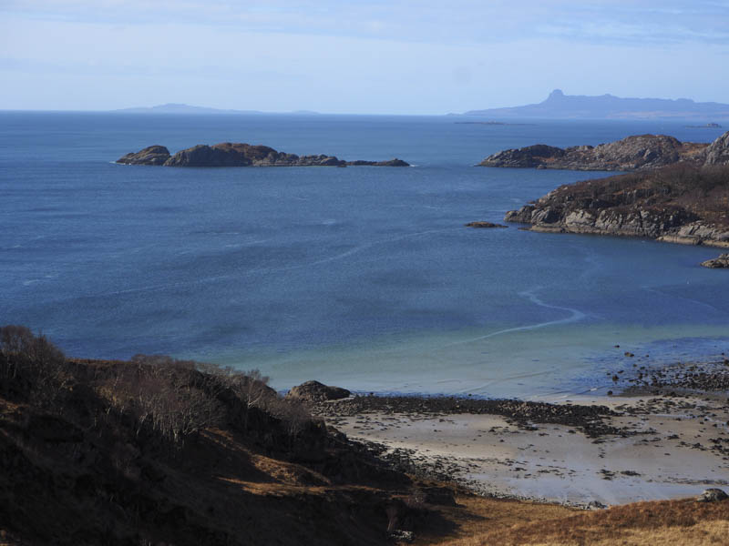
The plan was to climb the Tump, Cruach Peanmeanach, located at the south end of the Ardnish Peninsula, south-east of Arisaig. The start of the walk was the large lay-by on the west side of the A830 south of Polnish. Here a signed path went round the top of a quarry then descended through a quagmire to the bridge over the West Highland Railway Line. A sleeper then aided the crossing of the outflow from Loch Dubh before more wet ground was encountered. A short uphill section followed before descending to the crossing of the stream flowing out of Loch Camas an Raoigh.
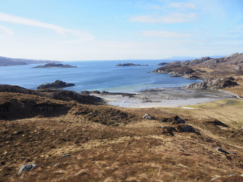
It was then a steady climb on this rough path before the gradient eased. The path passed below Cruach an Fhearainn Duibh and descended to the north-west of Loch Doir a’ Ghearrain then went through some trees.
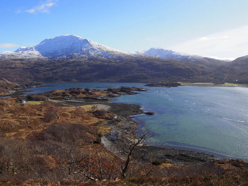
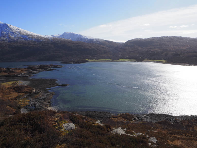
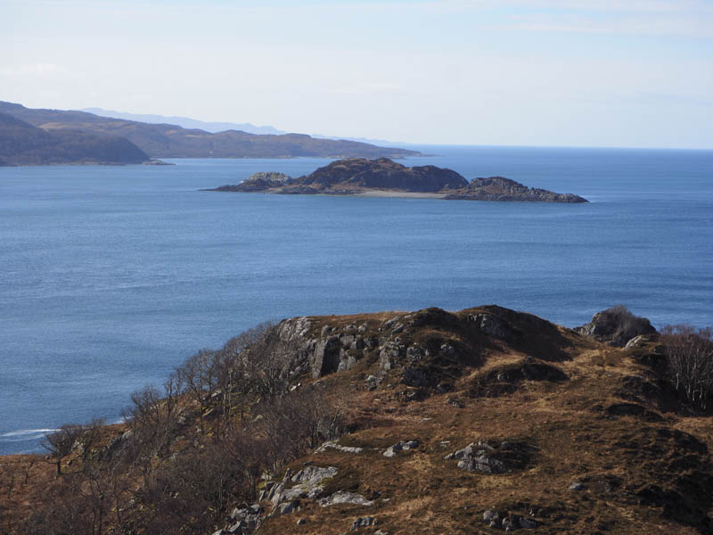
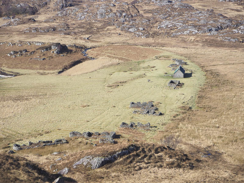
A flat wet area of long grass led to the ruins at Peanmeanach where the path came to an end. A couple were staying in the bothy there. It was a short walk to the foot of Cruach Peanmeanach and an easy enough climb to the summit where some grand views were had.
After an extended break at the summit the return was by the approach route.
- Time taken – 5.75 hours.
- Distance 11 kilometres.
- Height climbed 460 metres.