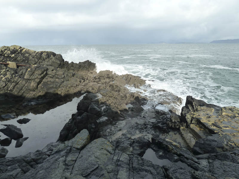
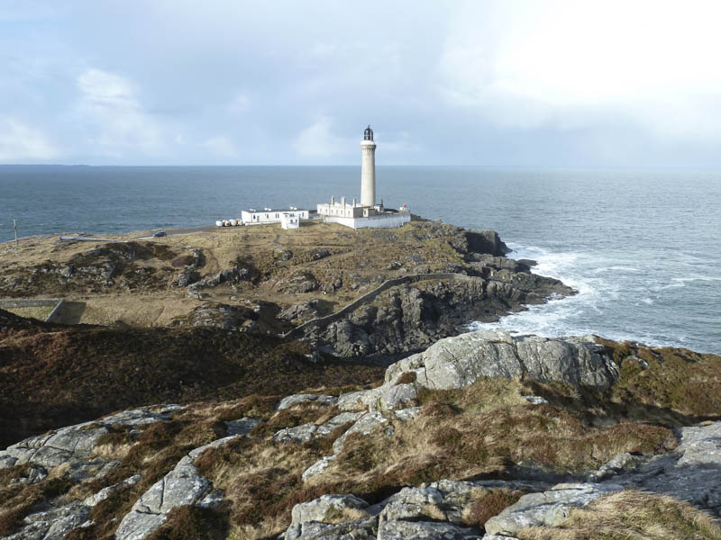
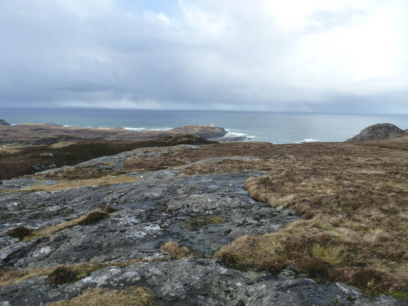
Ardnamurchan Point: I was staying in Kilchoan, on the Ardnamurchan Peninsula, so drove north-west along the single track B8007 road, then west on the minor road to the empty car park beside the Ardnamurchan Lighthouse, the exhibition and tower being closed during the winter months. After visiting the area below the Lighthouse I walked round it, then along the access road to a small gate in a deer fence.
![Most westerly point mainland Britain](https://scotlandhills.net/wp-content/uploads/2021/03/01-Most-westerly-point-mainland-Britain.jpg)
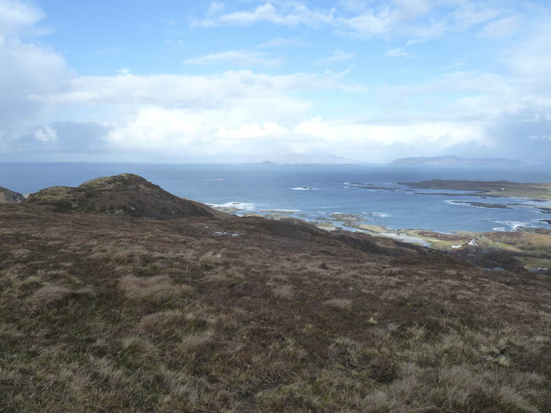
From there I ascended the Tump, Ardnamurchan Point, where I had views of the Lighthouse and out over the Atlantic Ocean. I then returned to car park by the ascent route.
![Ardnamurchan Lighthouse](https://scotlandhills.net/wp-content/uploads/2021/03/02-Ardnamurchan-Lighthouse.jpg)
![Eilean Carrach](https://scotlandhills.net/wp-content/uploads/2021/03/03-Eilean-Carrach.jpg)
![Briaghlann](https://scotlandhills.net/wp-content/uploads/2021/03/04-Briaghlann.jpg)
Beinn Bhuidhe: After visiting Ardnamurchan Point I returned to the B8007 road then drove north on another minor road towards Portuairk. I left my vehicle on the grass verge on west side of the road north of the hamlet of Achosnich. I then walked through a dilapidated gate, crossed a couple of fields then a barbed wire fence.
![Route to Beinn Bhuidhe](https://scotlandhills.net/wp-content/uploads/2021/03/05-Route-to-Beinn-Bhuidhe.jpg)
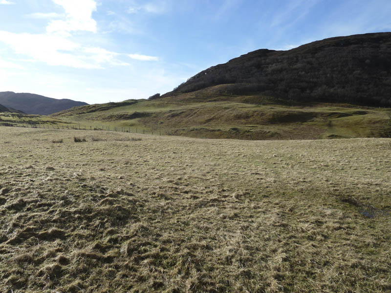
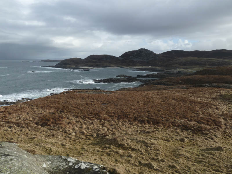
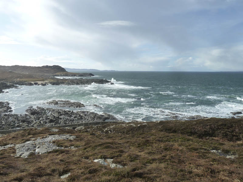
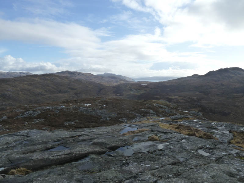
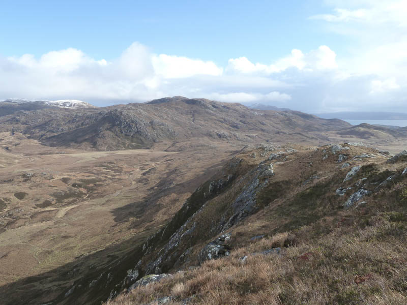
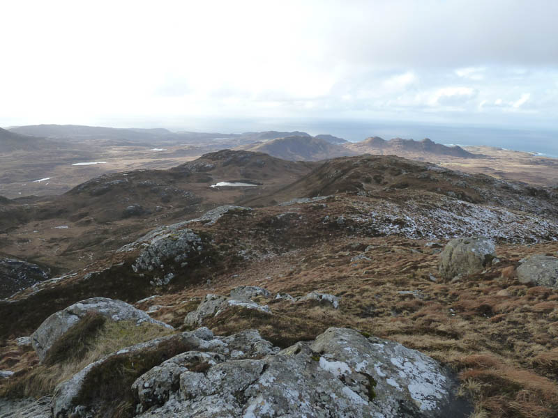
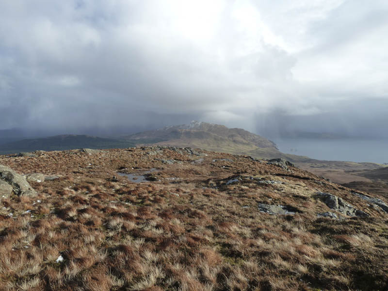
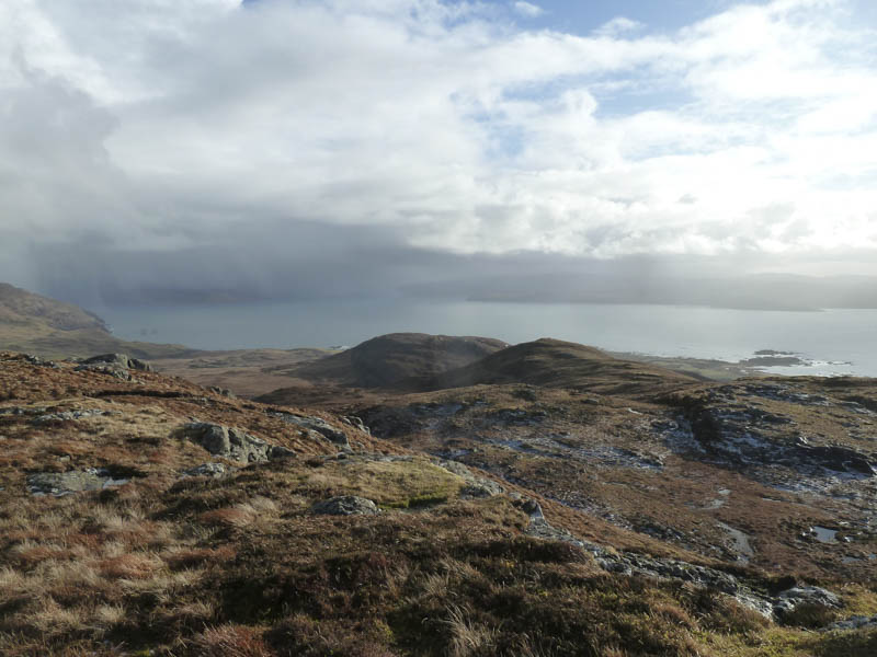
Beyond this fence I climbed along the edge of the trees mainly following a cow trail and ascended Beinn Bhuidhe, the summit of this Hump marked by a cairn on top of some rock. There were views of Ardnamurchan Lighthouse and the Atlantic Ocean beyond.
![Sanna Bay and the hamlet of Sanna](https://scotlandhills.net/wp-content/uploads/2021/03/06-Sanna-Bay-and-the-hamlet-of-Sanna.jpg)
![Beinn na h-Imeilte](https://scotlandhills.net/wp-content/uploads/2021/03/07-Beinn-na-h-Imeilte.jpg)
![Sgurr nam Meann and Sanna Bay](https://scotlandhills.net/wp-content/uploads/2021/03/08-Sgurr-nam-Meann-and-Sanna-Bay.jpg)
![Ardnamurchan Lighthouse](https://scotlandhills.net/wp-content/uploads/2021/03/09-Ardnamurchan-Lighthouse.jpg)
![Ben Hiant in the distance](https://scotlandhills.net/wp-content/uploads/2021/03/10-Ben-Hiant-in-the-distance.jpg)
The return was by the upward route reaching the car as a shower of rain passed through the area.
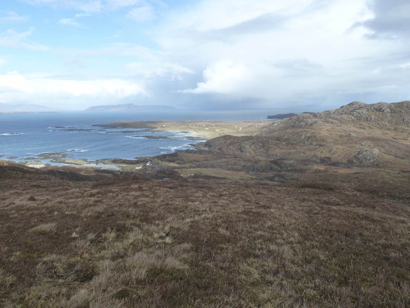
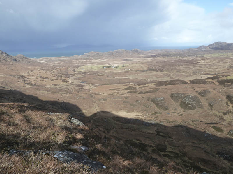
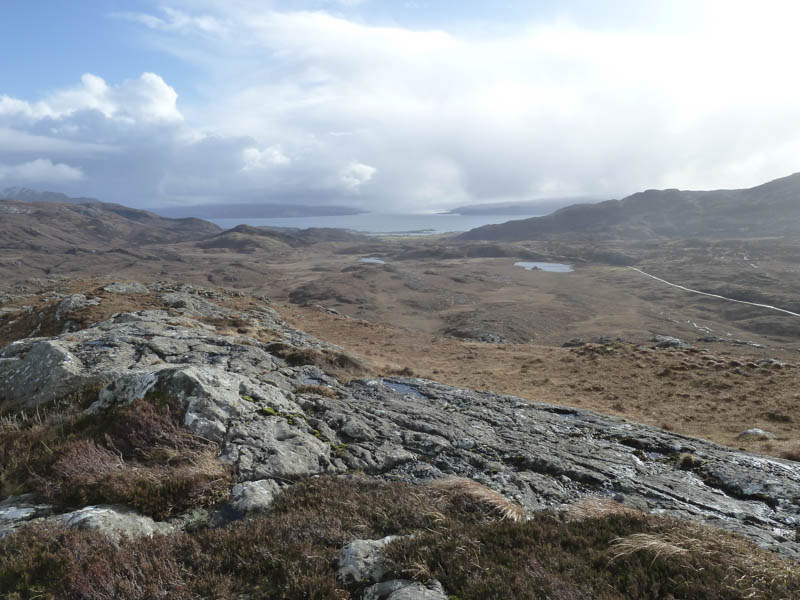
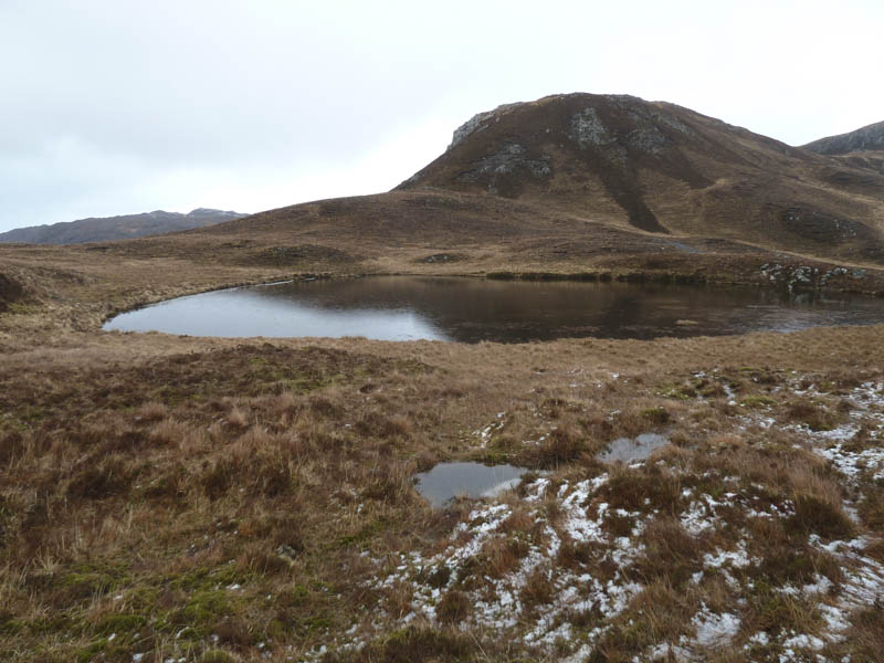
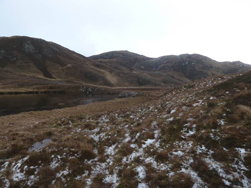
Beinn na h-Imeilte: I drove back to the B8007and left my car off road at a wide passing place midway between the Sonachan Hotel and the highpoint on the road back to Kilchoan. From there I descended through some wet grass then crossed a small burn to access the foot of a gully.
![Ascent route](https://scotlandhills.net/wp-content/uploads/2021/03/11-Ascent-route-1.jpg)
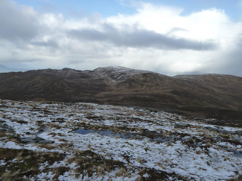
I climbed this gully then a second one to reach an animal trail which led towards the summit of Beinn na h-Imeilte. The final section across some rock led to the cairn marking the highest point of this Hump.
![Achnaha](https://scotlandhills.net/wp-content/uploads/2021/03/12-Achnaha.jpg)
![Meall an Tarmachain and snow topped Meall nan Con](https://scotlandhills.net/wp-content/uploads/2021/03/13-Meall-an-Tarmachain-and-snow-topped-Meall-nan-Con.jpg)
![Kilchoan Bay and the Sound of Mull](https://scotlandhills.net/wp-content/uploads/2021/03/14-Kilchoan-Bay-and-the-Sound-of-Mull.jpg)
![Achosnich and Beinn Bhuidhe](https://scotlandhills.net/wp-content/uploads/2021/03/15-Achosnich-and-Beinn-Bhuidhe.jpg)
![Meall Sanna](https://scotlandhills.net/wp-content/uploads/2021/03/16-Meall-Sanna.jpg)
The return was by the ascent route.
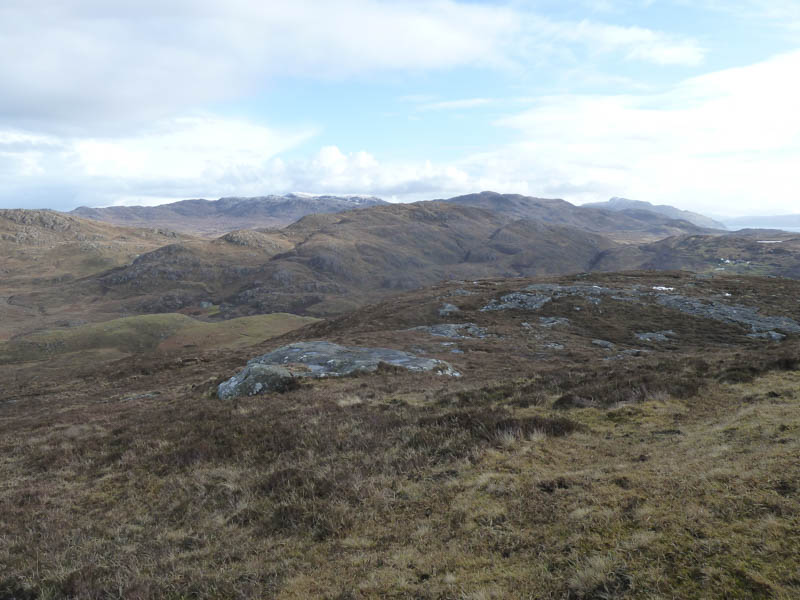
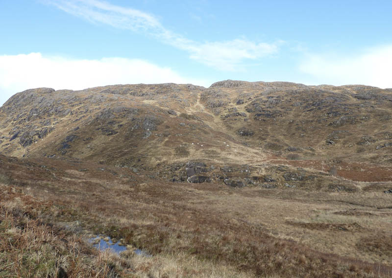
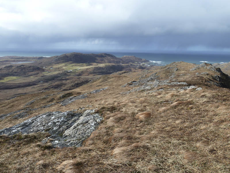
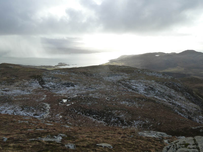
Meall an Tarmachain: This Hump was located north of Kilchoan on the Ardnamurchan Peninsula but it appeared best approached from the minor road to the west which led to the hamlet of Sanna. I parked off road at grid reference NM472/657 and from there passed through a stock gate, crossed a small stream and followed sheep trails. As the gradient increased I walked round some trees keeping to the north of a small burn and gully.
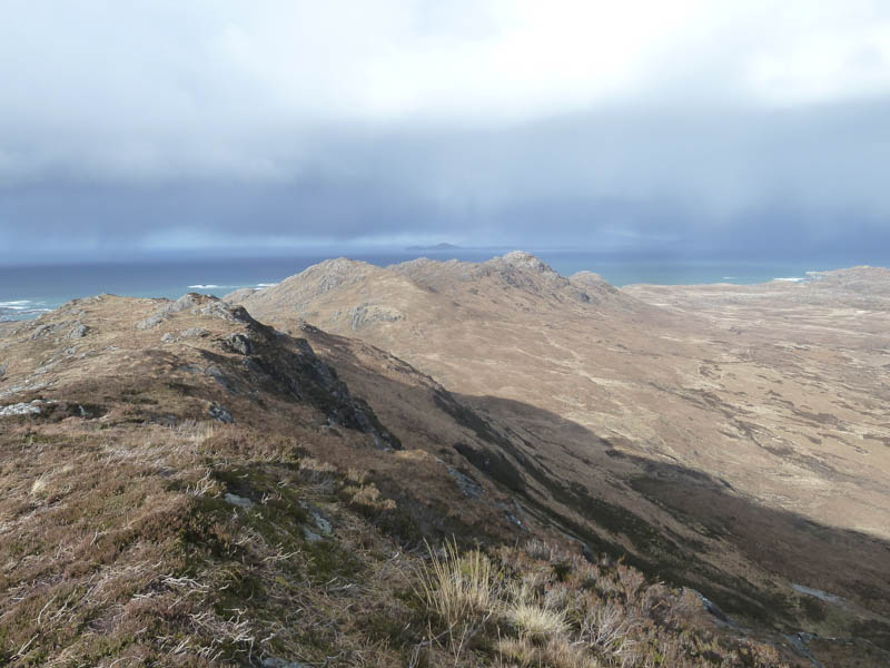
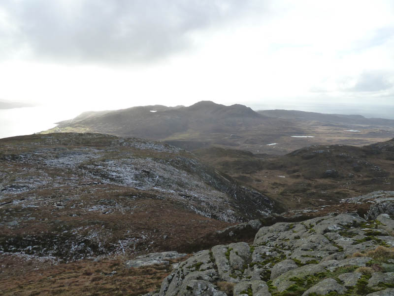
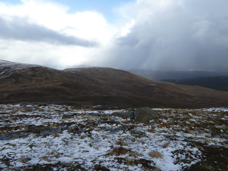
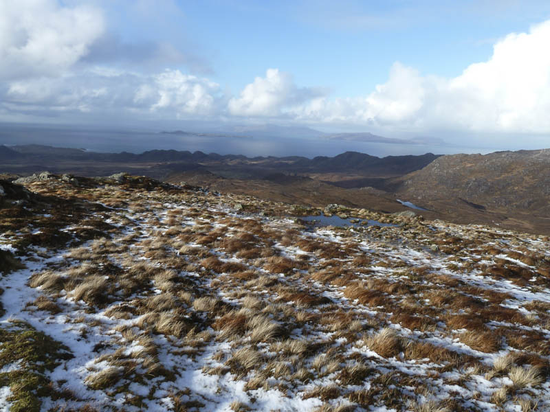
I then climbed a second gully which led to Lochan a’ Choire Chruinn then to above Coire Cruinn and onto the west ridge of Meall an Tarmachain avoiding the cliffs and boulder field.
![Lochan a' Choire Chruinn](https://scotlandhills.net/wp-content/uploads/2021/03/17-Lochan-a-Choire-Chruinn.jpg)
![Meall an Tarmachain](https://scotlandhills.net/wp-content/uploads/2021/03/18-Meall-an-Tarmachain.jpg)
The summit area consisted of a cairn and a few rocky outcrops which may have been higher so visited them all.
![Kilchoan Bay](https://scotlandhills.net/wp-content/uploads/2021/03/19-Kilchoan-Bay.jpg)
![Beinn na Seilg](https://scotlandhills.net/wp-content/uploads/2021/03/20-Beinn-na-Seilg.jpg)
![Beinn na h-Imeilte. Ardnamurchan Point beyond](https://scotlandhills.net/wp-content/uploads/2021/03/21-Beinn-na-h-Imeilte.-Ardnamurchan-Point-beyond.jpg)
![Meall nan Con](https://scotlandhills.net/wp-content/uploads/2021/03/22-Meall-nan-Con.jpg)
![Beinn an Leathaid](https://scotlandhills.net/wp-content/uploads/2021/03/23-Beinn-an-Leathaid.jpg)
![Isles of Muck, Rum and Eigg](https://scotlandhills.net/wp-content/uploads/2021/03/24-Isles-of-Muck-Rum-and-Eigg.jpg)
![Ben Hiant](https://scotlandhills.net/wp-content/uploads/2021/03/25-Ben-Hiant.jpg)
![Sound of Mull](https://scotlandhills.net/wp-content/uploads/2021/03/26-Sound-of-Mull.jpg)
The return was by the ascent route.
- Total time – 5 hours.
- Total distance – 10.5 kilometres.
- Total height climbed – 730 metres.