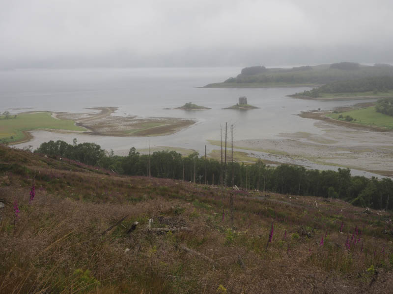
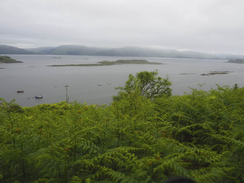
Airds Hill and Airds Hill South-East Top – I drove south on the A828 from Ballacluish to immediately before the Strath of Appin then west along the single track road towards Port Appin parking at the start of the vehicle track at NM931463. I then walked up this track as it started to drizzle.
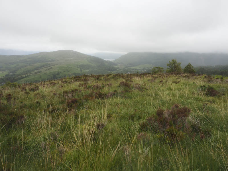
On reaching a narrower track I followed it through the wood which had been harvested and the area replanted with young saplings. The vegetation here was long and wet and when the path disappeared there was also brash to contend with. The summit of the Marilyn, Airds Hill, was reached but visibility was limited due to the low cloud.
My next hill was Airds Hill South-East Top which I didn’t have a route plan for nor had I come across a path or track heading in that direction. I briefly returned by my approach route for Airds Hill then continued through the brash but it was tough and slow going. I therefore headed to and crossed the deer fence then it was through wet bracken with a steep descent to a boggy area. A stock fence topped with barbed wire was crossed before heading to the summit of this Tump, marked by a small cairn.
The descent north was through very rough ground with long vegetation, bog myrtle and young trees as well as re-crossing the stock fence. Lower down I walked through a birch woodland to reach the vehicle track from where I had set off earlier that morning. These two hills had taken me a lot longer than expected.
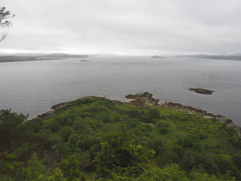
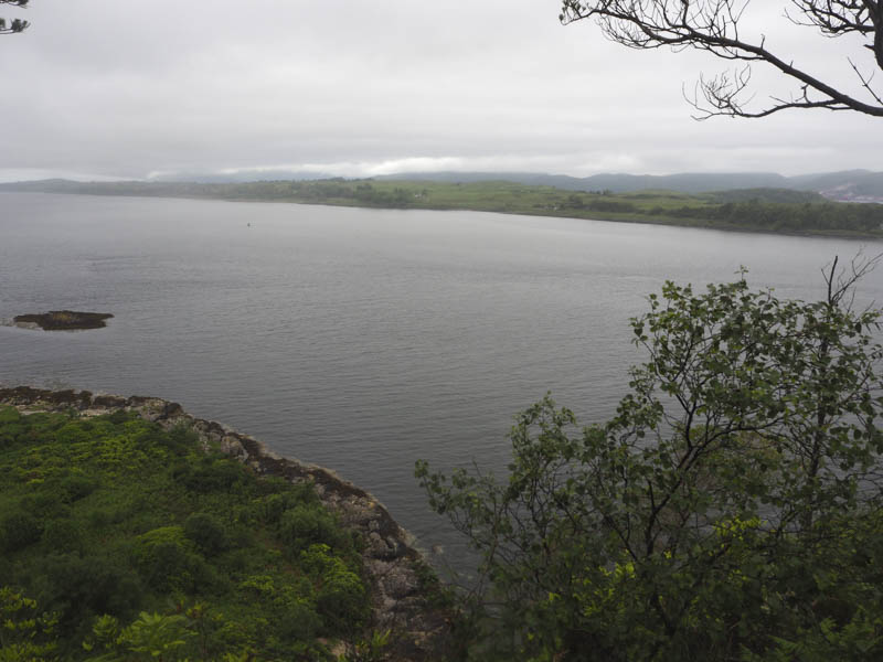
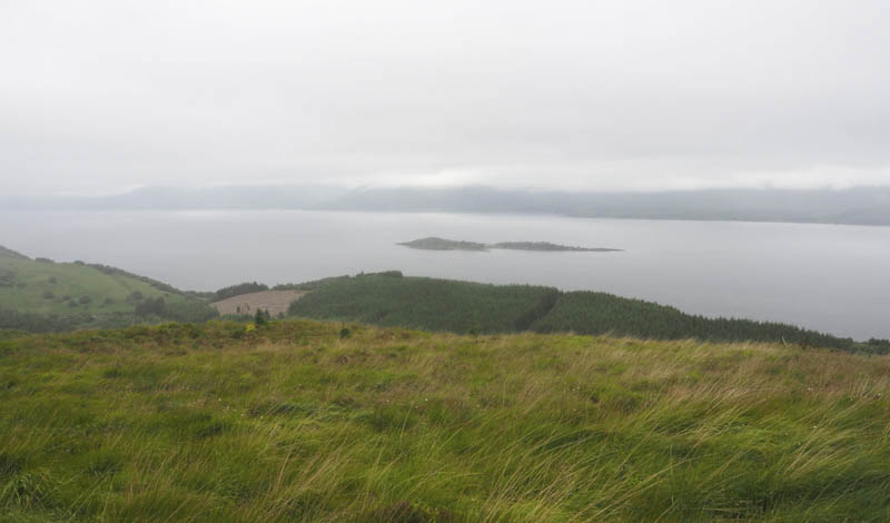
Torr Appin – I drove to Port Appin and parked opposite the village hall. From there I walked briefly south-east along a minor road and onto a path that ran below the south-east side of Torr Appin. A couple walking a dog stepped off the path to let me passed and I continued south-west looking for a route onto the hill. However cliffs prevented this so I returned along the path and at the point where I met the dog walkers I spotted a path through the long vegetation.
It led onto the tree covered north-east ridge and after a slight dip it was onto the summit, the highpoint of this Tump was amongst some rhododendrons. The path continued beyond the summit so I followed it until it came to an abrupt end above the cliffs. I thereafter returned along the path back to my car.
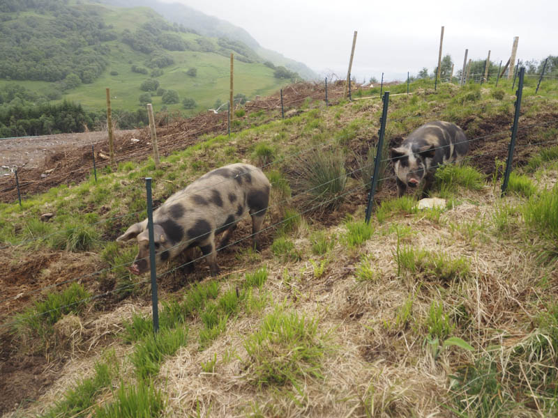
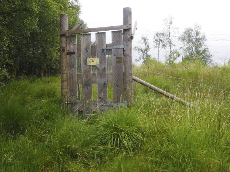
Beinn Keil and Beinn Achara – On the drive back north on the A828 I stopped off at the Highland Titles Nature Reserve located on the east side of the road, south of the hamlet of Duror. I left my vehicle in their car park and walked south-east then north-east along tarred roads within the Reserve where trees had been harvested and others had been toppled during the winter storms. On reaching a vehicle track I climbed Beinn Keil, passing an enclosure containing a couple of wild pigs, although they didn’t appear that way but the sign said they were, and a chap working at some bee hives. I was concerned I might get stung as the bees were flying around the hive and track but fortunately I wasn’t attacked. The highest point of this Tump was within an unlocked enclosure containing Pine Martins although I didn’t see any.
I continued along the vehicle track which descended to and rejoined the tarred road further north-east from where I had left it. I walked south-west passed lochans looking for a route onto Beinn Achara then along the edge of the west most lochan with no sign of a path onto this hill. I therefore headed through a few trees, across rough vegetation and climbed onto the south-west ridge where I had spotted a wooden bench. A path then led to the grassy summit of this Tump.
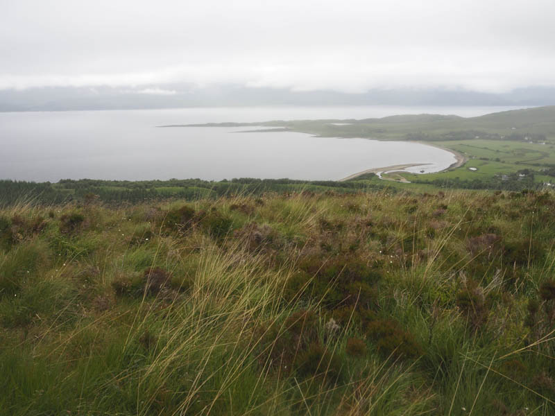
I returned to the bench and from there followed the path south into and through the trees before the path turned south-west to reach the tarred road not far from where I had left it to climb Beinn Keil.
- Total time taken – 4.25 hours.
- Total distance – 10.25 kilometres.
- Total height climbed – 605 metres.