I parked in the lay-by on the south side of the A86 Newtonmore to Spean Bridge Road just east of the bridge over the River Spean at Luiblea. Once organised I cycled across the bridge then along the vehicle track to the north of the houses and passed the quarry which was back in operation extracting stone etc, probably for the numerous hydro dams under construction within Corrour Estate.
At the next track junction I took a right and continued towards the Allt Meall Arduighe Reservoir. Just before reaching it I took another right then it was a fairly easy cycle to the ruin at Lubvan.
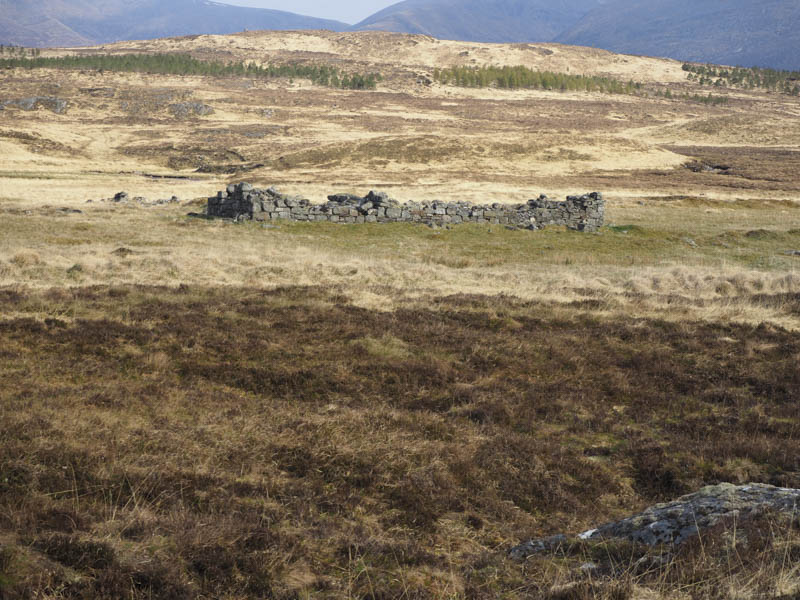
Here I left my bike and continued on foot along the path on the east side of the Allt Cam. Competent cyclists might go a bit further but in wet conditions the path would be boggy in places. However after the recent fine weather the route was relatively dry. Some improvements had been made to the path but that appeared to have halted.
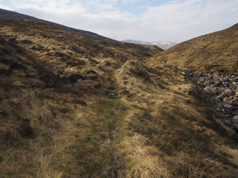
I then crossed the Allt Cam near where it changed direction and continued along a less obvious path through the heather to the west of the rocks on Meall Nathrach gaining a bit of height.
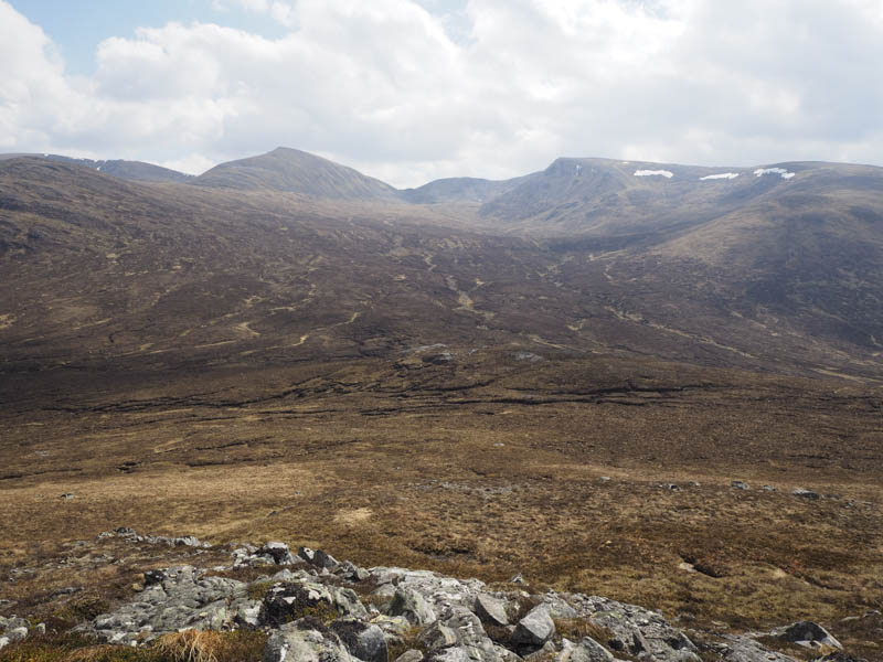
The path gradually disappeared so I stayed to the west of Meall Nathrach then gained Aonach Beag’s North Ridge.
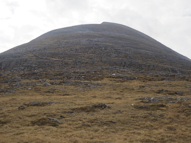
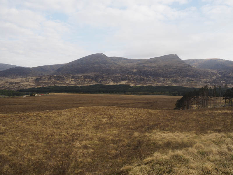
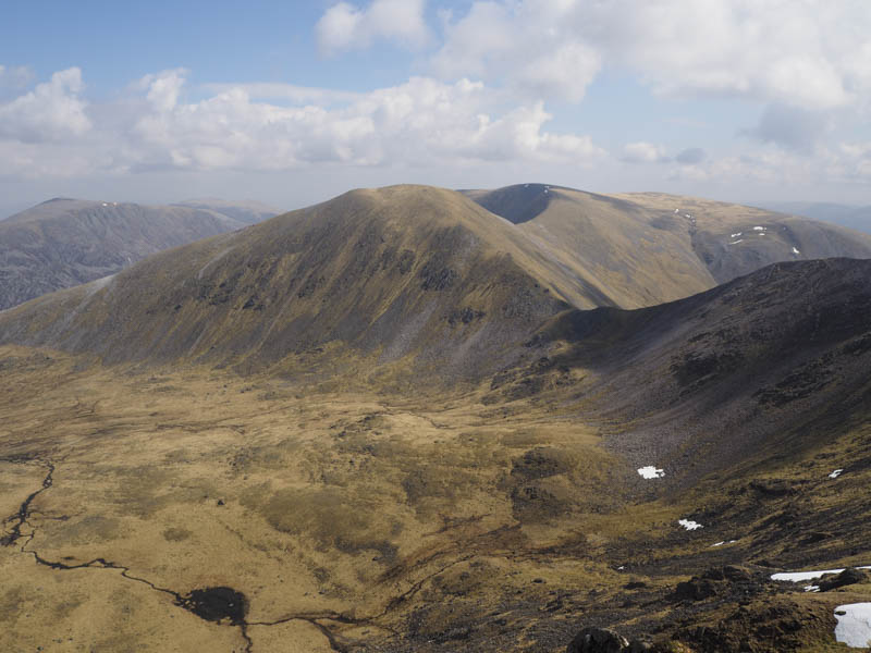
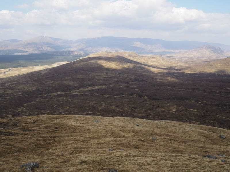
Here there was some easy walking on a gentle gradient until higher up when the approach route became steeper and rocky although the majority of the stony ground could be avoided. The cairn marking the summit of this Munro was reached with hazy views of the distant hills.
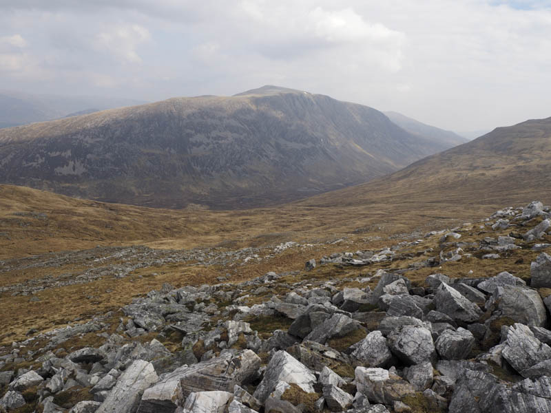
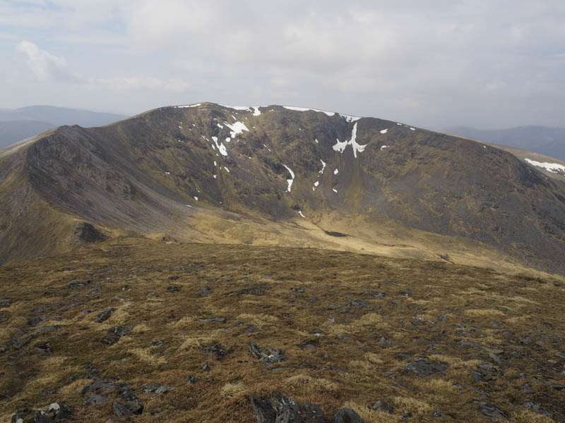
Following a path I descended south-west to the col with Beinn Eibhinn where a large backpack had been left but I hadn’t spotted anyone on the hills. On the ascent of this second Munro I met a chap who had been staying at Loch Ossian Youth Hostel then we were joined by the backpacker. I left them to continue their descent while I headed for the summit of Beinn Eibhinn where the first cairn I reached was apparently the highest point.
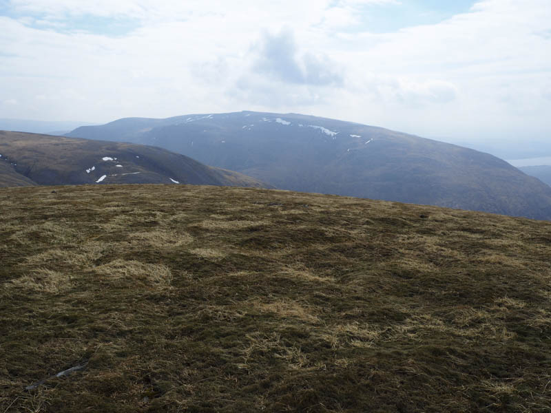
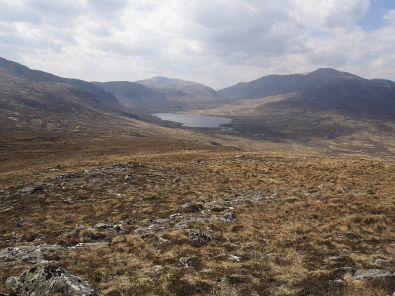
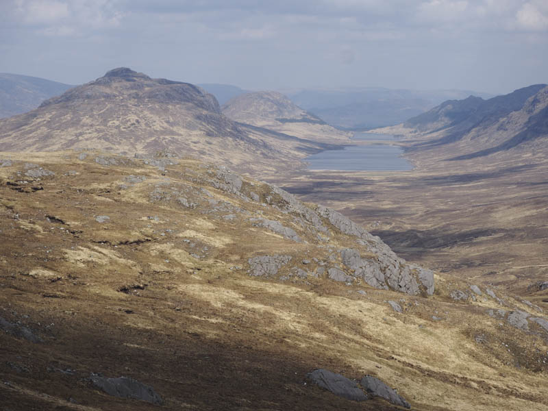
My route off the hill took me west then north down Sron an Fhuarain later crossing the Allt Gualainn a’ Charra Mhoir to reach the col with Meall Cos Charnan where the ground was a bit boggy.
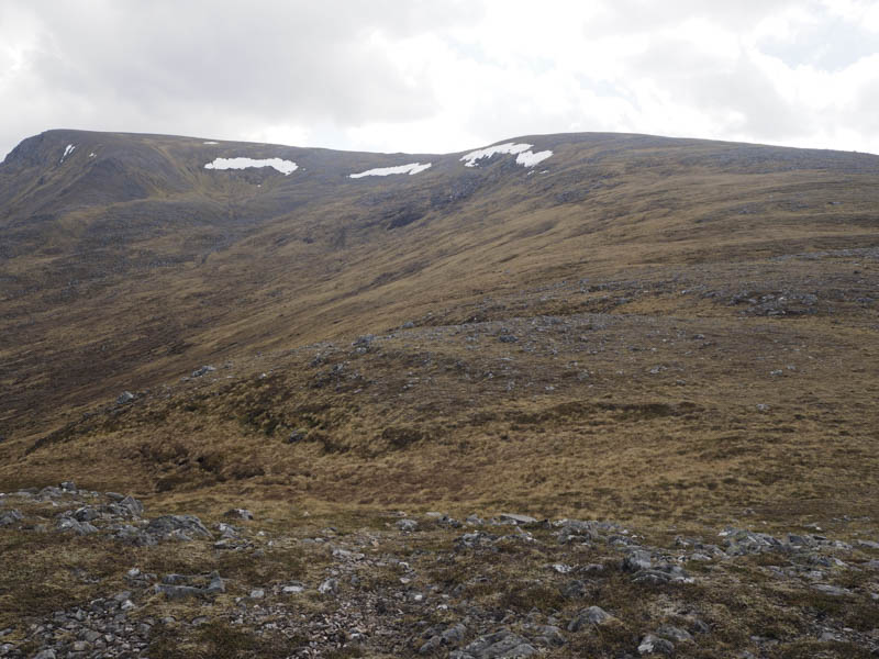
I then climbed north crossing several knolls to reach the summit of this Graham Top.
From there it was down a fairly wide gully to the ruin at Lubvan where I collected my bike and cycled back to the start.
- Time taken – 7.25 hours.
- Distance – 27.25 kilometres.
- Height climbed – 1205 metres.