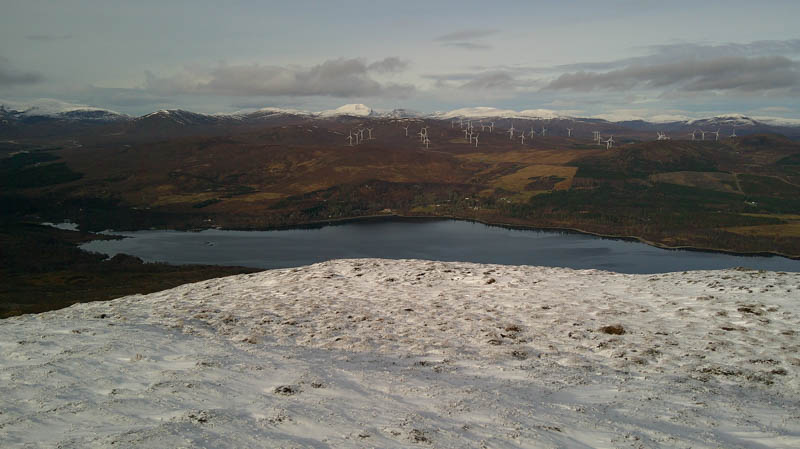
Parked at the end of the public road leading to Loch Luichart Dam, (NH38945747) accessed from the A835 immediately north of Contin. (alternative route from Strathconon) There was space for three or four cars although on weekdays (this was a Saturday) it is permitted to park nearer the dam although the gate is locked at 5pm.
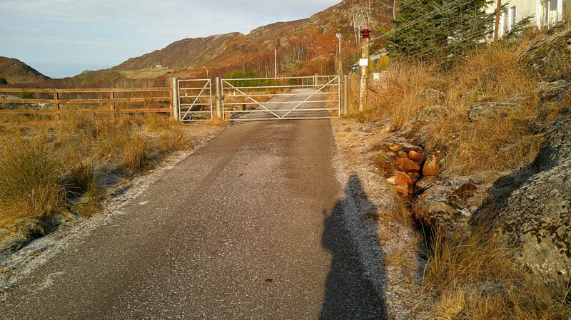
Passed through the pedestrian gate, the main gate was padlocked, then walked the 500 metres or so up the tarred road to the dam.
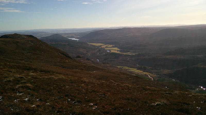
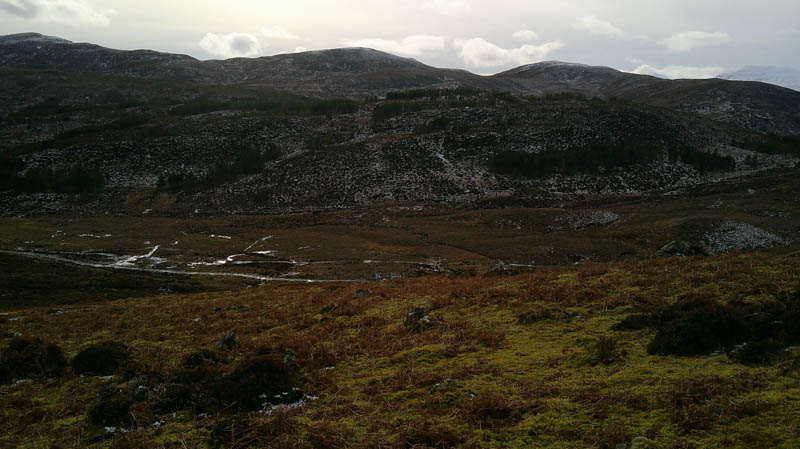
Once across it came to a vehicle track, not shown on the map, and to another set of gates. Beyond was a fairly steep climb through the trees, before the gradient eased to reach a third set of gates. After a short stroll west came to the estate track coming up from near Little Scatwell in Strathconon.
The track passed through Glenmarskie Farm and continued west through more gates and into a young plantation. Here I met the farmer’s wife and daughter out walking their dogs on this fine frosty morning.
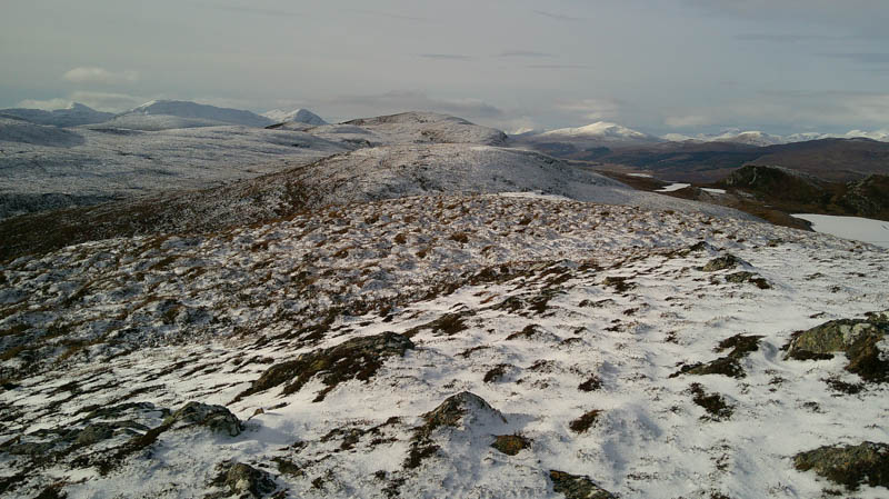
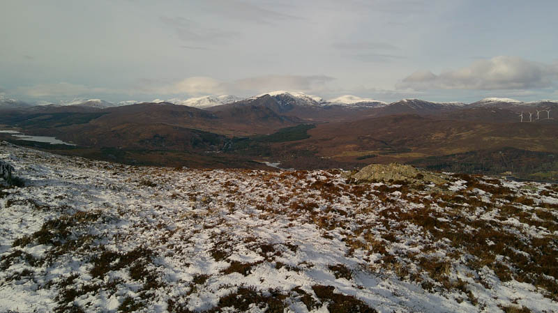
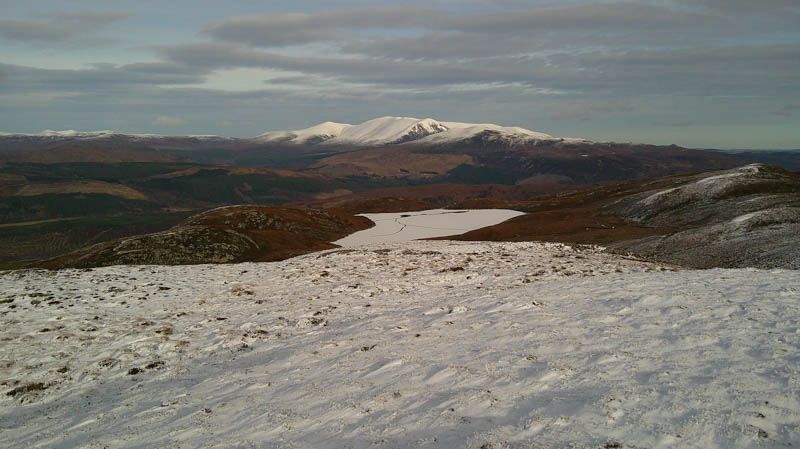
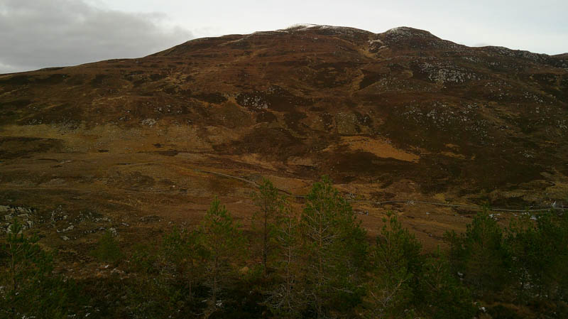
At NH37175820 came to a set of gates which gave access to the open hillside. On heading north there were initially some deer tracks to follow before the gradient increased considerably. In addition to heather and dead bracken there were lots of boulders and crags, some wet or icy. It was a challenge finding a suitable route through the crags but higher up they were drier with a dusting of snow covering the vegetation. Eventually reached the summit of the Sub Dodd, Sgurr Marcasaidh East Top, although difficult to tell which clump of vegetation was the highest.
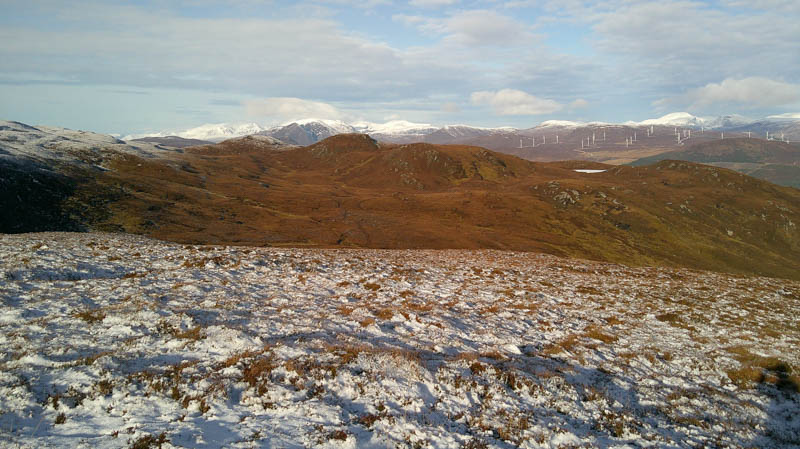
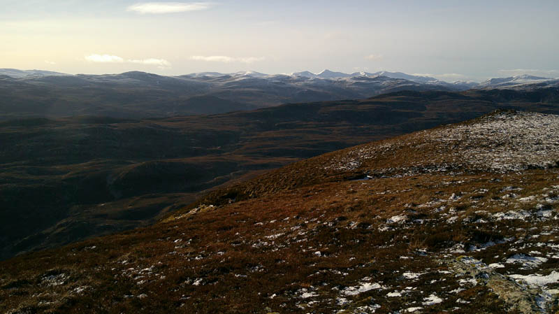
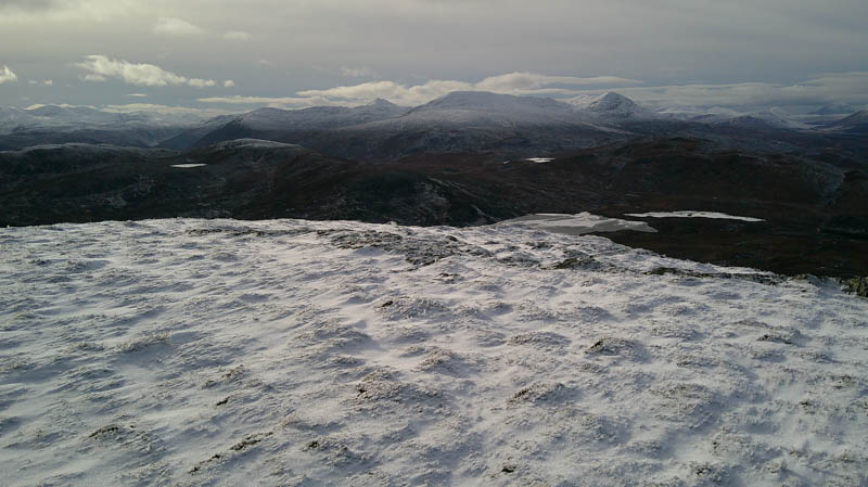
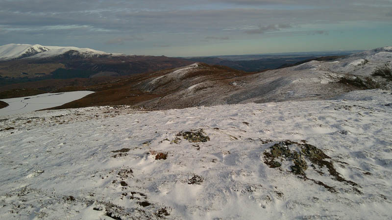
Initially headed west onto the lower slopes of Sgurr Marcasaidh, (climbed back in 2010) a bit more snow here, before walking north-west below this Marilyn, through snow covered heather, a few boulders and a couple of small gullies, and later out of the lying snow. Climbed north onto the summit of the Tump, Druim a’ Ghiubhais, marked by an outcrop.
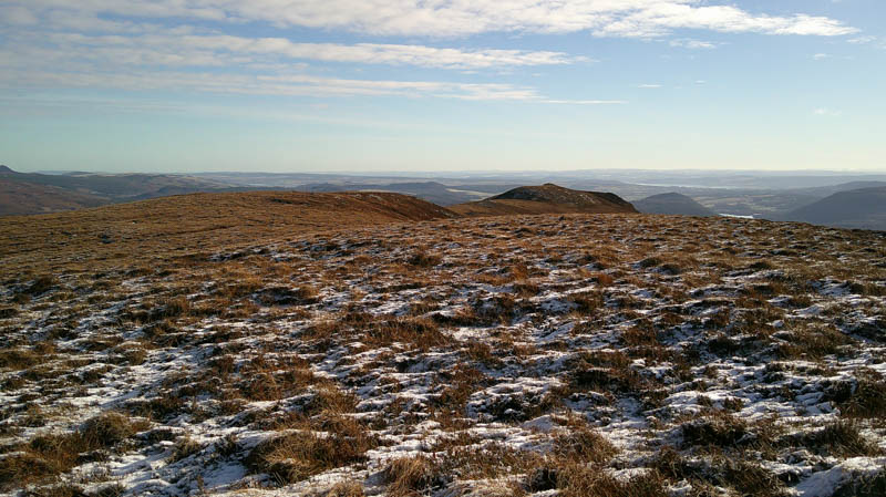
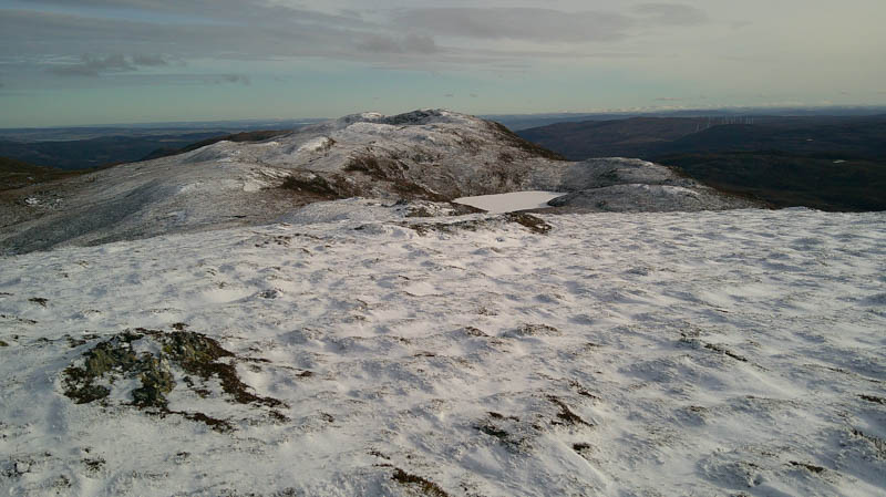
Descended west then made the short climb onto the snow covered Meall Loch a’ Bhealaich. The highest point of this Tump was an outcrop.

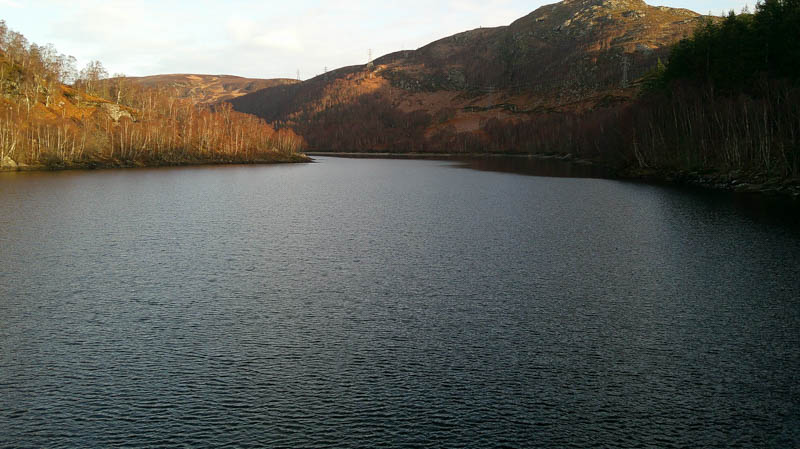
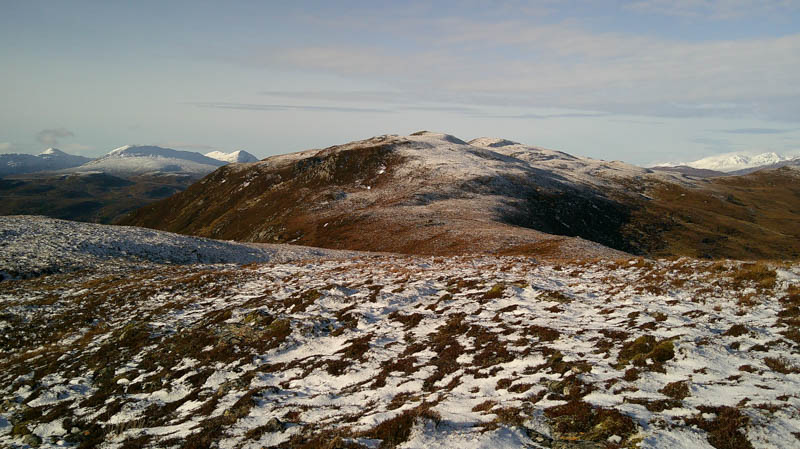
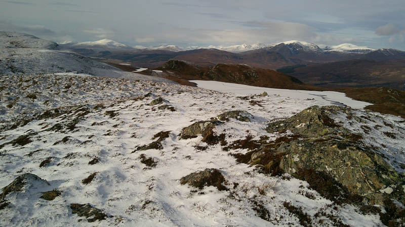
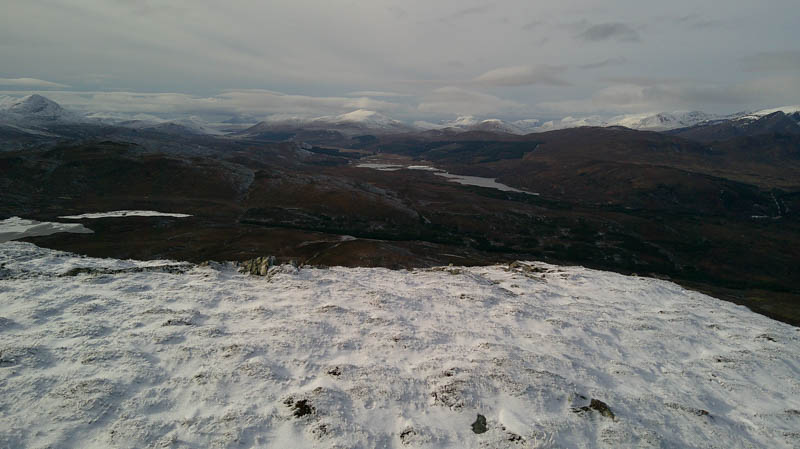
The descent west then north-west took me to west of the snow and ice covered Loch a’ Bhealaich It was then it was a steady climb onto the Tump, Creag an Corrachan, the highest point marked by an outcrop.
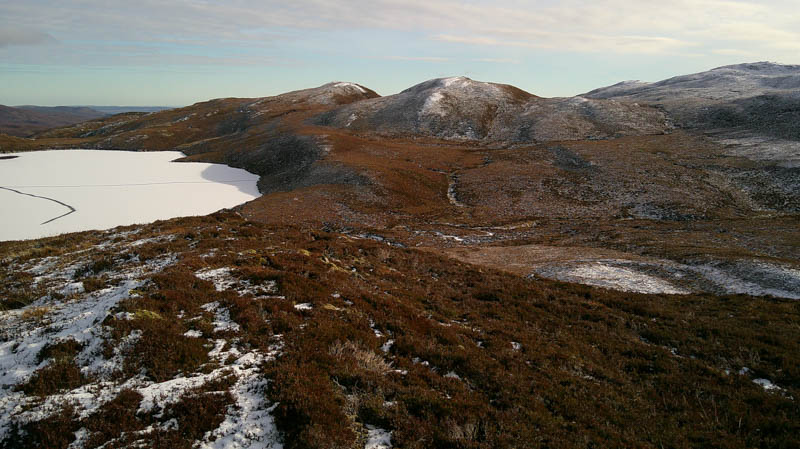
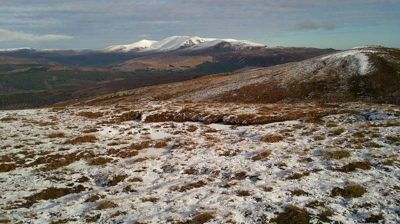
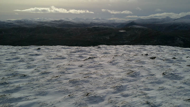
Returned briefly east to avoid the craggy south face, then descended to the east end of an unnamed frozen lochan before the long ascent of Sgurrachd Ire, the lying snow deeper with height. The summit of this Tump, a cairn, was reached, the highest point on this outing.
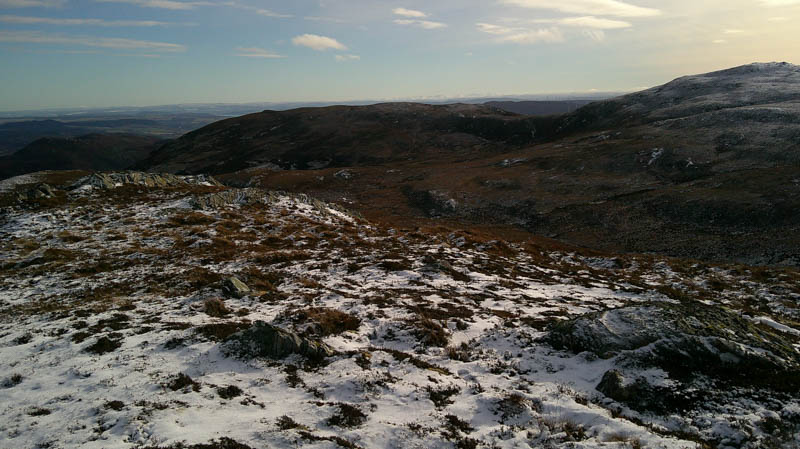
After a quick bite to eat trying to shelter from a cold breeze it was a long descent south-west soon crossing an ATV track then through heather, grasses and a few boulders, with some dead bracken lower down.
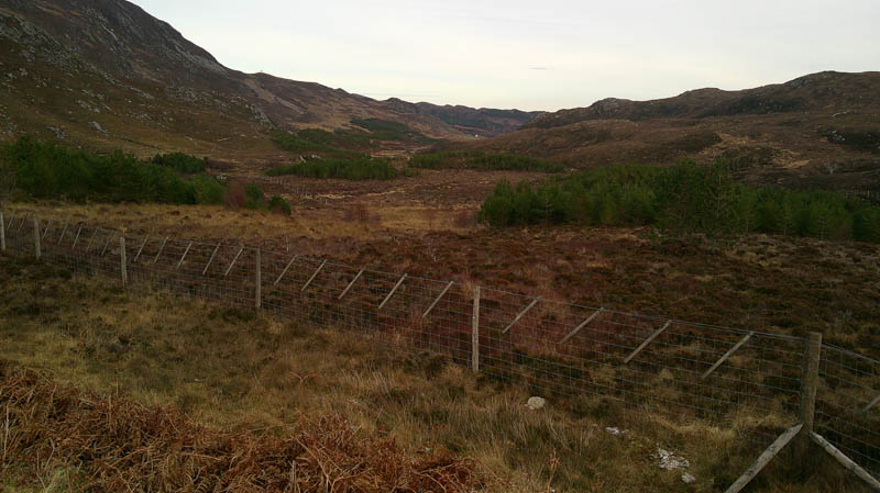
Came to and crossed an estate track, not on the map, then frozen rough ground to reach a deer fence. With no obvious crossing point clambered over the fence and climbed through or round some small groups of young trees onto the summit of the Tump, Carn Dubh, marked by an outcrop.
Returned to the estate track and walked south-east along it to the mapped track in Gleann Marcasaidh then to the point where left it earlier in the day.
The outward route was then followed back to the starting point.
- Time taken – 7 hours 15 minutes.
- Distance – 17 kilometres.
- Ascent – 715 metres.