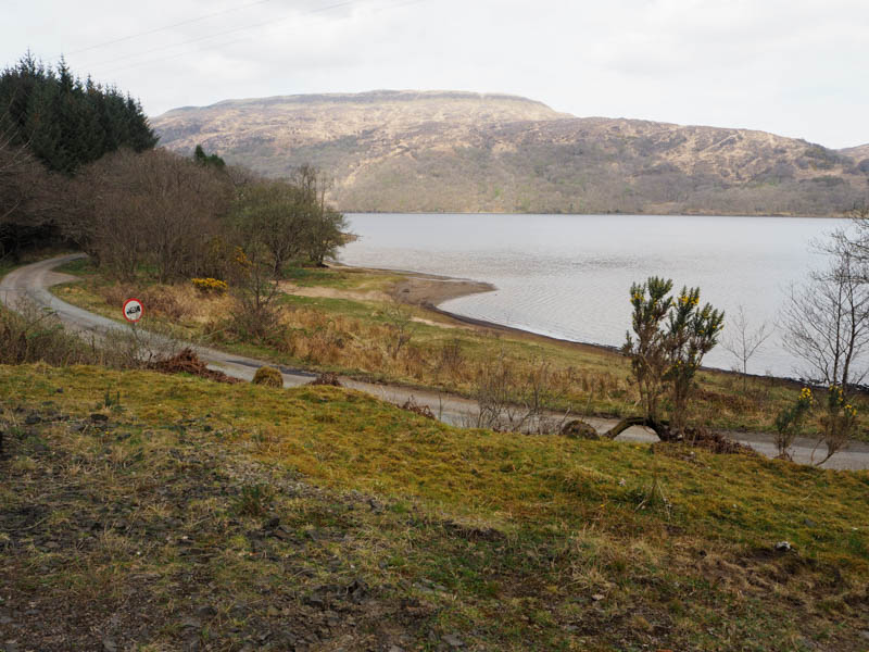
After returning to the mainland from the Isle of Mull on the Fishnish to Lochaline ferry I drove north-east on the A884 and before reaching Claggan turned off left and headed north-west along the minor single-track road to the south-west end of Loch Arienas. (NM68115052) There was limited parking here as it was also the entrance to forest operations.
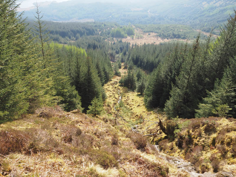
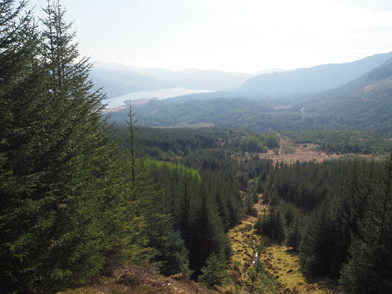
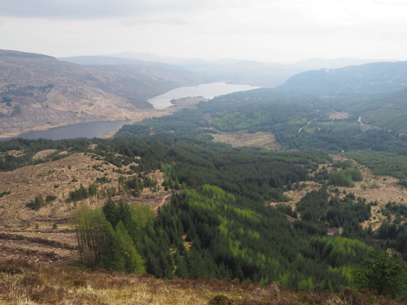
Walked west on a forest track in good condition, through Srath an Aoinidh Bhig, to a junction of tracks where continued north-west gaining a bit more height. After nearly four kilometres, which could easily be cycled, reached the Allt an Aoinidh Mhoir and a break in the trees. Signs indicated restricted access due to forest operations although no work appeared to be in progress that Saturday.
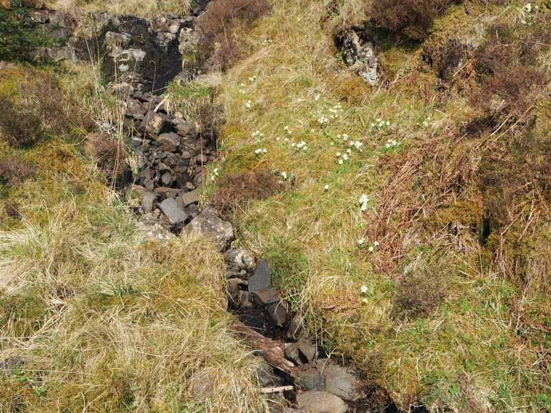
I left the track as planned and commenced the ascent up the side of this stream.
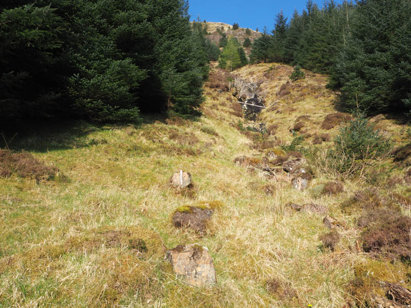
Initially it was just a steady plod but there was a steeper section before easing a bit with deer tracks to assist through the grass, moss, heather, dead bracken and some broom.
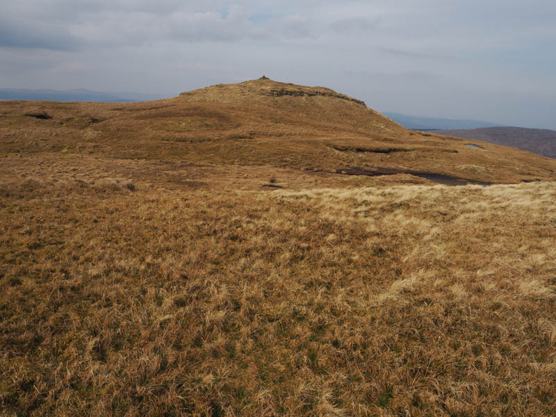
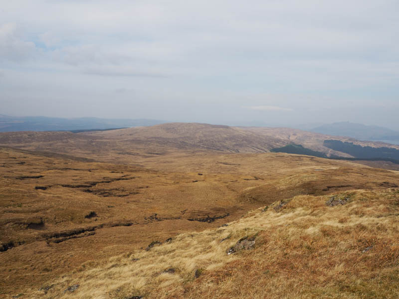
On reaching old deer fence posts I followed them south-west to a deer fence but there was no obvious crossing point, so I climbed over it then a fairly easy walk west led to the large cairn marking the summit of the Sub 2K Marilyn, Sithean na Raplaich.
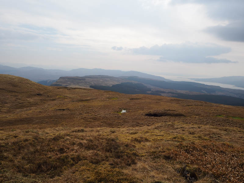
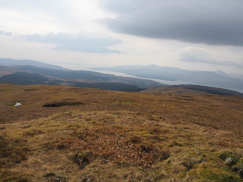
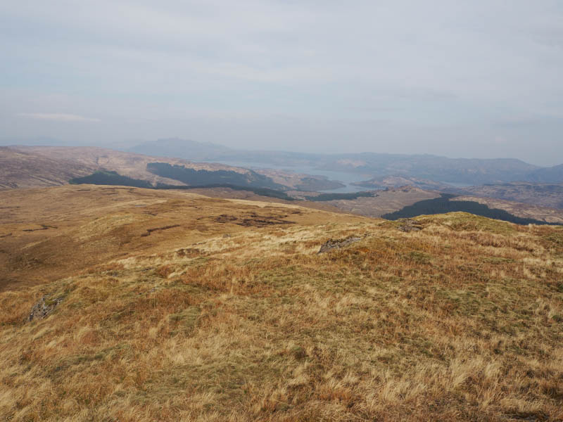
After a fuel break sheltering from the breeze, I took a more direct line to the top of the forest gap, still involved crossing the deer fence, and returned by the approach route.
- Time taken – 4 hours 10 mins.
- Distance – 11.75 kilometres.
- Ascent – 600 metres.