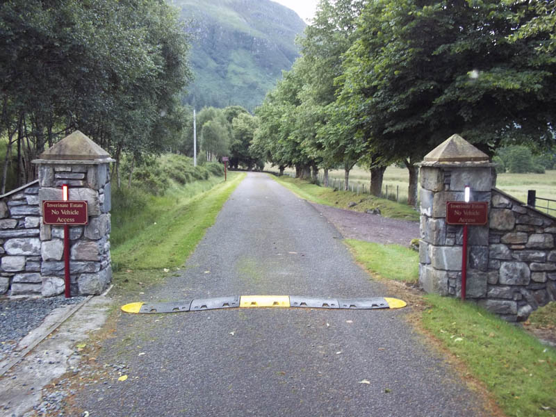
I departed Inverness just after 4.30am and drove to the parking area at the head of Loch Long, reached from the A87 Kyle of Lochalsh Road north-west of Dornie. The midges were out as I geared up for this long cycle/walk.
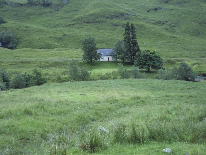
I set off on my bike along the private road to Killilan then up Glen Elchaig stopping a couple of times to push the bike.
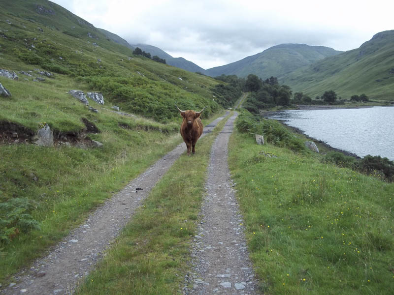
Just prior to Carnach I was forced to stop and walk passed a Highland cow that was blocking the track.
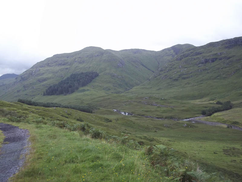
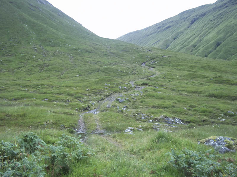
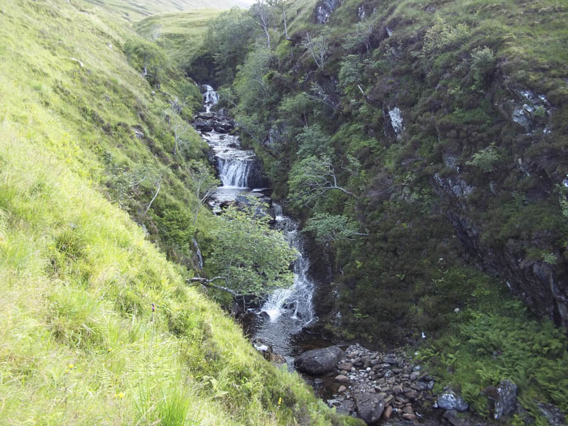
On reaching Iron Lodge I dumped the bike and continued on foot along a fairly rough and in places steep track above the Allt na Doire Gairbhe which flowed through a narrow gorge with some small waterfalls.
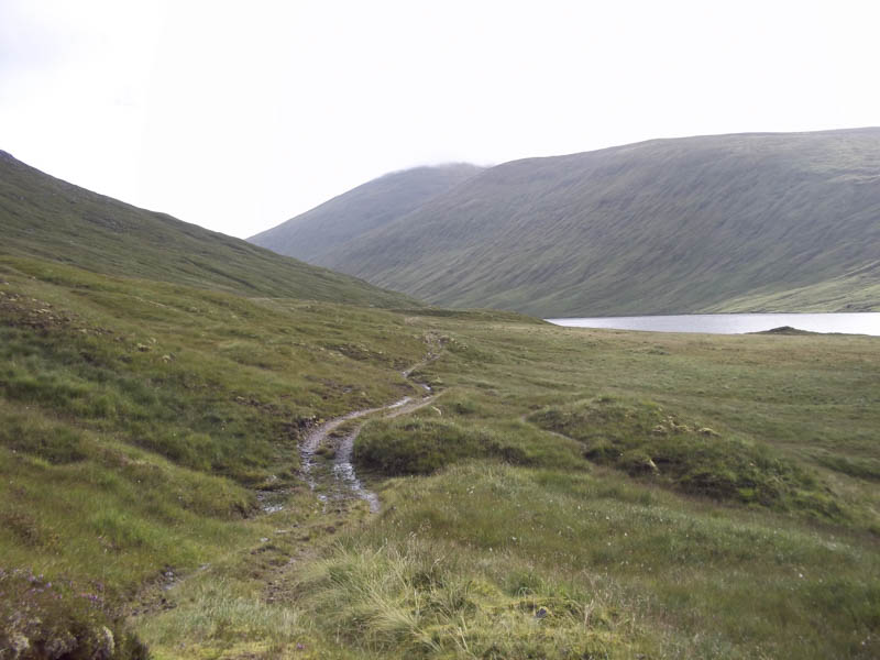
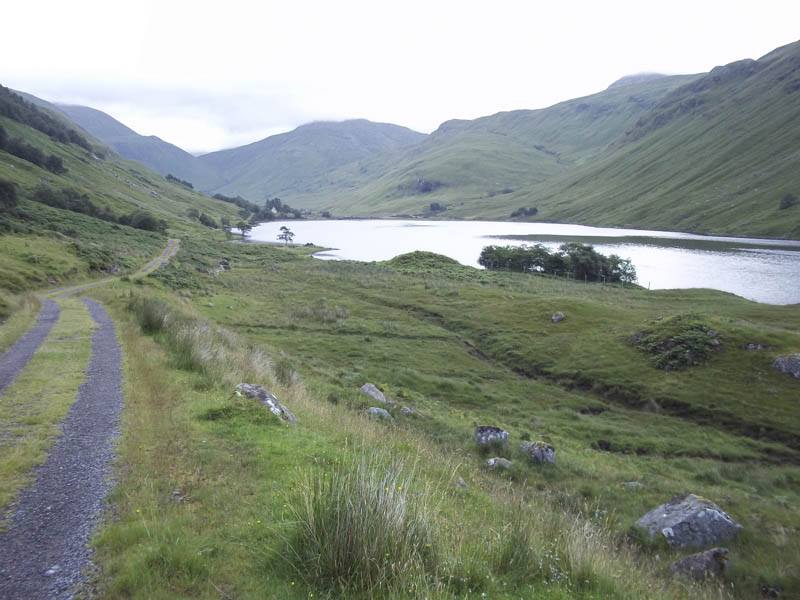
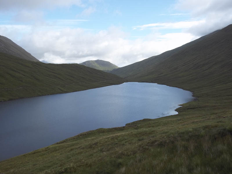
Later the ground levelled out a bit as I approached Loch Mhoicean. Here I left the track, walked through long grass, and crossed some wet ground as well as the Allt na Doire Gairbhe.
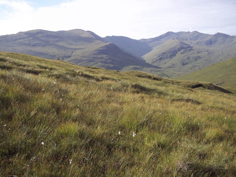
I headed for the col between An Socach and the Graham, Carn na Breabaig.
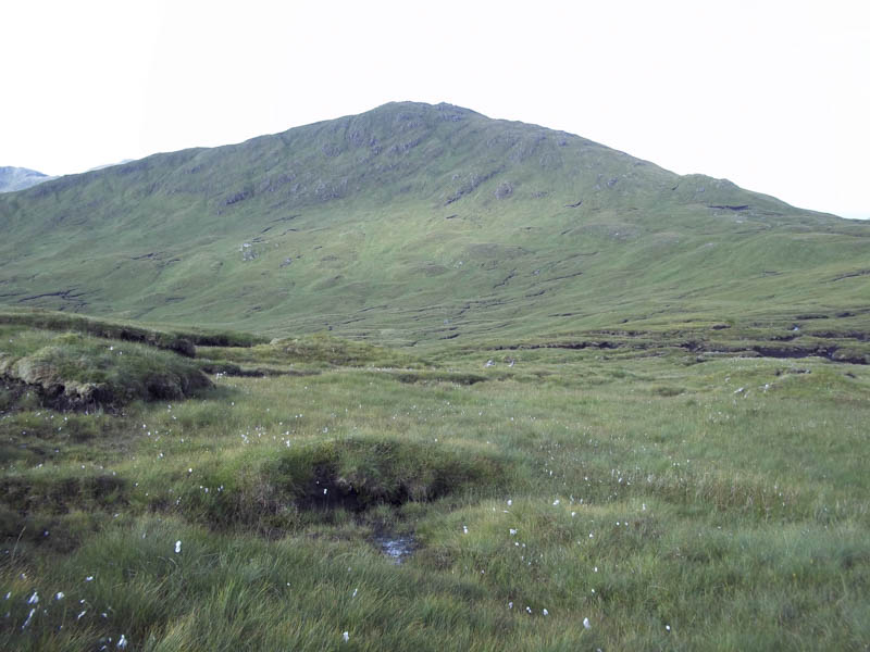
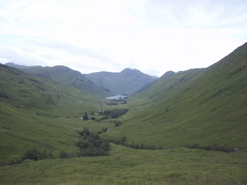
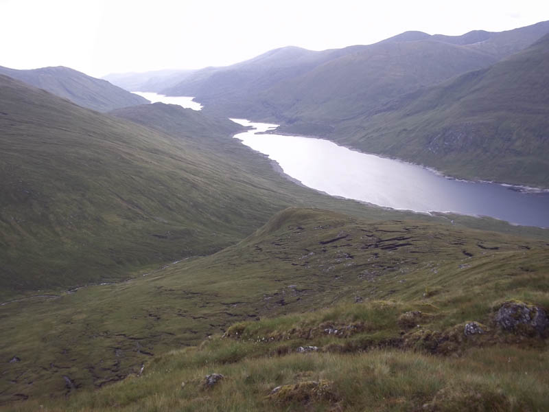
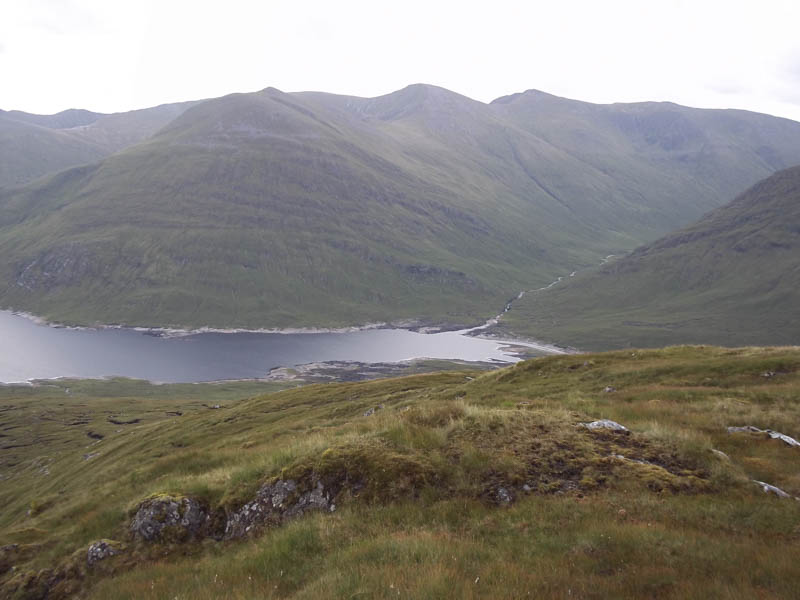
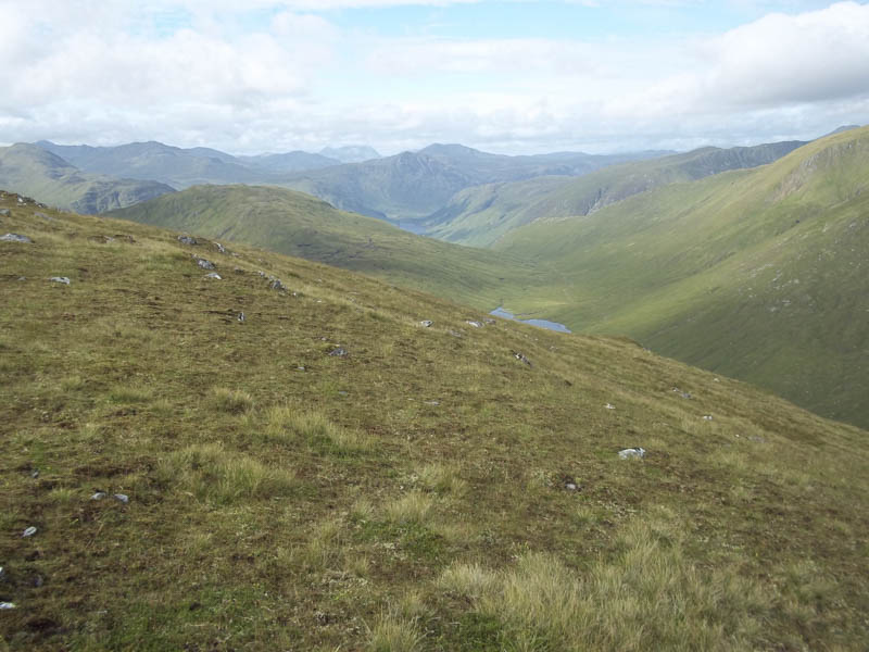
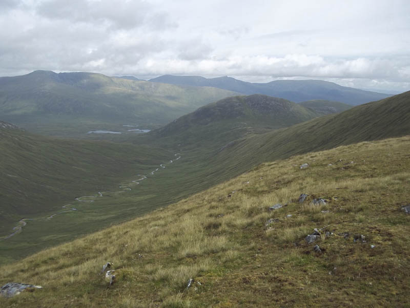
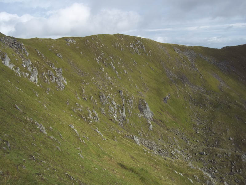
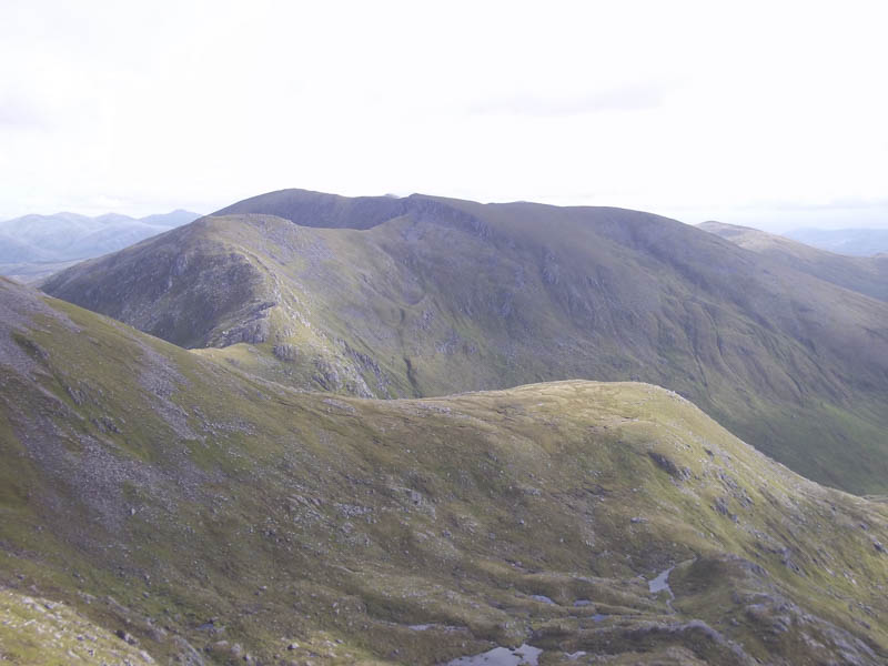
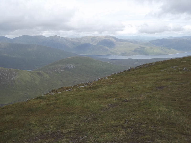
The going was a bit awkward with several small gullies to cross as well as near the col some peat hags. Beyond, it was then a steady climb on grassy vegetation to reach Meall Shuas where I took a break looking down Loch Mullardoch and across to the mountains of Glen Affric.
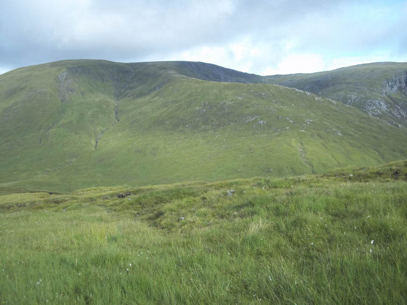
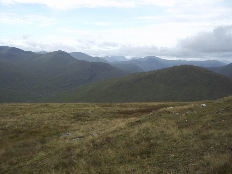
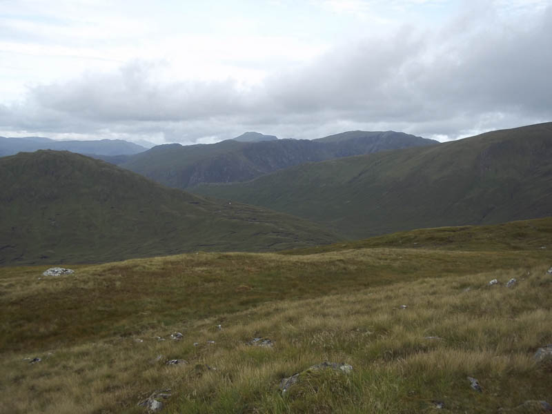
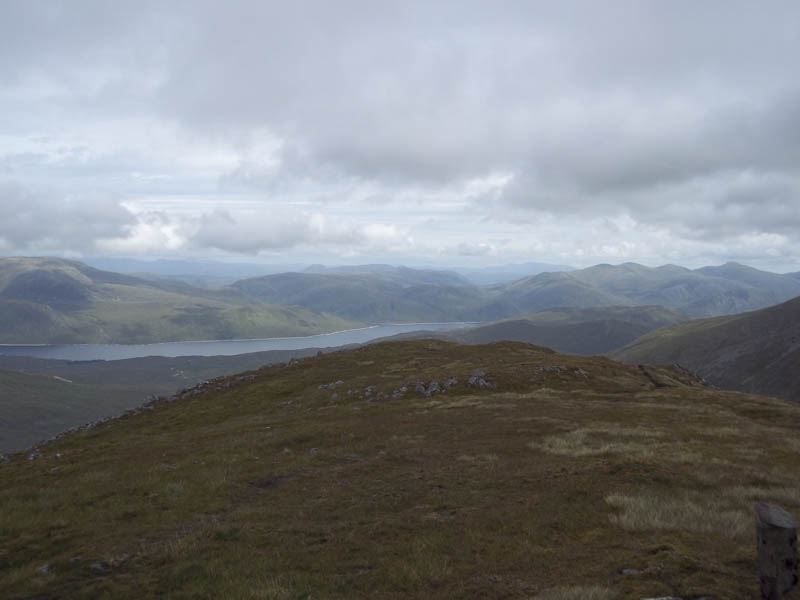
Thereafter I headed north then north-east along the wide ridge above Coire Lungard to the Bealach Pait.
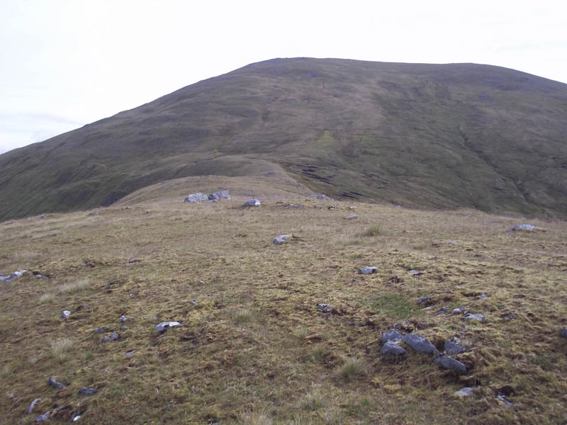
It was then another steady climb on grassy vegetation to gain An Socach’s South Ridge followed by a short walk to its summit trig point.
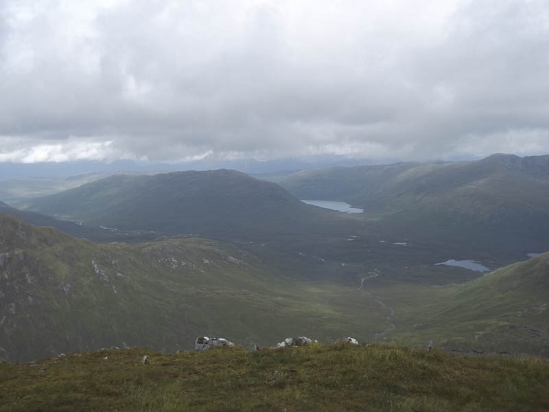
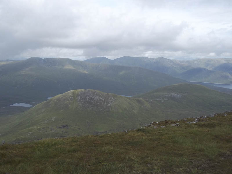
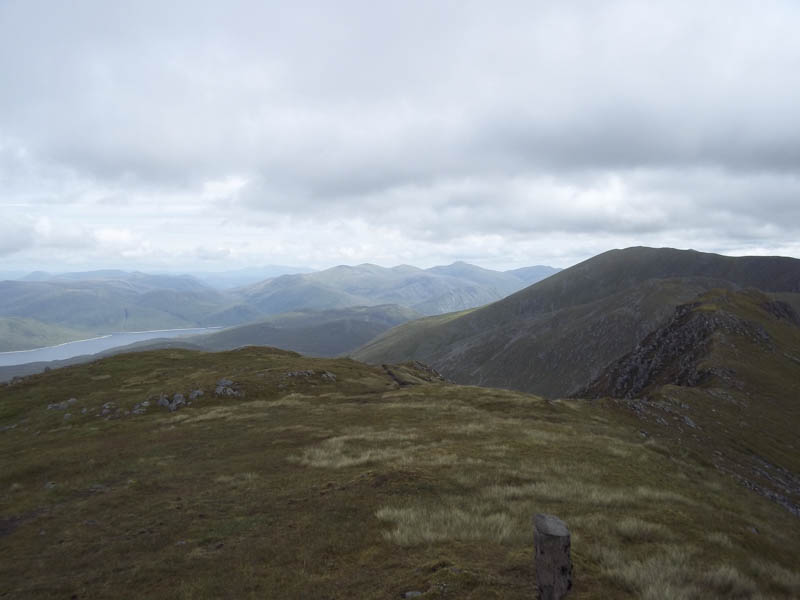
The cloud was gathering in the west and rain was forecasted for late morning so I didn’t linger long at the summit of this Munro. I returned to the Bealach Pait then part way along the ridge above Coire Lungard descended to the north end of Loch Mhoicean. I disturbed some deer on this route which was rather steep making for slow progress. It would probably have been easier using the ascent route. Anyway the track was reached and followed back to Iron Lodge where I collected my bike.
By this time it had started to rain, thankfully later than forecasted, so it was a rather wet cycle back to the car park delayed for a few minutes by the same or another Highland cow on the track.
- Time taken – 8 hours.
- Distance – 30.75 kilometres.
- Height climbed – 1450 metres.