I left my vehicle in the parking area to the south of Loch Tarff on the B862 Fort Augustus to Whitebridge Road and walked briefly east along the road to a gate in a stock fence.
Once through this gate I initially followed a churned up vehicle track which ran south-east but left the track to find a more suitable route but this wasn’t successful.
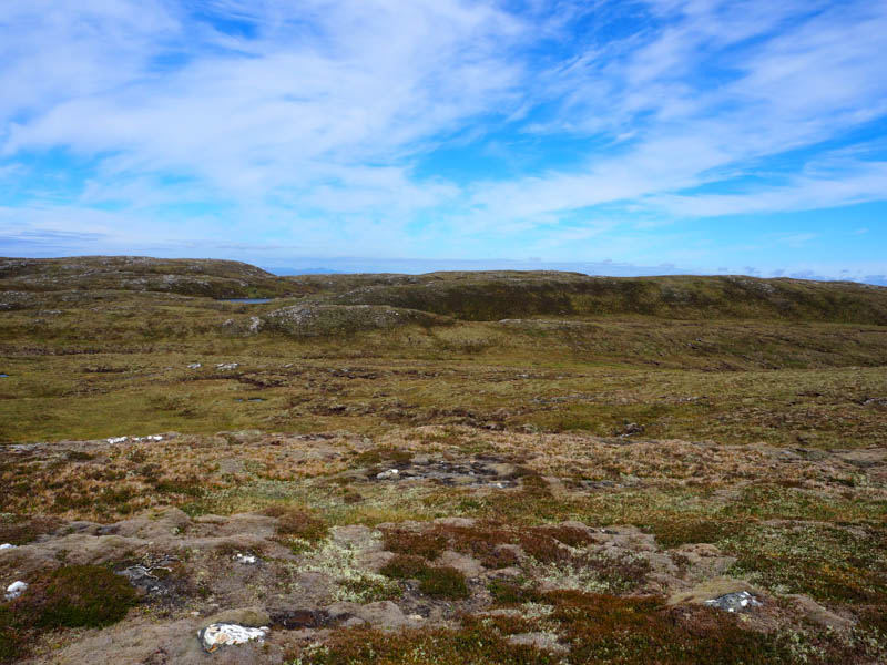
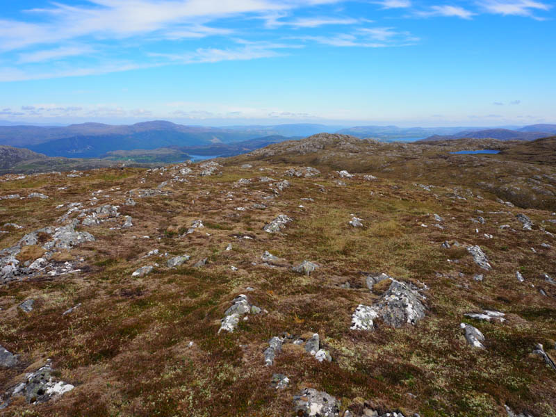
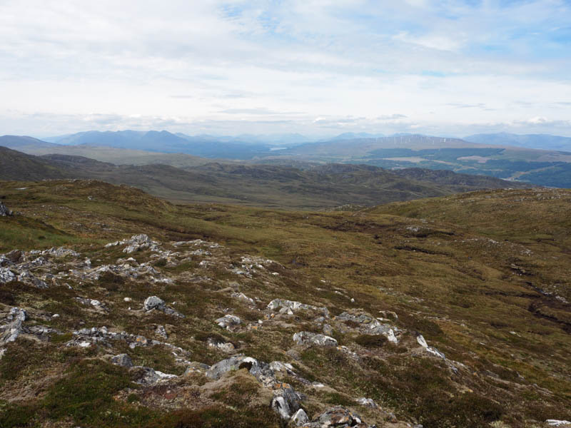
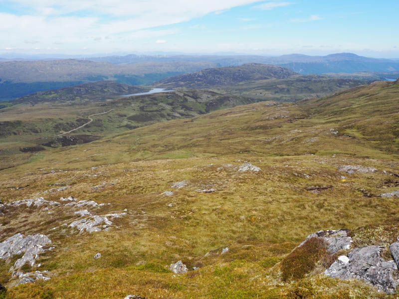
I headed up the ATV track on the east side of the Allt an Eich Dhuibh but later left it and climbed south-east through numerous crags onto the north face of Carn Thomais and to the summit of this Sub Simm, a rib of rock.
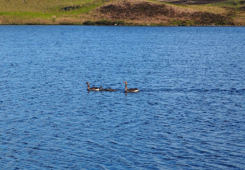
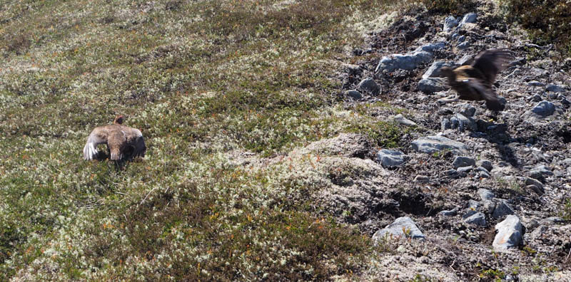
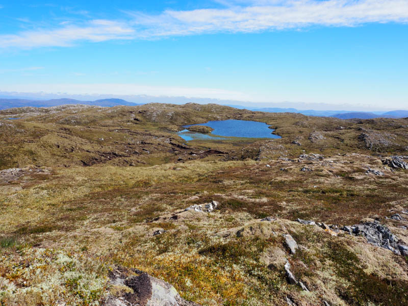
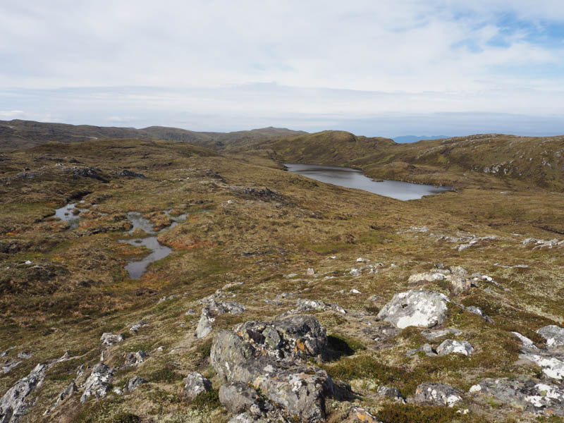
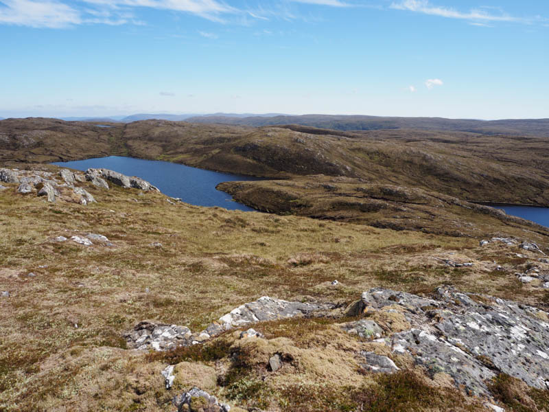
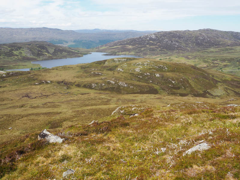
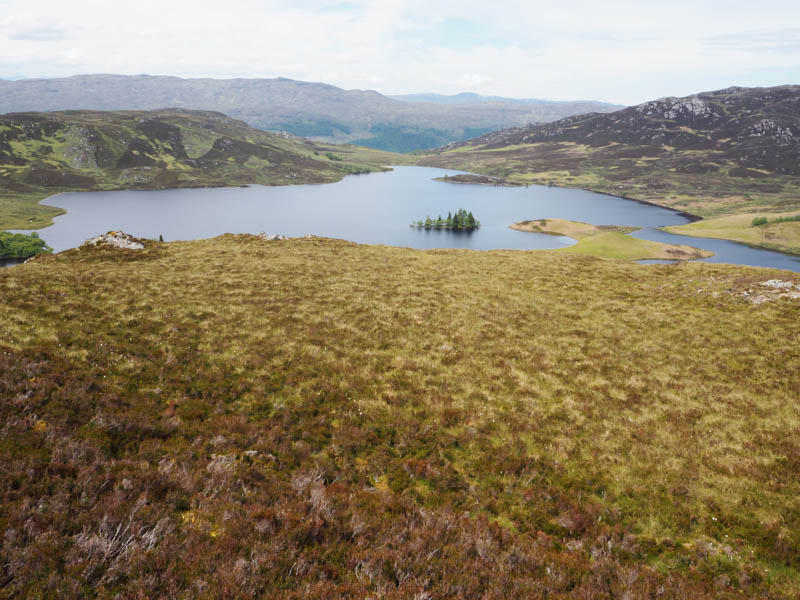
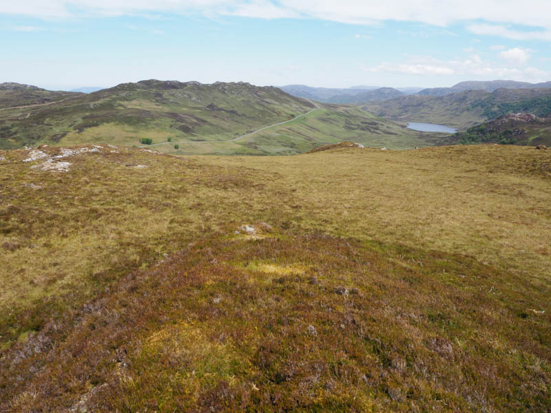
The descent south took me through rocky ground, peat hags, mostly dry, and bog pools which were avoidable but despite these conditions the walking was fairly easy just not in a straight line. I passed to the east of Lochan Vungie and west of a couple of unnamed lochans to reach the vegetated outcrop marking the highpoint of Cairn Vungie. Immediately prior to reaching this Graham Top I disturbed a family of grouse. The young disappeared while the adult birds tried to distract me.
I took a break here listening to the alarm calls from several birds before heading off in a southerly direction through similar underfoot conditions and to the east of more unnamed lochans to reach the Sub Simm, Cairn Vungie South Top, the summit marked by a vegetated outcrop.
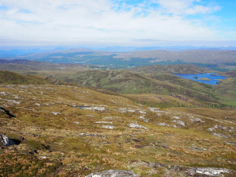
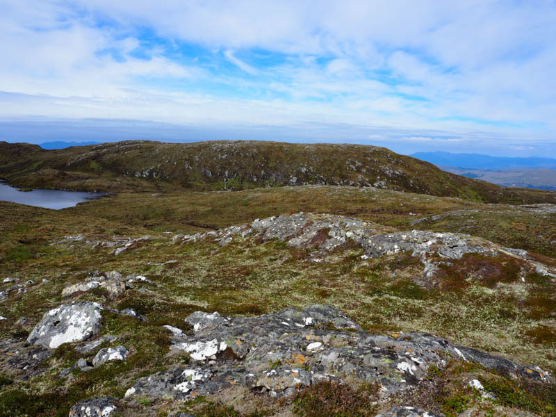
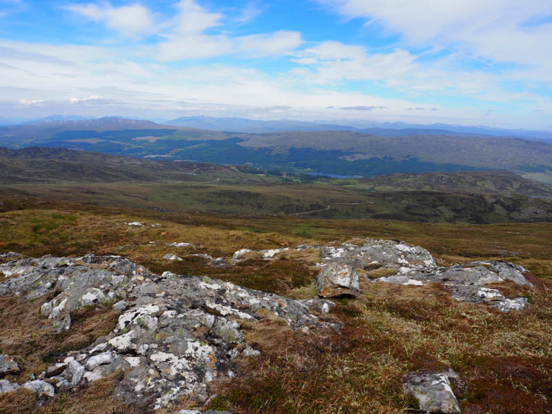
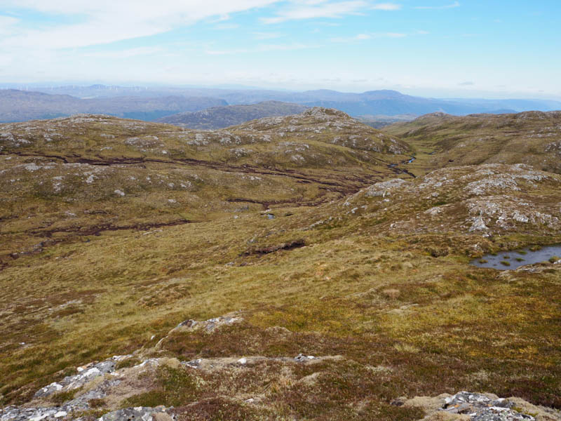
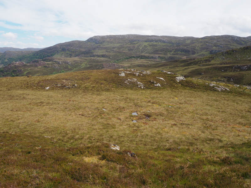
Thereafter I headed west round or through a few undulations passing between the Dubh Lochans before climbing to the outcrop marking the summit of the Graham Top, Creag Coire Doe, which was the highest of a small group of minor hills I planned to continue to.
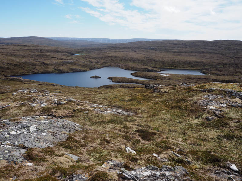
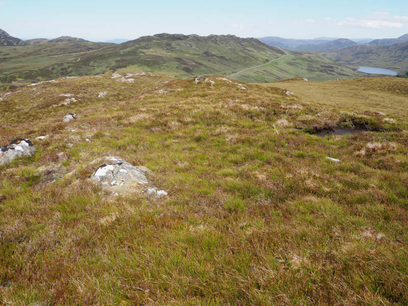
The next hills was to the north so I headed to and climbed Creag Coire Doe North Top. The highest point of this Sub Simm was apparently a vegetated outcrop but I also visited the cairn further north as it appeared around the same height.
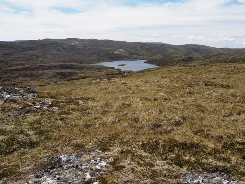
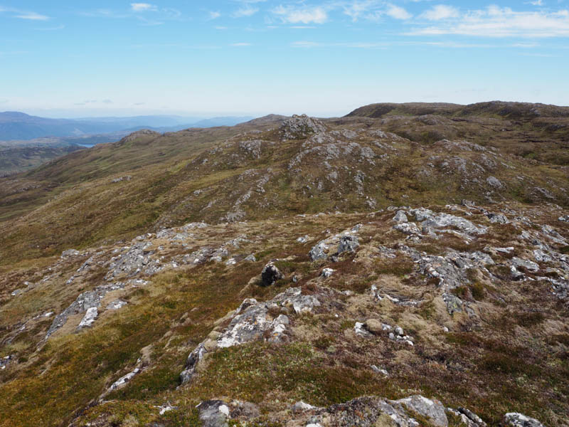
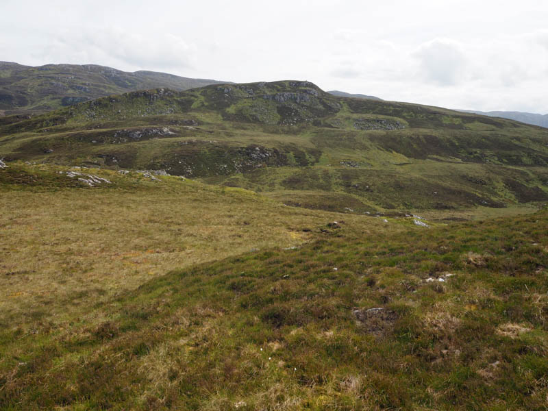
I returned to the west side of Creag Coire Doe and used the base of several dry peat hags making for easy walking to below Creag Coire Doe South Top. I then ascended this hill still using some of the peat hags. An outcrop marked the summit of this Graham Top.
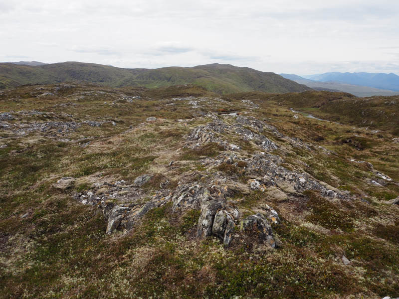
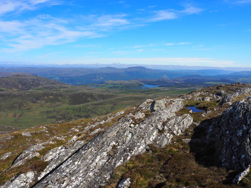
The next one was only 300 metres to the west but I took a slightly longer route to avoid the crags. The summit of the Sub Simm, Creag Coire Doe South-West Top, was another vegetated outcrop.
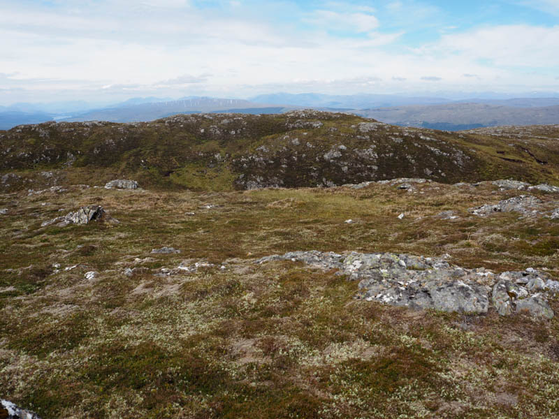
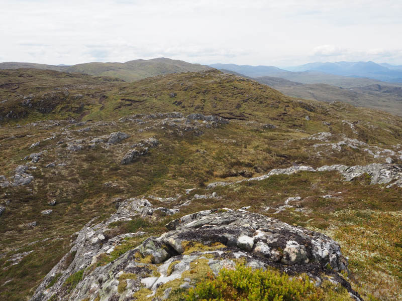
I then headed NNW to the next Sub Simm which was a bit further away but it was only a short walk to Creag Coire Doe West Top, with another vegetated outcrop, marking its summit.
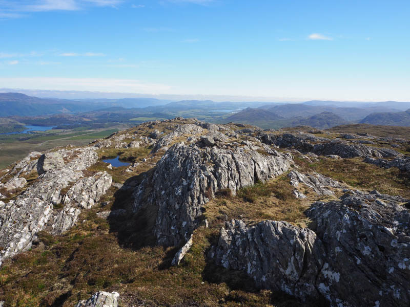
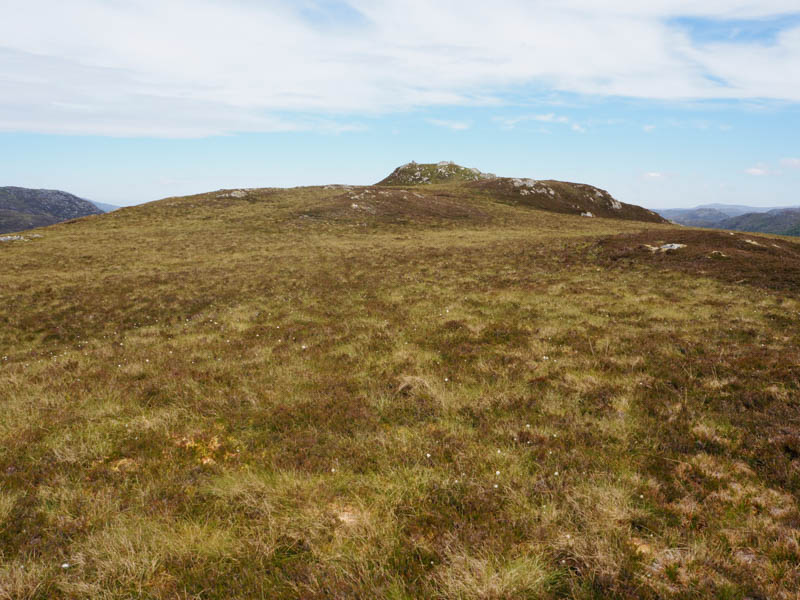
The final wee hill of this group was to the NNE and a bit more interesting with its small rocky summit. It was a short easy walk and ascent to Creag Coire Doe North-West Top, the rocky knoll marking the highpoint of this Sub Simm which was a suitable point to stop for lunch.
Afterwards I descended north-west with a couple of steeper sections mainly through heather with some bog and wetter ground lower down.
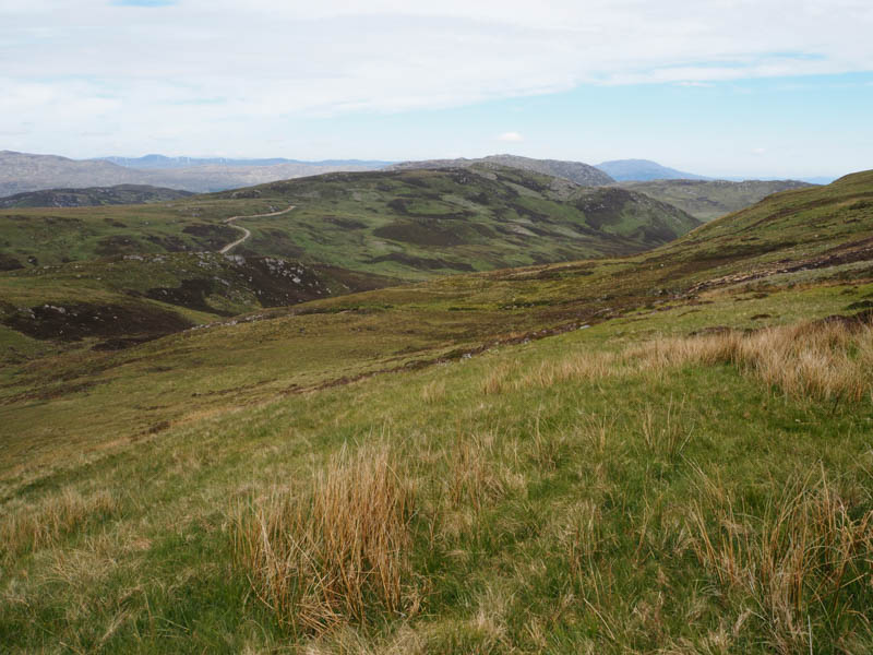
I headed for a vehicle track that I had spotted to the south of Carn Clach nan Fearna. I joined this track, which came up from Glen Doe, at NH428077 and followed it onto the south-west ridge before it came to an end at NH427082.
It was then a short walk to the summit of this Tump, a large pointed rock.
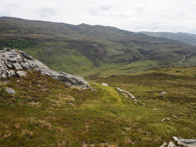
I briefly returned down the south-west ridge to avoid the steeper north-west face then continued the descent north-west before making the easy ascent of the Tump, Carn Leitir an Lochain, where there was a cairn at the summit.
It was then a short descent north-east to the gate in the stock fence to access the B862 a short distance from my car.
This was the most hills I had every climbed in a single day, albeit there wasn’t a lot of distance or height between them.
- Time taken – 6.5 hours.
- Distance – 15 kilometres.
- Height climbed – 815 metres.