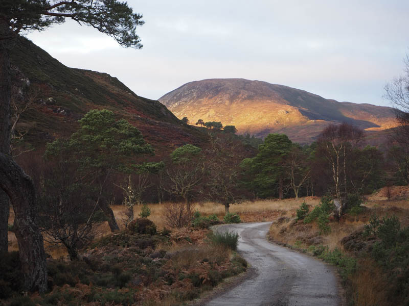
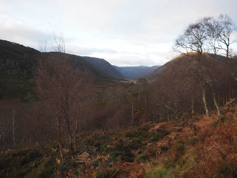
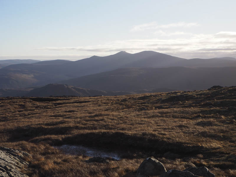
It was a touch frosty when I left my car at the end of the public road north of Glencalvie Lodge after a drive west through Strathcarron, accessed from the A836 Tain to Bonar Bridge Road at Ardgay. I walked west along the vehicle track on the north side of the Alladale River as the sun rose on the hill tops.
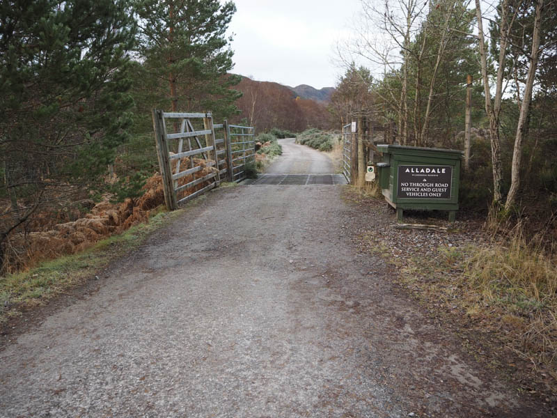
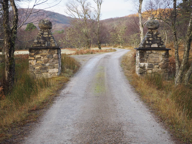
At the junction with the vehicle track for Gleann Mor, where there were some new looking wooden buildings, I headed up the vehicle track towards Alladale Lodge.
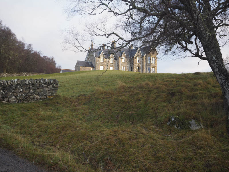
Immediately prior to the gates leading to this property the track continued west through the trees then lost the height just gained.
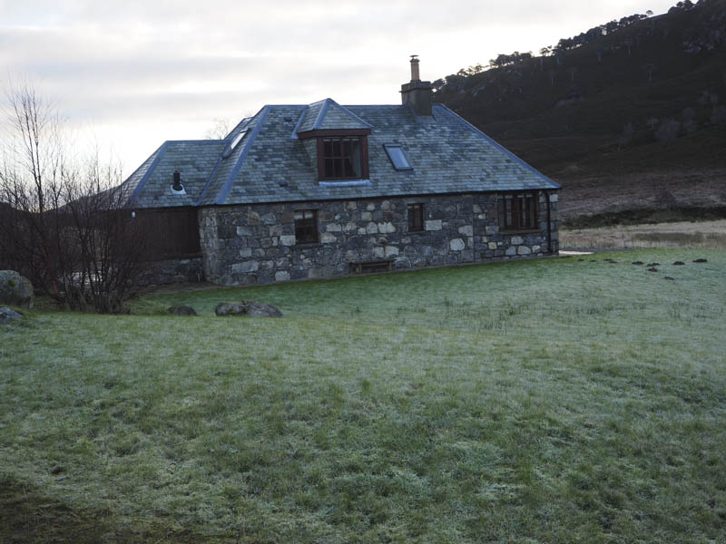
After the accommodation, Ghillie’s Rest, and at the bridge over the Allt Riabhach where there was a small power station, ATV tracks ran north-west through a young plantation and onto the west ridge of Carn Alladale.
It was then a steep climb to reach the cairn marking the summit of this Graham Top where after the calm in the glen there was now a cold breeze.
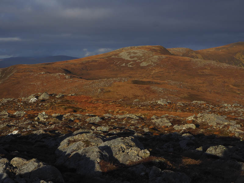
The descent west of north led to a deer fence with an additional loss of height to reach a gate secured with a combination lock. The numbers required to open the lock where displayed on a fence post but unfortunately the lock was rusted shut so I had to climb over the gate. An undulating and twisting ridge led to the Graham Top, Carn a’ Choin Deirg South Top. The highest point was apparently a rock but they were several of them.
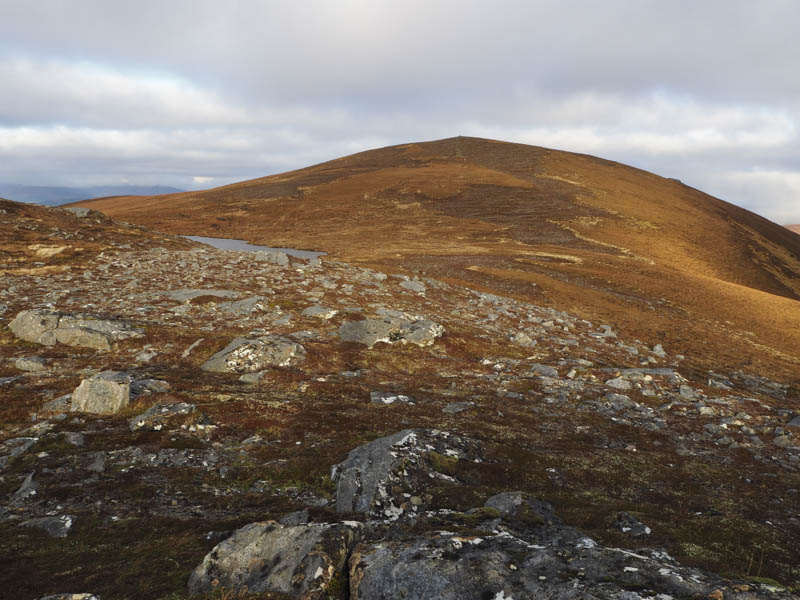
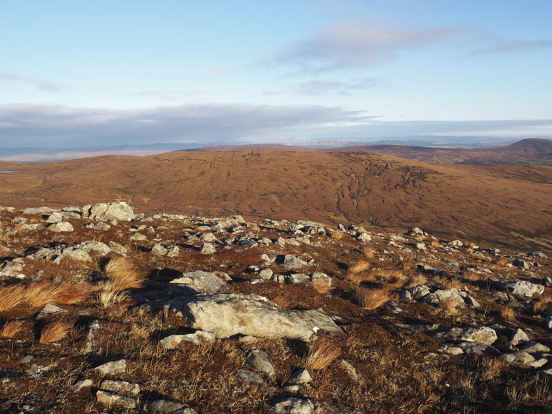
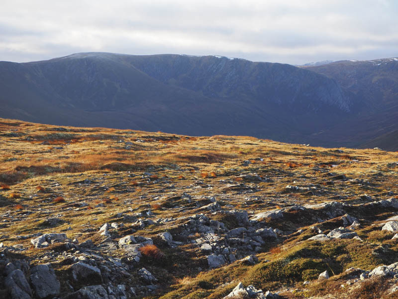
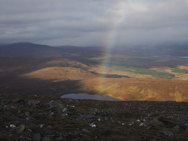
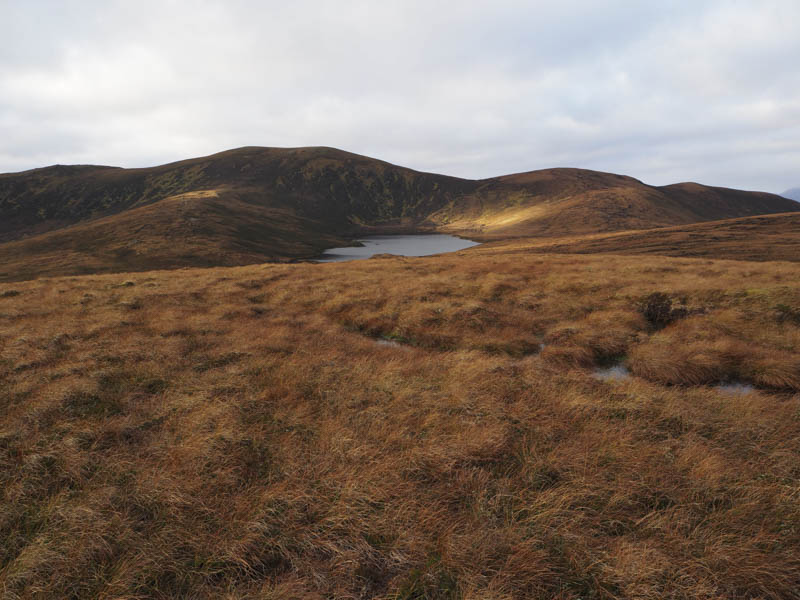
My walk continued north descending to a small lochan then making the easy ascent to the summit of the Graham, Carn a’ Choin Deirg, marked by a trig point. The earlier sun had been replaced by a few light showers.
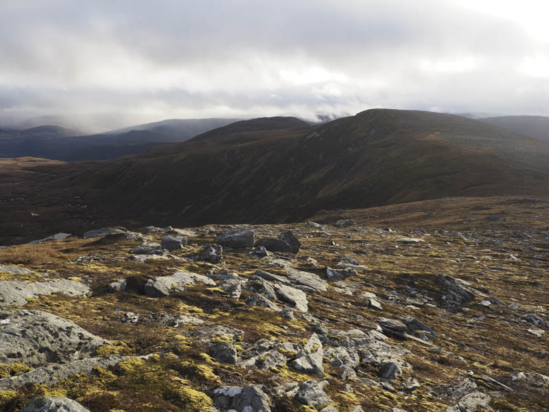
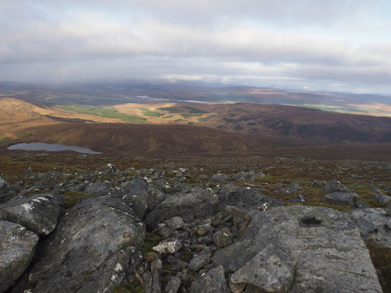
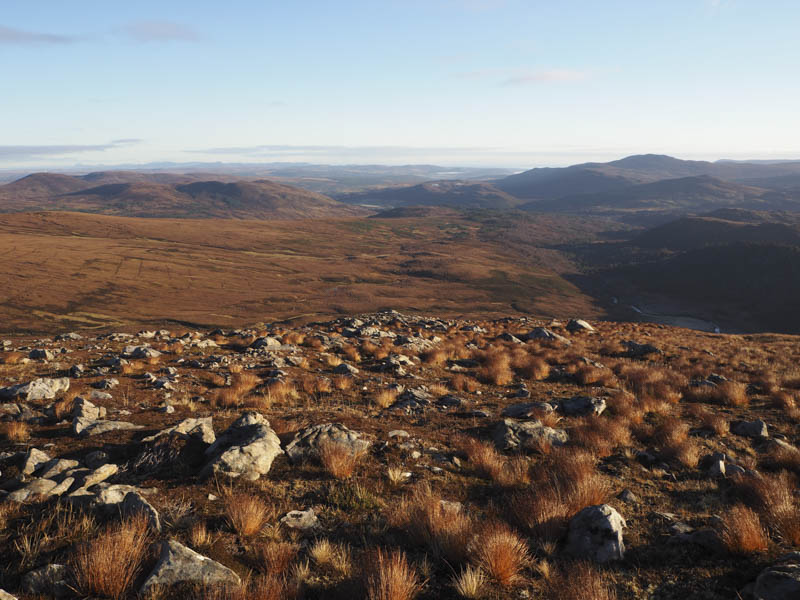
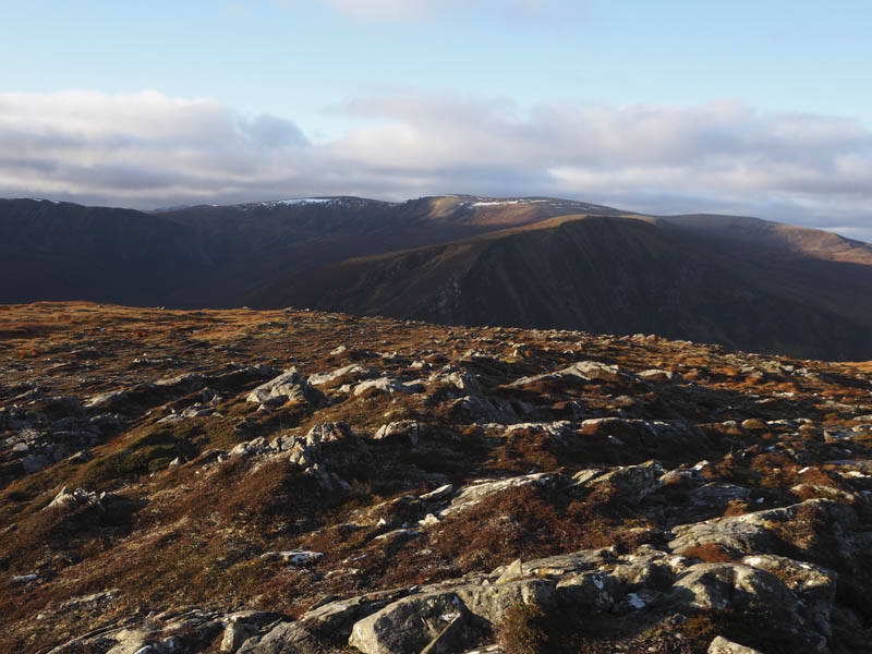
I descended north-east to the col with Carn Beag then east and south-east working my way through or round the numerous peat hags to reach the col with Leitir Riabhach.
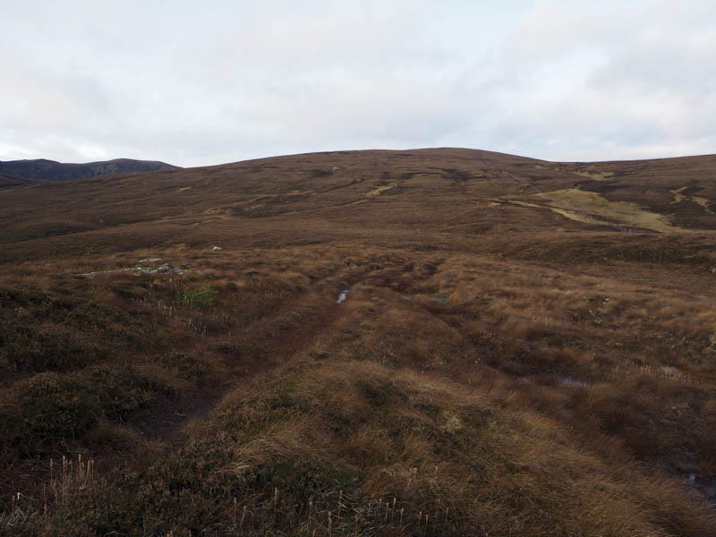
On its ascent there was little change in the underfoot conditions although there might have been fewer peat hags to contend with. The summit of this Tump was either a quartz boulder or the top of several peat hags, all of which I visited.
It was initially an easy descent south-east through the peat hags but later became a bit more awkward as I followed a deer fence. A tied down gate was crossed then a long stretch of boggy ATV track led to the vehicle track used earlier in the day, 680 metres east of where I had left it.
I then returned to the start by the outward route without spotting or meeting anyone all day.
- Time taken – 6.5 hours.
- Distance – 19 kilometres.
- Height climbed – 880 metres.