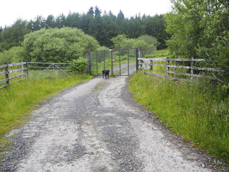
The starting point for the ascent of the Graham, Beinn nan Ramh, was the A832 Garve to Achnasheen Road just west of Dosmuckeran (NH199599) where I parked on the verge. A vehicle track headed north but a gate in the deer fence was locked with numerous padlocks. Immediately to the east a wooden fence was crossed then we passed through a gap in the deer fence.
The estate/hydro road gradually climbed north-east along the edge of the deer fence and what was left of the forest that had been cleared. The track continued north across open moorland and here we were passed by a couple of vehicles, one of which belonged to an electric company.
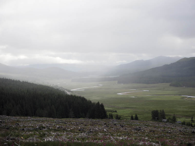
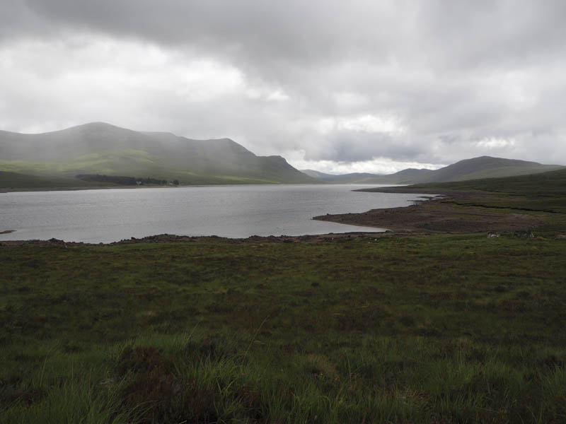
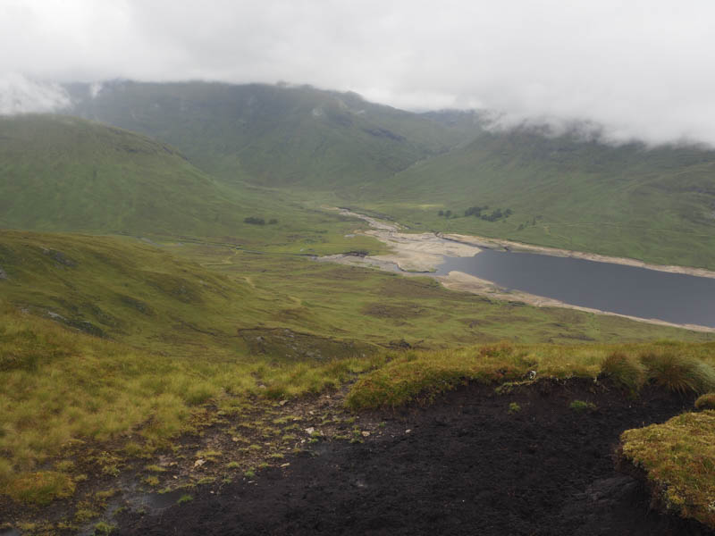
On reaching the track’s highpoint we descended to Loch Fannich where the track headed west above the Loch’s south shore.
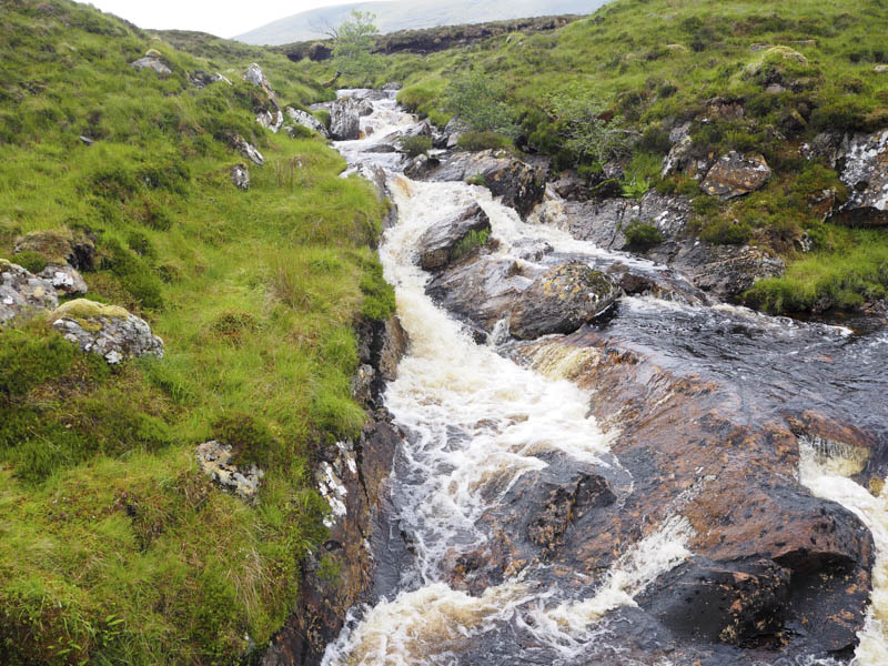
This took us to the bridge over the Allt na Moine and the outflow from an abstraction pipe.
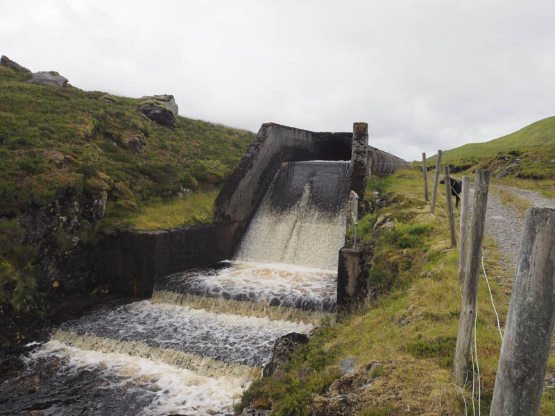
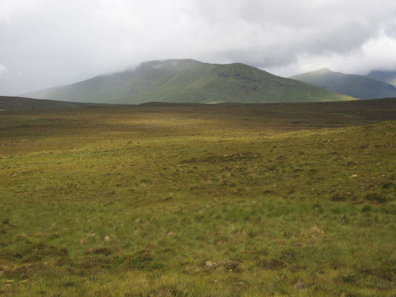
The track at this point was now heading in a south-westerly direction on the north side of large concrete pipes. A few hundred metres further on we came to a junction of tracks, not shown on my map, where we took a right this track running below the East Ridge of Beinn nan Ramh and gaining a bit of height. At what appeared to be the track’s highest point we left it and climbed across rough vegetation onto the East Ridge.
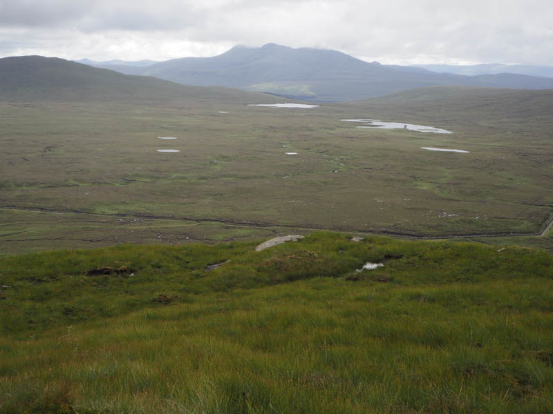
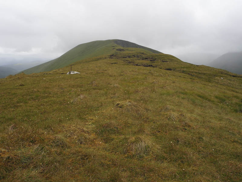
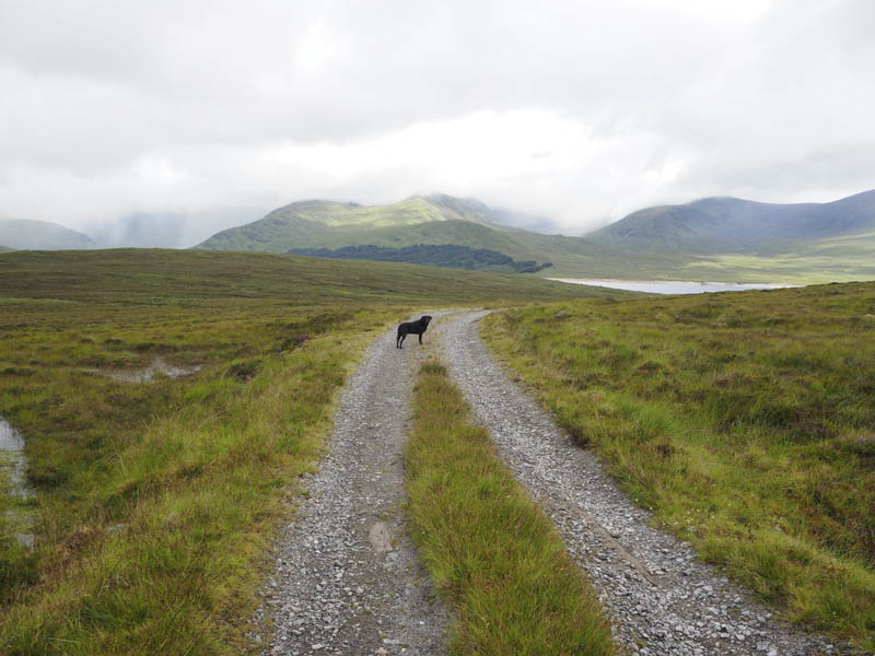
Higher up the ridge briefly narrowed and as we approached the East Top the cloud lowered and the rain commenced. Beyond this Top there was a slight loss of height followed by a walk of around a kilometre across some mossy and waterlogged ground to reach the cairn marking the summit of Beinn nan Ramh.
Unfortunately it was still raining and with no views due to the low cloud we headed back to the East Top. Lower down the rain ceased and we again had some views as we made a more direct descent of the East Ridge to rejoin the track and follow the outward route back to the start.
- Time taken – 7.75 hours.
- Distance – 25.75 kilometres.
- Height climbed – 825 metres.