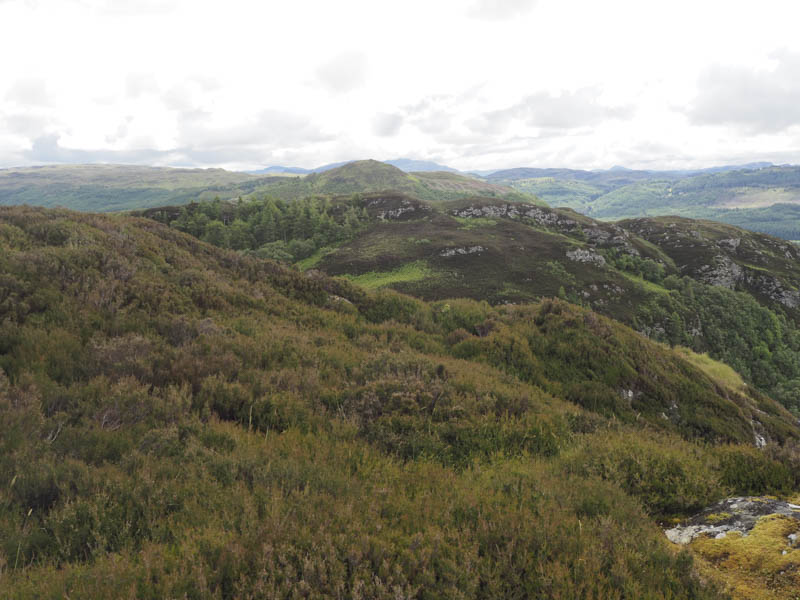
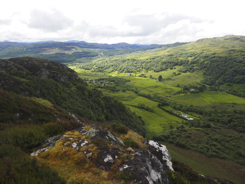
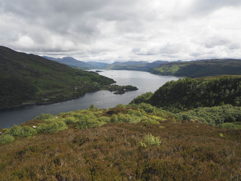
Creag Mhaol West Top: From near the cattle grid on the minor road west of Achmore, south-west of Stromeferry and accessed from the A890 Lochcarron to Kyle of Lochalsh Road, walked along a little used path then through long bracken to gain the col between Creag Mhaol and its West Top. From there ascended the Tump, Creag Mhaol West Top.
The return was by the ascent route.
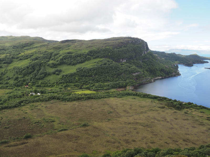
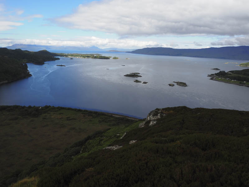
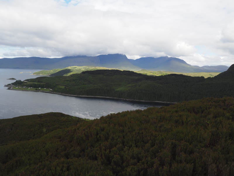
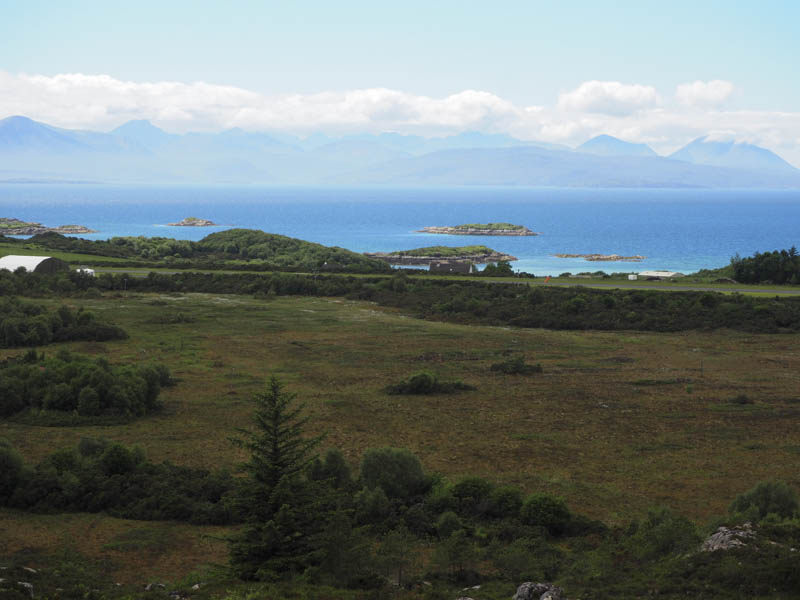
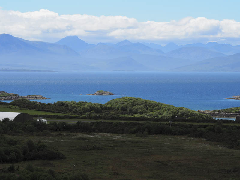
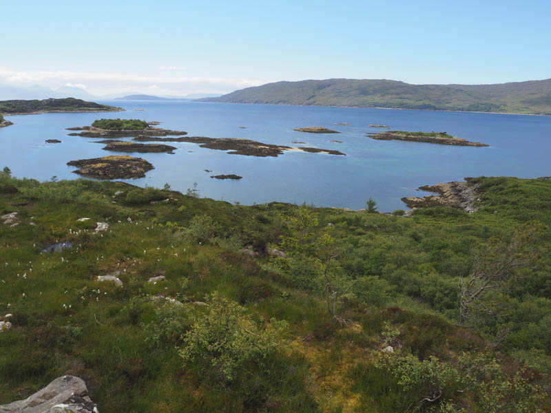
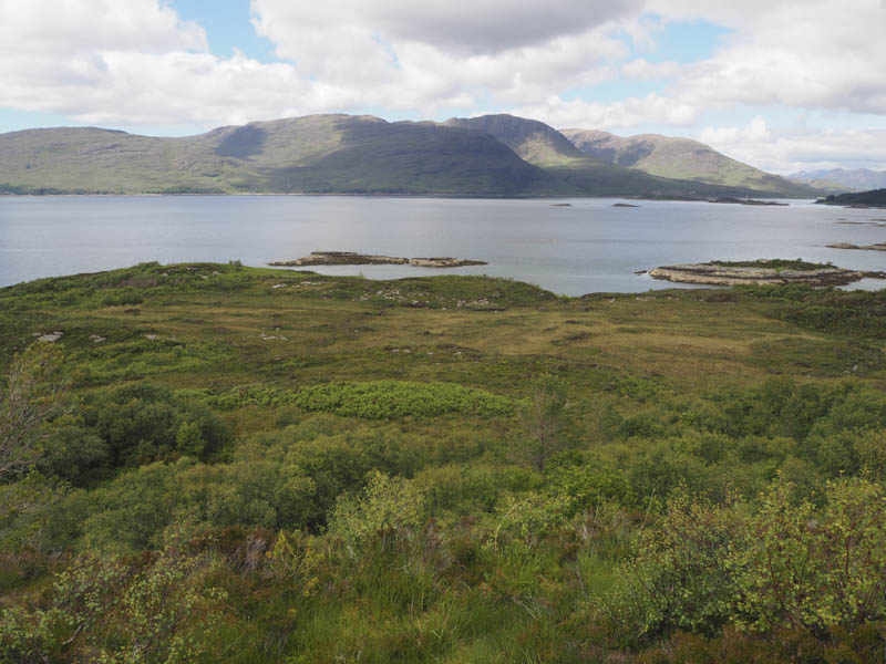
Carn an Duine: From my accommodation in Plockton, north-east of Kyle of Lochalsh, walked along the path on the east side of Carn an Duine and crossed rough ground to the summit of this Tump which was located amongst gorse bushes.
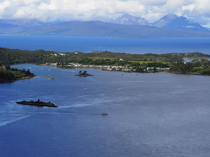
Thereafter descended east into the village and returned to the accommodation.
- Total time – 2.5 hours.
- Total distance – 2.75 kilometres.
- Total height climbed – 240 metres.