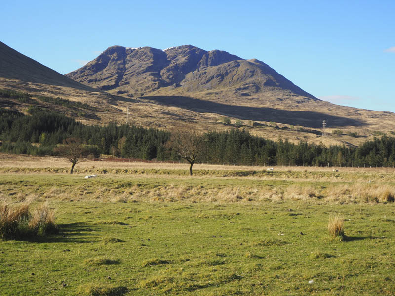
There were already a couple of cars parked in the large parking area on the access road to Achallader Farm, accessed from the A82 north of Bridge of Orchy, when I arrived there early on this sunny morning. I decided to climb the Munros, Beinn a’ Chreachain and Beinn Achaladair in a clockwise direction. I walked along the road passed the farm then vehicle tracks led me through open gates in deer fences and fields of sheep to the bridge over the Water of Tulla and to its north side.
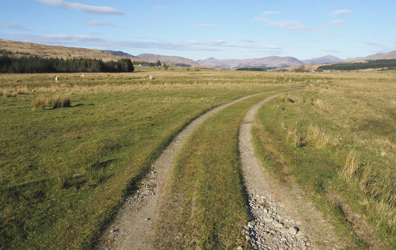
After a further two kilometres of following the vehicle track a wooden post and small cairn marked the point where I was to leave it and re-cross the Water of Tulla. There were only remnants of a bridge but fortunately after a spell of fine weather the water was low and the river was easily crossed.
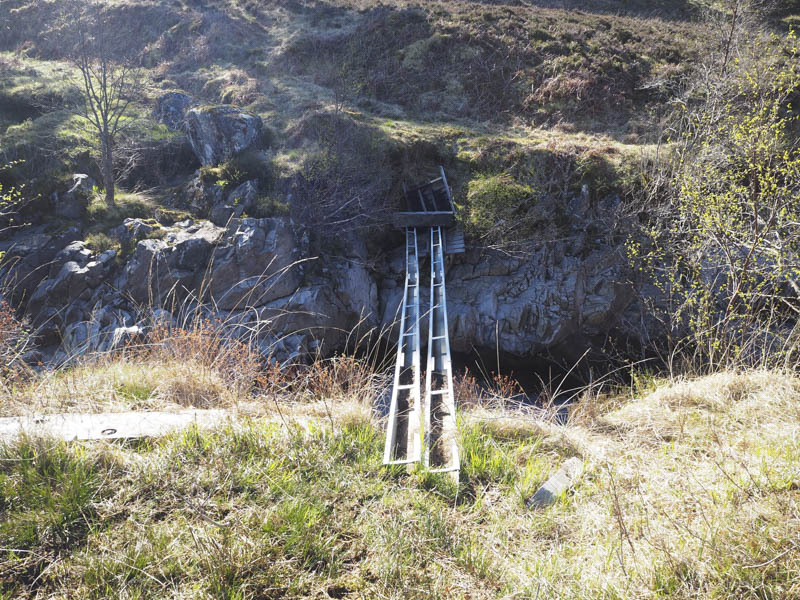
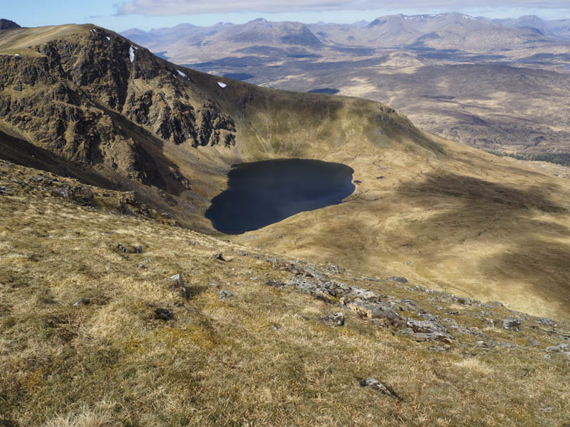
A marked path led to the Fort William/Glasgow rail line where there was a choice of two underpasses. I opted for the taller one and once on the south side walked along the path on the east side of a deer fence. Higher up there was another fenced off area which wasn’t there on my previous visit in 2007. I continued to Lochan a’ Chreachain where I took a break.
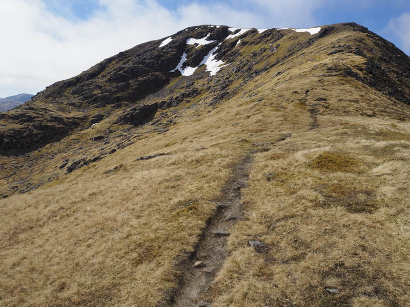
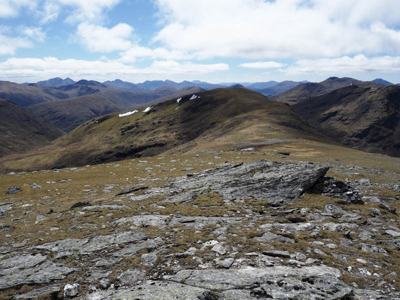
Thereafter I climbed onto Beinn a’ Chreachain’s North-East Ridge as the sun disappeared to be replaced by cloud but fortunately it was above the summit cairn.
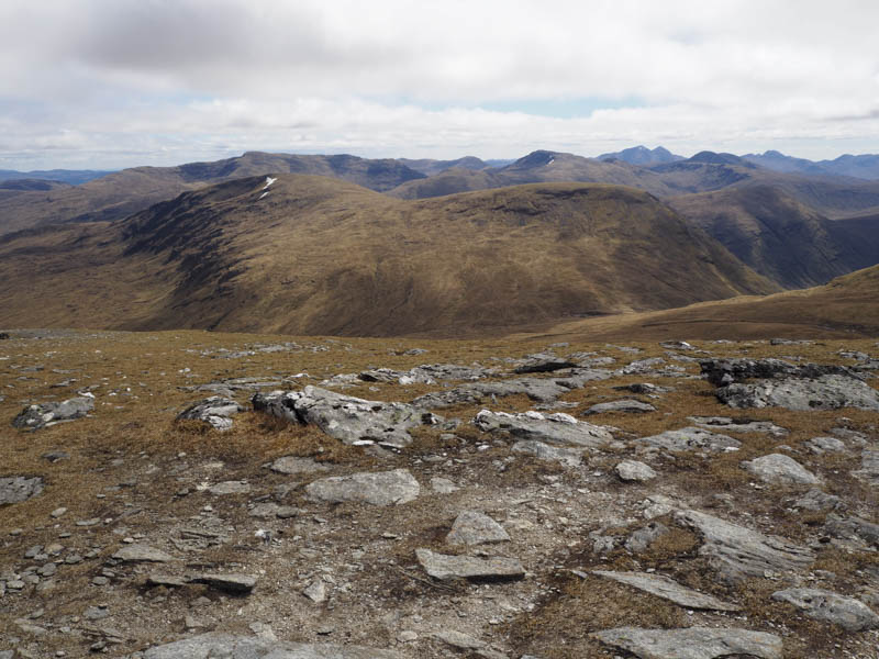
From there I descended west and commenced the ascent of the Munro Top, Meall Buidhe, where I met three chaps who were headed for Beinn a’ Chreachain having come up from the Water of Tulla but through the trees and found the underfoot conditions hard work.
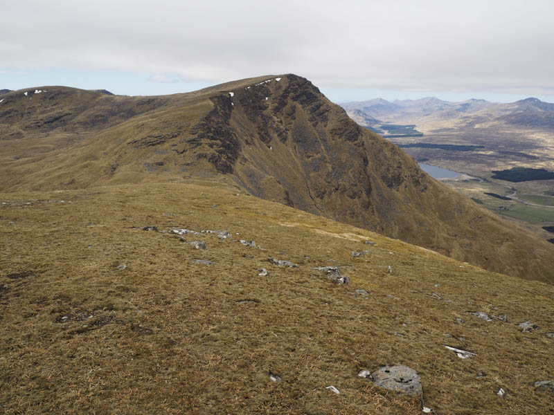
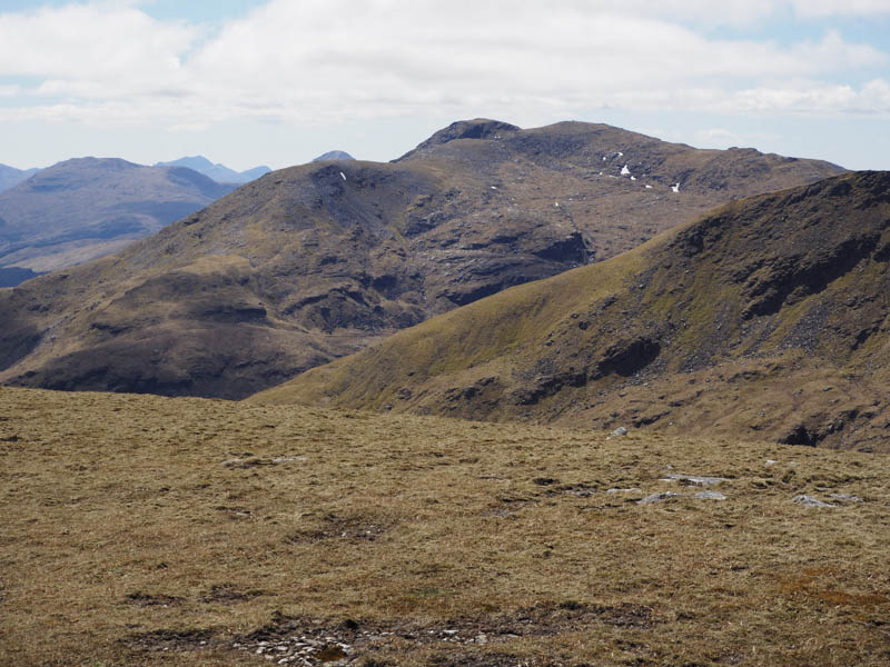
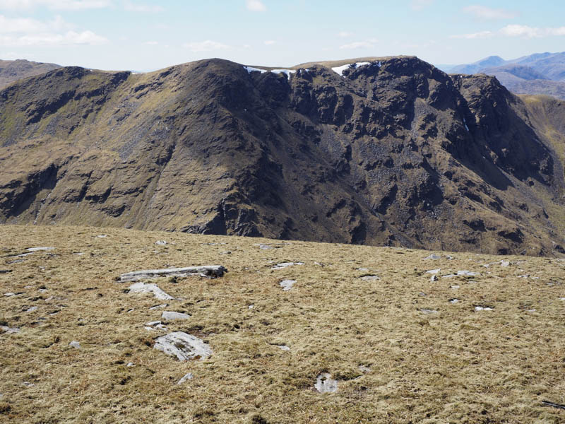
On reaching the cairn marking the summit of Meall Buidhe I descended to the Bealach an Aoghlain then commenced the ascent of Beinn Achaladair. This involved using the path through the rocks with the occasional easy scramble.
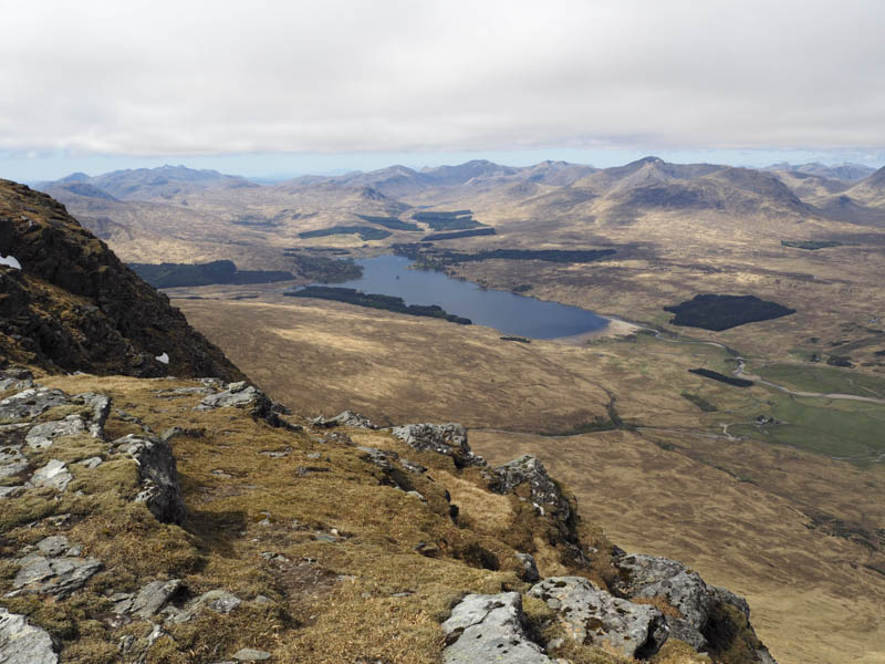
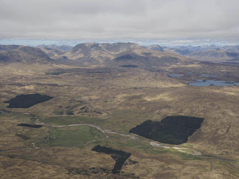
After this Munro it was onto Beinn Achaladair’s South Top, a Munro Top, and as the sun returned there were some good views of Loch Tulla, the Glen Etive and Black Mount Hills as well as Beinn Dorain and Beinn an Dothaidh.
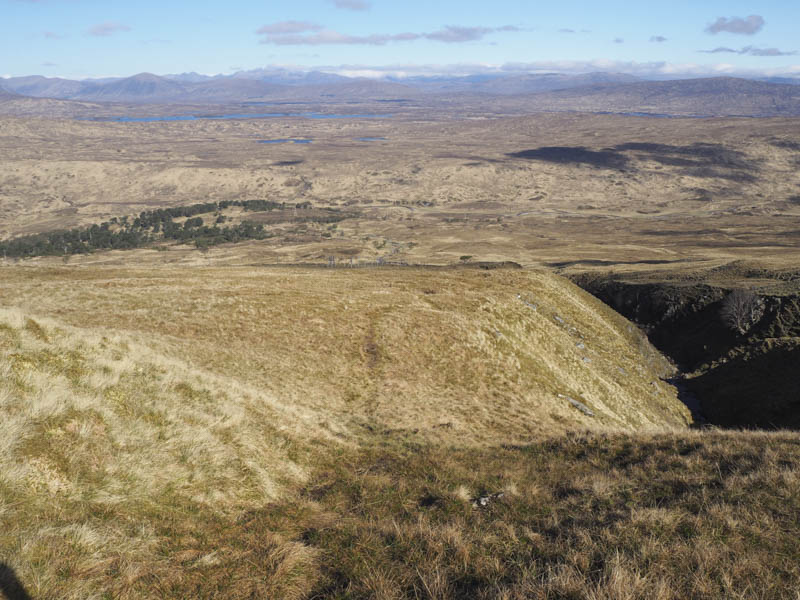
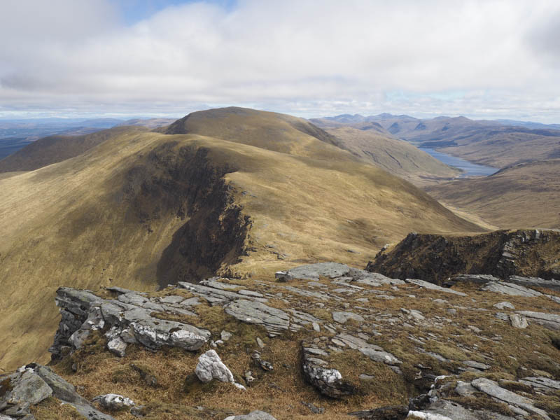
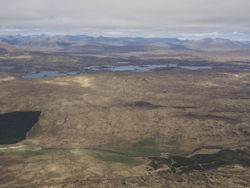
The path was followed south to the head of Coire Daingean. Then it was down through this corrie and Coire Achaladair to the path along the side of the Allt Coire Achaladair which was a lot drier than usual and made for easier progress. The bridge over the railway line was reached then the signed path avoiding the farm led back to the car park which was rather busy.
- Time taken – 7.75 hours.
- Distance – 21.25 kilometres.
- Height climbed – 1340 metres.