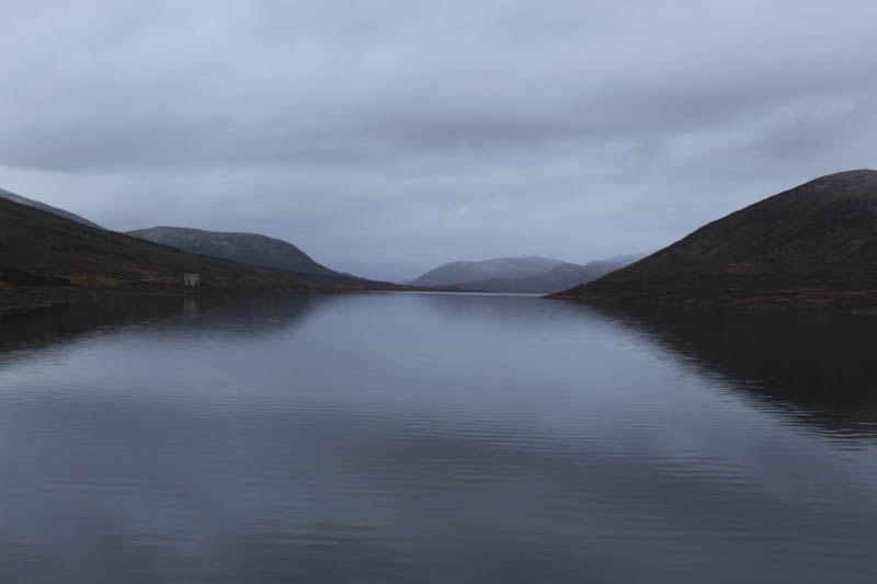
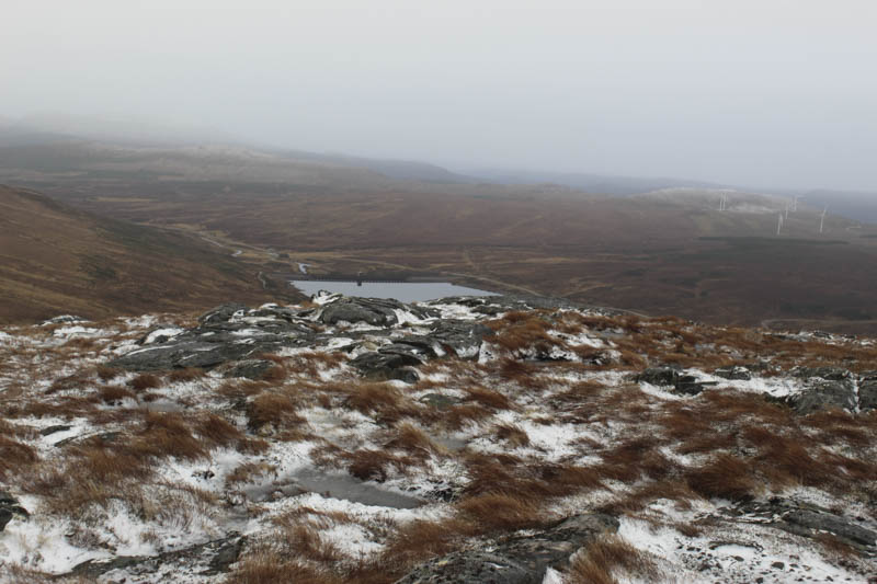
Meall an Torcain – We left my car on the north side of the A835 Inverness to Ullapool Road at the parking area on the south side of Loch Glascarnoch Dam and walked across the dam to the vehicle track on the north side of the loch.
Here there were a couple of gates including a pedestrian one and beyond was a young woodland with the trees in well spaced groups.
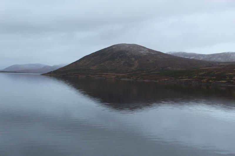
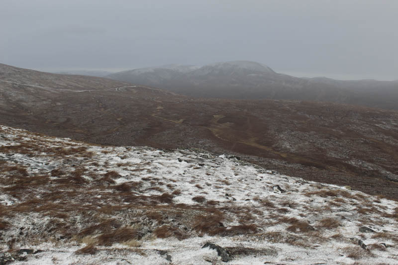
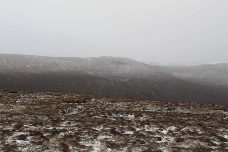
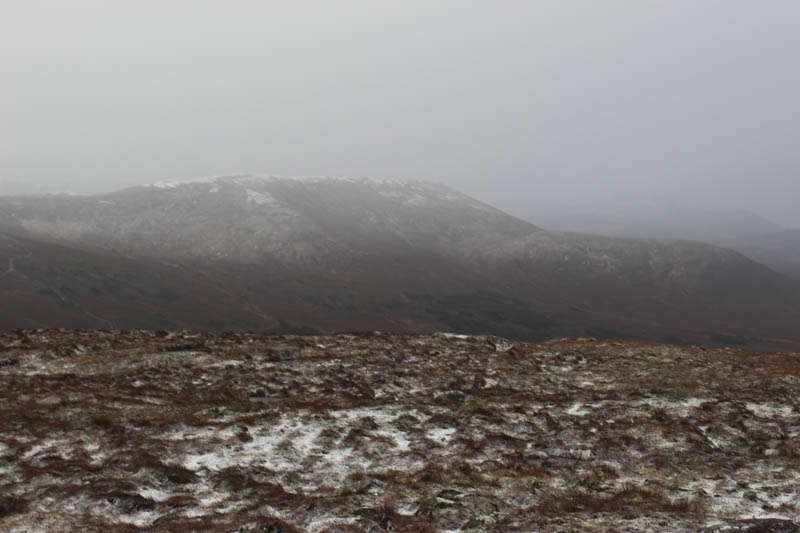
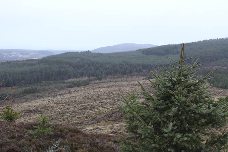
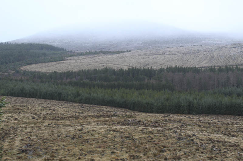
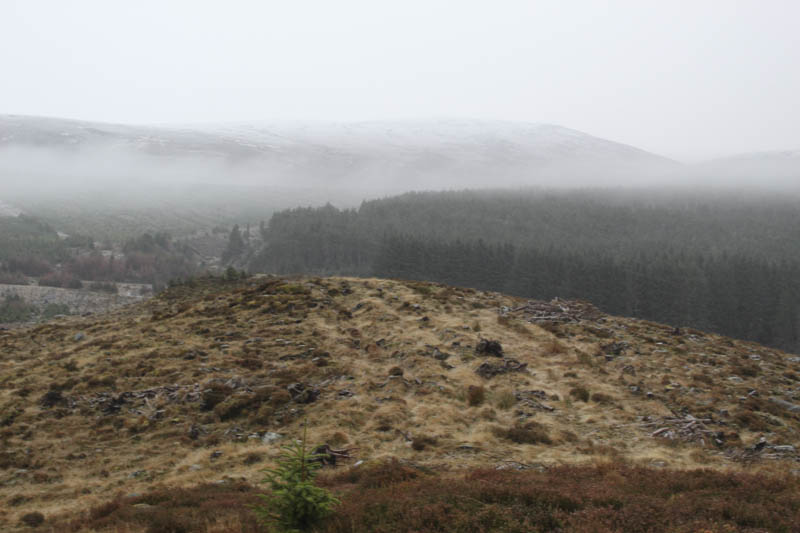
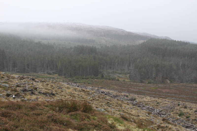
After around two kilometres we came to a second set of gates. The pedestrian one was tied down but the main gate was unlocked with the padlock hanging loose. We left the track here and climbed north mostly through heather and dead grass with a few outcrops to avoid. Prior to reaching the summit of Meall an Torcain it started to snow. The highest point of this Tump appeared to be a cairn on an outcrop but I also visited another cairn and outcrop several metres to the north.
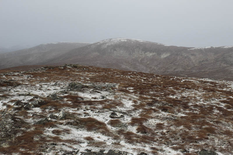
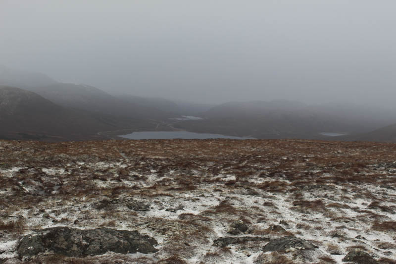
We sat at the summit for a while but despite the snow it was quite pleasant as there was no wind, before returning by the ascent route.
- Time taken 2 hours 55 minutes.
- Distance – 7.25 kilometres.
- Height climbed – 340 metres.
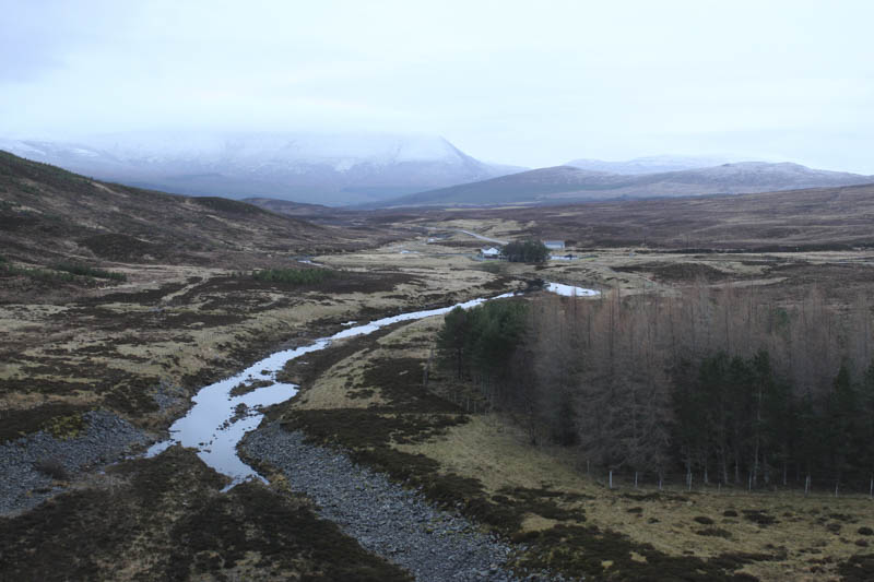
Creagan Bad Each – This hill was on my radar for a few months with the plan to climb it from the A9 south of Inverness but the volume of traffic on this route was a concern. It being Christmas Day I expected to road to be quieter so drove south from Inverness and parked in Lay-By 172.
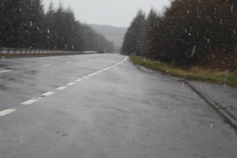
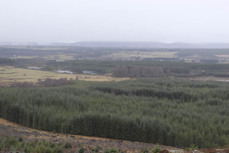
Sleet/snow was falling as I easily negotiated the dual carriageway, crossed a couple of crash barriers and went through some conifers lining the A9. A dip beyond was a bit boggy and here I crossed the Midlairgs Burn then commenced the ascent of Creagan Bad Each. This involved working my way through an area where the trees had been cleared and new ones planted and included numerous drainage channels making for awkward walking. I came across a grassy track but it soon headed off in the wrong direction so I continued onto the summit of this Tump which was marked by an outcrop.
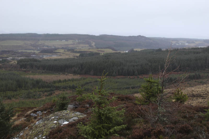
The return was by the upward route although I used the grassy track for a bit longer.
- Time taken – 40 minutes.
- Distance – 1.5 kilometres.
- Height climbed – 45 metres.