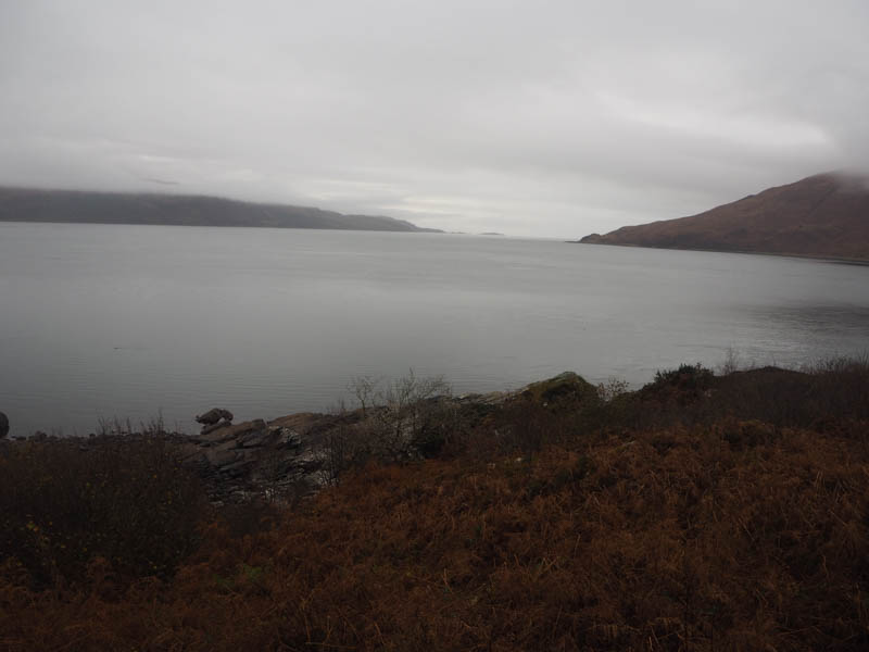
Headed for the Glenelg Ferry crossing point, ferry doesn’t operate during the winter months, accessed from the A87 Bun Loyne to Kyle of Lochalsh Road at Shiel Bridge then over the Bealach Ratagan. I left my vehicle at the side of the minor road just prior to its termination, (there was a small car park beside the cafe further north) with views around Glenelg Bay.
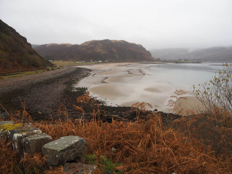
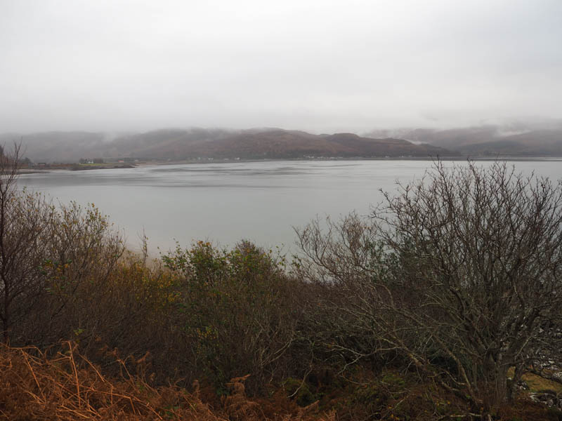
On walking north along the road, I spotted a little used vehicle track that led to a gate in a deer fence. Beyond, there were a few tracks and after following one north-east it disappeared amongst the long grass and heather. Young trees had been planted and there were loads of hollows dug to retain water. This made for awkward walking and slow progress. High up a deer fence appeared out of the low cloud which had to be crossed to reach the summit of Druim na Leitire. The highest point of this Tump was just some vegetation.
Thereafter I briefly walked along the north ridge before descending west to east of a mature forest then south until I came across the deer fence again. I opted not to cross it but followed it west through the birch woodland. This was quite tricky as it was rather steep but eventually reached the coastal path above Kyle Rhea.
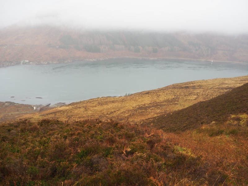
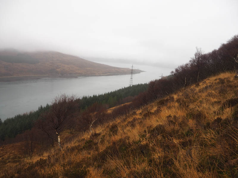
It was then a short walk south to the start of the minor road and a bit further back to my car..
- Time taken – 2 hours 15 minutes.
- Distance 4 kilometres.
- Height climbed 265 metres.