I’ve climbed several hills around Whitebridge, on the east side of Loch Ness, but never driven as far as Garrogie to the south-east, reached from the B862 south of the village. On my arrival at the bridge over the River Fecklin I noted that it was private and that the road down the east side of Loch Killin was closed off contrary to my map which showed the minor road continued until opposite Killin Lodge. Obviously the local authority no longer takes responsibility for this section of roadway.
Anyway I found a spot to leave my car amongst the camper vans and crossed the road bridge then headed north along a tarred road towards Garrogie Lodge. Prior to reaching this property I left the tarred road and walked south-east on an estate track passing a steading, an old house and through a couple of gates. At a junction of tracks, neither on my map, I went left with a steep climb east to another gate. Beyond, the gradient eased and the track later disappeared amongst the vegetation. I then climbed south-east, using a few grassy rakes in the heather and onto the west ridge of Carn Liath-bhaid. Some droplets of rain blowing through in the wind became heavier and the cloud lowered onto the nearby summits as I reached the summit of this Graham Top, a cairn on an outcrop.
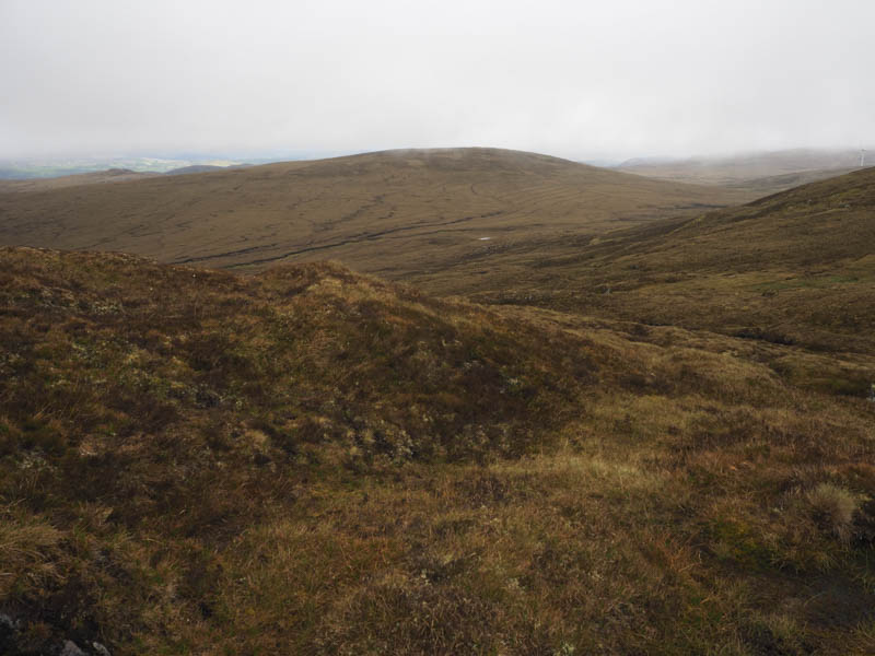
The cloud was clearing the tops as I initially descended east before turning north through boggy ground and ascending Carn Fliuch-bhaid. The highest point of this Graham Top was a vegetated rock.
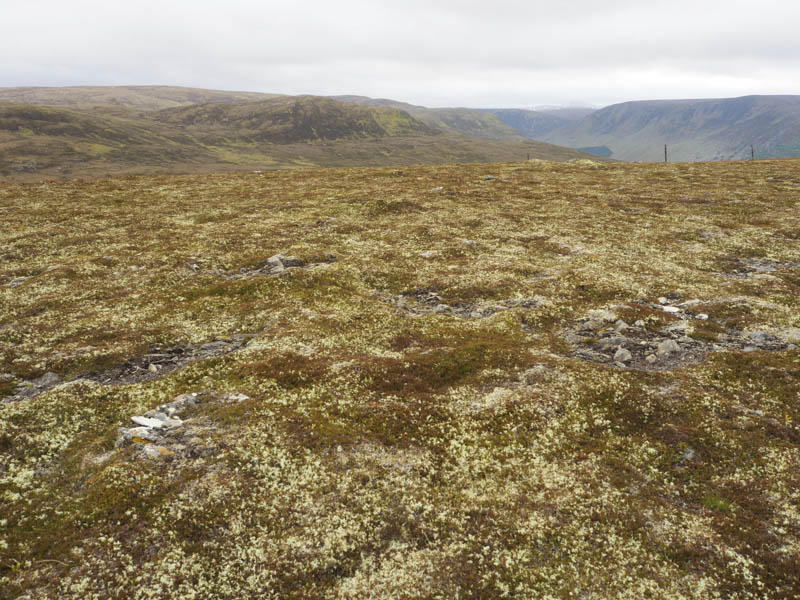
From here I descended steeply north-west, avoiding a few peat hags and following old fence posts then climbed to the rocky summit of the Tump, Carn Suidhe Ghoiril, marked by an outcrop.
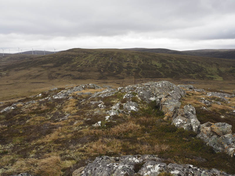
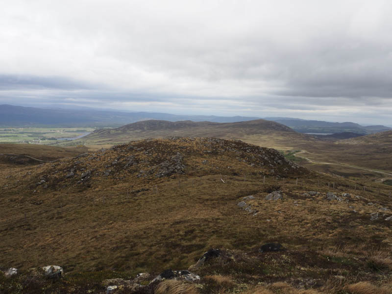
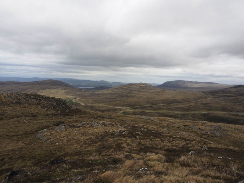
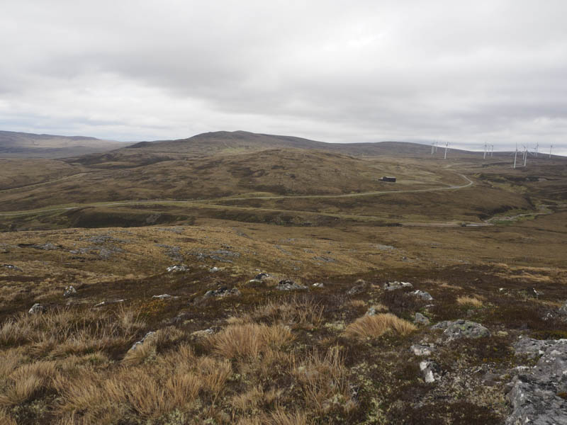
The descent west and to the north of Carn Ruigh na Creadha led to two electric fences. I didn’t plan to test them to ascertain if they were live or not so crawled under the first one which consisted of two wire strands and used my plastic survival bag to cover the top electric wire on the stock fence. I then joined a wide hardcore vehicle track, which didn’t appear to have a purpose, and ended just below the summit of Carn Doire nan Aighean. I then made the short climb to the cairn marking the highpoint of this Sub Dodd.
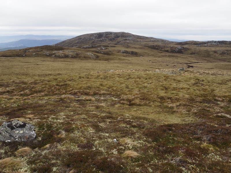
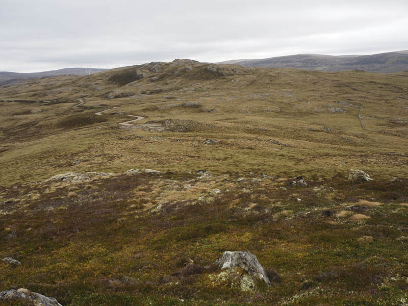
I descended south-east to a stock gate and twin electric fence gates. Once through them I climbed east onto the Graham Top, Carn Ruigh na Creadha. The highest point was a tall boulder.
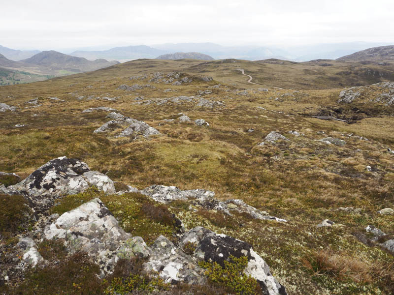
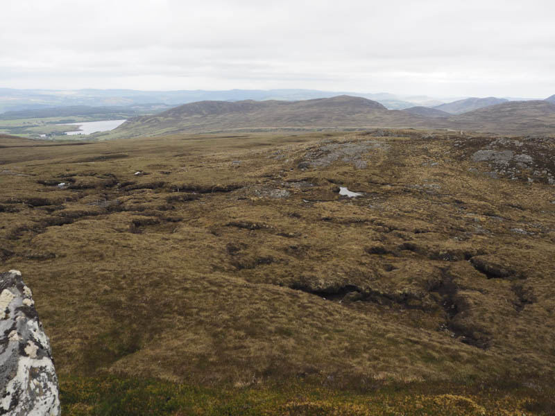
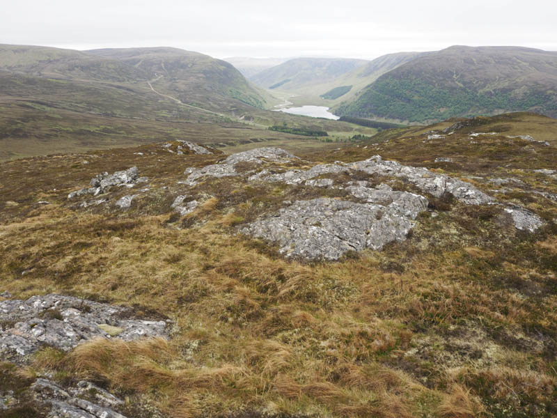
On the descent south-west then south I came across the gamekeeper who appeared to be crisscrossing the hillside collecting discarded antlers. I did say hi but I don’t think he replied. Maybe he wasn’t happy at my presence especially as an antler found earlier was sticking out of my sack. Anyway I headed for the old house and steading and on reaching them retraced my route back to the start.
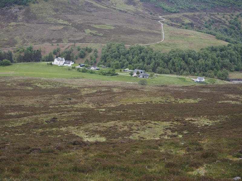
- Time taken – 4.75 hours.
- Distance – 12.25 kilometres.
- Height climbed – 650 metres.