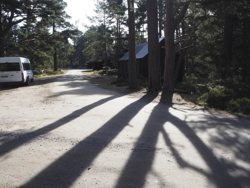
I drove to Forest Lodge, accessed from the minor road to the south of Nethy Bridge, then it was along a rough vehicle track to the parking areas.
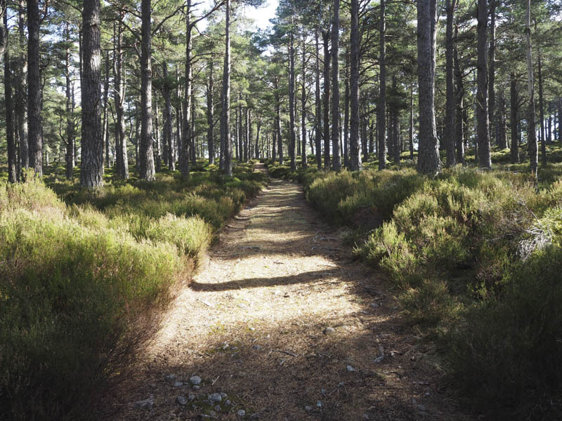
I walked north-east along a forest track before heading south-east to cross the bridge over the River Nethy. I located the path that continued through the Caledonian Pine Trees initially in a south-easterly direction before turning south.
After a couple of kilometres I emerged from the trees onto a vehicle track that headed east below Carn a’ Chnuic. This track gradually gained a bit of height and near its high point I left it and commenced the ascent of this Hump.
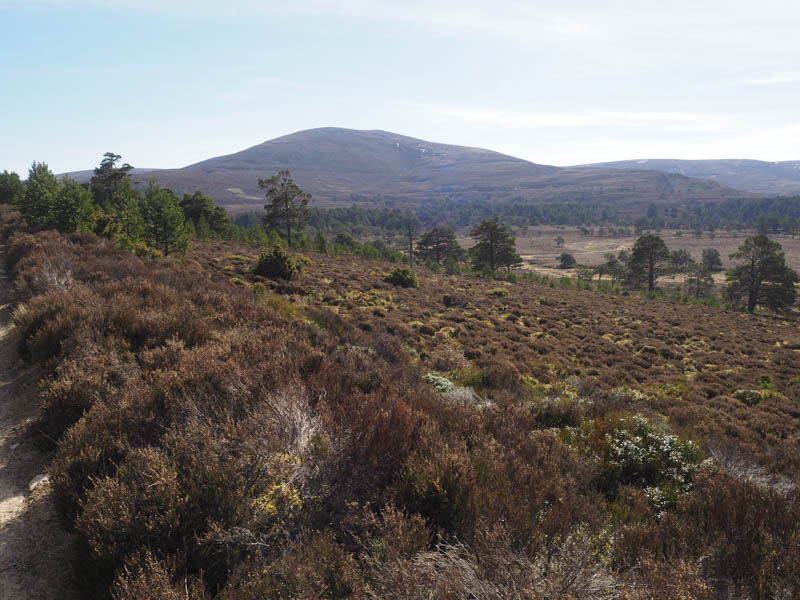
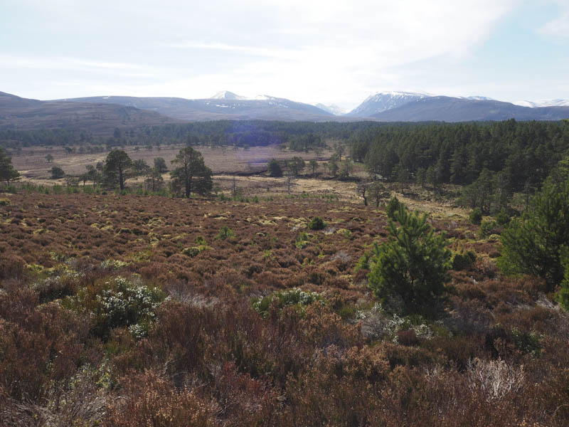
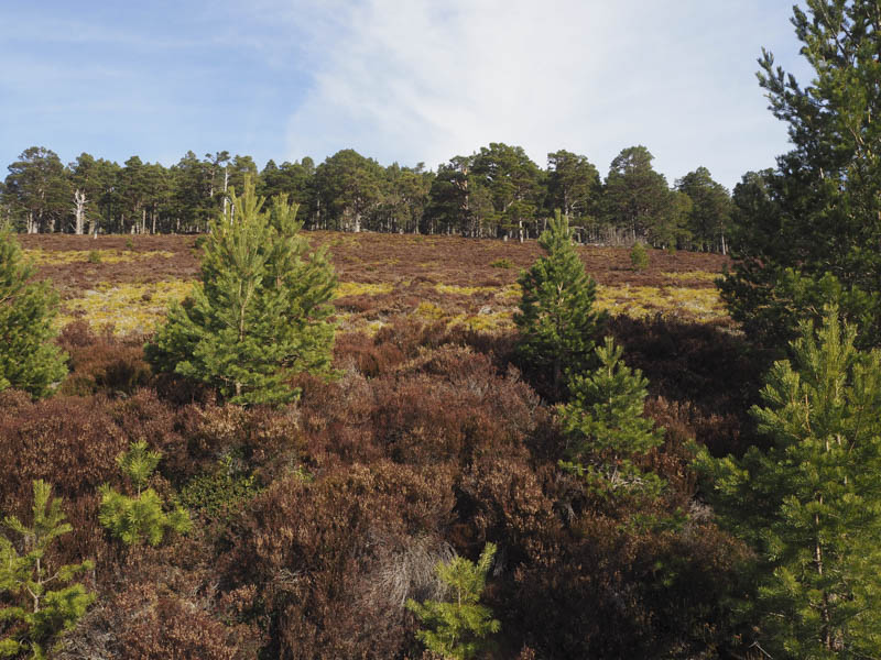
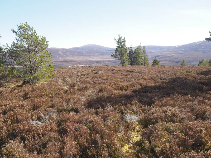
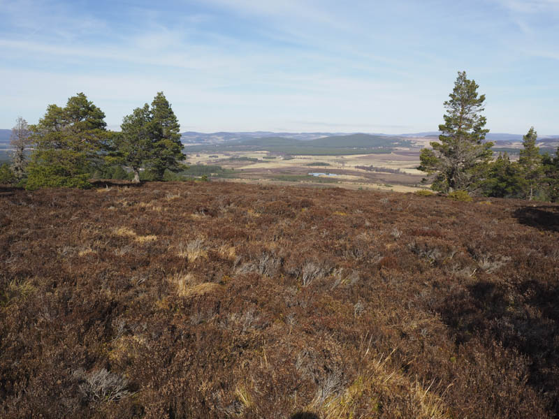
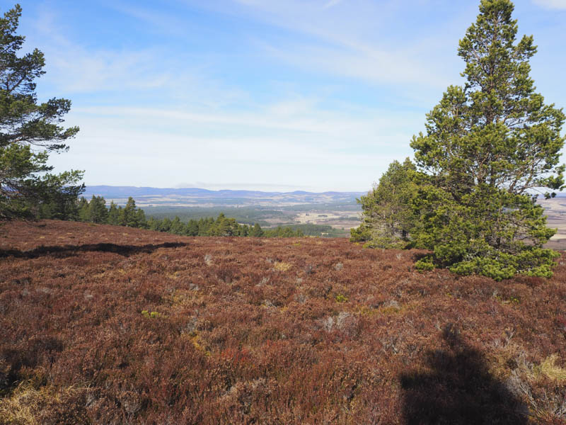
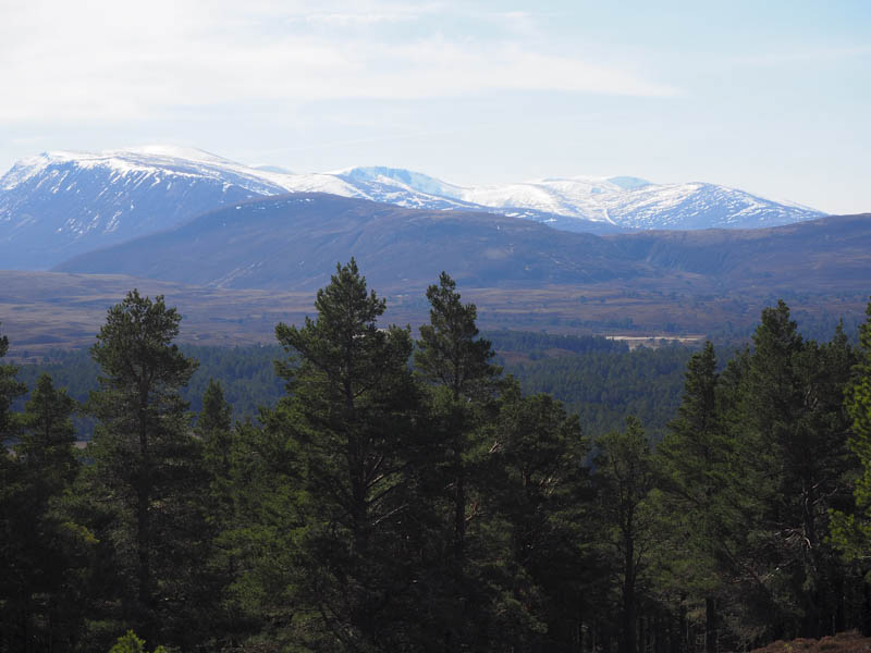
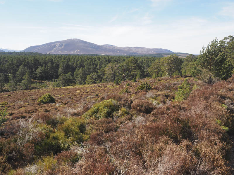
Initially it was through long heather then I entered more pine trees avoiding the fallen ones and broken branches. On approaching the summit of Carn a’ Chnuic there were fewer trees and more long heather but this allowed me some views of the surrounding countryside and mountains from its summit which was marked by a couple of boulders.
The return was by the upward route.
- Time taken – 2.75 hours.
- Distance – 9.75 kilometres.
- Height climbed – 285 metres.