Beauty Hill – This Tump was located north-east of Newmachar. I parked at the entrance to the old golfing range, west of Braeside of Balnakettle, crossed a double gate and walked south-east along a vehicle track running between two stubble fields. This led to a stock gate and a grassy field with cattle in the far corner although they didn’t approach me as I crossed the field to another stock gate.
Once beyond this gate there was a slight dip in the field before I headed to the trig point then onto the summit of Beauty Hill. I visited a couple of grassy knolls as I wasn’t able to tell which was the highest. The return was by the approach route.
Turaraich – I left my car at the side of the minor road, east of Slack o’ Causeway, north of Fyvie, and walked back down the road to opposite this cottage then south passed a ruin. The vehicle track continued south-east through the woods of Foss Bares.
I later came across a path which descended south to a wooden footbridge. I then crossed some wet ground followed by a steady climb through well spaced trees to the vehicle track west of Little Gourdas. On the other side of the track there was an area where game birds were reared so I wandered through the long vegetation visiting what appeared to be the highest points. I then returned to the vehicle track and walked slightly west as I was of the opinion that the actual summit of this Tump was at the side of the track. I then retraced my route.
Greeness Hill – This Tump was located south-east of Turriff. I parked at the side of the minor road south-west of Hillside and walked in that direction along a wet and muddy vehicle track. Beyond a gate into a field the continuation of the track was little used later turning south-east before joining a forest track. This led to a gate beside Bogside Farm. Just beyond the gate I left the track and walked north-east along a firebreak then north-west along a second firebreak which took me towards the summit of Greeness Hill.
The firebreak came to an end so there was little option other than to work my way through the closely spaced fir trees with numerous water filled hollows to what the GPS indicated was the summit although there was nothing around to confirm this.
I read about another highpoint for this Tump so headed through the closely spaced fir trees to this point before returning to the firebreak then to the start by the approach route.
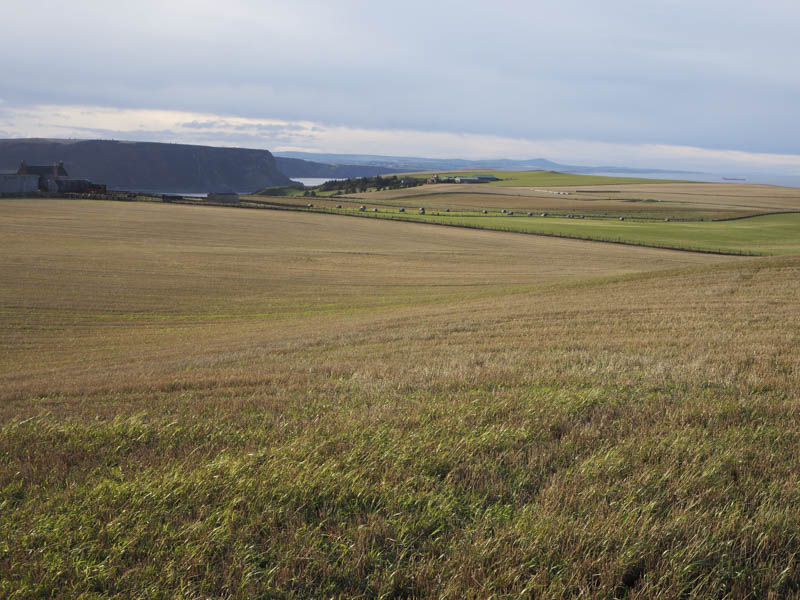
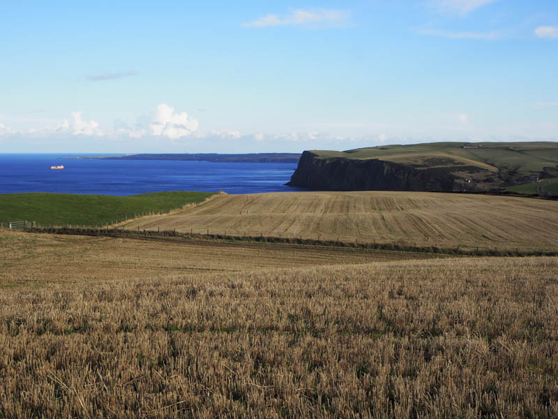
Northfield Law – This hill was located north-east of Gardenstown. I left my vehicle in the Cullykhan Car Park and walked along the vehicle track to Broomybrae Wood and Troup Home Farm. I then headed towards Troup House but the vehicle track was taking me away from my destination. I therefore left the track and walked through well spaced trees before descending to and crossing Jacobshall Burn.
I then climbed an embankment, went through more trees and wild vegetation, before crossing the Troup Burn. Some additional ascent took me to a field, protected by an electric fence, as it contained a horse. I walked round this field before entering a stubble field and climbing to the summit of the uncategorised Northfield Law visiting both knolls.
I then returned through this field and walked east along the edge of another stubble field looking for an easier route back to the car park. However there were lots of gorse bushes on the other side of the stock fence.
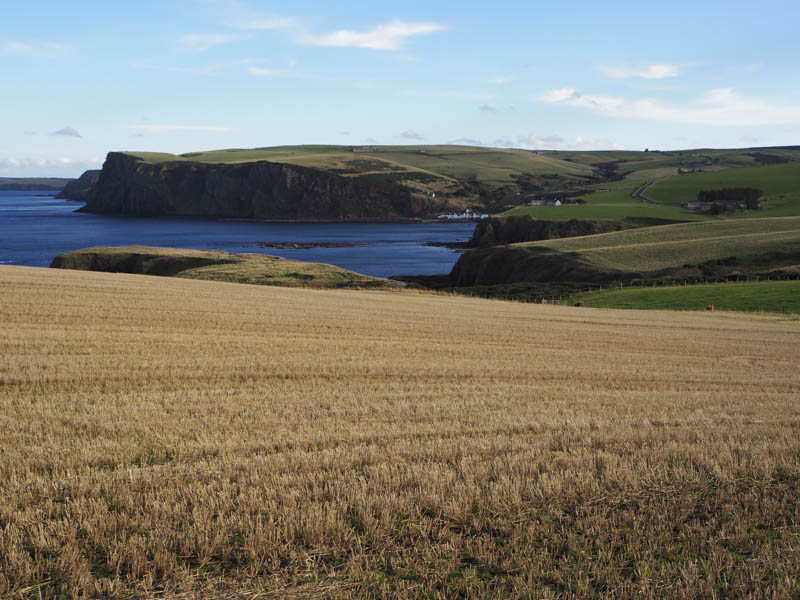
I went as far as the Gamekeepers House, worked by way round this property then through part of its grounds before locating the vehicle track that took me back to the start.
- Total time – 3.75 hours.
- Total distance – 12.5 kilometres.
- Total height climbed – 310 metres.