A windy day was forecasted with some blustery showers and these were the conditions I encountered when I parked beside the bridge over the Allt Beag, located on the minor road connecting the B851 near Newton of Farr in Strath Nairn to the unclassified road in Strath Dearn.
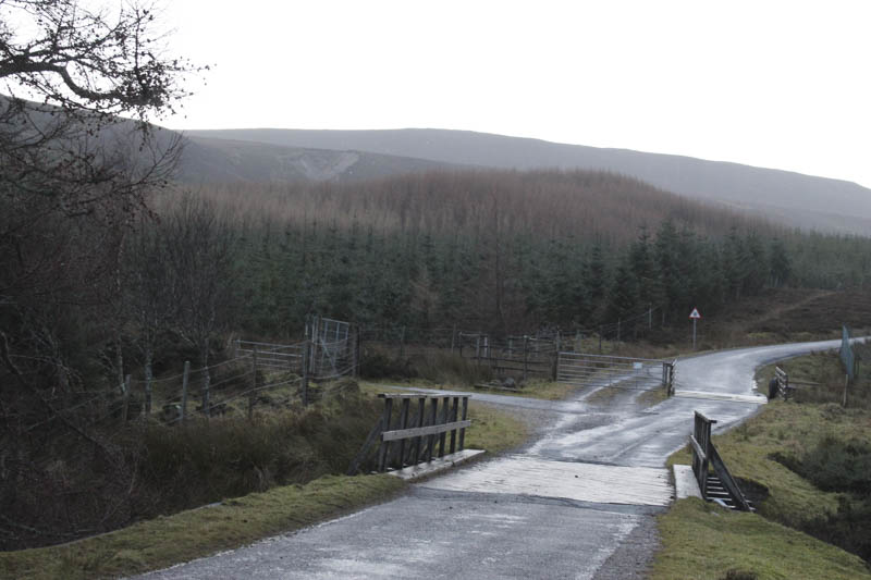
On the south side of this bridge I passed through a pedestrian gate giving access to an old vehicle track which headed north-east through young trees which protected me from the wind.
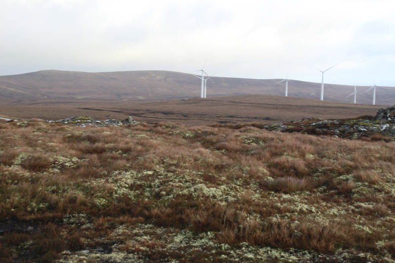
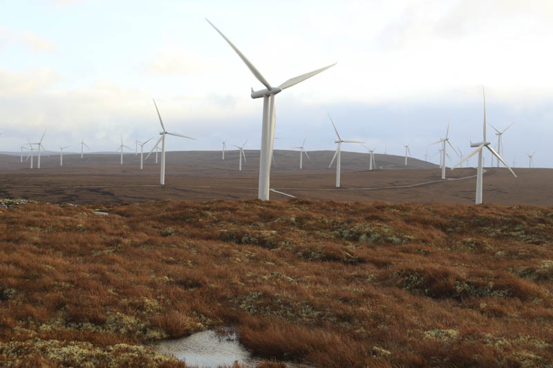
The track later joined a wide vehicle track near a junction of tracks used in connection with nearby wind farms and their power stations. Here I headed north-east the track later turning north before swinging round to the east and to the upper tree line where multiple gates gave access to Farr and Glen Kyllachy Wind Farms.
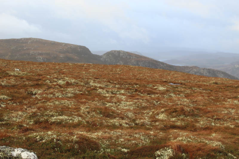
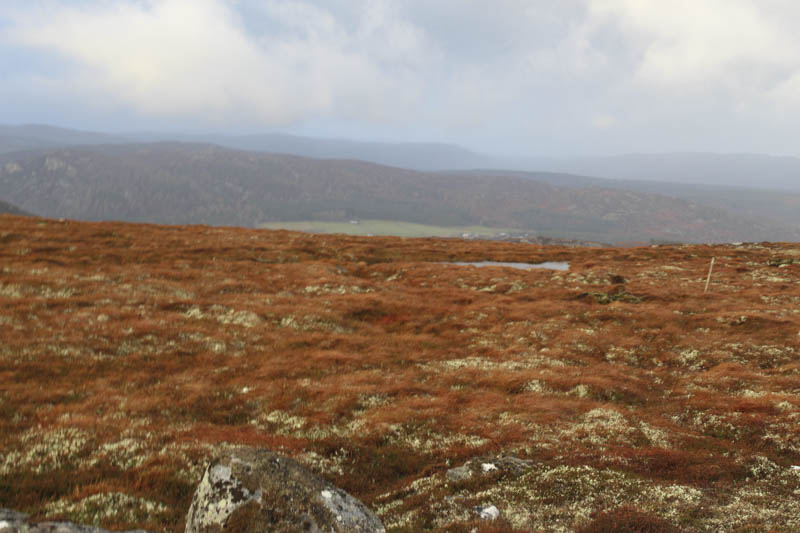
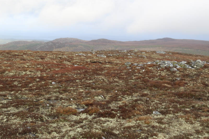
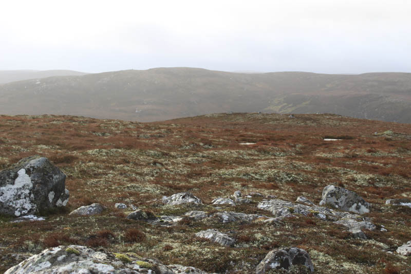
The vehicle track continued round the east side of Carn Dearg and I was now exposed to the windy conditions, not as bad as forecasted but still involved some buffeting. There were also a few blustery showers and the occasional sunny spell. I continued along the track passing a couple of wind turbines and when directly east of Beinn Bhreac I left the track and walked through some heather for just over 200 metres to a small knoll. It appeared to possibly be the highest point of this Tump although I also visited a nearby rock and cairn.
It was rather windy here so I didn’t linger long returning to my car by the approach route.
- Time taken – 2.25 hours.
- Distance – 7.75 kilometres.
- Height climbed – 285 metres.