Egnaig Hill and Cruach Bairness – Left my car in a large parking area in Glen Uig, on the east side of the A861 Lochailort to Ardmolich Road, north of Bealach Corach. (NM66917539) Crossed the road, went through some trees and into rough vegetation including tussocks, bog myrtle and heather. There were also some holes for tree planting, but only a few young trees around and they were stunted or dead.
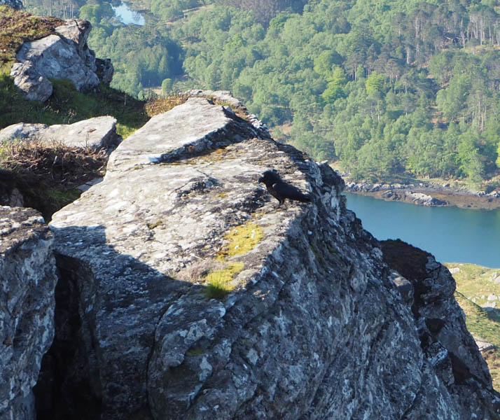
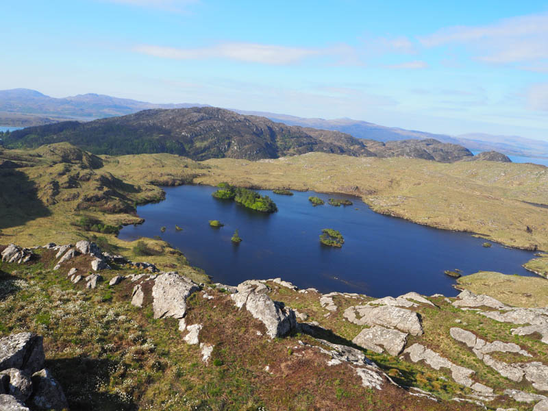
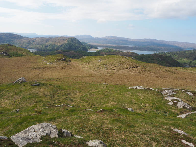
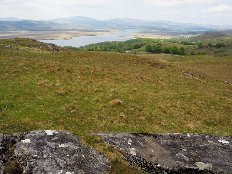
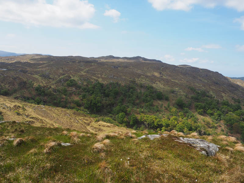
The summit of the Hump, Egnaig Hill, was reached, an outcrop the highest point. A couple of ravens weren’t happy with my presence, were noisy and flying around.
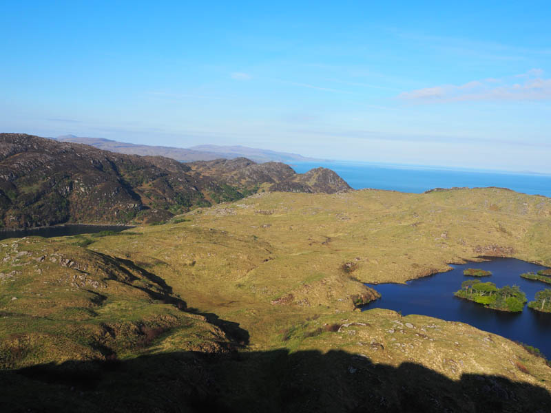
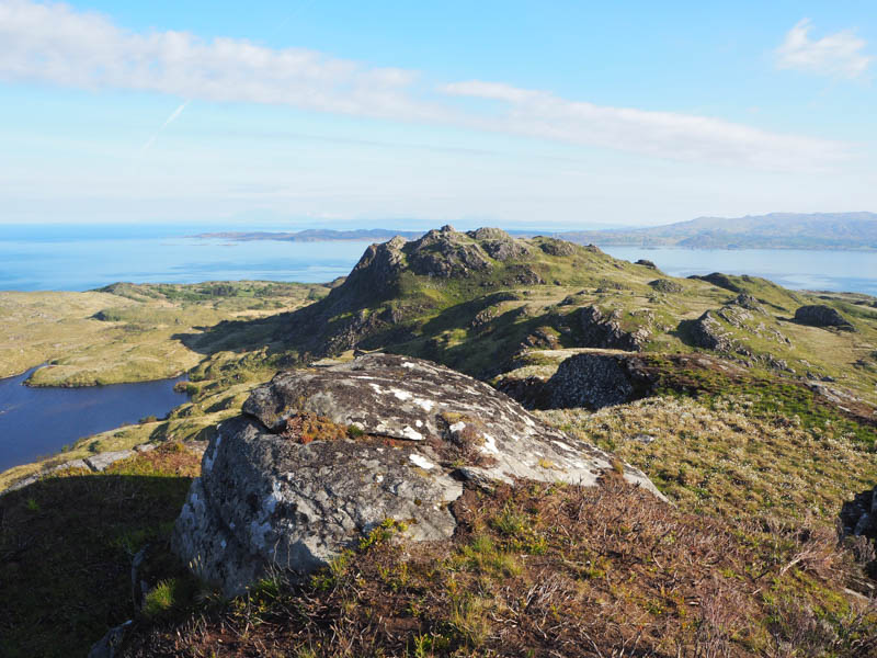
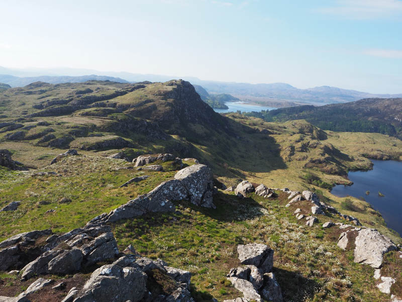
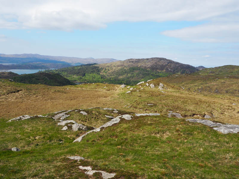
Didn’t linger and descended north, a few rocky areas, as was the case on the ascent of Cruach Bairness. The highest point of this Tump was an outcrop.
Descended south-east through similar underfoot conditions as for the ascent of Egnaig Hill with some undulations and back to the car.
- Time taken – 1 hour 55 mins.
- Distance – 3.25 kilometres.
- Ascent – 215 metres.
Cruach na Cuilidh Moire – Moved car a short distance south to the parking area for the war memorial immediately south of Bealach Corach. (NM66957508)
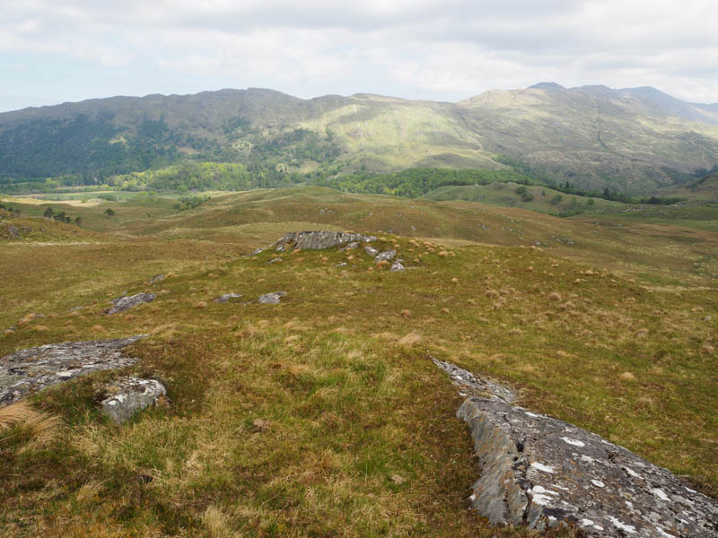
Crossed the road and climbed steeply east through trees, bracken and crags and onto the summit of the Tump, Cruach na Cuilidh Moire. Visited a couple of highpoints but a vegetated outcrop appeared highest.
The return was by the upward route.
- Time taken – 40 mins.
- Distance – 600 metres.
- Ascent – 35 metres.
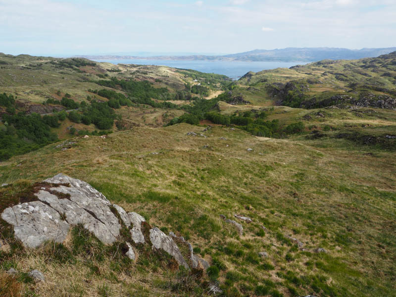
Cruach an t-Aon Bhlair – Left the car in a picnic area, single wooden table, on the A861 Ardmolich to Acharacle Road east of the minor road to Dail an Leigh. Walked a few metres north to a stock gate with a single strand electric wire on either side.
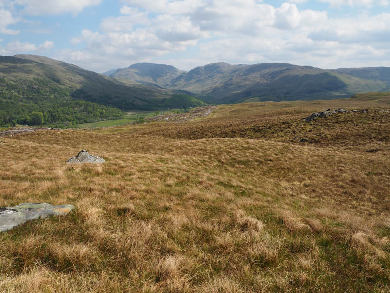
Once through this gate it was onto some rough grazing with evidence of cattle, although never spotted any. An easy walk led to the summit of Cruach an t-Aon Bhlair, the highest point of this Tump was just some vegetation.
Returned by the ascent route.
- Time taken – 20 mins.
- Distance – 1.25 kilometres.
- Ascent – 60 metres.
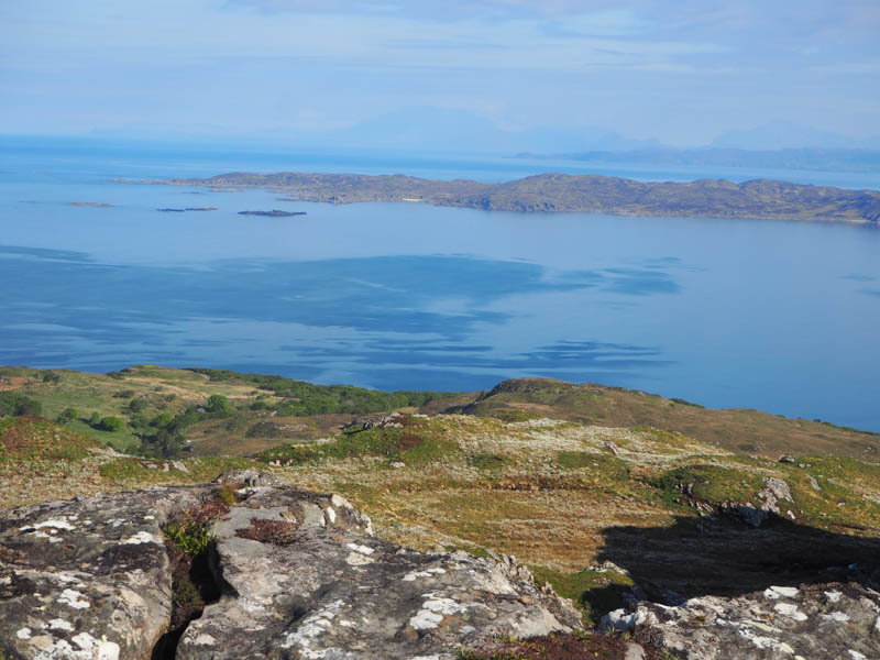
Aird Molach and Meall an Aoil – On the west side of Drynie Hill on the A861 south of Ardmolich, a new deer fence and entrance had been created after forestry operations in Ardmolich Wood.
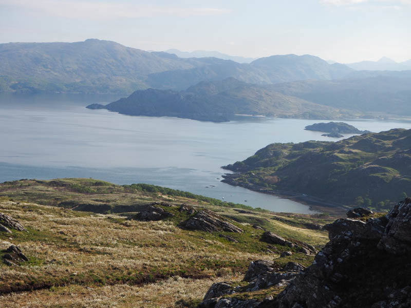
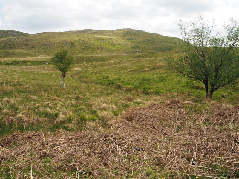
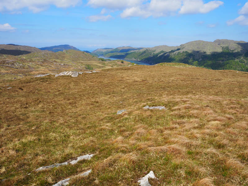
Left the car beside this new entrance (NM71557140) and crossed the cattle grid to enter the mainly cleared forest area. Immediately went left and followed the forest track SSE before it swung round to the north-west. This led to a padlocked gate in the new deer fence. (NM71407119) Once across wooden slats at the side of the gate it was onto the open hillside with reasonable underfoot conditions, heather and grass, and onto the summit of the Tump, Aird Molach. The highest point was just some vegetation.
Continued west soon walking along the edge of the deer fence with a short steep drop. On reaching a point just north of Lochan Fheith Dhuinn there was a water trench, contained lilies, running into the loch. It was too deep and wide to cross which meant climbing over the deer fence twice to get round this obstacle before ascending Meall an Aoil. There were two outcrops to choose from, couldn’t tell which was highest.
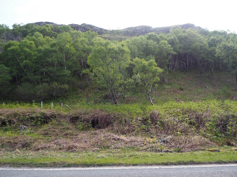
Descended south-east, crossed the deer fence, and re-entered Ardmolich Wood. Headed east, initially just some rough vegetation but soon came across the brash making for difficult underfoot conditions. Eventually reached an old track which later joined a new track back to the cattle grid and the end of the day’s Tump bagging.
- Time taken – 2 hours 25 mins.
- Distance – 4.75 kilometres.
- Ascent – 240 metres.