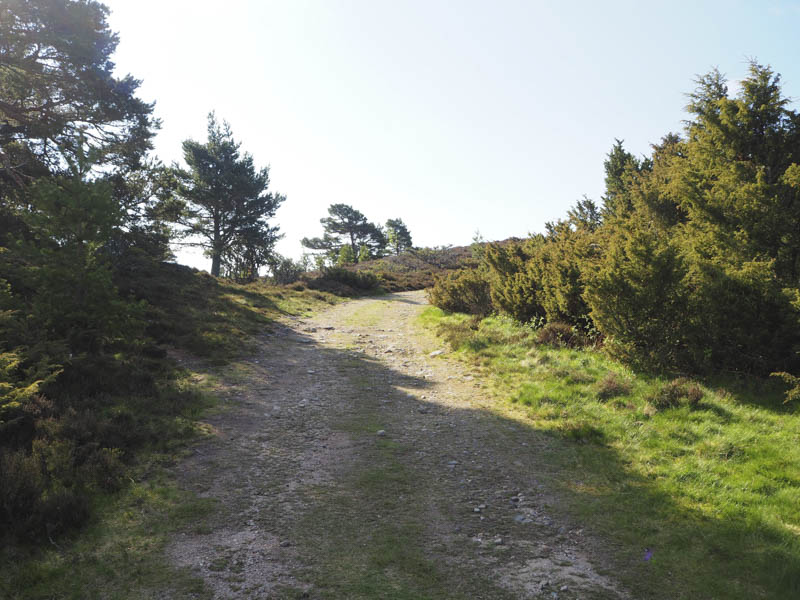
Carn nan Grainnseag, Garbh-mheall Mor and Carn Sleamhuinn – From the village of Carrbridge I drove south-west along a minor road to its end at Dalnahaitnach where there was a sandy rocky parking area. I then walked south along a vehicle track through heather and a few pine trees.
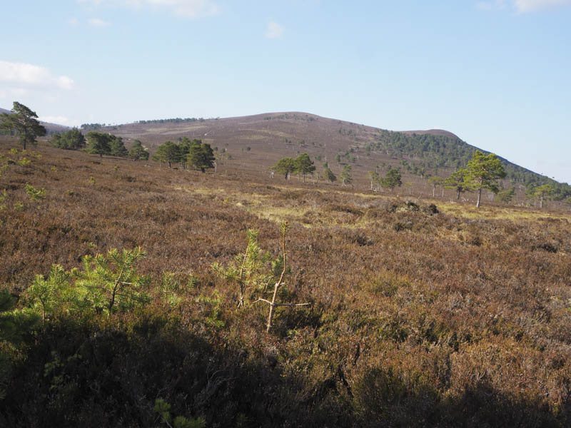
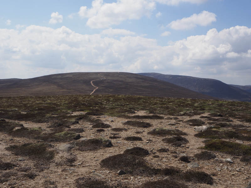
On approaching the crossing of the Allt an t-Slugain Dhuibh I followed an ATV track onto the south ridge of Carn nan Grainnseag which ended just short of the summit of this Tump and was unmarked.
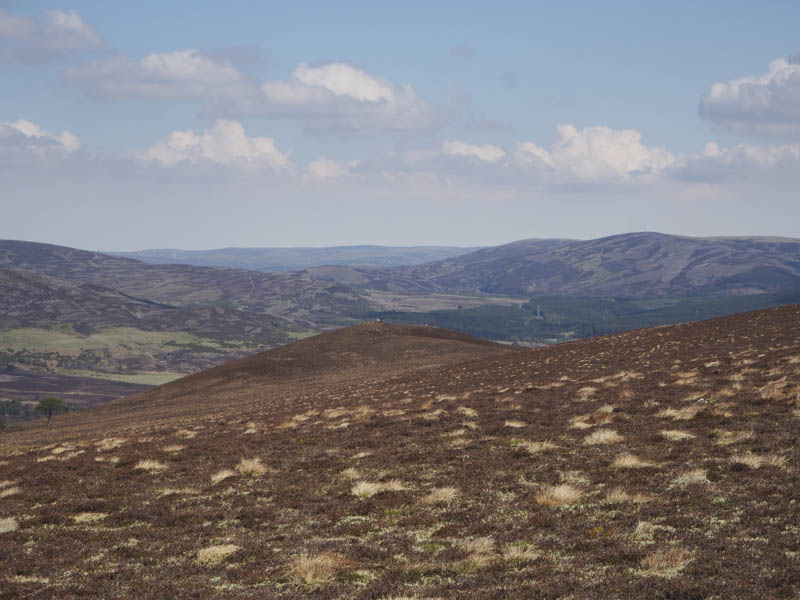
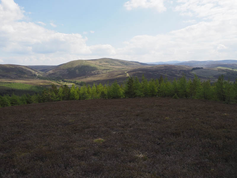
After a break sitting in the sun with a pleasant breeze I descended to the wet col with Garbh-mheall Mor then climbed through heather to the summit of this Tump marked by a cairn.
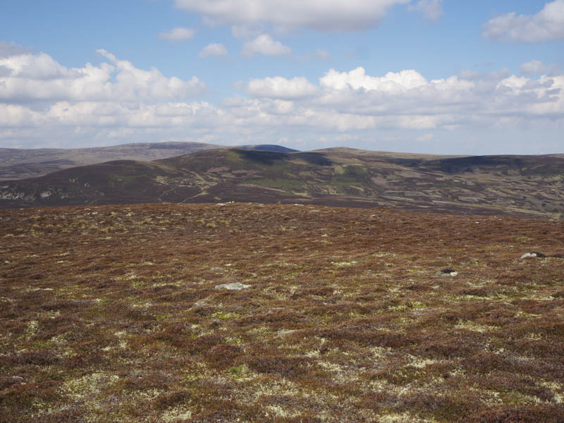
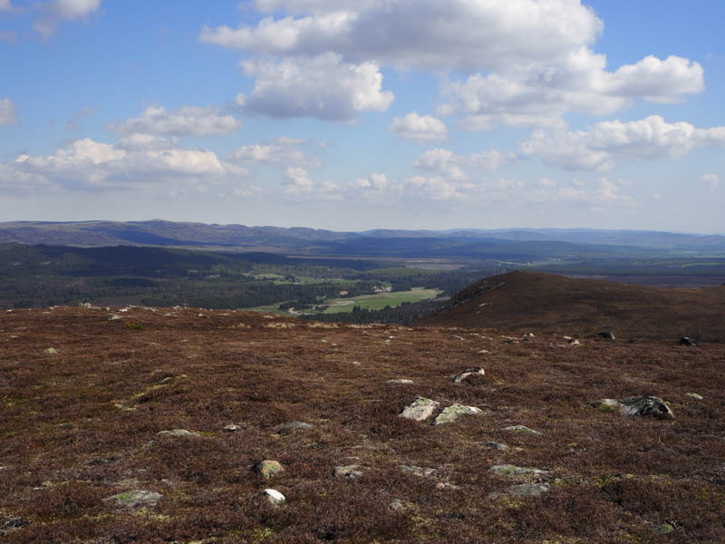
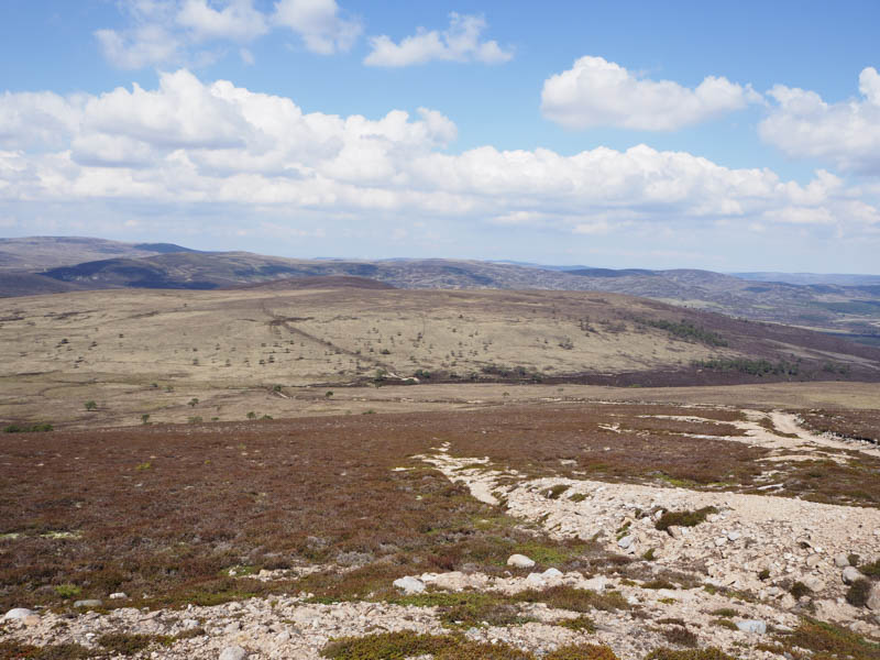
I then descended south-east over the south ridge of Carn nan Grainnseag and through shortish heather to the vehicle track beside the Allt an t-Slugain Dhuibh.
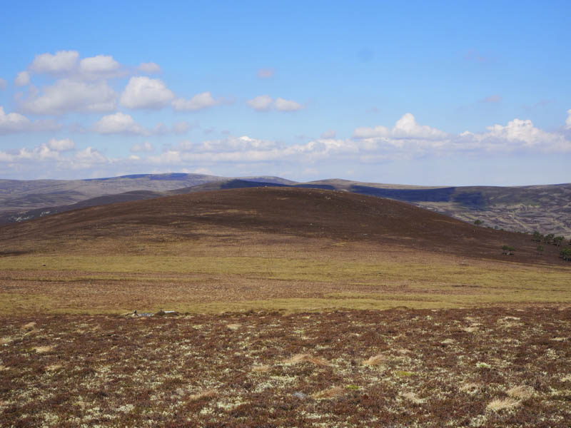
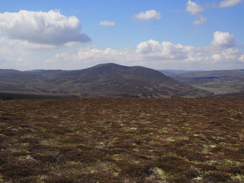
This track was followed south-east then south on a steady gradient to just west of Carn Sleamhuinn. It was then an easy walk across short heather to the cairn marking the summit of this Sub Simm.
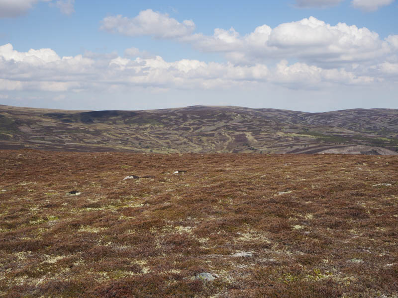
On returning to the vehicle track I followed it back to the start.
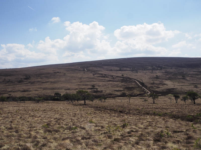
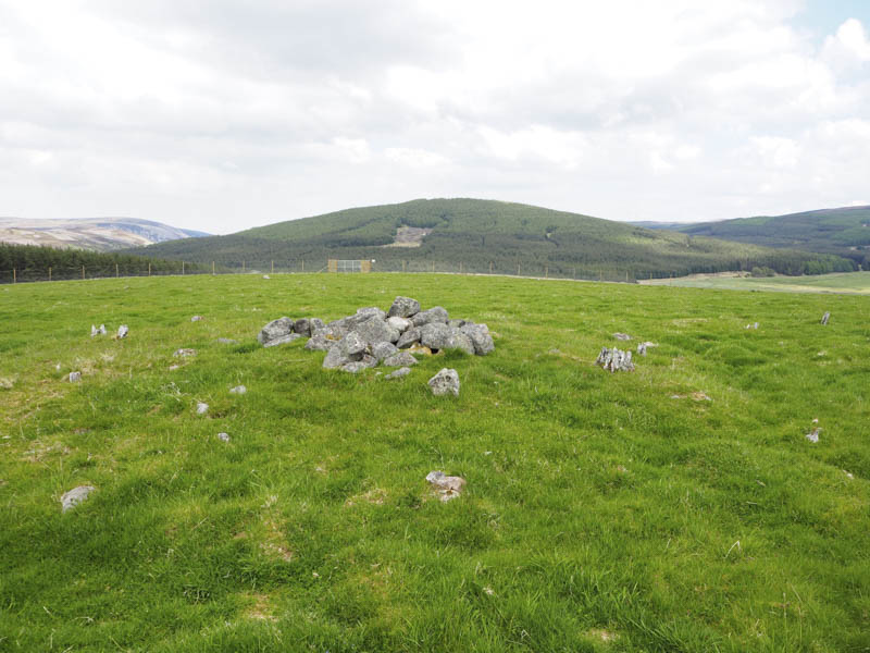
Druim an Tuirc – This hill was located north-east of Tomatin and the A9 Inverness to Perth Road. I parked on the east side of the bridge over the Allt Bruachaig, just north of Inverbrough Lodge on the Balvraid Road. (NH816304) I walked across the bridge then north on a vehicle track to beyond a copse of trees. Here I crossed a stock fence and a grassy field to reach a pile of stones which marked the highpoint of this Tump.
The descent south-west round the trees took me to a gate in the stock fence then I followed the vehicle track back to the start.
Tom a’ Ghealagaidh – I drove to the end of the public road at Balvraid with the intention of parking at the start of the access road to Balvraid Lodge. However since my previous visit in November 2020 a no parking sign was displayed on the area of rough ground. I was therefore forced to park at a track entrance some 600 metres to the south-west.
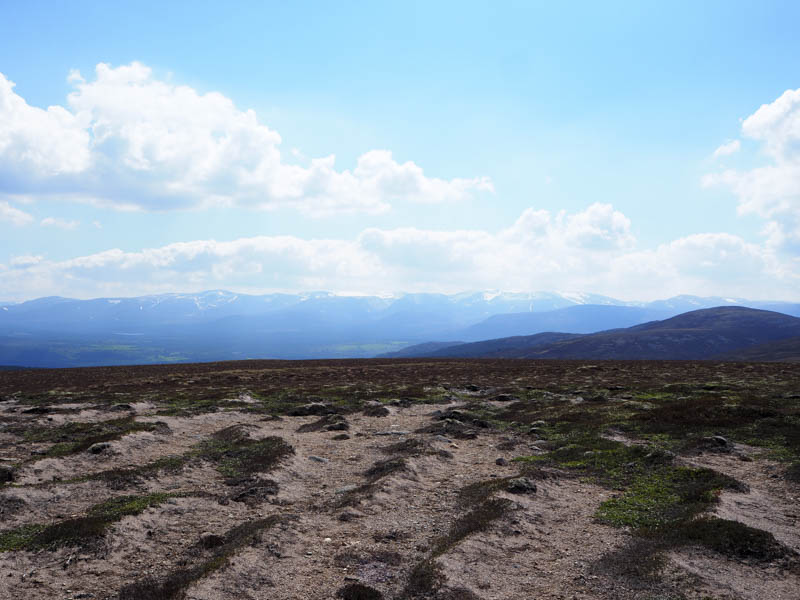
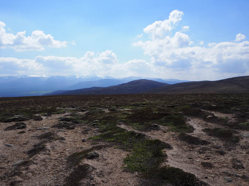
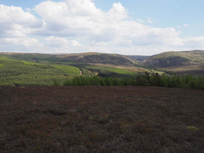
I walked back along the road to the houses at Balvraid and onwards to the bridge over the Allt Bruachaig. Once across it I followed the track into the forest, passed the old building at Glenkirk, and up a forest track on the east side of Gleann Seileach. The track later crossed the glen and the Allt Seileach to reach the north-east side of Tom a’ Ghealagaidh where I left the track and followed a firebreak. However it came to an end so I was forced to push my way through the fir trees until I came across another firebreak which led to open ground and the summit of this Tump. I visited a couple of areas of heather and a large boulder, the latter was probably the highest point.
A more suitable fire break took me back to the forest track at the point I had left it, not sure how I missed this one, then I returned to my car by the upward route.
- Total time taken – 6.5 hours.
- Total distance – 23.5 kilometres.
- Total height climbed – 800 metres.