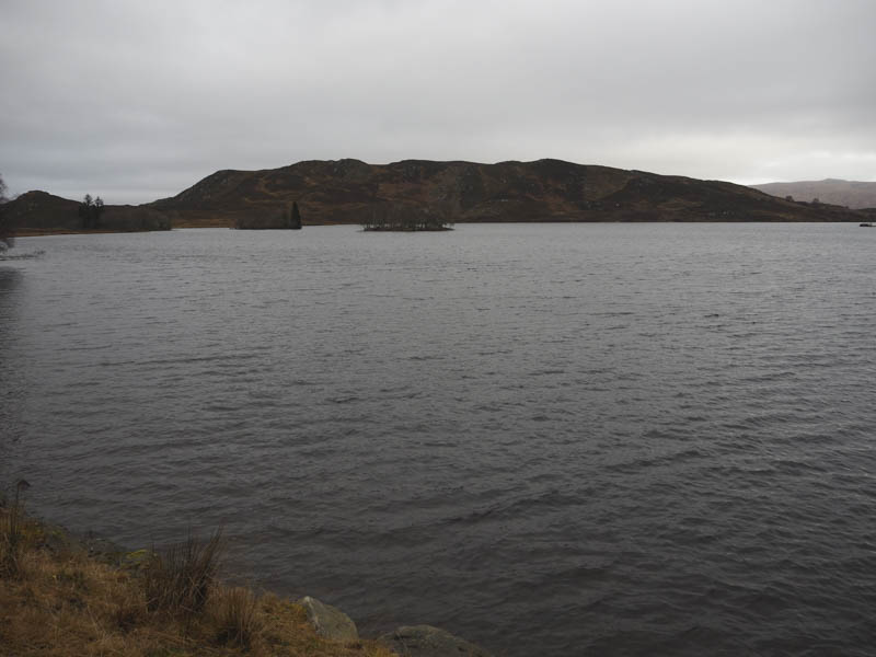
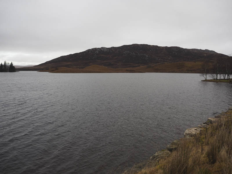
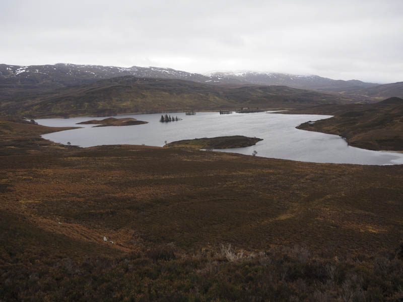
Today I was east of Fort Augustus, parking in the designated area on the south-east side of Loch Tarff, beside the B862 South Loch Ness Road. From there I walked back along the road, south-west, to beyond the west end of the loch and to where the road crossed the lochs outflow.
A little used vehicle track was then followed north-east along the other side of the stream to beyond a stock gate and here I left the track and headed north-west through heather and waterlogged ground. Underfoot became drier as the gradient increased with a few sheep trails which I made use of.
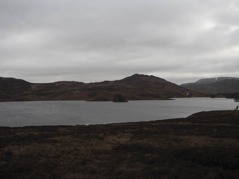
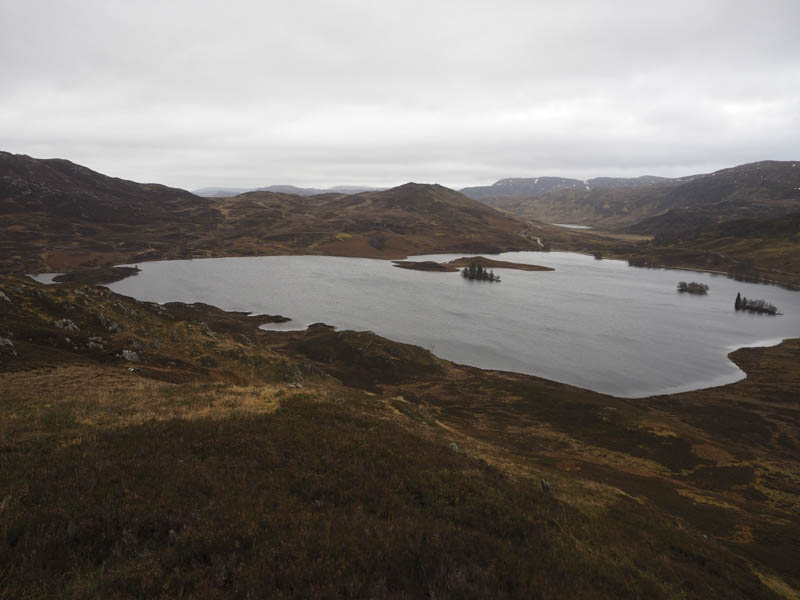
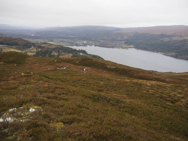
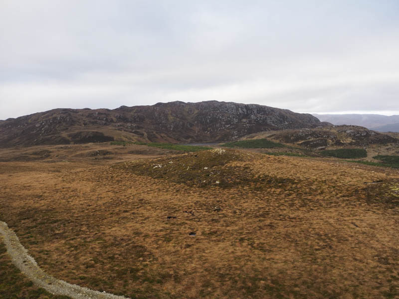
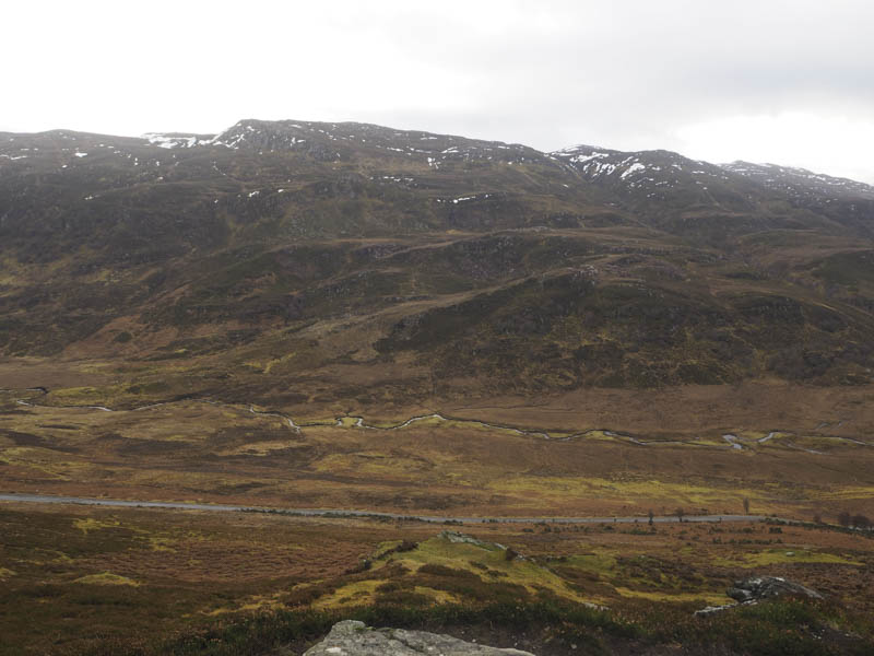
This took me onto the East Top and after a slight dip I climbed to the highest point of the Tump, Murligan Hill, marked by a pointed outcrop, with views of the south end of Loch Ness and Fort Augustus.
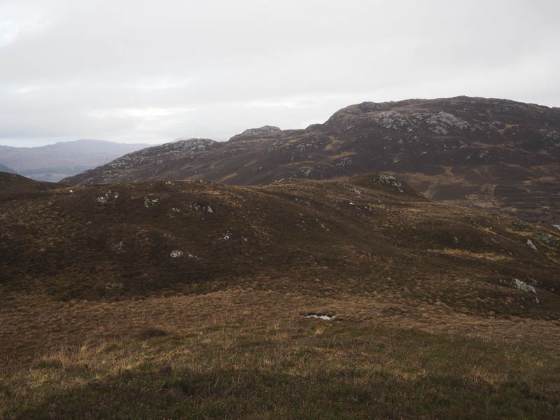
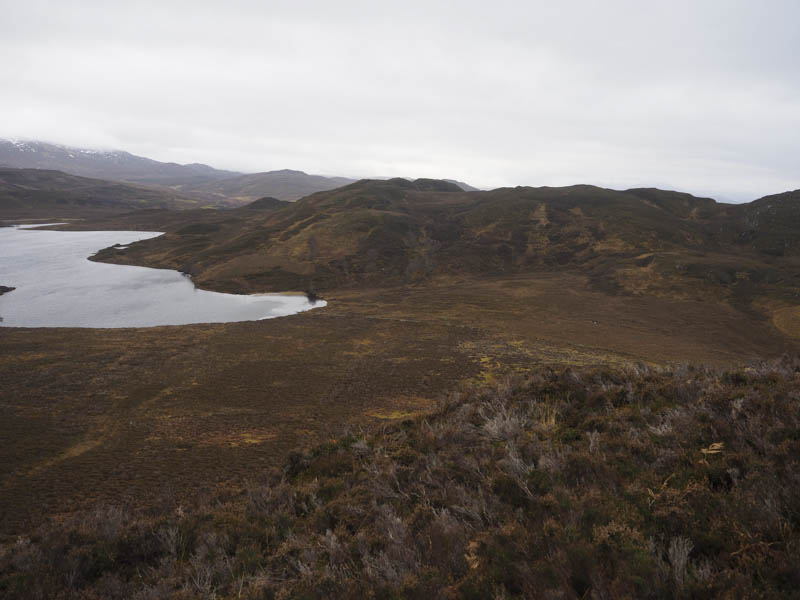
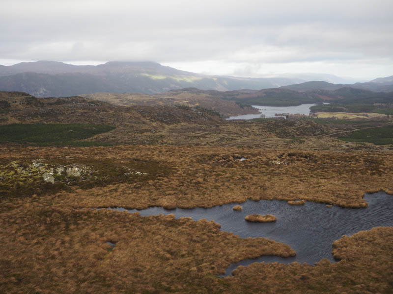
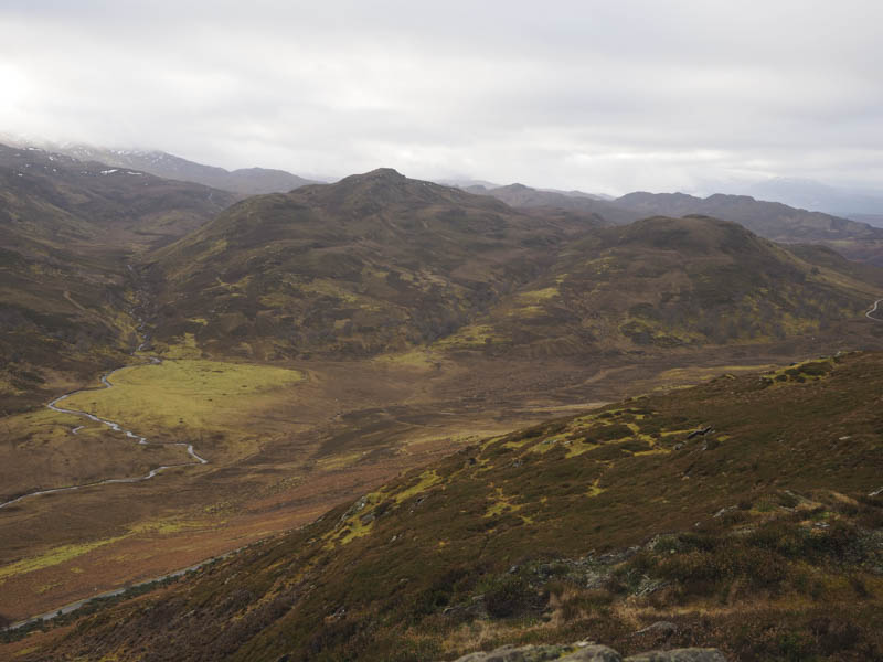
I descended north-east, again using some sheep trails but they could have been goat trails as I came across a dead goat. The vegetation was longer lower down and at the north-west end of Loch Tarff the ground was marshy. Here I crossed a stock fence and an old stone dyke before commencing the ascent of Beinn a’ Bhacaidh South Top. The vegetation here was long making the climb harder work. The ground steepened, the heather was now shorter, as I headed for the summit of this Sub Dodd. There were several outcrops but the large pointed one appeared to be the highest point.
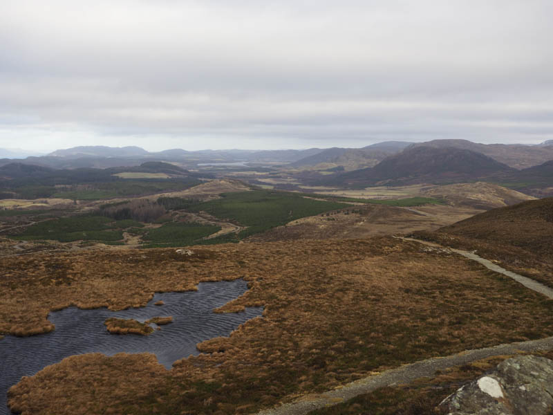
On leaving this hill I descended south-east, on easy enough ground, towards a deer fence which enclosed an area where the trees had been harvested. I made my way down to the south corner of this deer fence where I crossed a stock fence, went through some wet ground, before continuing the descent to a stream. Once over it I climbed onto the west ridge of Carn an t-Suidhe where I located a good path which I later learned was part of the South Loch Ness Trail. The path was briefly followed east then I left it and made the short climb, in windy conditions, to an outcrop which appeared to be the highest point of this Tump.
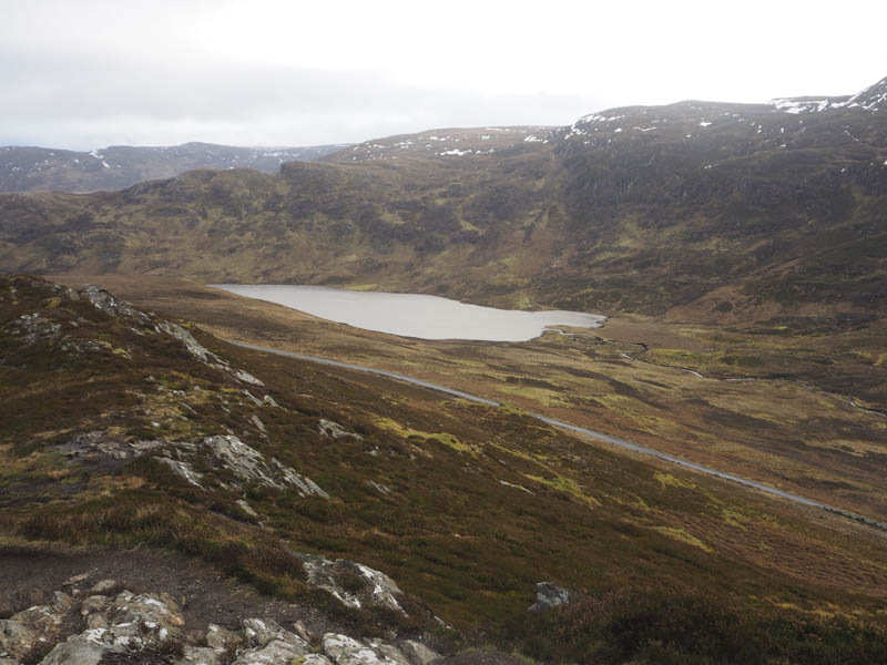
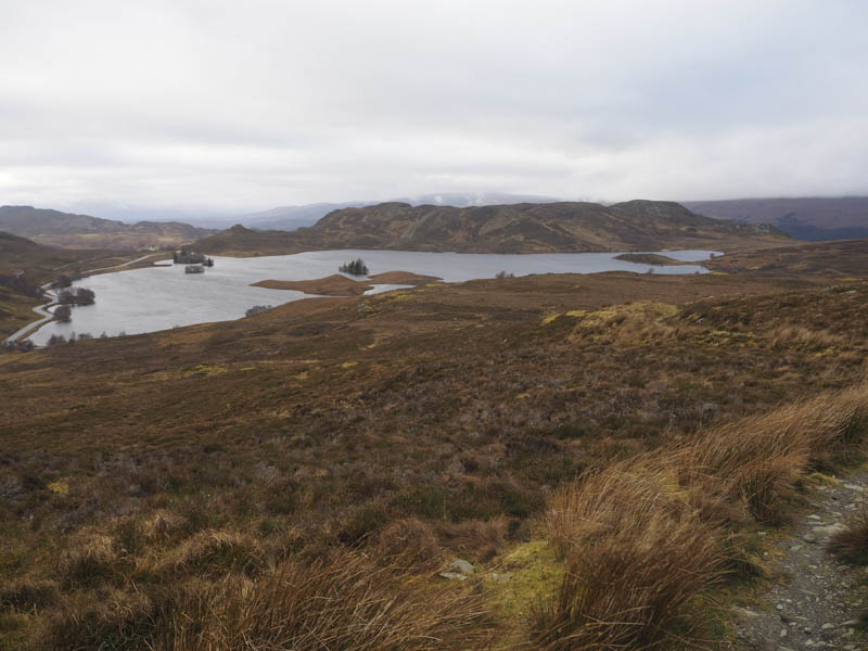
I returned to the path which wound its way towards Loch Tarff and onto the B862 a short distance from the parking area. Lower down the wind wasn’t as strong.
- Time taken – 3.25 hours.
- Distance – 8.5 kilometres.
- Height climbed – 410 metres.