I headed for Strathconon, accessed along a single track road from the A832 at Marybank, with the intention of leaving my vehicle at the start of the access road to Inverchoran. However a camper van occupied the spaces so I was forced to leave my vehicle on the verge further east.
I walked back along the road then towards Inverchoran crossing the bridge over the River Meig.
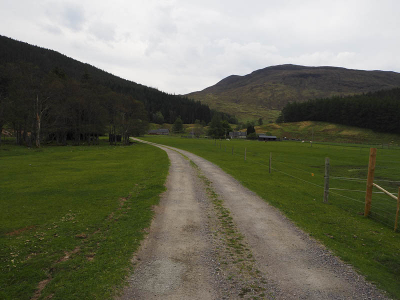
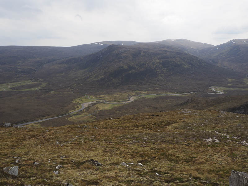
On reaching this property I passed through a gate, then an outbuilding, before turning east to enter Blarnabee Wood where a new communications tower had been built. Immediately before this construction a vehicle track headed south into the woods and rose through the trees.
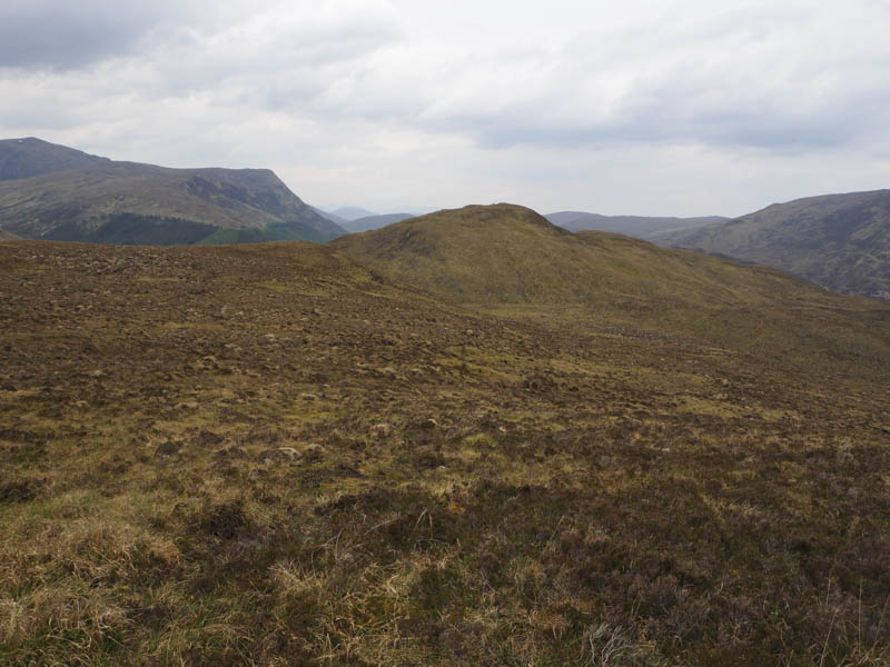
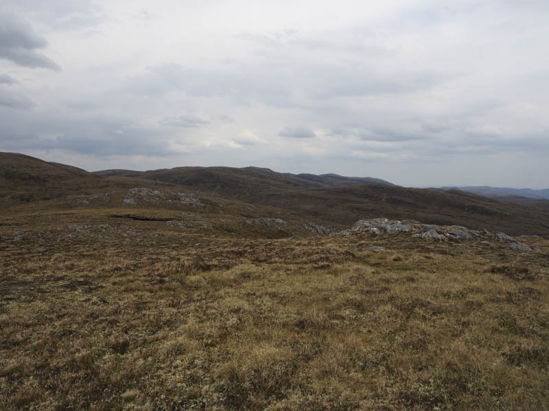
At a junction of tracks I continued straight ahead onto an older track which obviously hadn’t been used for some time as it was blocked by fallen trees as well as being wet and boggy in places. However the deer tracks avoided most of these obstacles as I continued to gain height above the Alltan Sgeireach. Once out of the trees I climbed north through heather, crossed a vehicle track and ascended Cnoc Mall-lairig. The highpoint of this Tump was one of the two boulders.
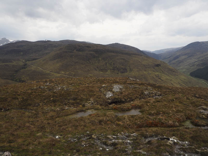
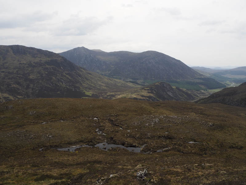
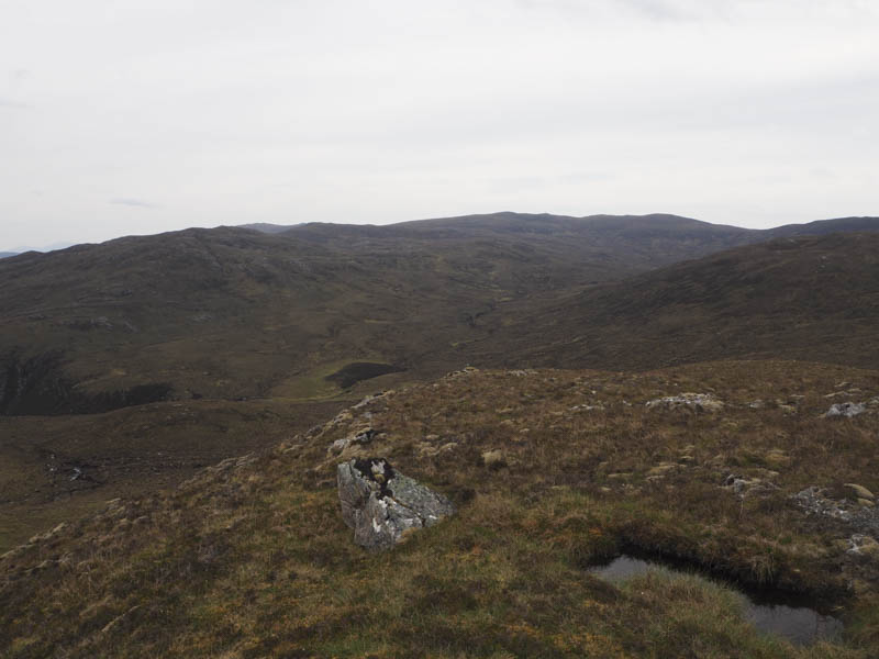
After a break here I descended south-east across pathless terrain but the rough vegetation wasn’t that bad. I then ascended Carn Lochan Dubh nam Biast through similar underfoot conditions with some peat hags, visiting both tops as I couldn’t tell which was the highest.
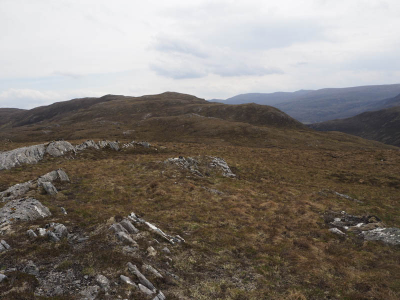
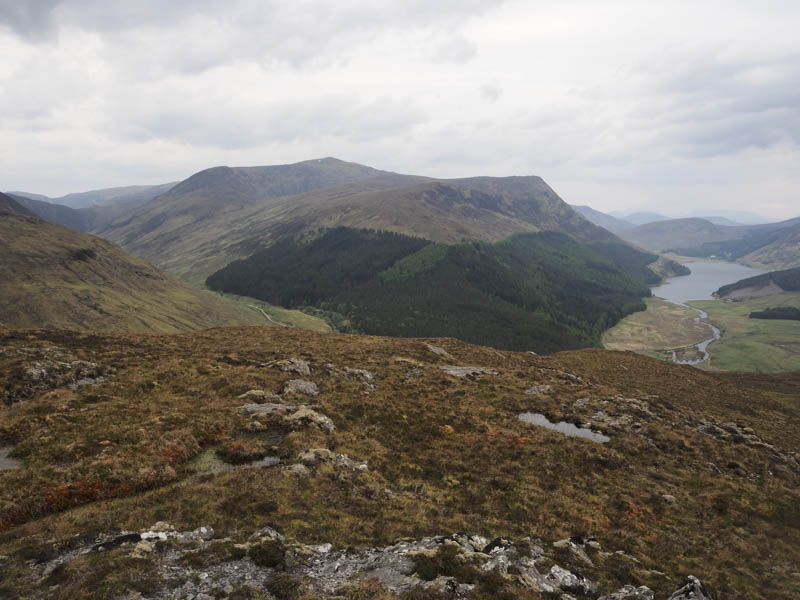
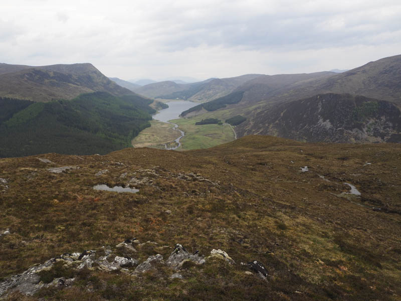
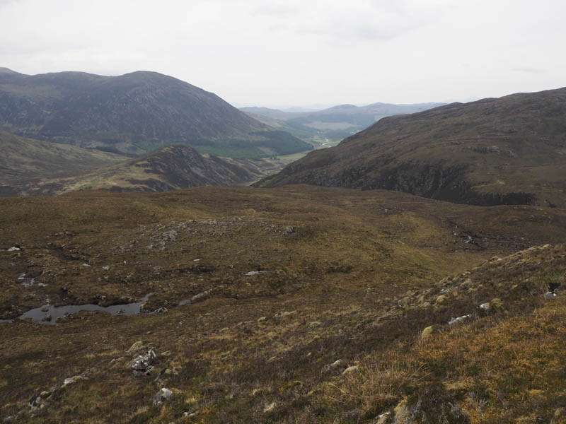
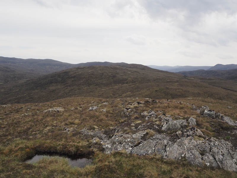
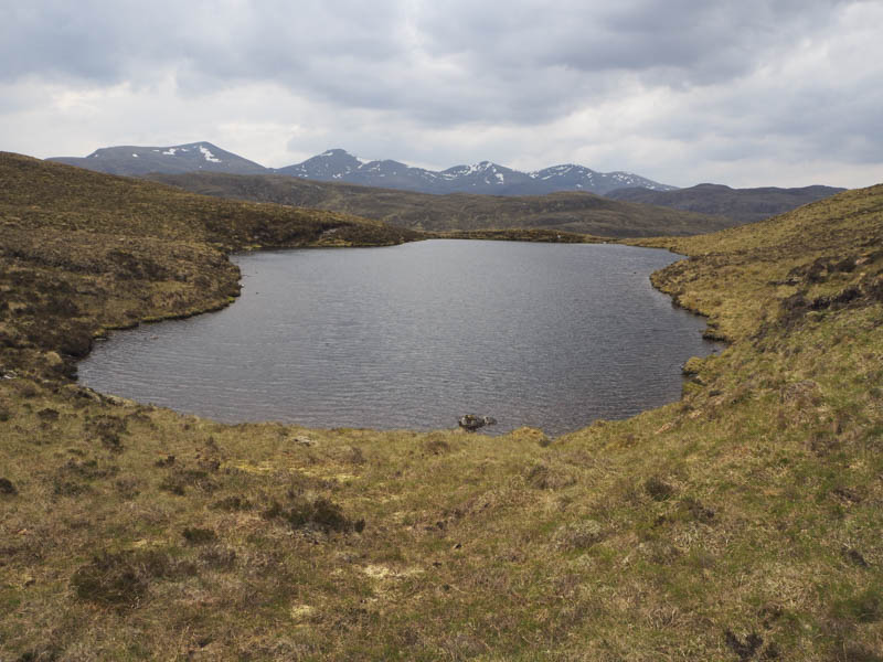
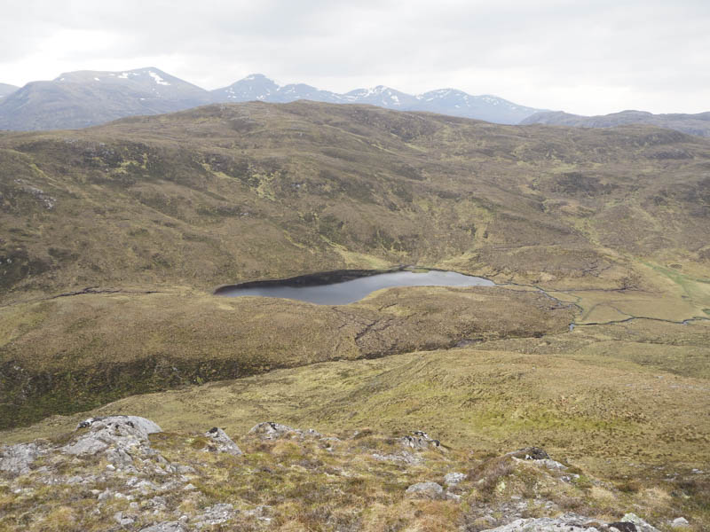
From this Sub Dodd I descended to the north side of Lochan Dubh nam Biast then climbed south-east and east through more of the same rough vegetation to reach the summit of the Tump, Corrachan Buidhe, and its twin cairns. Both showed a height of 600 metres on my GPS. I then crossed over to the South-East Top but it was a couple of metres lower.
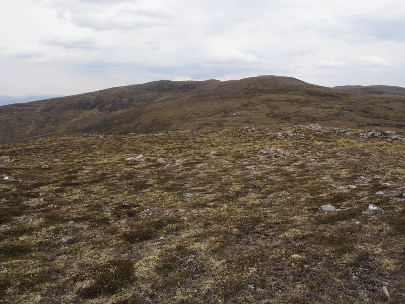
I returned to the true summit then descended south-west then west below Carn Lochan Dubh nam Biast to join a good stalkers path which I followed west above a wet and boggy area used by ATVs. Prior to reaching Blarnabee Wood the path came to a junction of tracks where I continued west on a vehicle track which entered the wood and descended through the trees, fairly steeply at times. Lower down it joined the track used on the outward route then I headed back to Inverchoran and my car.
- Time taken – 5 hours.
- Distance – 11.75 kilometres.
- Height climbed – 625 metres.