With a fine day forecasted I decided on another outing to Strathconon, reached along a single track road from the A832 at Marybank. On this occasion I decided to head south-west of Milton where immediately beyond a converted church there was apparently a footbridge across the River Meig. (Grid Ref. NH292538) It was a possibility that the bridge no longer existed or wasn’t crossable which would have meant a different starting point and approach route.
On my arrival the bridge was still standing and appeared suitable to use. I parked on the grass verge just south of the bridge and walked back to the pedestrian gates giving access to the field then the bridge. A notice indicated that only 2 people use it at one time. It was stable enough with just a couple of small areas of rot on the wooden planks.
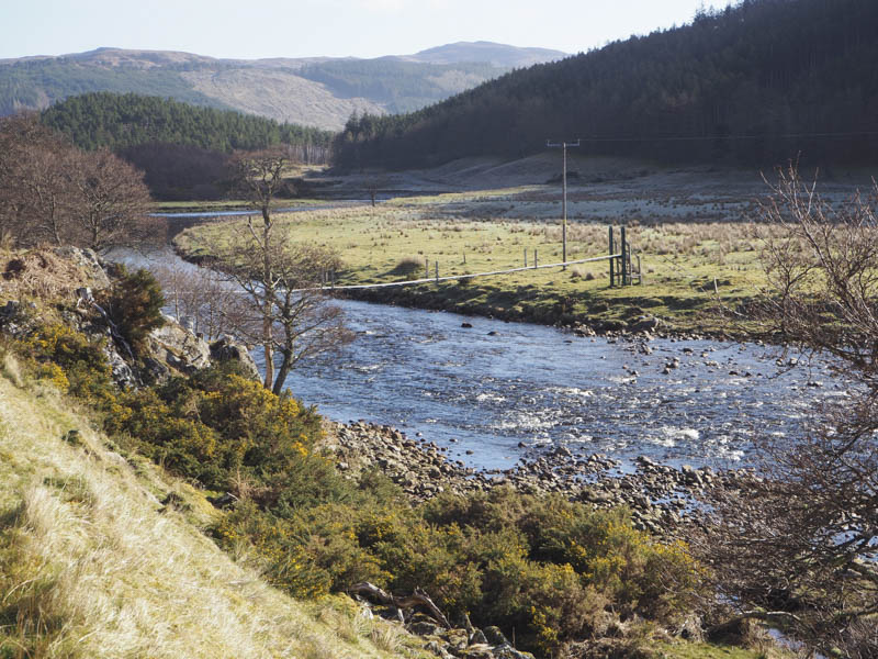
Once over the bridge I crossed a field to a vehicle track then used it briefly before heading up the gully between two areas of forest on a path that rose steeply above the north side of the Allt Baile na Creige.
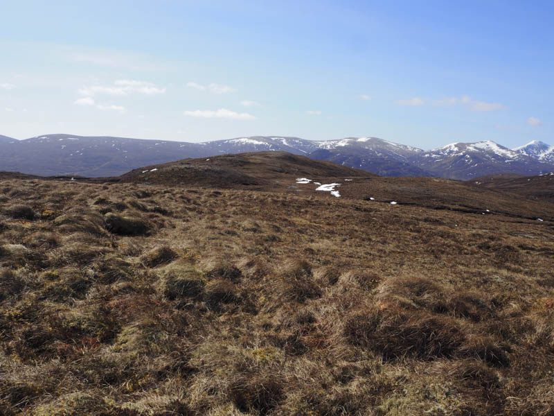
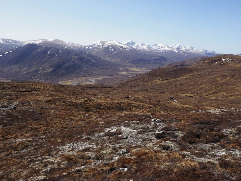
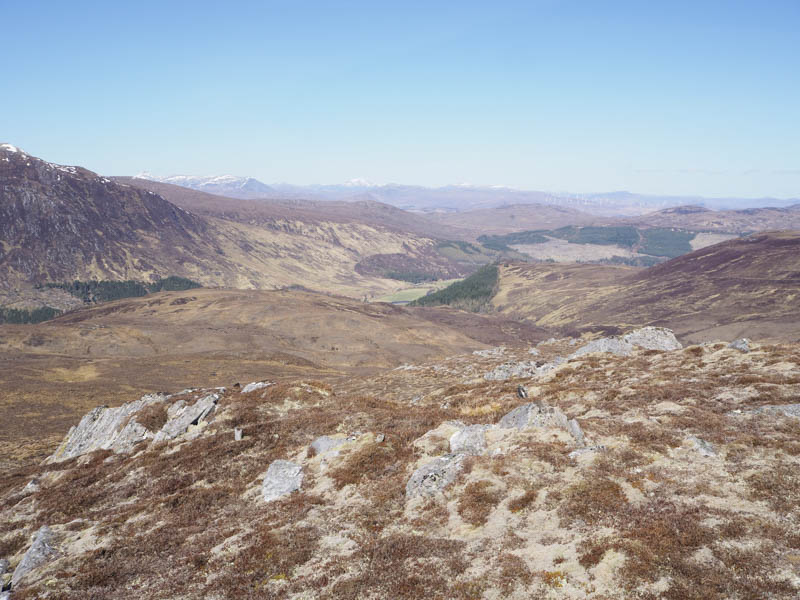
Beyond the trees the path was less obvious but there were deer tracks to follow. Well up the glen the path disappeared completely so I climbed south-east through a mixture of rough vegetation and bog onto Meall na Ceothach North Top, a Sub Simm.
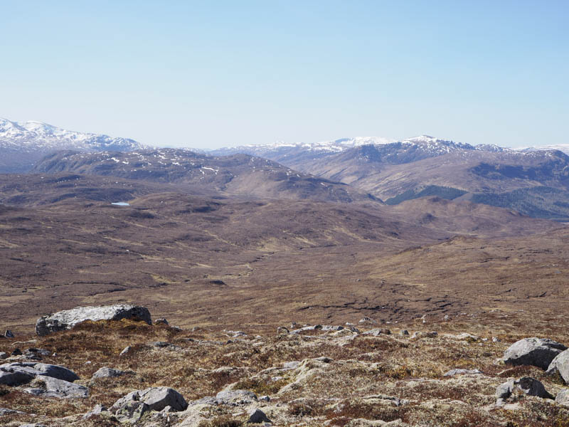
After a break here I descended south over pathless terrain and climbed the Sub Simm, Meall na Ceothach before continuing south to the Sub Dodd, Meall Dubh.
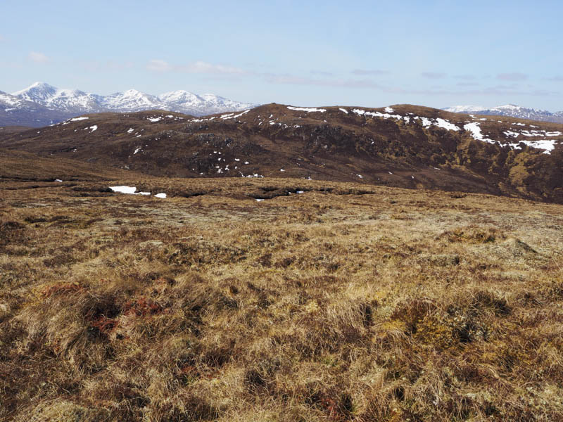
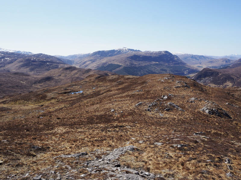
I then returned to the col between Meall Dubh and Meall na Ceothach and worked my way below the west side of the latter hill trying not to lose too much height as I gradually turned north-west to ascend Meall Giubhais. Of the two cairns the northerly one apparently marked the highest point of this Graham Top although little was left of this cairn.
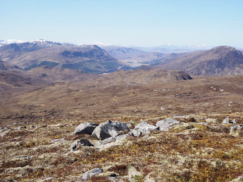
From here I descended north-west across more rough vegetation and climbed Meall Giubhais North-West Top where I sat for a while in the sun.
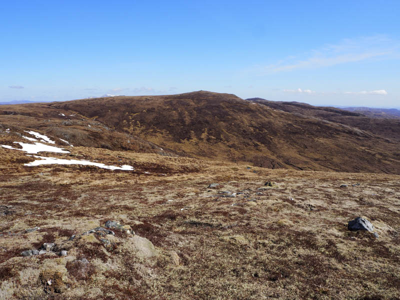
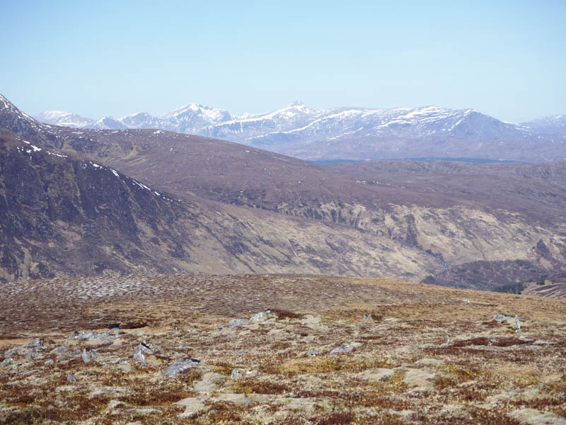
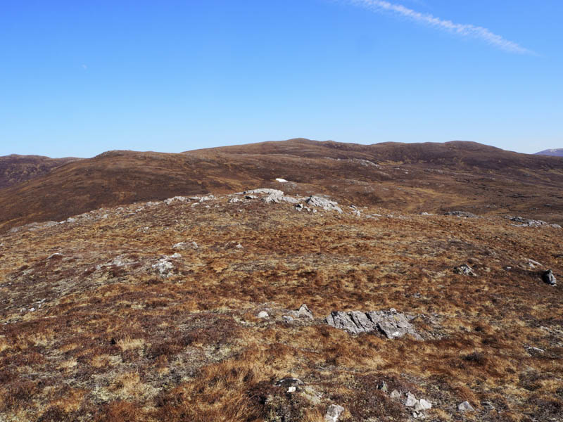
Afterwards I descended south-west before climbing to the summit of the Tump, Creag Dhubh.
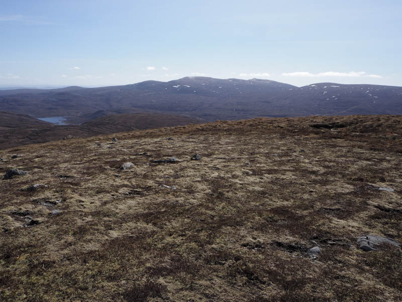
That was the final hill for the day so I dropped north to the top of the crags then headed north-east through long heather with some deer tracks. At a break in the crags I descended steeply, initially through vegetation but lower down manly bare soil badly eroded by the deer. Eventually I reached flatter ground and here followed animal tracks running north-east between the winding River Meig and the deer fence enclosing Balnacraig Wood. Later a vehicle track was joined and led to the Allt Baile na Creige. From there I headed back to the footbridge and my car.
- Time taken – 6.5 hours.
- Distance – 13.25 kilometres.
- Height climbed – 815 metres.