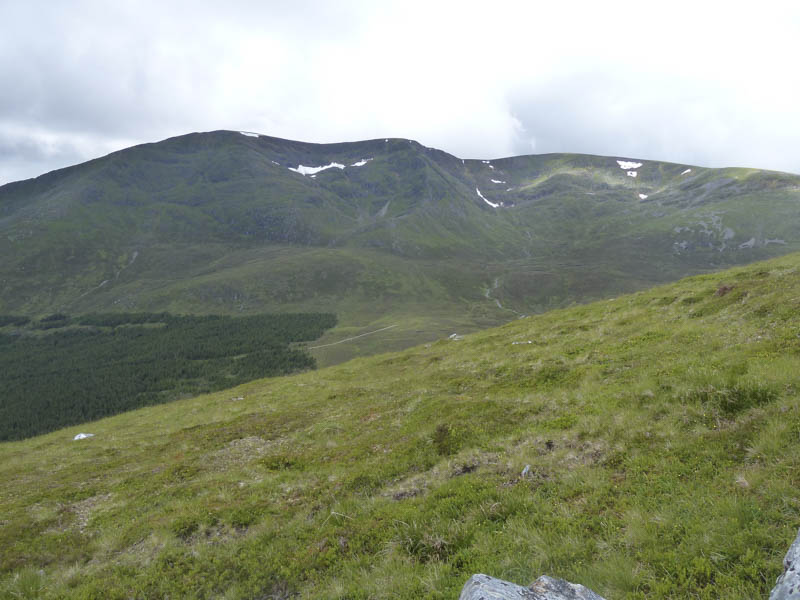
I was en-route home after spending a week hill walking in the Fort William area and stopped off to climb Creag Meagaidh. Years ago I made a direct ascent of this Munro from the A86 Spean Bridge to Newtonmore Road rather the usual easterly approach from Aberarder but had no recollection of the route.
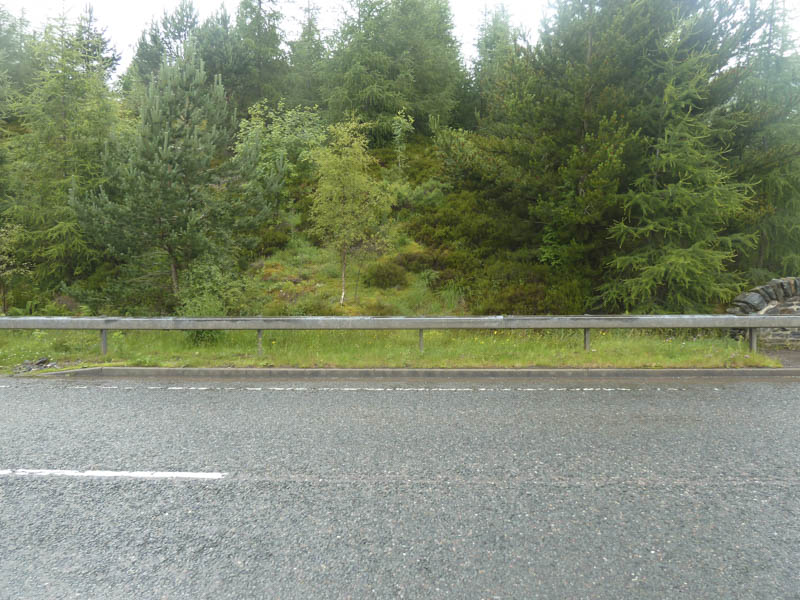
I left my car in the parking area east of Moy and walked west along the A86 to west of the Moy Burn. Here I stepped over a crash barrier then pushed my way through some trees expecting to find a path but there was nothing, just lots of long wet vegetation.
![Start of ascent, over crash barrier and through trees](https://scotlandhills.net/wp-content/uploads/2021/04/01-Start-of-ascent-over-crash-barrier-and-through-trees.jpg)
Occasionally I thought I had found a path but it either soon came to an end or disappeared into the long bracken.
![Creag na Cailliche, route to Creag Meagaidh](https://scotlandhills.net/wp-content/uploads/2021/04/02-Creag-na-Cailliche-route-to-Creag-Meagaidh.jpg)
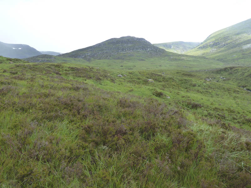
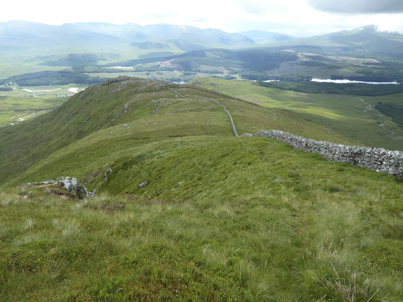
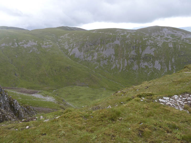
An old stone dyke and a tributary of the Moy Burn were crossed then it was a plod through wet and marshy vegetation until higher ground east of Creag na Cailliche was reached. I climbed this rocky hillock to a stone dyke which came in from the south-west and ran up the south ridge of Creag Meagaidh.
![Loch Laggan and Binnein Shuas](https://scotlandhills.net/wp-content/uploads/2021/04/03-Loch-Laggan-and-Binnein-Shuas.jpg)
![Laggan Reservoir, Chno Dearg and The Easains](https://scotlandhills.net/wp-content/uploads/2021/04/04-Laggan-Reservoir-Chno-Dearg-and-The-Easains.jpg)
![Stone dyke on south ridge of Creag Meagaidh](https://scotlandhills.net/wp-content/uploads/2021/04/05-Stone-dyke-on-south-ridge-of-Creag-Meagaidh.jpg)
![Moy Corrie](https://scotlandhills.net/wp-content/uploads/2021/04/06-Moy-Corrie.jpg)
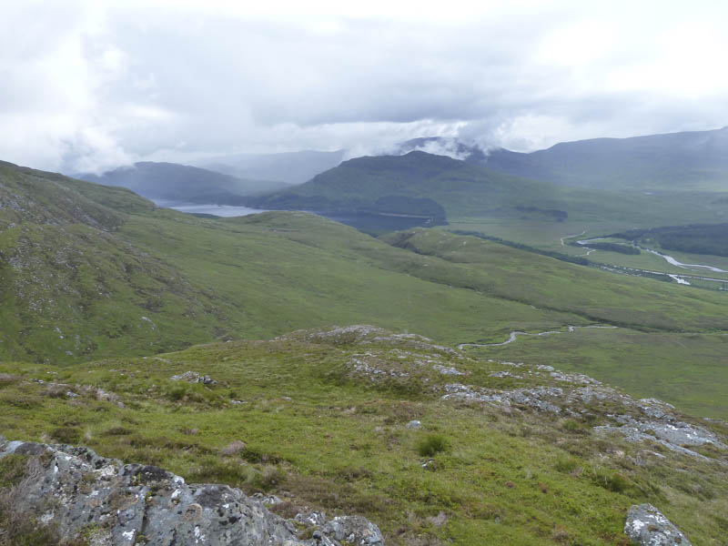
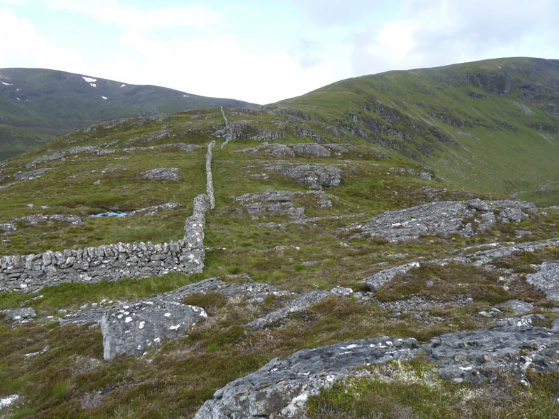
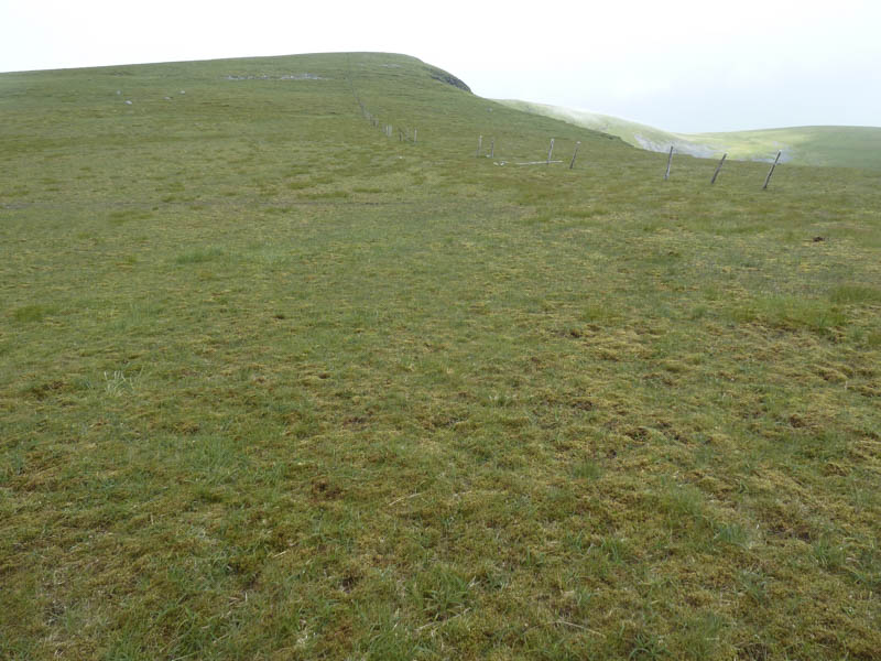
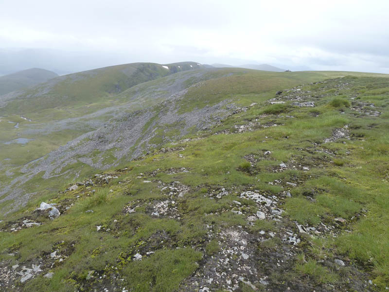
The stone dyke was followed north with a few undulations until high up on the ridge the dyke came to an end to be replaced for a few hundred metres by some old fence posts.
![An Cearcallach](https://scotlandhills.net/wp-content/uploads/2021/04/07-An-Cearcallach.jpg)
![Looking back at ascent route](https://scotlandhills.net/wp-content/uploads/2021/04/08-Looking-back-at-ascent-route.jpg)
![Beinn a' Chaorainn](https://scotlandhills.net/wp-content/uploads/2021/04/09-Beinn-a-Chaorainn.jpg)
![Moy Burn](https://scotlandhills.net/wp-content/uploads/2021/04/10-Moy-Burn.jpg)
![Meall Coire Choille-rais and An Cearcallach](https://scotlandhills.net/wp-content/uploads/2021/04/11-Meall-Coire-Choille-rais-and-An-Cearcallach.jpg)
![Approach to summit of Creag Meagaidh](https://scotlandhills.net/wp-content/uploads/2021/04/12-Approach-to-summit-of-Creag-Meagaidh.jpg)
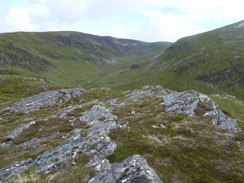
It was then a short climb to the cairn marking the summit of Creag Meagaidh encountering a couple of showers and a cool breeze.
![Stob Poite Coire Ardair](https://scotlandhills.net/wp-content/uploads/2021/04/13-Stob-Poite-Coire-Ardair.jpg)
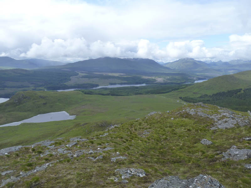
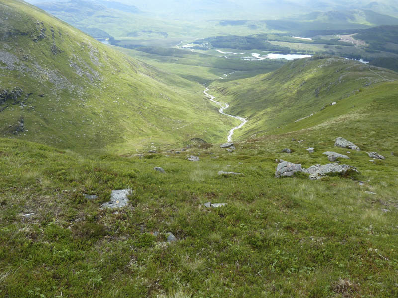
I didn’t linger and returned by the ascent route. At the foot of Creag na Cailliche I crossed the Moy Burn to follow a couple of wet and boggy quad vehicle tracks back to the A86 and closer to where I had left my car.
- Time taken – 4.75 hours.
- Distance – 13.75 kilometres.
- Height climbed – 920 metres.