The start of this walk was beside the bridge over the Strathrory River on the B9176 Evanton to Bonar Bridge Road in Easter Ross, known as the Struie Road, where I left my vehicle in a large parking area. We then walked west along a good quality vehicle track ignoring the no access signs.
![Start of walk](https://scotlandhills.net/wp-content/uploads/2021/03/01-Start-of-walk-3.jpg)
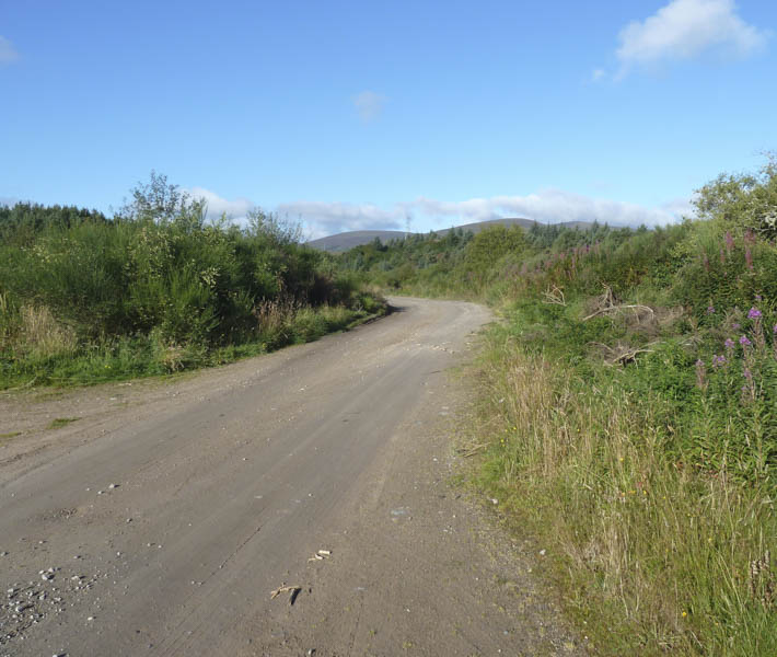
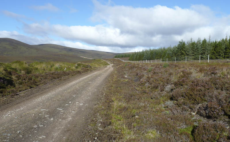
The track soon turned north-west above the Strathrory River, under a set of pylons, and along the edge of a forest.
![Beinn Tharsuinn](https://scotlandhills.net/wp-content/uploads/2021/03/02-Beinn-Tharsuinn.jpg)
![Track continues north-west](https://scotlandhills.net/wp-content/uploads/2021/03/03-Track-contuinues-north-west.jpg)
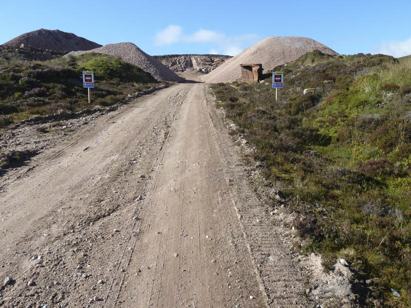
After nearly four kilometres the track crossed the bridge over the Strathrory River and headed towards an old quarry now back in operation. At the no access sign we walked round the south side of the quarry as a JCB was in operation on the opposite side.
![Quarry back in operation](https://scotlandhills.net/wp-content/uploads/2021/03/04-Quarry-back-in-operation.jpg)
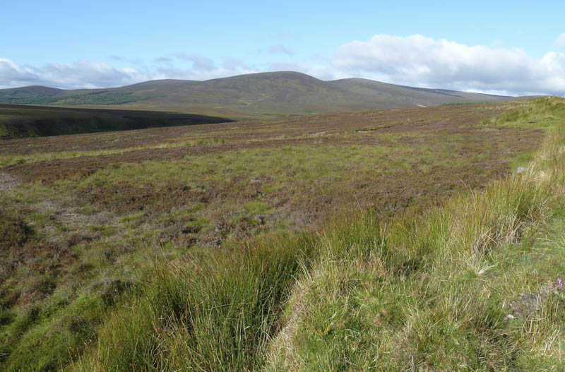
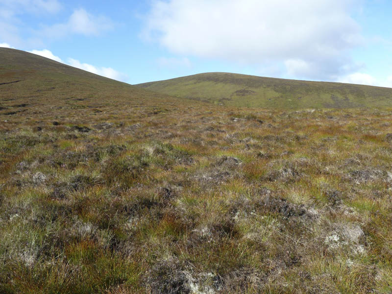
Rough vegetation was crossed as we made our way towards Torr Leathann then into the gully with Beinn Tharsuinn where the ground cover was longer and tussocky making for some awkward walking. Once over the stream the vegetation was shorter but spongy.
![Route to Beinn Tharsuinn](https://scotlandhills.net/wp-content/uploads/2021/03/05-Route-to-Beinn-Tharsuinn.jpg)
![Strath Rory and approach route](https://scotlandhills.net/wp-content/uploads/2021/03/06-Strath-Rory-and-approach-route.jpg)
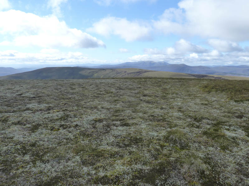
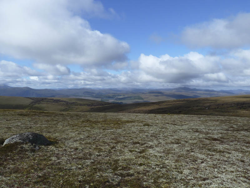
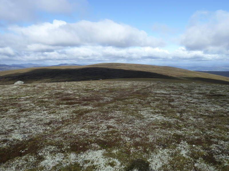
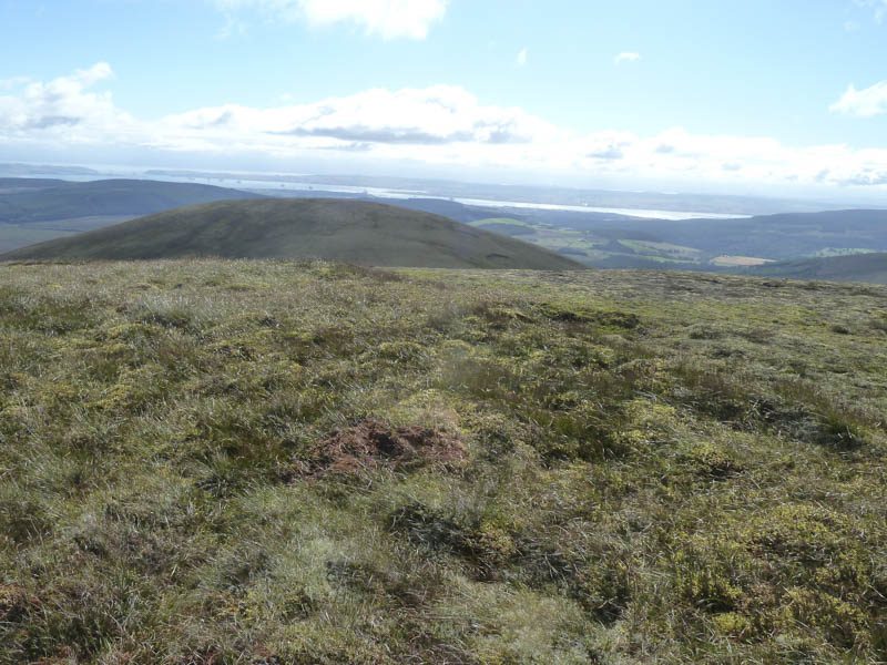
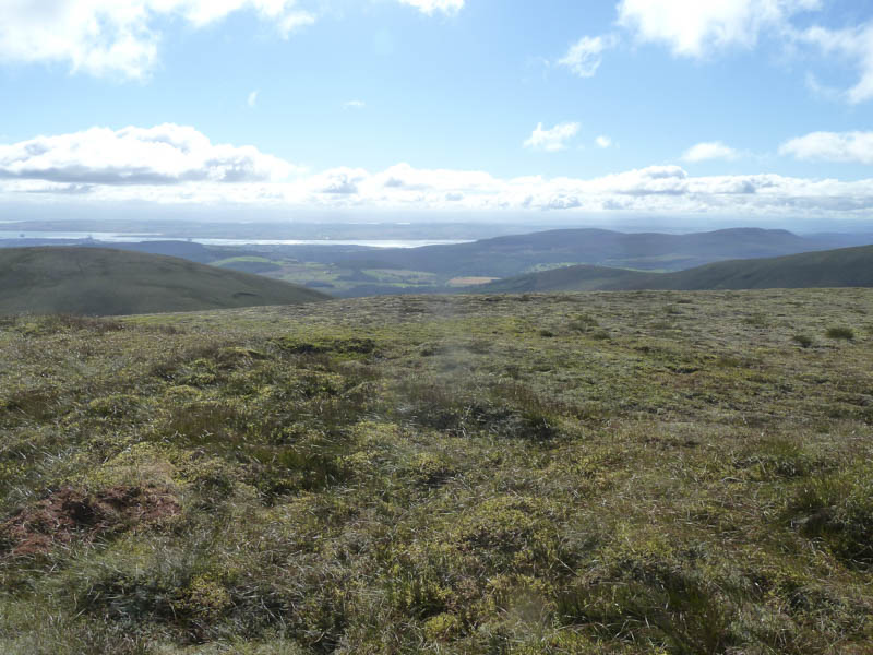
Higher up there were traces of a path leading to Beinn Tharsuinn’s trig point which was in a small hollow so we visited a few nearby highpoints.
![Cnoc an t-Sid Mor. Ben Wyvis beyond](https://scotlandhills.net/wp-content/uploads/2021/03/07-Cnoc-an-t-Sid-Mor.-Ben-Wyvis-beyond.jpg)
![Across Strath Rusdale to Loch Bad a' Bhathaich](https://scotlandhills.net/wp-content/uploads/2021/03/08-Across-Strath-Rusdale-to-Loch-Bad-a-Bhathaich.jpg)
![Sidhean a' Choin Bhain](https://scotlandhills.net/wp-content/uploads/2021/03/09-Sidhean-aChoin-Bhain.jpg)
![Beinn Tharsuinn Wind Farm](https://scotlandhills.net/wp-content/uploads/2021/03/10-Beinn-Tharsuinn-Wind-Farm.jpg)
![Towards Dornoch Firth](https://scotlandhills.net/wp-content/uploads/2021/03/11-Towards-Dornoch-Firth.jpg)
![Nigg Bay](https://scotlandhills.net/wp-content/uploads/2021/03/12-Nigg-Bay.jpg)
![Cromarty Firth beyond Torr Leathann](https://scotlandhills.net/wp-content/uploads/2021/03/13-Cromarty-Firth-beyond-Torr-Leathann.jpg)
![Cromarty Firth and Cnoc Ceislein](https://scotlandhills.net/wp-content/uploads/2021/03/14-Cromarty-Firth-and-Cnoc-Ceislein.jpg)
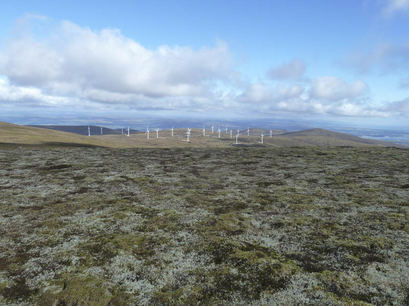
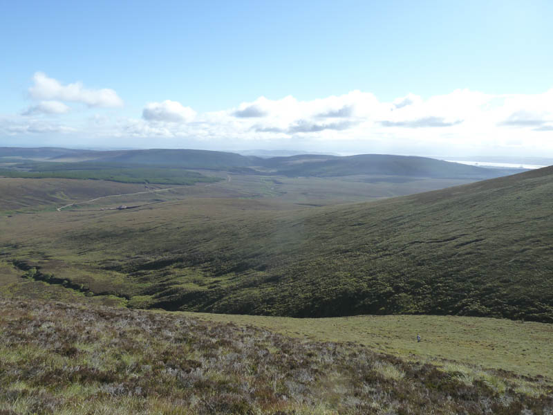
We remained at the summit of this Graham for around half an hour before descending directly towards the quarry crossing some long and awkward vegetation. Below the quarry we rejoined the track and followed it back to the car. There had been no traffic on the outward route but three lorries passed us on the walk out.
- Time taken – 4.25 hours.
- Distance – 13.25 kilometres.
- Height climbed – 580 metres.