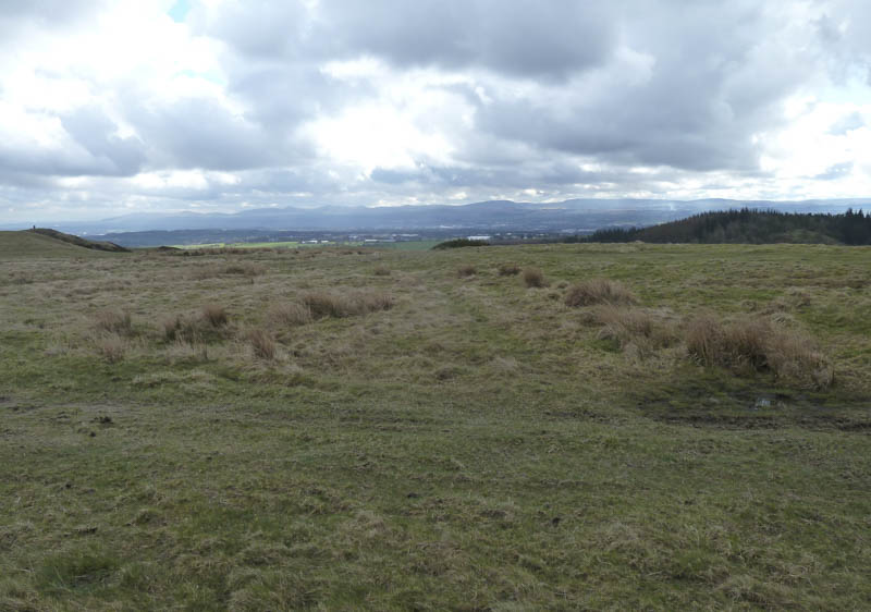
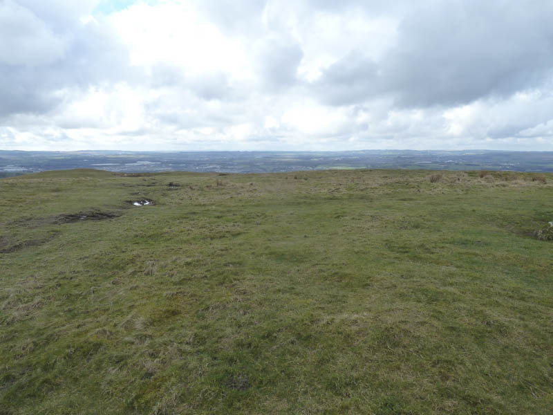
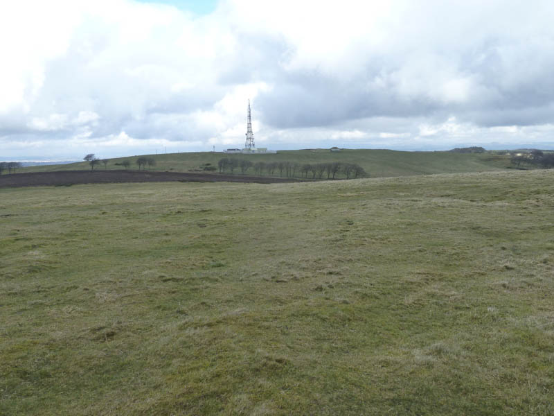
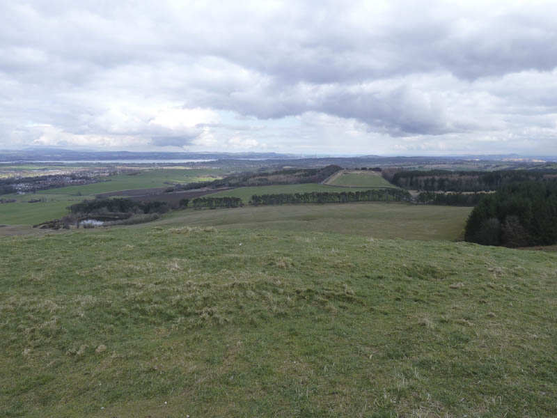
Cairnpapple Hill: Drove to Beecraigs Country Park, south of Linlithgow, then walked through the park, crossing a couple of minor roads to below the communications tower on Cairnpapple Hill. Thereafter a barbed wire fence was crossed before making the short climb to the summit of this Marilyn. The highest point was apparently five metres north-east of the trig point.
![Towards the Pentland Hills](https://scotlandhills.net/wp-content/uploads/2021/02/01-Towards-the-Pentland-Hills.jpg)
![South from Cairnpapple Hill](https://scotlandhills.net/wp-content/uploads/2021/02/02-South-from-Cairnpapple-Hill.jpg)
![Communication Tower, Cairnpapple Hill](https://scotlandhills.net/wp-content/uploads/2021/02/03-Communication-Tower-Cairnpapple-Hill.jpg)
![Towards Firth of Forth](https://scotlandhills.net/wp-content/uploads/2021/02/04-Towards-Firth-of-Forth.jpg)
![Knock](https://scotlandhills.net/wp-content/uploads/2021/02/05-Knock.jpg)
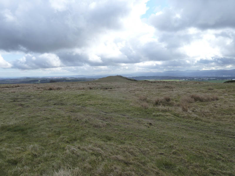
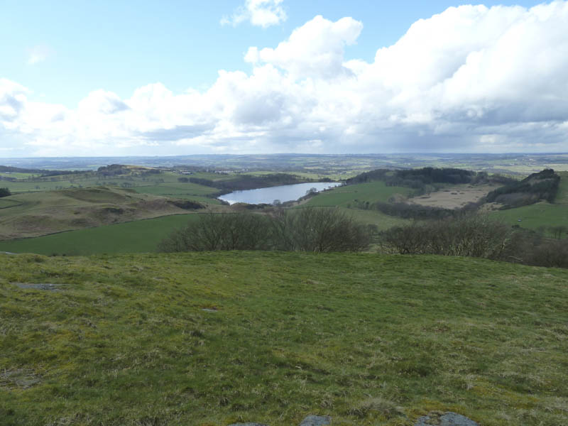
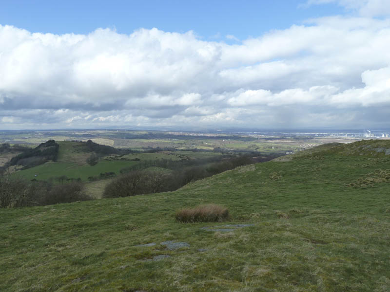
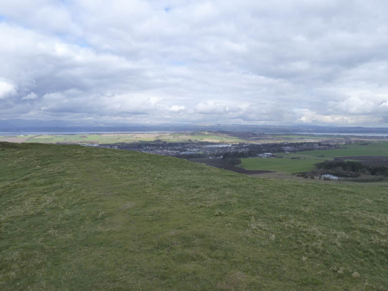
After a few minutes at the top we walked east to a minor road and used it briefly before returning by the outward route but with a diversion to climb the Tump, Cockleroy, with views of Linlithgow and the Forth Bridges.
![Lochcote Reservoir](https://scotlandhills.net/wp-content/uploads/2021/02/06-Lochcote-Reservoir.jpg)
![Towards Falkirk and Grangemouth](https://scotlandhills.net/wp-content/uploads/2021/02/07-Towards-Falkirk-and-Grangemouth.jpg)
![Linlithgow](https://scotlandhills.net/wp-content/uploads/2021/02/08-Linlithgow.jpg)
![Firth of Forth and the Bridges](https://scotlandhills.net/wp-content/uploads/2021/02/09-Firth-of-Forth-and-the-Bridges.jpg)
![Cairnpapple Hill](https://scotlandhills.net/wp-content/uploads/2021/02/10-Cairnpapple-Hill.jpg)
Arthurs’ Seat: We left my car in the pay and display car park beside Edinburgh’s Palace of Holyrood House, crossed the road and headed along the path towards Arthur’s Seat.
![Arthur's Seat](https://scotlandhills.net/wp-content/uploads/2021/02/11-Arthurs-Seat.jpg)
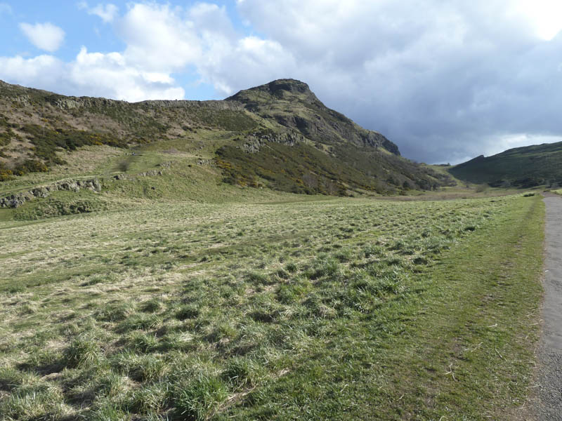
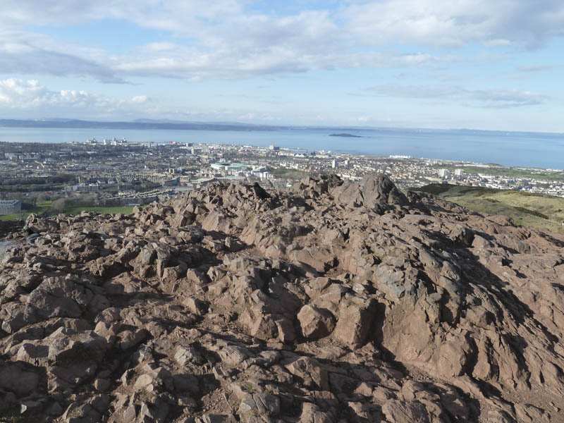
There was a choice of approach routes so we opted to head up Hunter’s Bog to Gutted Haddie. From there we climbed a zigzag path onto a grassy knoll then the final ascent across rocks to the summit of Arthur’s Seat.
![Approaching Arthur's Seat](https://scotlandhills.net/wp-content/uploads/2021/02/12-Approaching-Arthurs-Seat.jpg)
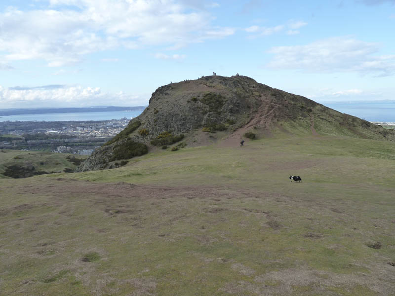
The highest point of this Marilyn was apparently a rock beside the trig point.
![Edinburgh, Leith and Firth of Forth](https://scotlandhills.net/wp-content/uploads/2021/02/13-Edinburgh-Leith-and-Firth-of-Forth.jpg)
![Holyrood Park, Edinburgh](https://scotlandhills.net/wp-content/uploads/2021/02/14-Holyrood-Park-Edinburgh.jpg)
![Edinburgh across Salisbury Crags](https://scotlandhills.net/wp-content/uploads/2021/02/15-Edinburgh-across-Salisbury-Crags.jpg)
![Holyrood Park and towards East Lothian](https://scotlandhills.net/wp-content/uploads/2021/02/16-Holyrood-Park-and-towards-East-Lothian.jpg)
![Holyrood Park and Dunsapie Loch](https://scotlandhills.net/wp-content/uploads/2021/02/17-Holyrood-Park-and-Dunsapie-Loch.jpg)
![Edinburgh and Pentland Hills](https://scotlandhills.net/wp-content/uploads/2021/02/18-Edinburgh-and-Pentland-Hills.jpg)
![](https://scotlandhills.net/wp-content/uploads/2021/02/19-Summit-area-Arthurs-Seat.jpg)
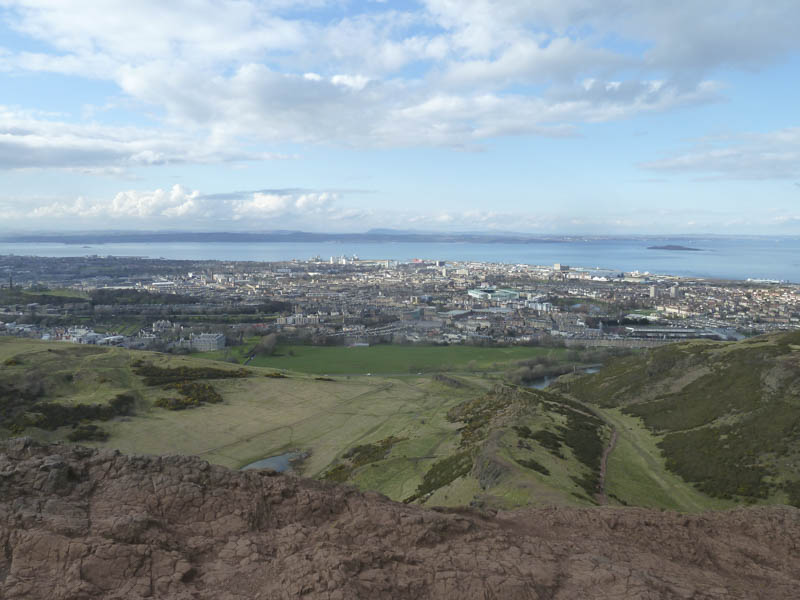
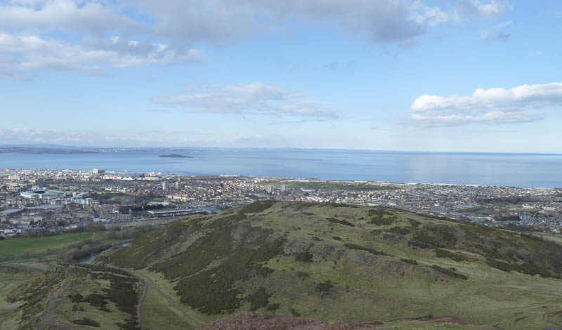
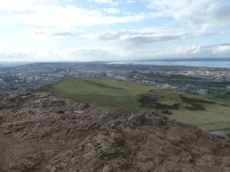
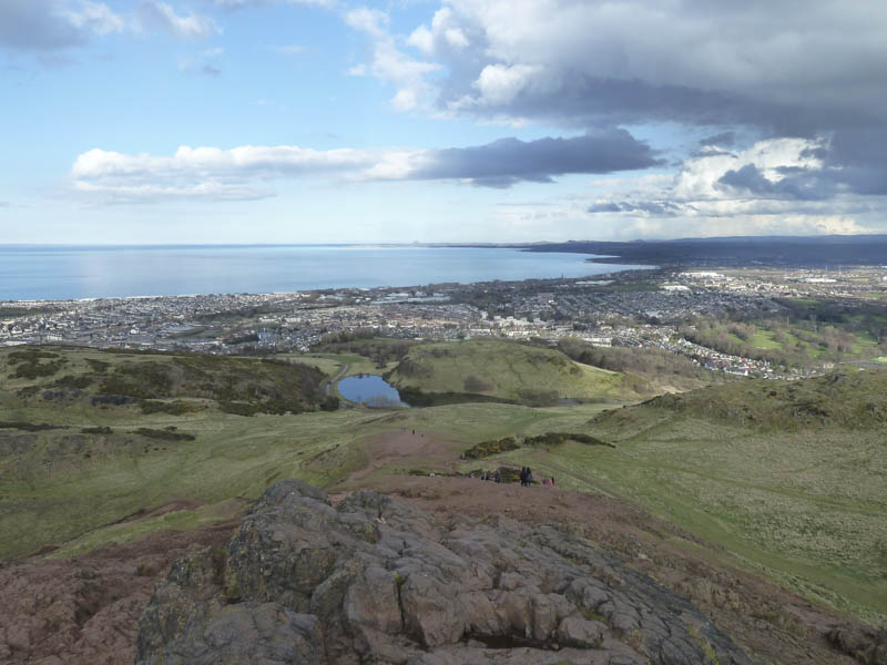
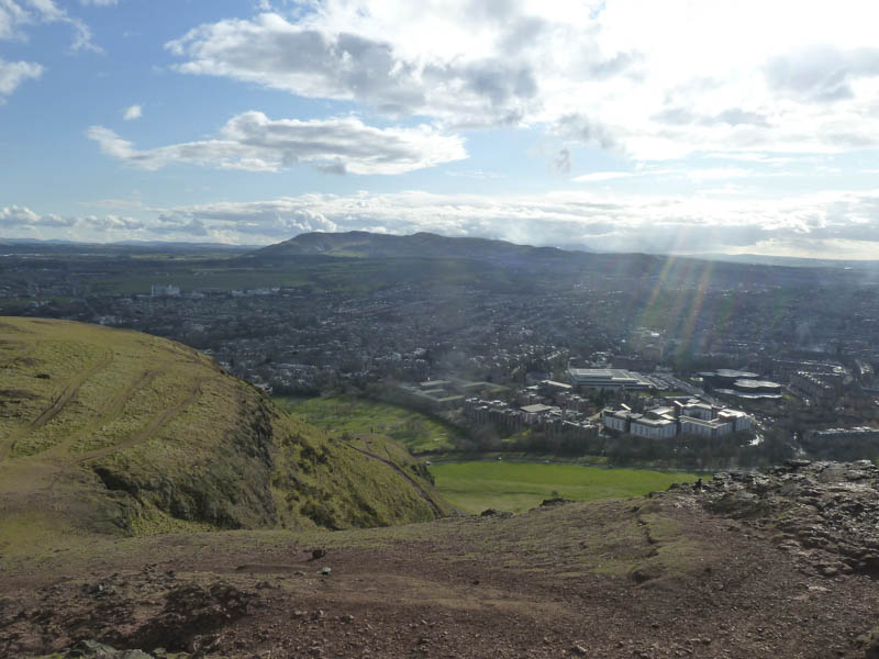
After spending some time at the summit we descended north, lower down joining the upward route, then headed back to the car park.
- Total time taken – 4.25 hours.
- Total distance – 12.25 kilometres.
- Total height climbed – 550 metres.