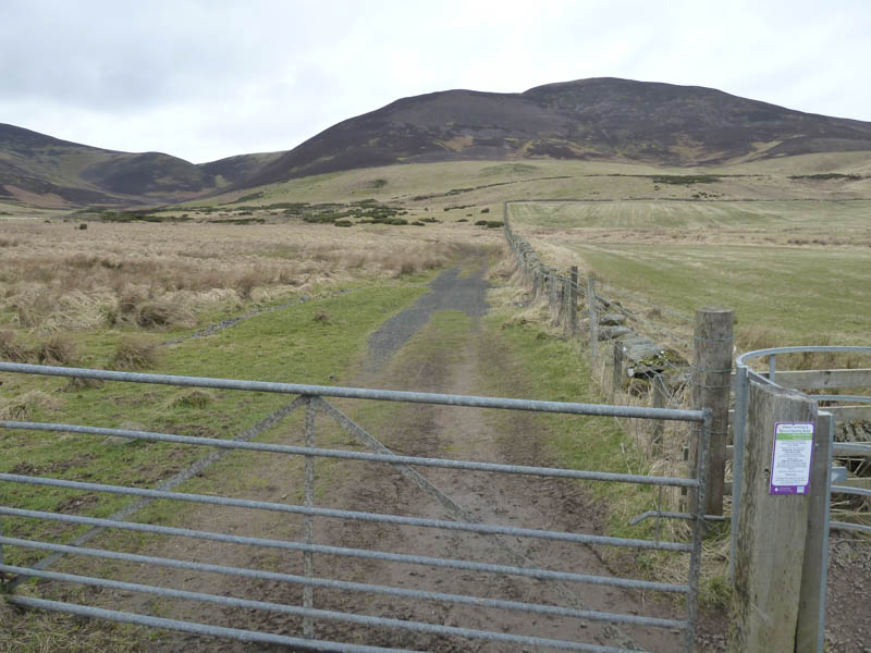
We left the car in the lay-by on the west side of the A702 Edinburgh to West Linton Road, north-east of the hamlet of Silverburn, then passed through a gate and headed north-west along the sign-posted path for Balerno. Initially this path was a bit wet in places but drier as the gradient increased.
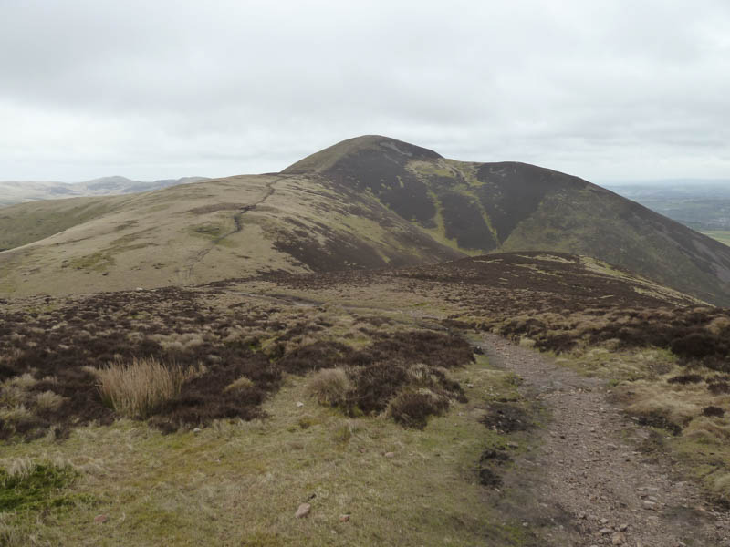
At the col between Carnethy Hill and Scald Law we followed the path onto the summit of the Marilyn, Scald Law, where it was rather windy.
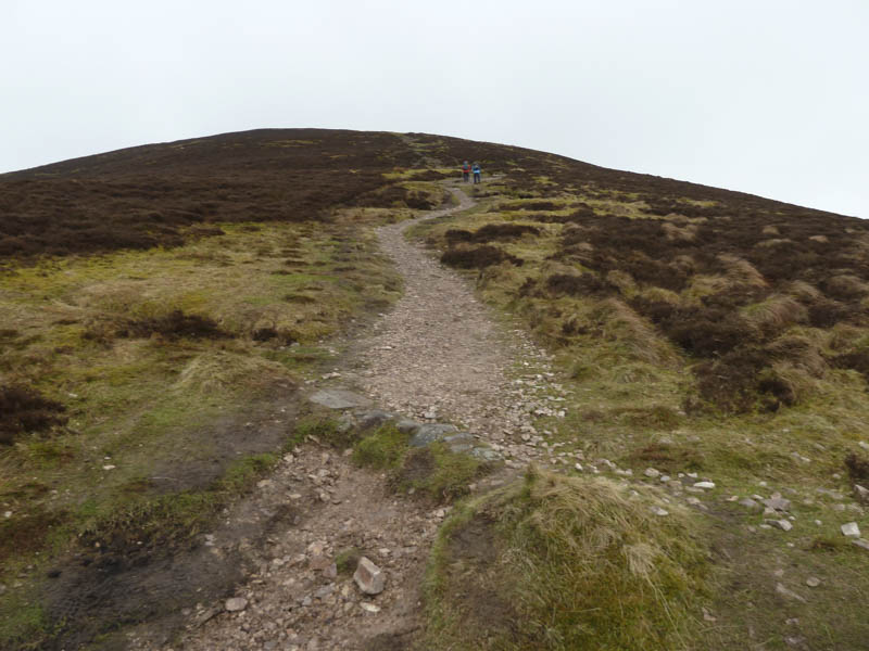
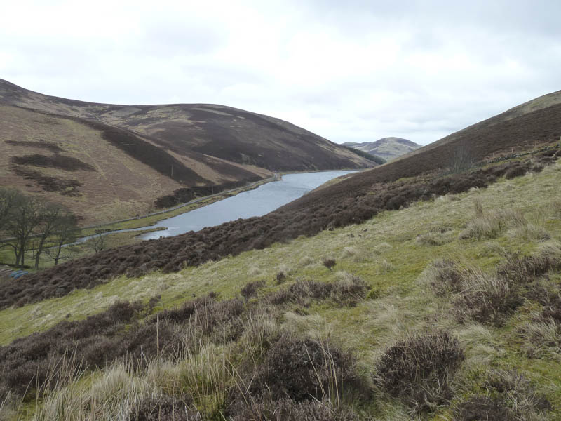
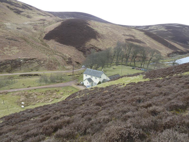
After only a few minutes at the summit we returned to the col and continued on the route towards Balerno descending to Lover’s Loup, south-west of Loganlee Reservoir.
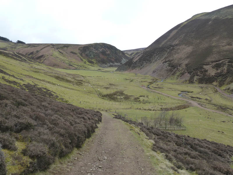
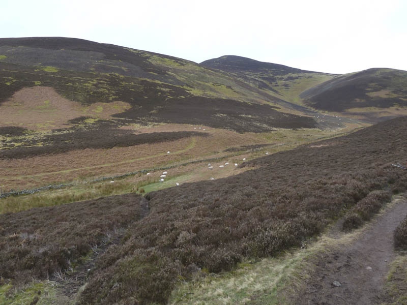
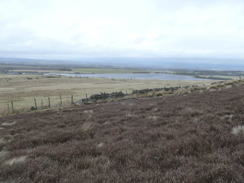
From there we walked up the track through Green Cleuch and round the south side of Black Hill gradually gaining height.
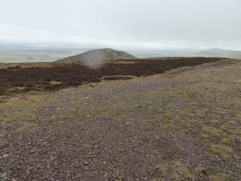
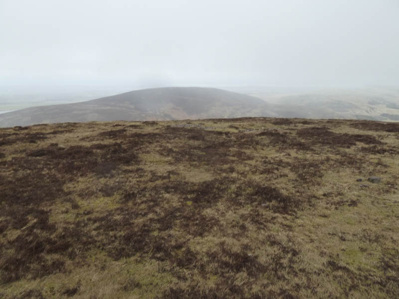
On reaching the west side of the hill a fence led onto its south ridge where once through a gate animal trails in the heather took us to the small cairn on the summit of Black Hill.
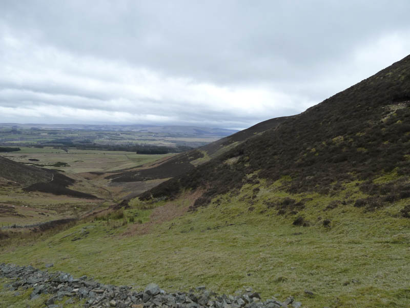
The cairn didn’t appear to be the highest point so we wandered around various heather clumps before descending south then later south-east, using some animal trails, to reach The Howe at the south-west end of Loganlee Reservoir. The path was then followed back over the col between Carnethy Hill and Scald Law and to the A702.
- Time taken – 4.25 hours.
- Distance – 10.75 kilometres.
- Height climbed – 740 metres.