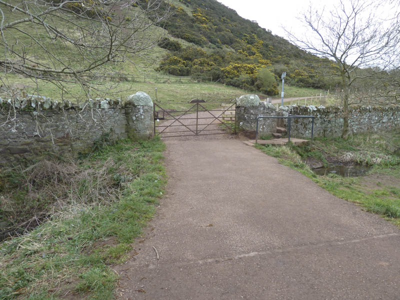
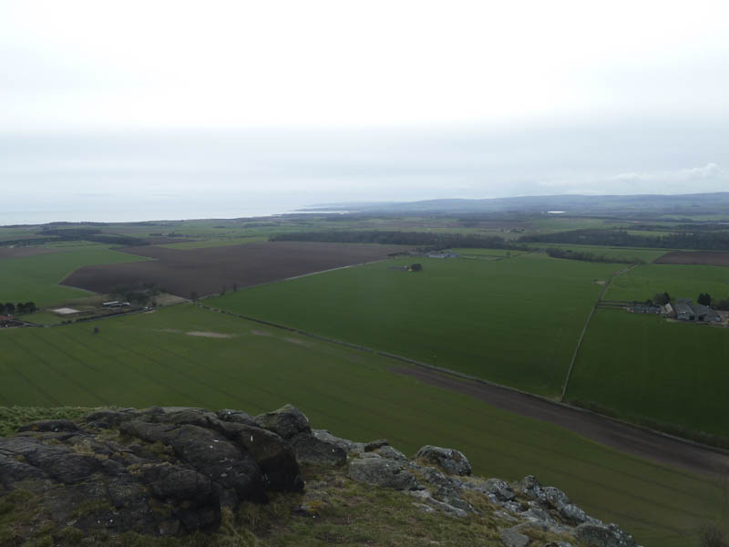
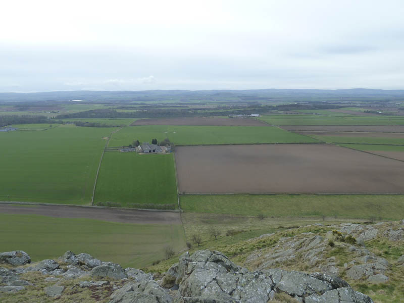
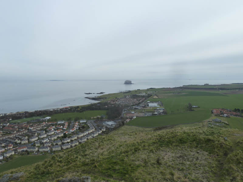
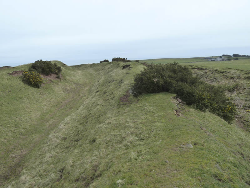
North Berwick Law: I left my car in the car park just off the B1347, immediately south of the town of North Berwick in East Lothian and below North Berwick Law. I then followed a marked path along the east side of this Marilyn.
![Exmoor Ponies on North Berwick Law](https://scotlandhills.net/wp-content/uploads/2021/02/01-Exmoor-Ponies-on-North-Berwick-Law.jpg)
![Start of ascent North Berwick Law](https://scotlandhills.net/wp-content/uploads/2021/02/02-Start-of-ascent-North-Berwick-Law.jpg)
![Towards Edinburgh](https://scotlandhills.net/wp-content/uploads/2021/02/03-Towards-Edinburgh.jpg)
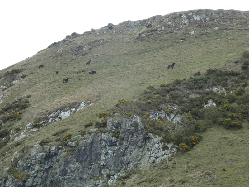
There were then several different paths leading towards its summit so I utilised one of them to gain the trig point and viewpoint indicator.
![Route up North Berwick Law](https://scotlandhills.net/wp-content/uploads/2021/02/04-Route-up-North-Berwick-Law.jpg)
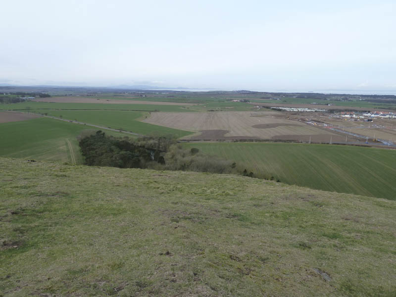
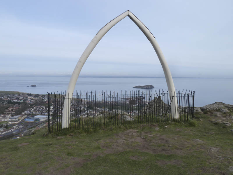
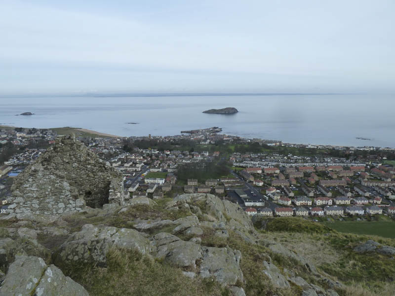
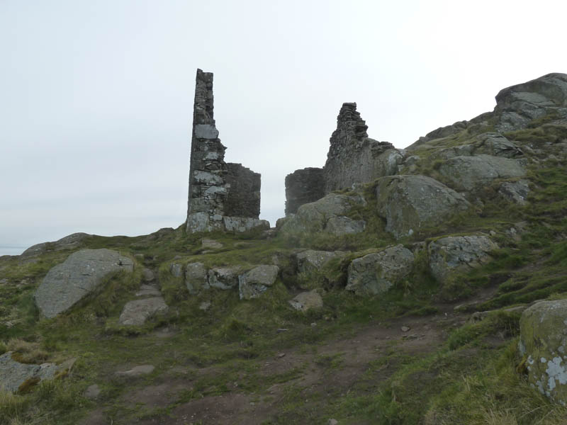
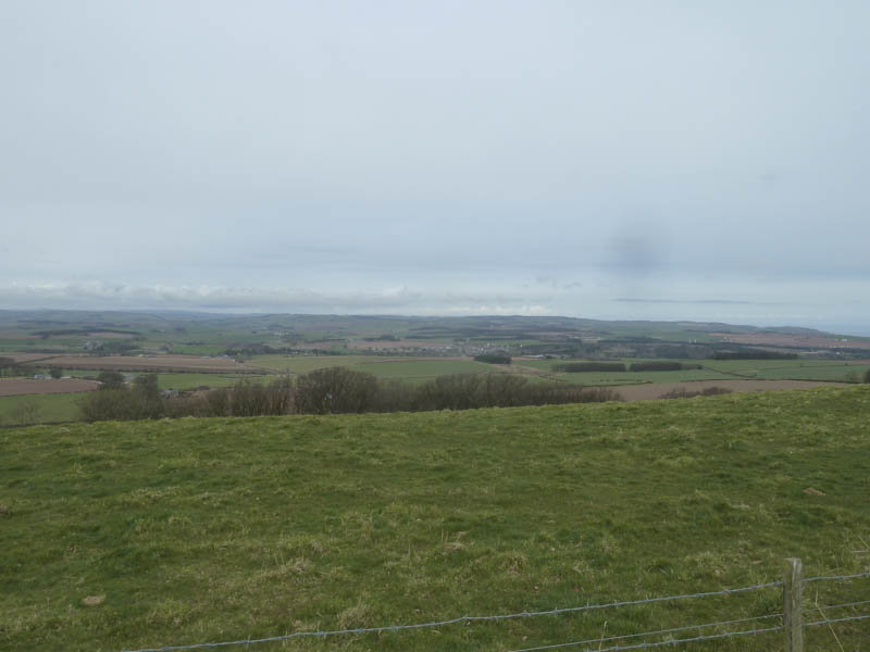
The summit also consisted of a replica whale bone and the remnants of an old fort. There were good views of the surrounding countryside including the Firth of Forth and the Bass Rock.
![Towards Dunbar](https://scotlandhills.net/wp-content/uploads/2021/02/05-Towards-Dunbar.jpg)
![East Lothian](https://scotlandhills.net/wp-content/uploads/2021/02/06-East-Lothian.jpg)
![Replica Whale Bone](https://scotlandhills.net/wp-content/uploads/2021/02/07-Replica-Whale-Bone.jpg)
![Firth of Forth](https://scotlandhills.net/wp-content/uploads/2021/02/08-Firth-of-Forth.jpg)
![North Berwick and Bass Rock](https://scotlandhills.net/wp-content/uploads/2021/02/09-North-Berwick-and-Bass-Rock.jpg)
![Ruin near summit of North Berwick Law](https://scotlandhills.net/wp-content/uploads/2021/02/10-Ruin-near-summit-of-North-Berwick-Law.jpg)
The return was by the upward route.
![Exmoor Ponies](https://scotlandhills.net/wp-content/uploads/2021/02/11-Exmoor-Ponies.jpg)
Lamberton Hill: I parked on the verge of the Ayton to Lamberton Road at grid reference NT946589 then crossed a wooden barrier giving access to a line of trees on the south side of this minor road.
![Start of walk](https://scotlandhills.net/wp-content/uploads/2021/02/12-Start-of-walk.jpg)
Another wooden barrier was crossed to gain entry to a grassy field and here an electric fence prevented direct access to the summit of Lamberton Hill.
I walked along the edge of this fence until I located a suitable crossing point beside a partially tumbled down stone dyke. I then continued to an old fort then to the grassy summit of the Marilyn, Lamberton Hill, which was unmarked.
![Remnants of old fort](https://scotlandhills.net/wp-content/uploads/2021/02/13-Remnants-of-old-fort.jpg)
![Ayton](https://scotlandhills.net/wp-content/uploads/2021/02/14-Ayton.jpg)
![Ayton Hill](https://scotlandhills.net/wp-content/uploads/2021/02/15-Ayton-Hill.jpg)
To visit the trig point, located to the south-east, would have involved crossing another field of sheep and lambs so I decided to return to the start by the ascent route.
Dirrington Great Law: I parked on the east verge of the minor Duns to Gifford Road, south-east of Dronshiel, grid reference NT711552, and crossed the fence at the side of a locked gate.
![Start of walk](https://scotlandhills.net/wp-content/uploads/2021/02/16-Start-of-walk.jpg)
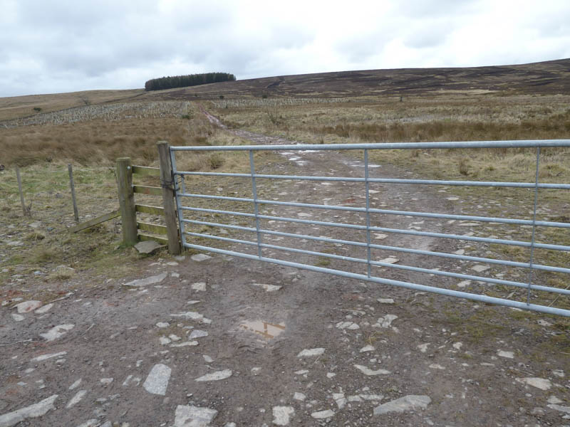
I then walked south along a rather wet and muddy vehicle track at the edge of Henlaw Wood where the trees had been harvested and new ones planted.
![Dirrington Great Law](https://scotlandhills.net/wp-content/uploads/2021/02/17-Dirrington-Great-Law.jpg)
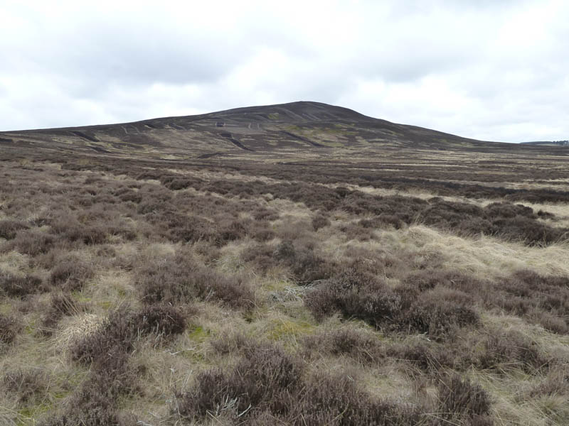
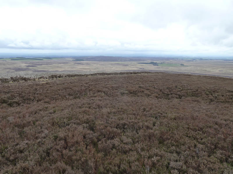
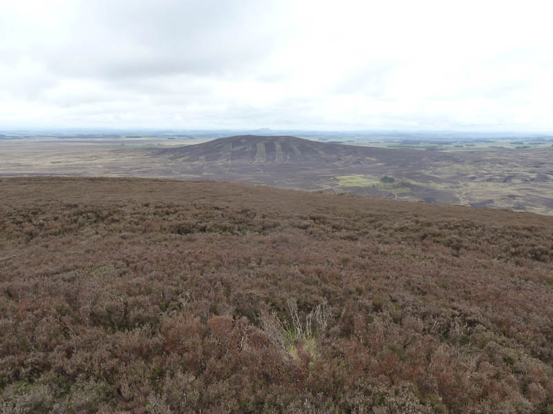
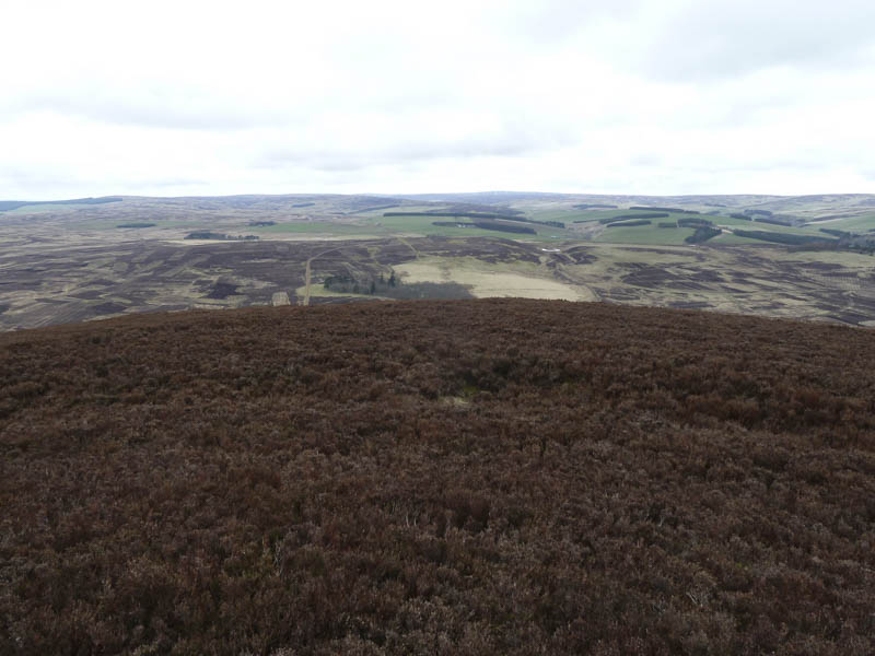
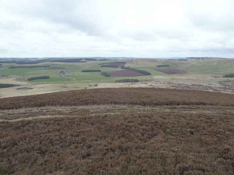
Once beyond the far end of the wood I crossed some rough ground, including heather which had been burnt over the years, onto the south-east ridge of Dirrington Great Law. A quad vehicle trail was then followed to the summit of this Marilyn which was marked by a small cairn. Nearby there was a trig point lying on its side.
![South from Dirrington Great Law](https://scotlandhills.net/wp-content/uploads/2021/02/18-South-from-Dirrington-Great-Law.jpg)
![Dirrington Little Law](https://scotlandhills.net/wp-content/uploads/2021/02/19-Dirrington-Little-Law.jpg)
![North from Dirrington Great Law](https://scotlandhills.net/wp-content/uploads/2021/02/20-North-from-Dirrington-Great-Law.jpg)
![Black Hill Wind Farm](https://scotlandhills.net/wp-content/uploads/2021/02/21-Black-Hill-Wind-Farm.jpg)
I returned by the upward route trying to avoid parts of the muddy vehicle track.
![Frog](https://scotlandhills.net/wp-content/uploads/2021/02/22-Frog.jpg)
- Total time – 2.5 hours.
- Total distance – 7.5 kilometres.
- Total height climbed – 375 metres.