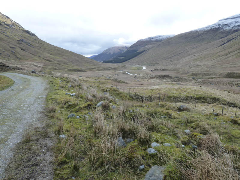
The starting point for this ascent of the Munro, Beinn Chabhair, was the car park at Inverlochlarig, reached along a single track road on the north shore of Loch Voil, from Balquhidder in the Trossachs. I walked west through the farm at Inverlochlarig then along the farm track in the glen of the River Larig.
![Hind and ram](https://scotlandhills.net/wp-content/uploads/2021/02/01-Hind-and-ram.jpg)
![Pony](https://scotlandhills.net/wp-content/uploads/2021/02/02-Pony.jpg)
![Glen of the River Larig](https://scotlandhills.net/wp-content/uploads/2021/02/03-Glen-of-the-River-Larig.jpg)
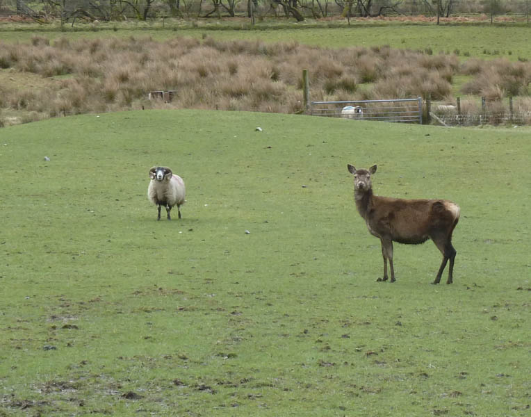
It was initially cloudy with a cool breeze and the streams were running fairly high after overnight rain and snow higher up. However I managed to cross the burns without getting my feet wet and at the Ishag Burn used the old bridge beside the sheep pens.
![Stob an Duibhe and Meall Mor](https://scotlandhills.net/wp-content/uploads/2021/02/04-Stob-an-Duibhe-and-Meall-Mor.jpg)
![Looking back down Glen of the River Larig](https://scotlandhills.net/wp-content/uploads/2021/02/05-Looking-back-down-Glen-of-the-River-Larig.jpg)
![Beinn Tulaichean](https://scotlandhills.net/wp-content/uploads/2021/02/06-Beinn-Tulaichean.jpg)
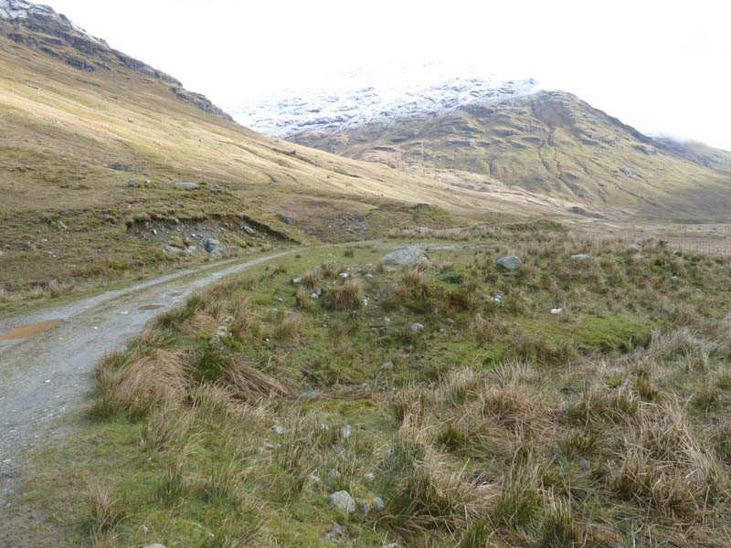
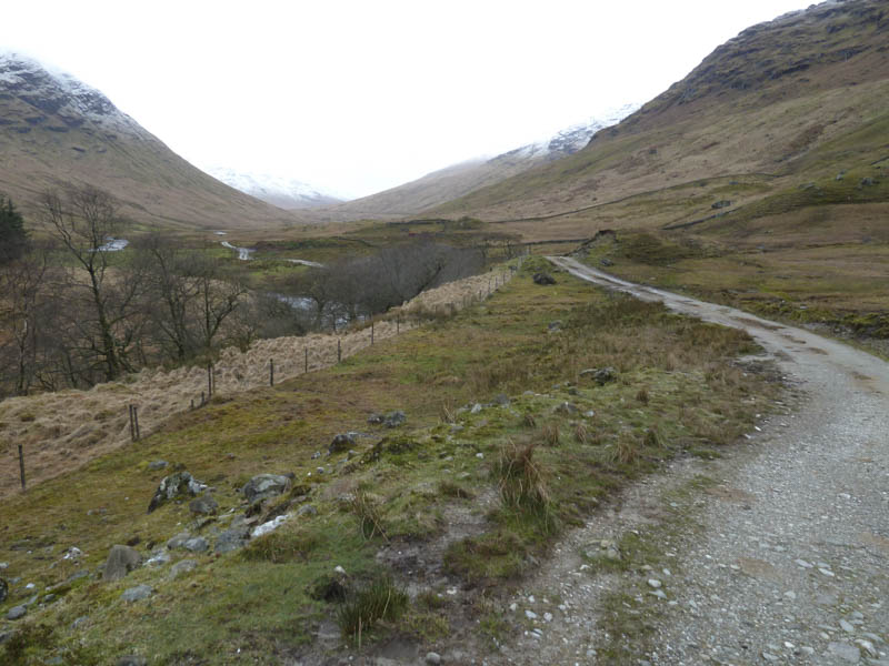
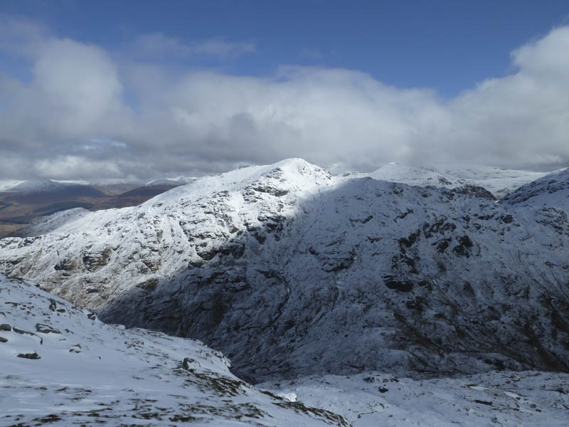
Once below the Munro, Beinn a’ Chroin, and at a point where the track descended back towards the River Larig, I left the track and crossed the lower reaches of this Munro. Underfoot it was quite wet with several small gullies to cross. Height was slowly gained then I entered Coire a’ Chuilinn where there was some wet snow.
![View back down Coire a' Chuilinn. Meall Mor beyond](https://scotlandhills.net/wp-content/uploads/2021/02/07-View-back-down-Coire-a-Chuilinn.-Meall-Mor-beyond.jpg)
![Route towards col between An Caisteal and Beinn Chabhair](https://scotlandhills.net/wp-content/uploads/2021/02/08-Route-towards-col-between-An-Caisteal-and-Beinn-Chabhair.jpg)
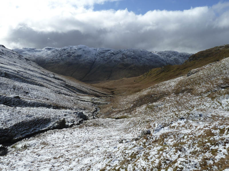
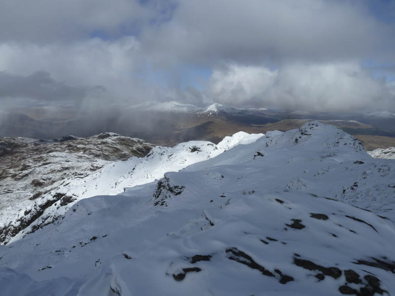
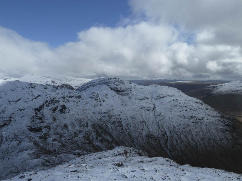
The corrie narrowed as I reached the stream and its several tributaries with more fresh snow cover here. I continued to the coll between An Caisteal and Beinn Chabhair then headed onto Beinn Chabhair.
![Ascending Beinn Chabhair](https://scotlandhills.net/wp-content/uploads/2021/02/09-Ascending-Beinn-Chabhair.jpg)
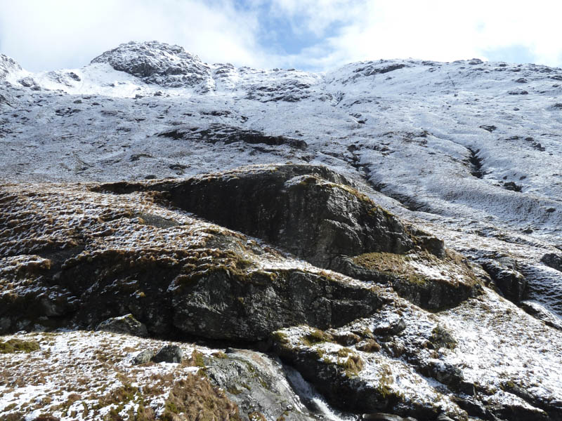
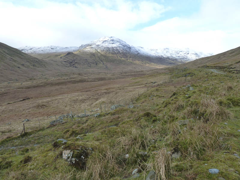
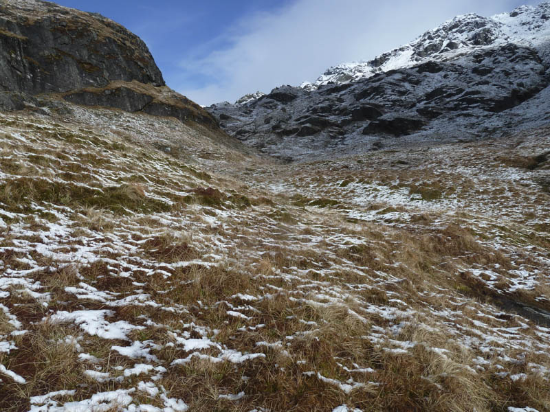
It was quite slippery due to the wet snow which also concealed some small boulders and slab rock. Higher up an old snowfield covered in fresh snow was crossed then it was a short ascent to the summit cairn.
![Loch Katrine beyond Meall Mor](https://scotlandhills.net/wp-content/uploads/2021/02/10-Loch-Katrine-beyond-Meall-Mor.jpg)
![Ben Lomond and Loch Lomond in distance](https://scotlandhills.net/wp-content/uploads/2021/02/11-Ben-Lomond-and-Loch-Lomond-in-distance.jpg)
![Lochan Beinn Chabhair](https://scotlandhills.net/wp-content/uploads/2021/02/12-Lochan-Beinn-Chabhair.jpg)
![North-West Ridge Beinn Chabhair](https://scotlandhills.net/wp-content/uploads/2021/02/13-North-West-Ridge-Beinn-Chabhair.jpg)
![An Caisteal](https://scotlandhills.net/wp-content/uploads/2021/02/14-An-Caisteal.jpg)
![Beinn a' Chroin](https://scotlandhills.net/wp-content/uploads/2021/02/15-Beinn-a-Chroin.jpg)
![Glen of the River Larig. Stob a' Choin beyond](https://scotlandhills.net/wp-content/uploads/2021/02/16-Glen-of-the-River-Larig.-Stob-a-Choin-beyond.jpg)
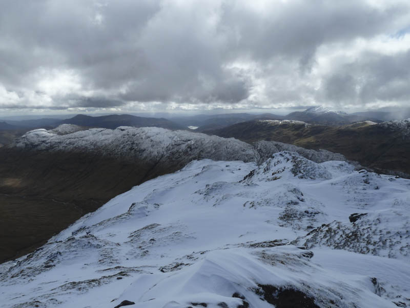
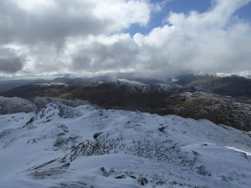
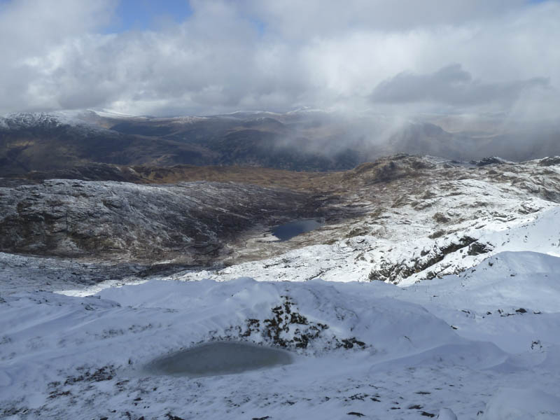
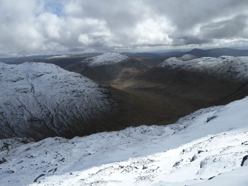
A cold wind was blowing and a shower passed through to the west so after taking a few photos I returned by the ascent route slipping a few times on the wet snow.
- Time taken – 7 hours.
- Distance – 21 kilometres.
- Height climbed – 865 metres.