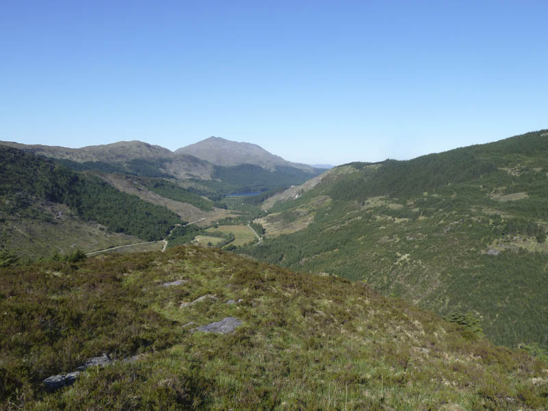
I drove from the village of Strontian in Sunart, across the minor hill road leading to Polloch but at Kinlochan left this public road and drove north then north-east along a forest track in Glen Hurich. There were no signs regarding access nor were there any gates so I continued passed the unoccupied Glenhurich Cottage, crossed the bridge over the River Hurich, and parked at the side of the vehicle track.
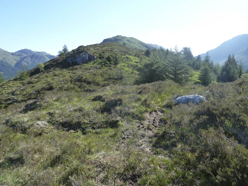
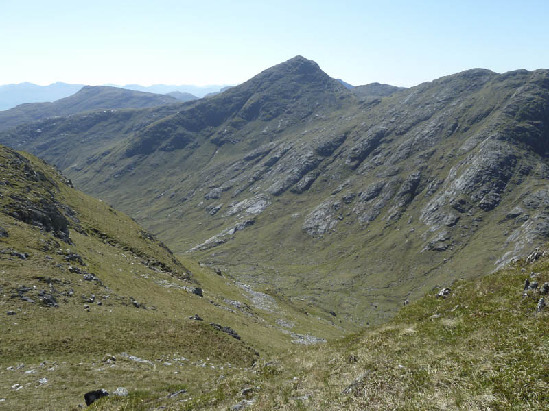
We then set off along the forest track, crossed the bridge over the Allt an Dubh Choirein, and headed for Gleann an Dub Choirein. At the second major bend in the track we located the small cairn marking the start of the route through the trees and onto the Beinn Mheadhoin ridge. Initially it was rough going with overhanging branches and some fallen trees. Once on the open hillside we continued along a walker’s path which amongst the heather wasn’t obvious at times and up the undulating ridge.
![Glen Hurich, Loch Doil and Beinn Resipol](https://scotlandhills.net/wp-content/uploads/2021/02/01-Glen-Hurich-Loch-Doil-and-Beinn-Resipol.jpg)
![Route towards Beinn Mheadhoin](https://scotlandhills.net/wp-content/uploads/2021/02/02-Route-towards-Beinn-Mheadhoin.jpg)
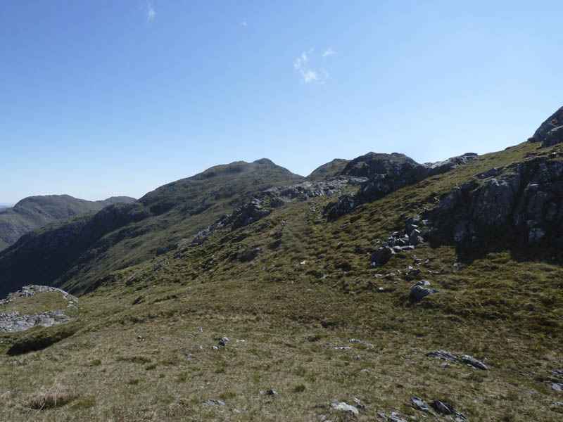
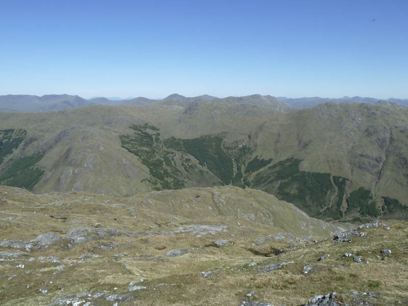
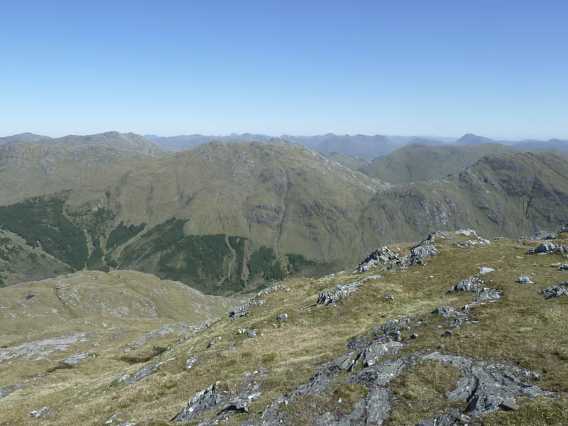
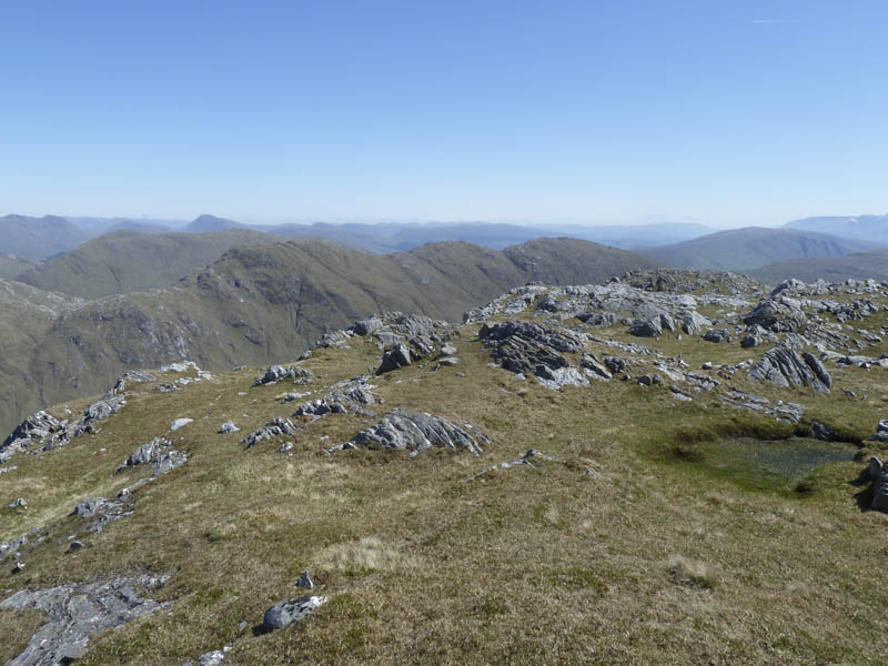
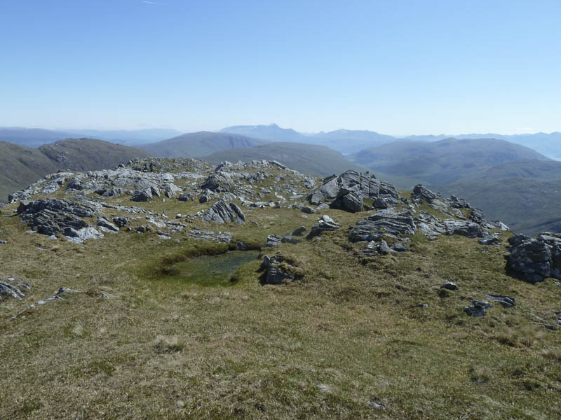
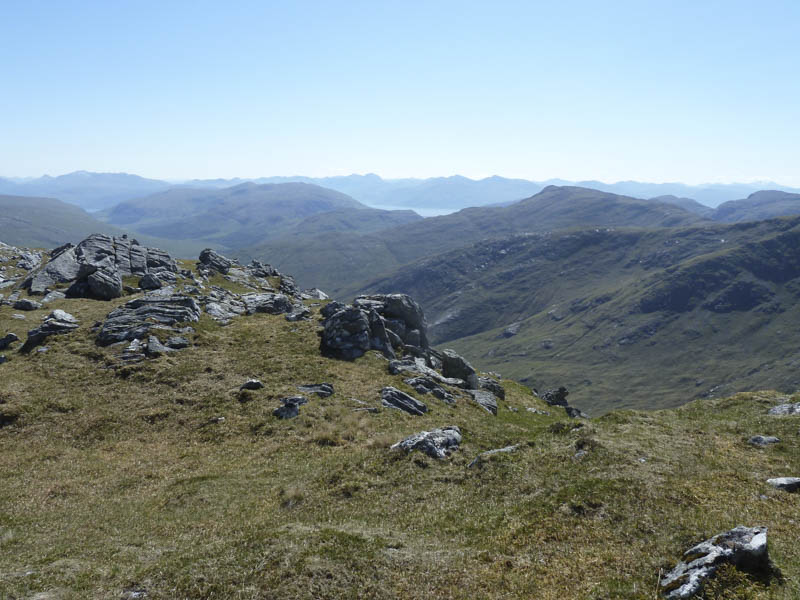
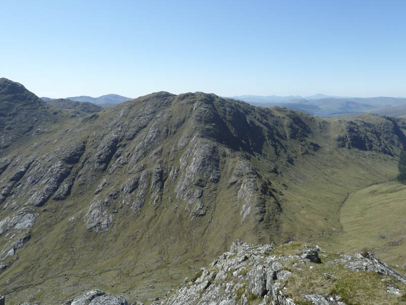
A slight diversion took us to the summit of the Sub Dodd, Beinn Mheadhoin. After a break here we continued along the ridge towards Carn na Nathrach with numerous ups and downs.
![Route towards Carn na Nathrach](https://scotlandhills.net/wp-content/uploads/2021/02/03-Route-towards-Carn-na-Nathrach.jpg)
![Approaching summit of Carn na Nathrach](https://scotlandhills.net/wp-content/uploads/2021/02/04-Approaching-summit-of-Carn-na-Nathrach.jpg)
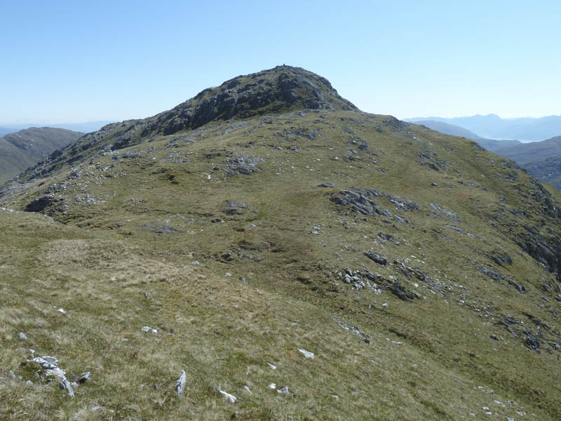
A deer fence had to be crossed before we eventually reached the summit of this Corbett marked by a cairn.
![Sgurr Dhomhnuill](https://scotlandhills.net/wp-content/uploads/2021/02/05-Sgurr-Dhomhnuill.jpg)
![Meall Daimh and Stob a' Bhealach an Sgriodain](https://scotlandhills.net/wp-content/uploads/2021/02/06-Meall-Daimh-and-Stob-a-Bhealach-an-Sgriodain.jpg)
![Meall Mor](https://scotlandhills.net/wp-content/uploads/2021/02/07-Meall-Mor.jpg)
![Stob Mhic Bheathain](https://scotlandhills.net/wp-content/uploads/2021/02/08-Stob-Mhic-Bheathain.jpg)
![Ben Nevis in the distance](https://scotlandhills.net/wp-content/uploads/2021/02/09-Ben-Nevis-in-the-distance.jpg)
![Towards Loch Linnhe](https://scotlandhills.net/wp-content/uploads/2021/02/10-Towards-Loch-Linnhe.jpg)
![Druim Garbh](https://scotlandhills.net/wp-content/uploads/2021/02/11-Druim-Garbh.jpg)
![Gleann an Dubh Choirein , Beinn Mheadhoin and Beinn Resipol](https://scotlandhills.net/wp-content/uploads/2021/02/12-Gleann-an-Dubh-Choirein-Beinn-Mheadhoin-and-Beinn-Resipol.jpg)
The return was by the upward route.
- Time taken – 6 hours.
- Distance – 12 kilometres.
- Height climbed – 850 metres.