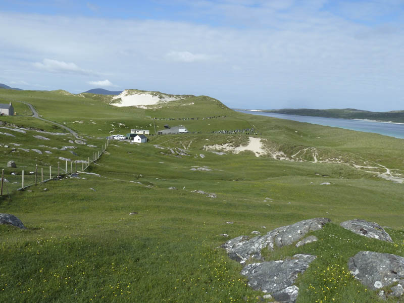
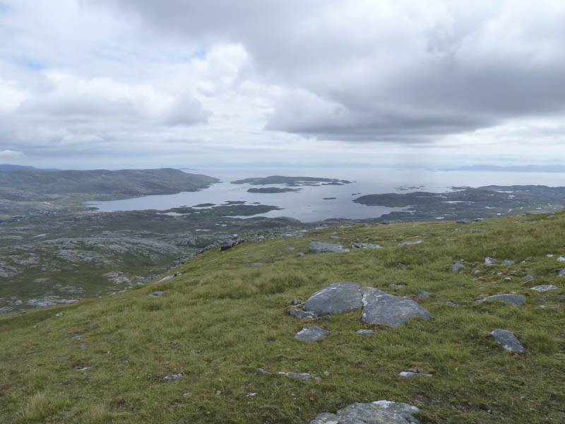
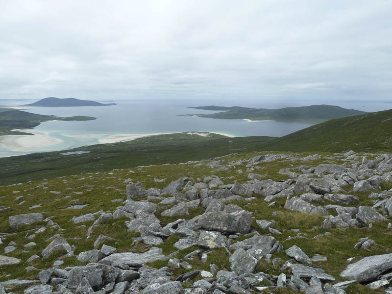
I parked in the Losgaintir Beach and Cemetery car park which was accessed from the A859 Leverburgh to Tarbert Road, Isle of Harris. This minor road ran along the north side of the famous Losgaintir Beach. On setting out on foot I passed through a gate leading to the beach then turned uphill, crossing a wet area, before reaching a gate in a stone dyke topped with wire.
![Route to Beinn Dhubh](https://scotlandhills.net/wp-content/uploads/2021/01/01-Route-to-Beinn-Dhubh.jpg)
![View back to start](https://scotlandhills.net/wp-content/uploads/2021/01/02-View-back-to-start.jpg)
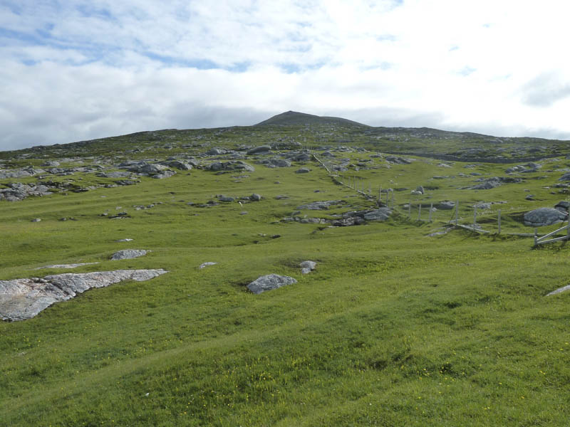
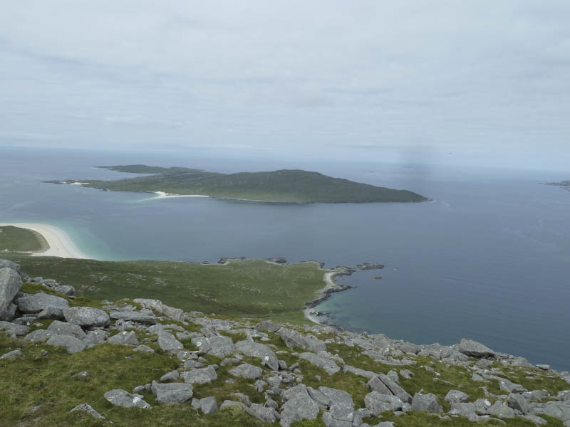
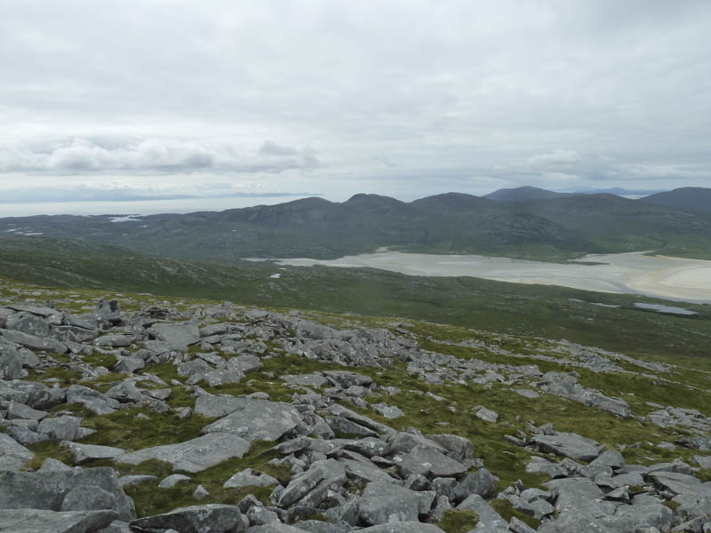
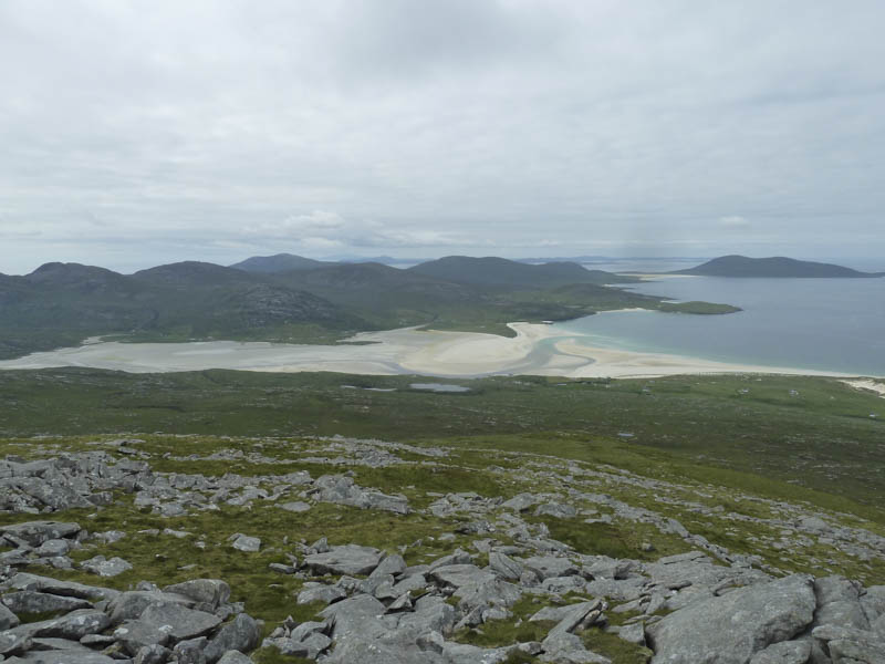
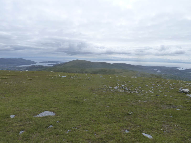
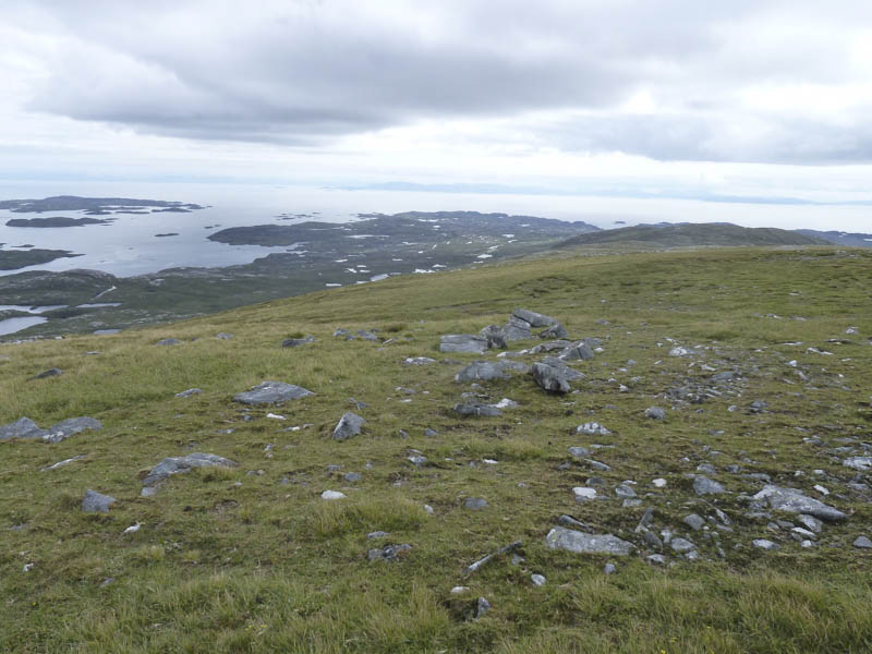
Beyond this gate and after walking over some rough vegetation I arrived at a mesh stock fence with no break in it. A bit of demolition and rebuilding of an area of boulders was required to allow the dog to squeeze below the fence. The gradient then increased as I headed onto the west ridge of the Marilyn, Beinn Dhubh, where there were good views including of Losgaintir Beach.
![Approaching steeper ground on Beinn Dhubh](https://scotlandhills.net/wp-content/uploads/2021/01/03-Approaching-steeper-ground-on-Beinn-Dhubh.jpg)
It was then a short walk to the summit trig point which was surrounded by a cairn.
![Losgaintir Beach and Sound of Taransay](https://scotlandhills.net/wp-content/uploads/2021/01/04-Losgaintir-Beach-and-Sound-of-Taransay.jpg)
![Isle of Taransay](https://scotlandhills.net/wp-content/uploads/2021/01/05-Isle-of-Taransay.jpg)
![Loch a' Siar and Tiorga Mor](https://scotlandhills.net/wp-content/uploads/2021/01/06-Loch-a-Siar-and-Tiorga-Mor.jpg)
![Losgaintir Beach, Heileasbhal Mor and An Coileach](https://scotlandhills.net/wp-content/uploads/2021/01/07-Losgaintir-Beach-Heileasbhal-Mor-and-An-Coileach.jpg)
![Losgaintir Beach and Ceapabhal](https://scotlandhills.net/wp-content/uploads/2021/01/08-Losgaintir-Beach-and-Ceapabhal.jpg)
![Ceann Reamhar](https://scotlandhills.net/wp-content/uploads/2021/01/09-Ceann-Reamhar.jpg)
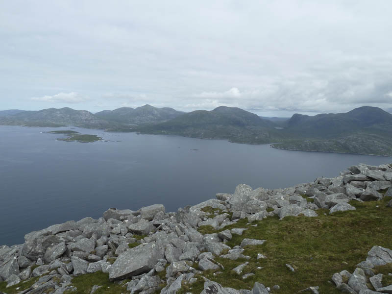
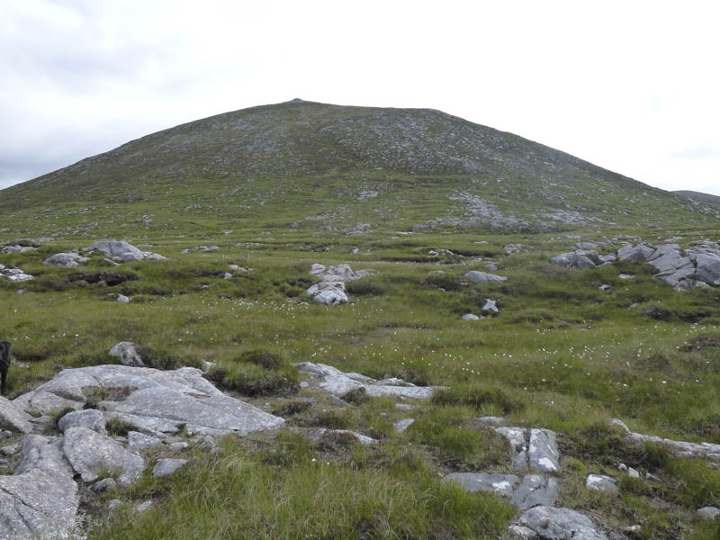
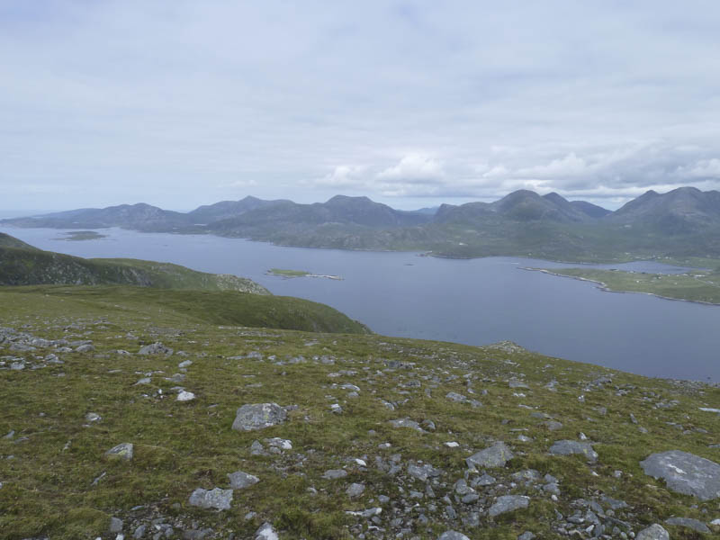
After a break here I descended south-east then walked below Beinn Losgaintir to reach the col with Ceann Reamhar the ground here being rather boggy. I then ascended this Hump locating the trig point within a shelter cairn. There were views of Tarbert and across The Minch to the Isle of Skye.
![Loch a' Siar, Tiorga Mor, Oireabhal and Uisgneabhal Mor](https://scotlandhills.net/wp-content/uploads/2021/01/10-Loch-a-Siar-Tiorga-Mor-Oireabhal-and-Uisgneabhal-Mor.jpg)
![An Cliseam and Giolabhal Glas](https://scotlandhills.net/wp-content/uploads/2021/01/11-An-Cliseam-and-Giolabhal-Glas.jpg)
![Tarbert, Loch an Tairbeairt and Isle of Scalpay](https://scotlandhills.net/wp-content/uploads/2021/01/12-Tarbert-Loch-an-Tairbeairt-and-Isle-of-Scalpay.jpg)
![Across The Minch to the Isle of Skye](https://scotlandhills.net/wp-content/uploads/2021/01/13-Across-The-Minch-to-the-Isle-of-Skye.jpg)
![Beinn Losgaintir and Beinn Dhubh](https://scotlandhills.net/wp-content/uploads/2021/01/14-Beinn-Losgaintir-and-Beinn-Dhubh.jpg)
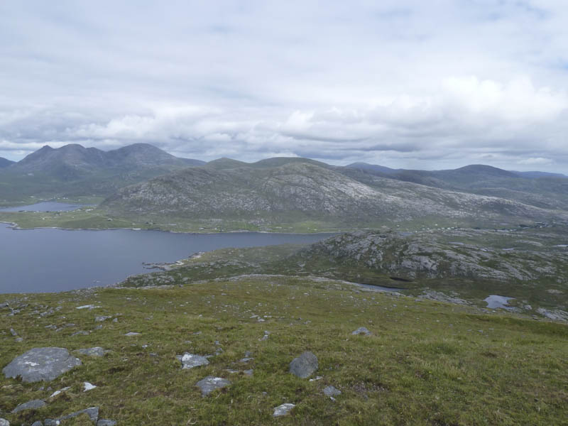
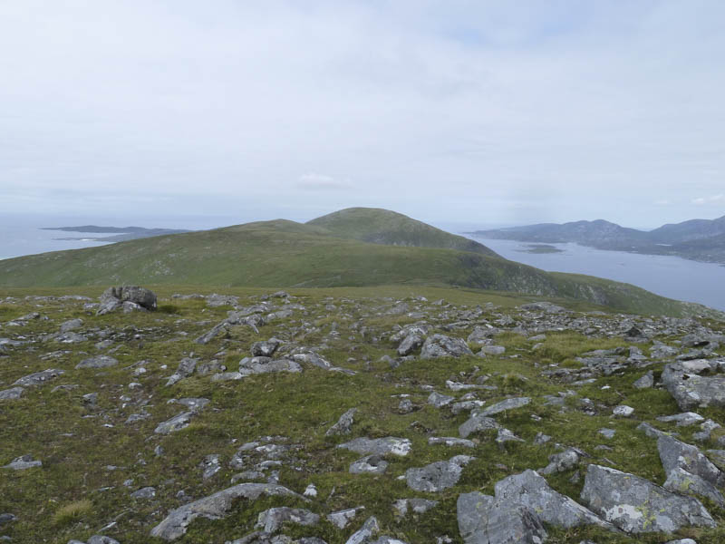
I returned to the col with Beinn Losgaintir and ascended this Tump.
![Ceann Reamhar](https://scotlandhills.net/wp-content/uploads/2021/01/15-Ceann-Reamhar.jpg)
![Ceapabhal, Sound of Taransay and Isle of Taransay](https://scotlandhills.net/wp-content/uploads/2021/01/16-Ceapabhal-Sound-of-Taransay-and-Isle-of-Taransay.jpg)
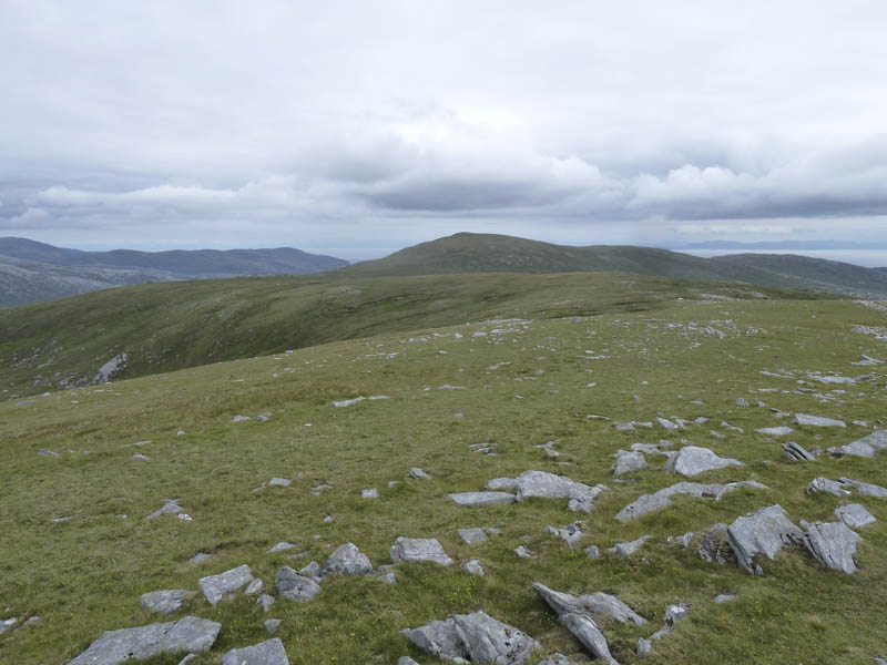
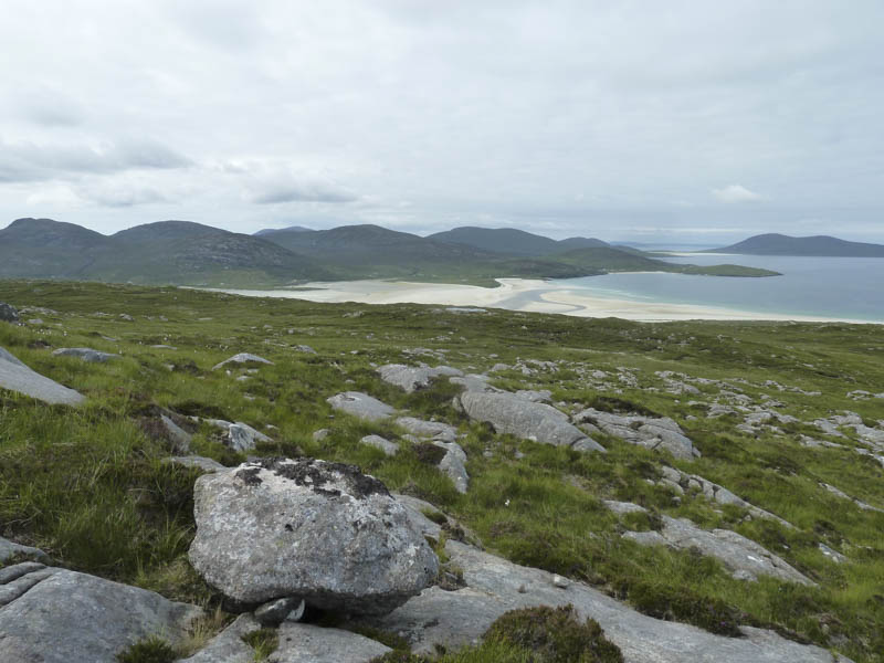
From there I descended north-west to a small lochan then west below Beinn Dhubh before heading back to the car park.
Afterwards I took a short stroll along the beach.
- Time taken – 5.5 hours.
- Distance – 12.5 kilometres.
- Height climbed – 755 metres.