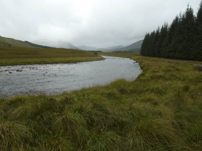
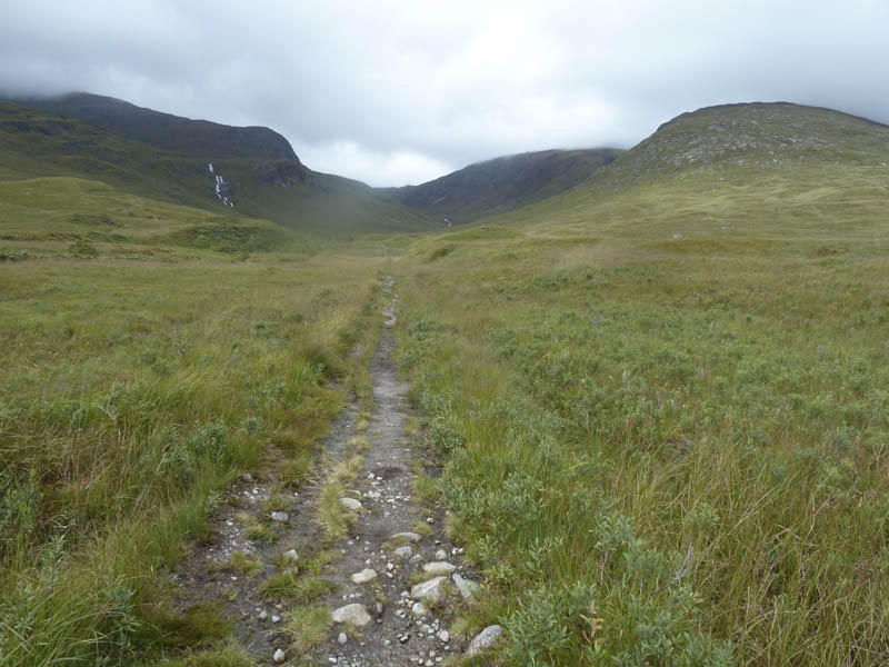
Before 8am I was parked up in the car park to the south of Victoria Bridge, accessed along a single track road from the A82 at Bridge of Orchy. I walked across a boggy path to rejoin the road to Victoria Bridge and immediately after crossing this bridge I took a left and headed along the estate track on the north side of the Abhainn Shira.
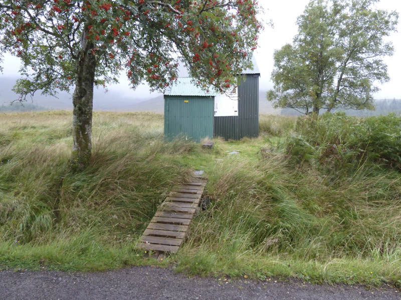
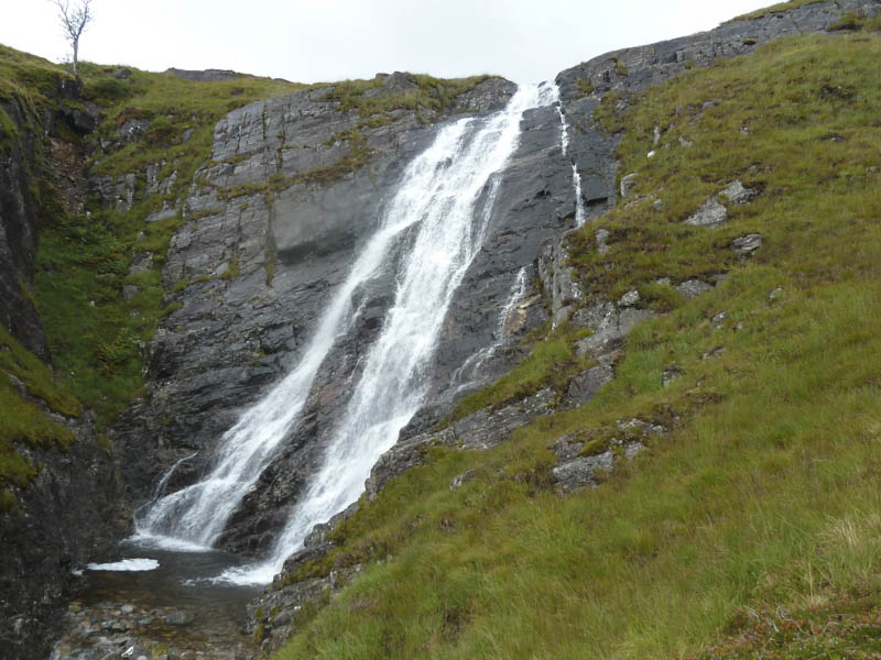
Beyond Clashgour Hut, a wet, muddy and in places eroded path, ran up the east side of the Allt Toaig.
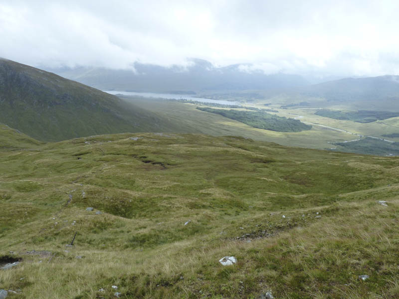
The cloud was low down on the hills and there were some light rain showers. On reaching the Allt Caolain Duibh I crossed it then followed an eroded path north-east into the cloud and onto the summit of the Munro, Stob a’ Choire Odhair. Here I sheltered behind the cairn from the wind and rain for a bite to eat.
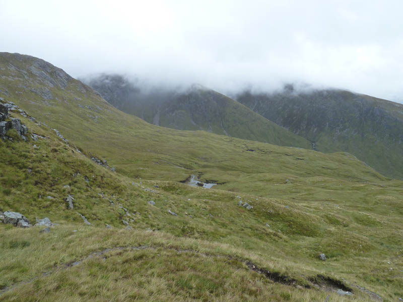
Thereafter I made the descent on a path to the col with Stob Ghabhar where the cloud briefly lifted. The path then continued west gradually gaining a bit of height until it turned south and here the gradient increased as I crossed rocks and scree to reach the cairn marking the summit of the deleted Munro Top, Aonach Eagach. A narrow ridge was then followed to another cairn at a path junction. The ridge then widened as I made the gradual ascent to the summit of the Munro, Stob Ghabhar, which was marked by a cairn.
With no views I returned to the cairn at the junction of paths then descended some stony ground which led to Stob Ghabhar’s South-East Ridge where old metal fence posts assisted navigation. Here I met three folks on their ascent of Stob Ghabhar, the only people I saw all day. Lower down and out of the cloud I crossed the Allt Coire na Muic then the path was a bit tricky to descend.
Lower down boggy ground led to the Allt Toaig and once across it I returned to the car park by the morning’s route.
- Time taken – 7 hours.
- Distance – 16 kilometres.
- Height climbed – 1260 metres.