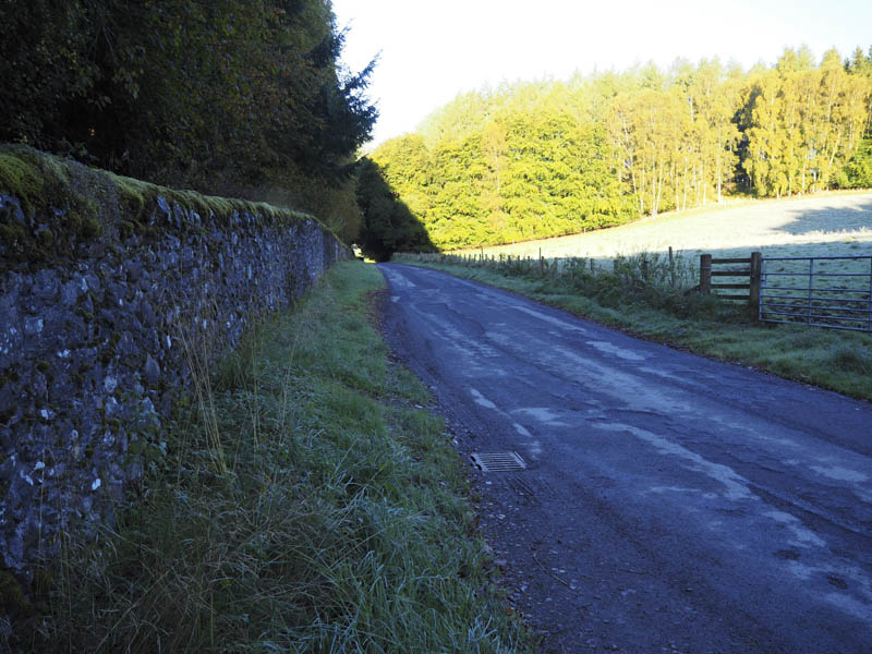
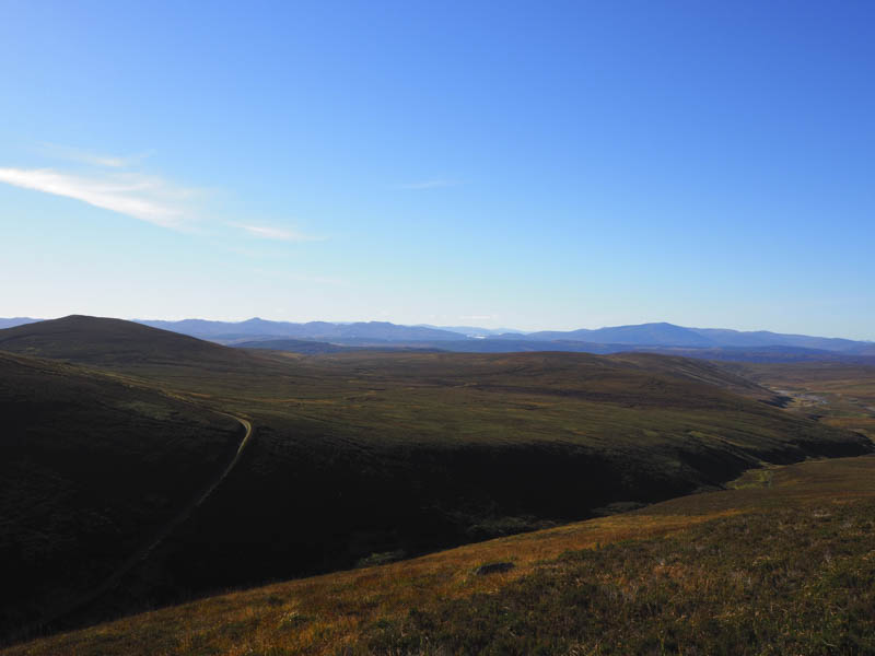
I arrived in the parking area at the Bridge of Tilt reached along the minor road from B8079 at the village of Blair Atholl. Once organised I set off on my bike along the tarred road to Old Blair then up the estate track on the west side of the Banavie Burn.
![Start of cycle towards Old Blair](https://scotlandhills.net/wp-content/uploads/2020/12/01-Start-of-cycle-towards-Old-Blair.jpg)
![Banvie Burn](https://scotlandhills.net/wp-content/uploads/2020/12/02-Banvie-Burn.jpg)
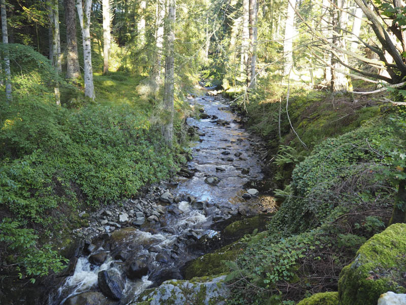
At a junction of tracks I crossed the bridge over this burn and continued up its east side and onto the open hillside.
![Leaving forest](https://scotlandhills.net/wp-content/uploads/2020/12/03-Leaving-forest.jpg)
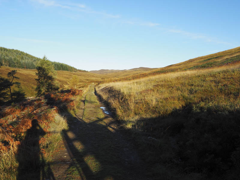
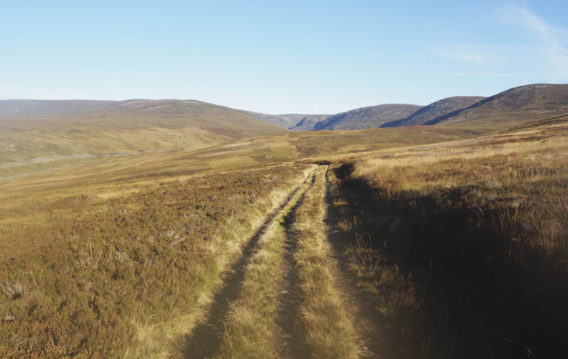
The cycling involved a steady climb but I only pushed the bike a couple of times, once being at the crossing of the Allt na Moine Baine.
![Beinn Dearg](https://scotlandhills.net/wp-content/uploads/2020/12/04-Beinn-Dearg.jpg)
![Glen Bruar to the left and in the distance](https://scotlandhills.net/wp-content/uploads/2020/12/05-Glen-Bruar-to-the-left-and-in-the-distance.jpg)
![New Hydro Scheme in Glen Bruar](https://scotlandhills.net/wp-content/uploads/2020/12/06-New-Hydro-Scheme-in-Glen-Bruar.jpg)
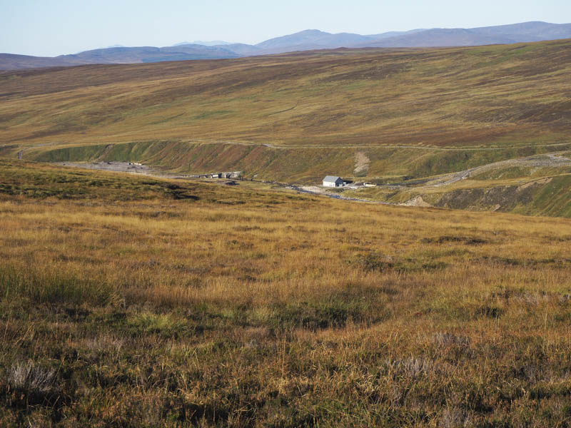
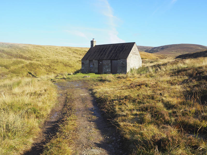
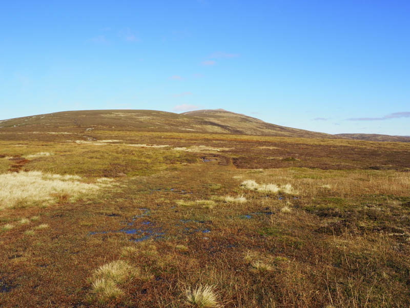
At the top of the brae leading to the Allt Scheicheachan Bothy I left my bike amongst the heather rather than pushing it uphill on the return. I walked down to the bothy where I had a snack sitting outside in the sun on one of the bothy chairs.
![Allt Scheicheachan Bothy](https://scotlandhills.net/wp-content/uploads/2020/12/07-Allt-Scheicheachan-Bothy.jpg)
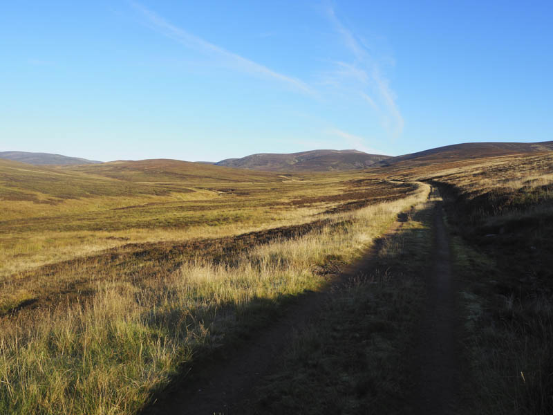
I later continued along the estate track which almost immediately crossed the Allt Sheicheachan and ran up its north side.
![Head of the Allt Sheicheachan](https://scotlandhills.net/wp-content/uploads/2020/12/08-Head-of-the-Allt-Sheicheachan.jpg)
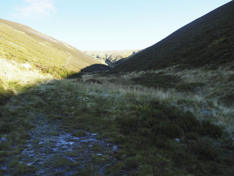
At a point where the track re-crossed the burn and headed south, a path, worn and eroded in sections, zigzagged up Beinn Dearg to a small cairn where the path turned left.
![Looking back at approach route](https://scotlandhills.net/wp-content/uploads/2020/12/09-Looking-back-at-approach-route.jpg)
![Beinn Dearg](https://scotlandhills.net/wp-content/uploads/2020/12/10-Beinn-Dearg.jpg)
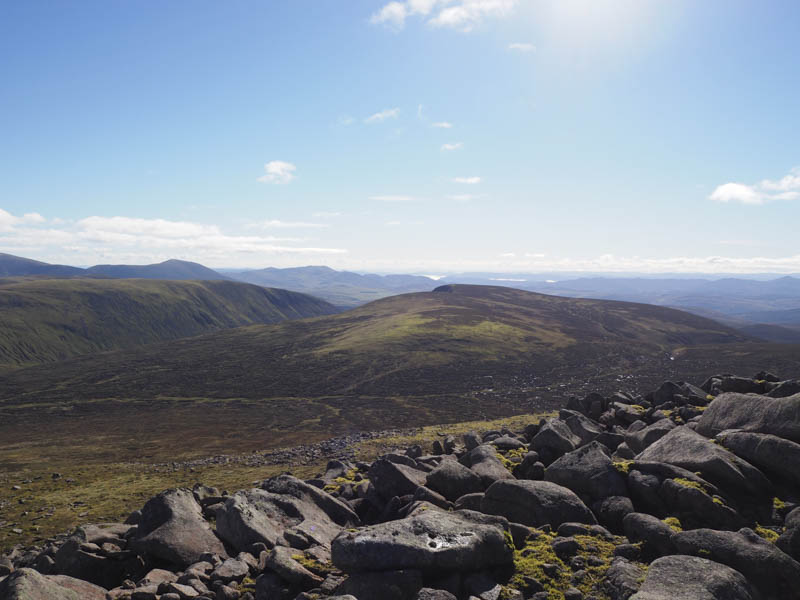
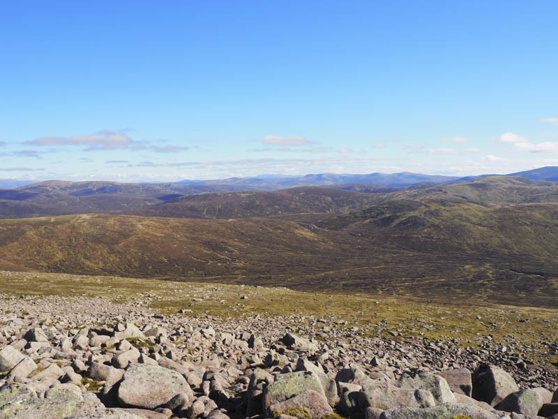
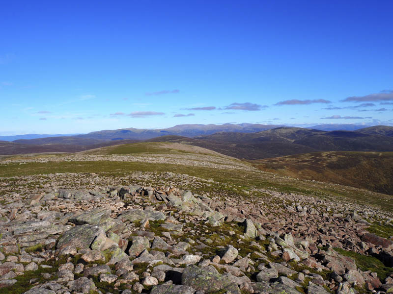
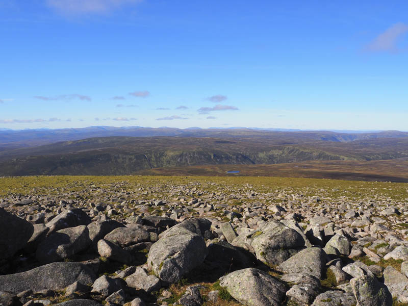
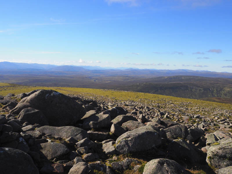
Despite a dry period of weather the next section of the path in places was wet and boggy until the path steepened to reach a small knoll. Beyond a wee dip, rocky ground was crossed to reach the summit trig point then the highest point of this Munro, a pointed boulder. Here I met a couple of females who had ascended from the bothy having slept there overnight.
![Beinn Mheadhonach, Beinn a' Chait and towards Blair Atholl](https://scotlandhills.net/wp-content/uploads/2020/12/11-Beinn-Mheadhonach-Beinn-a-Chait-and-towards-Blair-Atholl.jpg)
![Beinn Mheadhonach, Carn a' Chlamain and Beinn a' Ghlo](https://scotlandhills.net/wp-content/uploads/2020/12/12-Beinn-Mheadhonach-Carn-a-Chlamain-and-Beinn-aGhlo.jpg)
![Cairngorms in the distance](https://scotlandhills.net/wp-content/uploads/2020/12/13-Cairngorms-in-the-distance.jpg)
![Beinn Gharbh and Beinn Bhreac](https://scotlandhills.net/wp-content/uploads/2020/12/14-Beinn-Gharbh-and-Beinn-Bhreac.jpg)
![View west across Glen Bruar](https://scotlandhills.net/wp-content/uploads/2020/12/15-View-west-across-Glen-Bruar.jpg)
![Towards Glen Garry](https://scotlandhills.net/wp-content/uploads/2020/12/16-Towards-Glen-Garry.jpg)
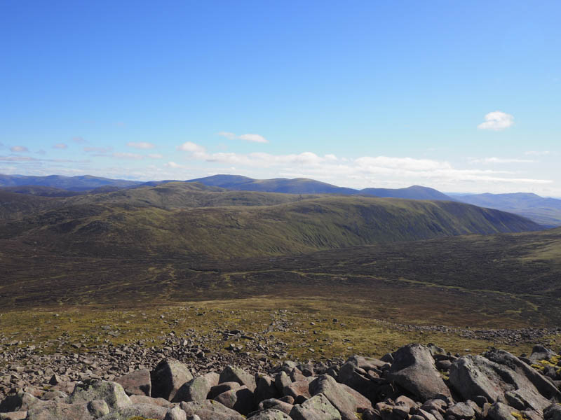
My return was by the ascent route stopping again to sit outside the bothy this time for lunch. On approaching the finish I opted to remain on the east side of the Banavie Burn thus avoiding the short climb out of Old Blair.
- Time taken – 6.75 hours.
- Distance – 32 kilometres.
- Height climbed – 1080 metres.