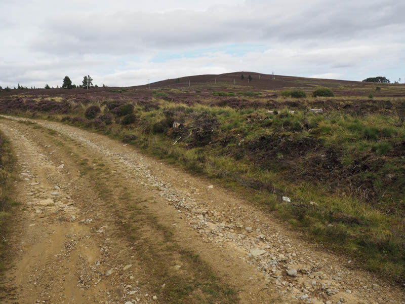
Carn Ruigh Chorrach and Craig Tiribeg: We left my car on the minor road that runs between the A939 Nairn to Grantown of Spey Road and the B9007 Forres to Carrbridge Road at the south end of the trees surrounding Lochindorb Lodge. We then crossed the road and walked along the vehicle track to Corrycharcle passing through a small woodland en-route.
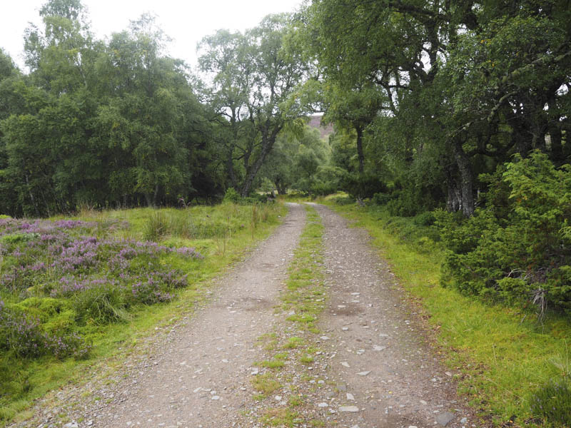
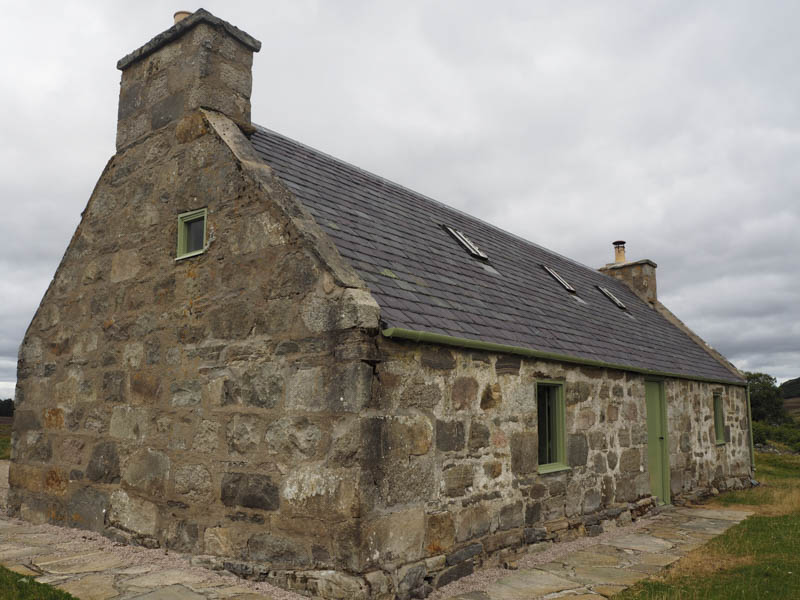
At this secure house, which appeared to be used as a shooter’s bothy, the track continued south then south east over the south-west shoulder of Carn Ruigh Chorrach although this was not shown on my map. I’m advised that the track extends towards Grantown on Spey.
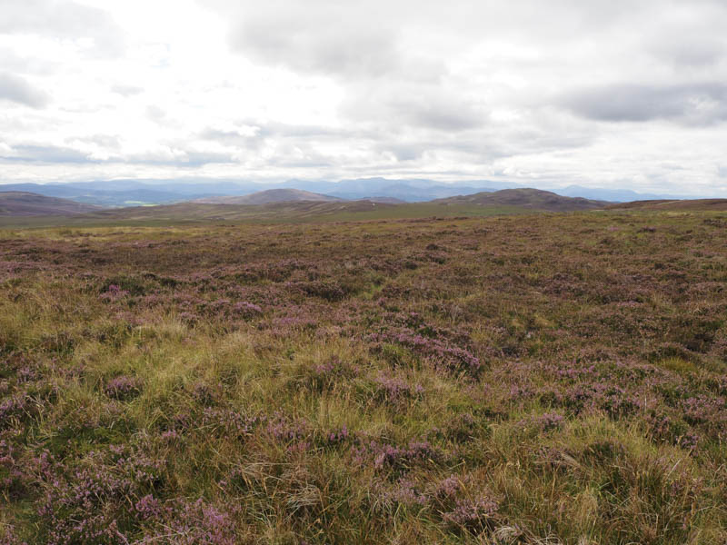
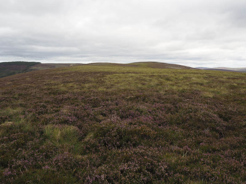
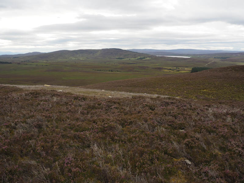
At the track’s high point we left it and walked north-east across some heathery vegetation, occasionally using animal trails, to reach the trig point marking the summit of the Tump, Carn Ruigh Chorrach.
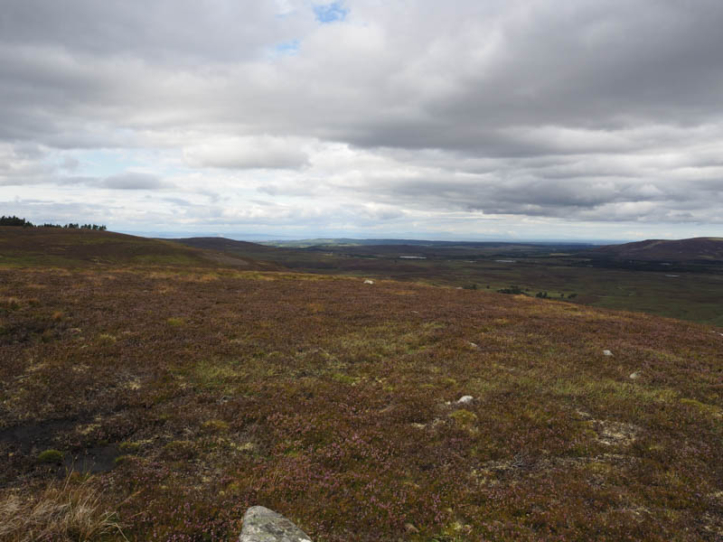
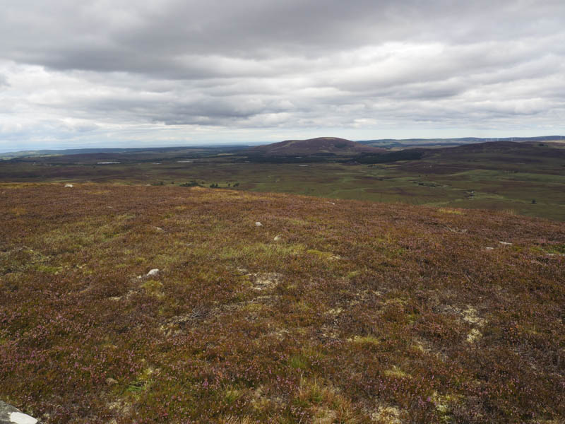
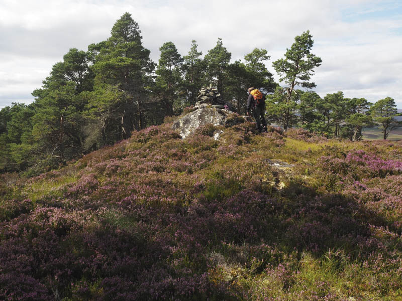
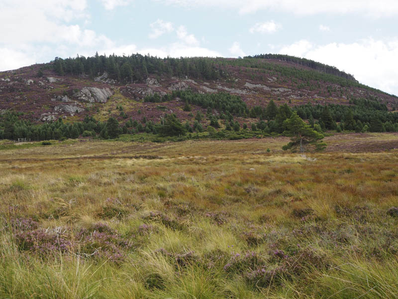
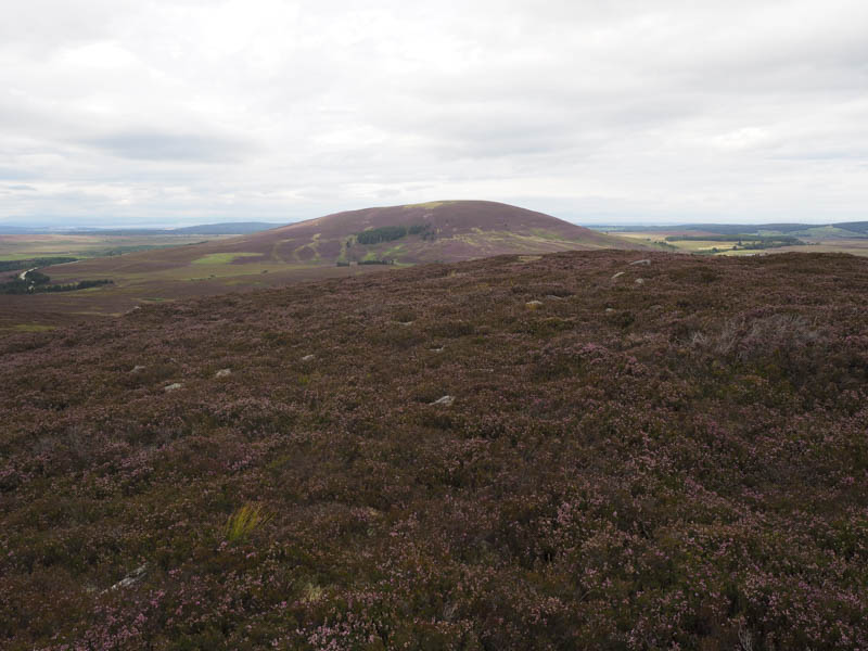
From there we descended through some tussocky ground before heading for the cairn on Carn na h-Ath-aoil. It was still tough going as we headed north-west to the forest but once over the fence and amongst the trees the walking was a bit easier as the trees were well spaced. The summit of the Hump, Craig Tiribeg, marked by a cairn perched on a large rock, was reached.
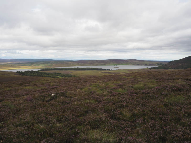
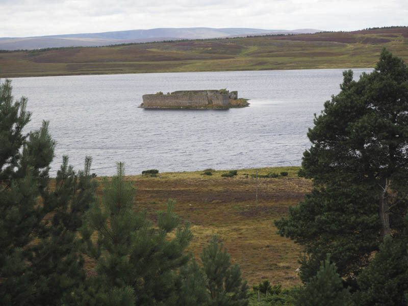
The descent south-west was fairly steep and included long heather, a few hidden rocks and some young fir trees. This took us to a forest track which led to the road near Lochindorb Castle followed by a road walk along the side of Lochindorb back to my car.
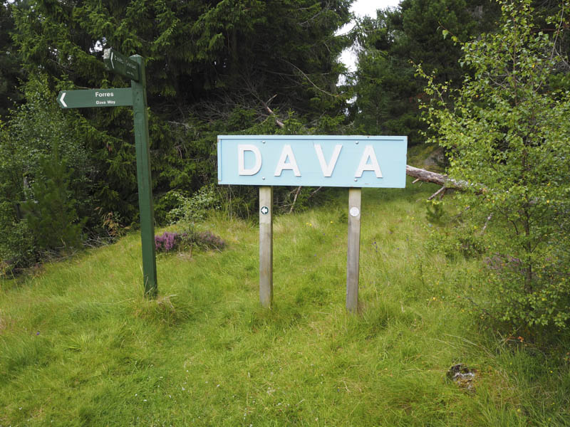
Carn Biorach: It was then a short drive to Dava at the junctions of the A939 Nairn to Grantown of Spey Road and A940 Dava to Forres Road, parking at the start of the vehicle track that led to Dava Old Station.
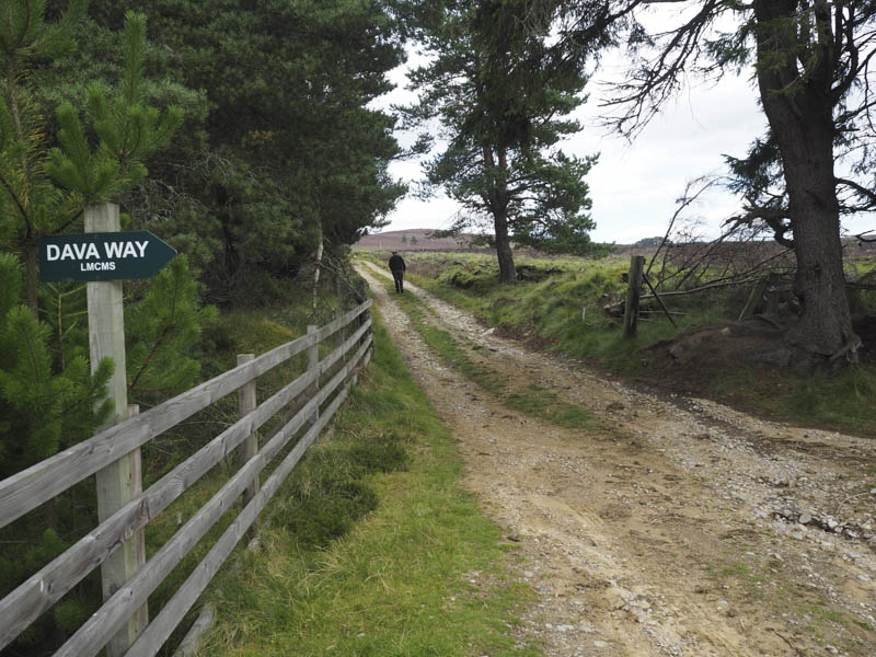
We then walked along this track, crossed the Dava Way, and headed east towards Aittendow.
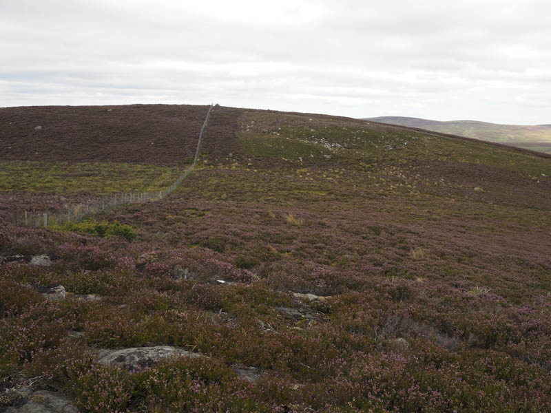
At a rough track leading to a telecommunications tower we headed up this track and onto the west ridge of Carn Biorach and followed a stock fence with a slight dip before reaching a junction of fences and the summit of this Tump.
We then retraced our route back to the start.
- Total time – 3.5 hours.
- Total distance – 12.25 kilometres.
- Total height climbed – 400 metres.