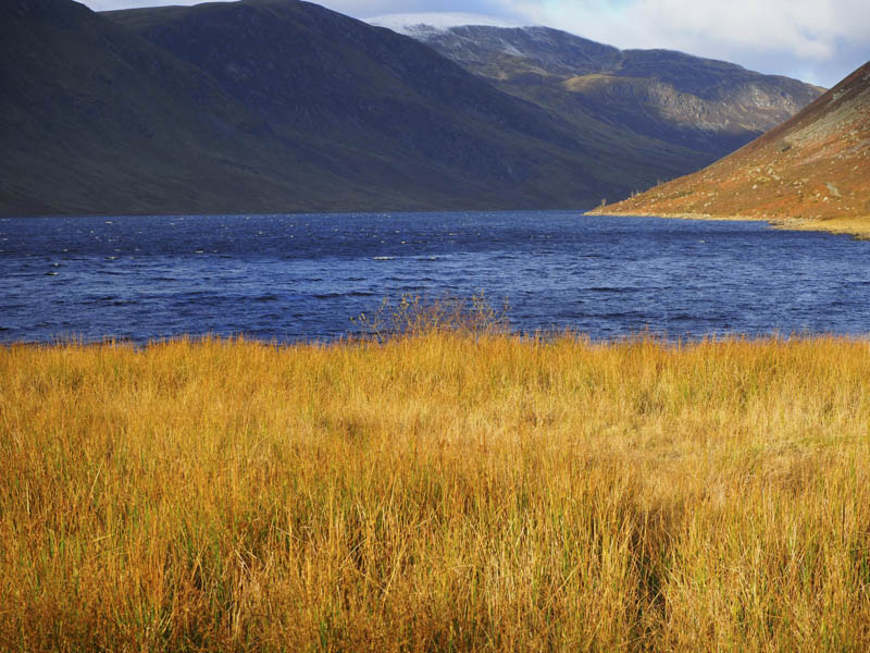
The starting point for the ascent of the Corbett, Auchnafree Hill, was the car park at the south end of Loch Turret Reservoir accessed along Glen Turret, north-west of Crieff. There were already several vehicles parked there but on this outing I saw few walkers.
I set off along the track on the east side of the Reservoir on what was a sunny but windy morning.
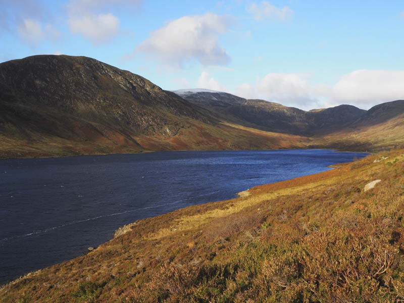
On crossing Gilbert’s Burn near the north end of the Reservoir, rather than take the longer and easier route using vehicle tracks, I opted for a more direct route up the side of the burn. It turned out to be easier than expected as there were several sheep trails to follow through the rough vegetation.
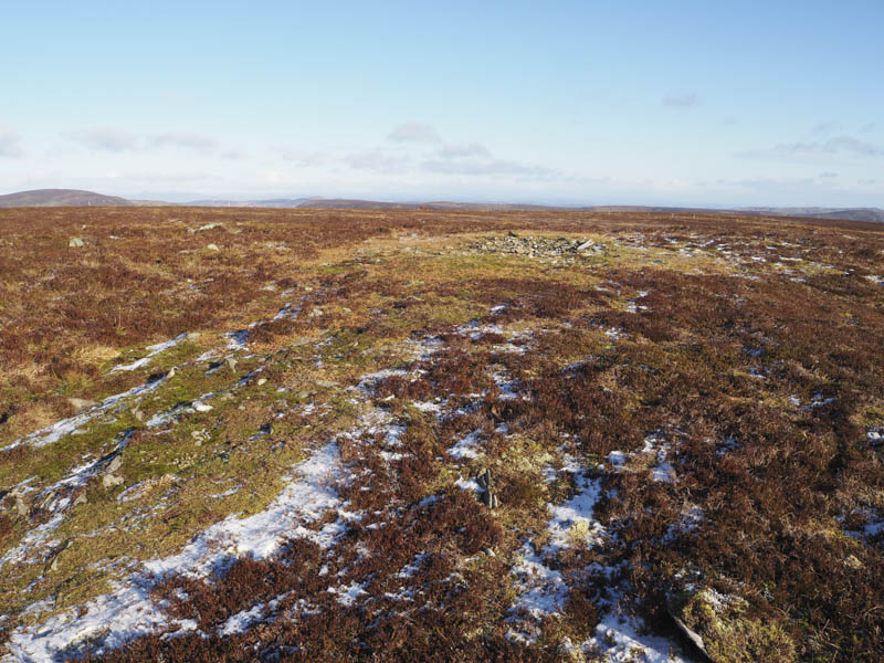
High up I joined the vehicle track and headed along it to a junction of tracks where I took a left but the track wasn’t gaining much height so I decided to leave it and make a more direct approach onto Auchnafree Hill. Due to the strength of the wind it was a bit of a struggle to reach the summit which was supposed to be marked by a small cairn. However it no longer existed and I wondered if folks had moved the stones from the smaller cairn to the larger and lower one, although a pointless exercise as the height of the cairn is immaterial.
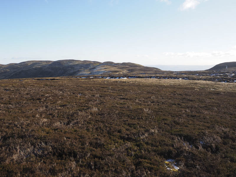
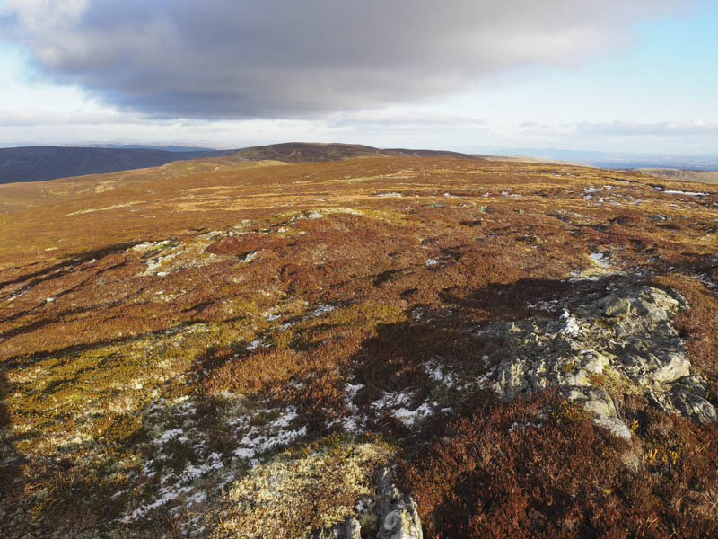
It was too windy for me to remain on this exposed summit and despite the wind I decided to continue with my plan to take in a couple of Corbett Tops. With the wind on my back I headed east then south-east following a line of old fence posts taking a few diversions to avoid icy pools. There were also numerous peat hags to contend with but on the whole they were frozen making things easier. I ascended Stonefield Hill the highest point marked by split rocks.
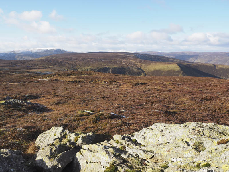
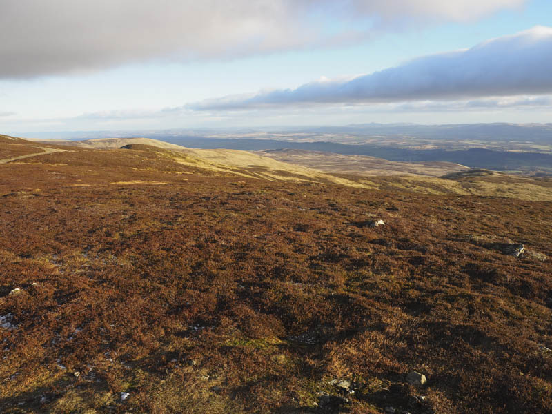
After a break here, sheltering from the wind which now wasn’t as strong, I descended west through more peat hags trying to avoid losing too much height. I spotted some frozen boot prints and later learned from the Hill Bagging web site that a chap had been this way the previous day. Areas of cut heather were followed before making the final ascent to the summit of Choinneachain Hill.
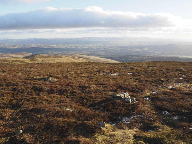
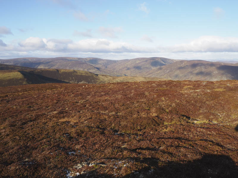
From there I descended south-west then south on a walker’s path which took me through some rock and lower down heather. I passed a chap and his dog taking a break, the only person I met on these hills.
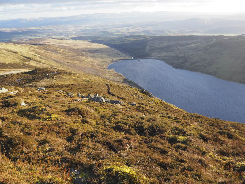
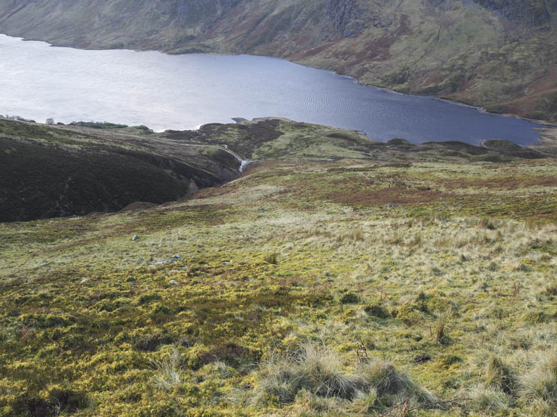
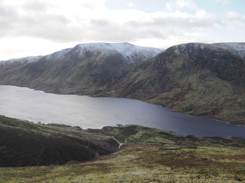
The path later split and led to the vehicle track just north of the dam then it was a short walk back to the car park.
- Time taken – 5.25 hours.
- Distance – 15.5 kilometres.
- Height climbed – 645 metres.