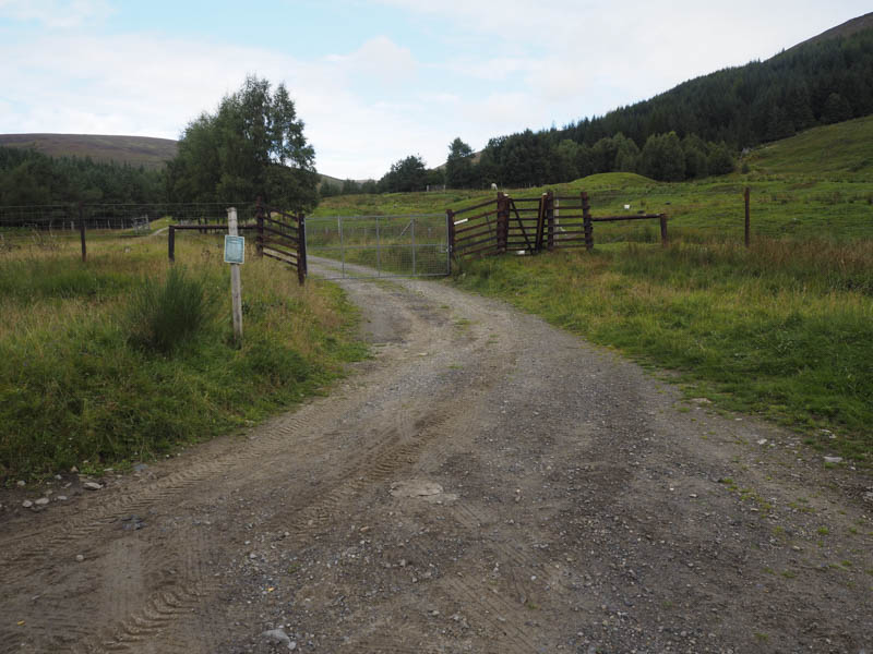
I left my vehicle in the car park at Innerwick, Glen Lyon, accessed from the B846 Aberfeldy to Tummel Bridge Road at Coshieville, and walked across the road bridge over the Allt Ghallabhaich, passed the war memorial and onto the vehicle track that ran up the east side of this stream where new gates had been installed.
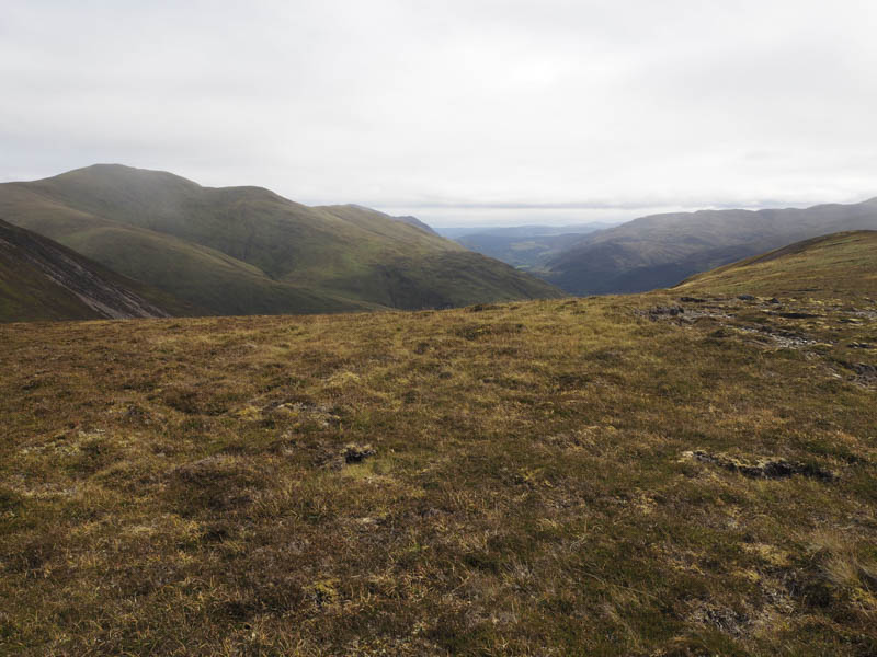
The track continued up the side of the forest gradually rising away from the Allt Ghallabhaich and towards the Lairig Ghallabhaich.
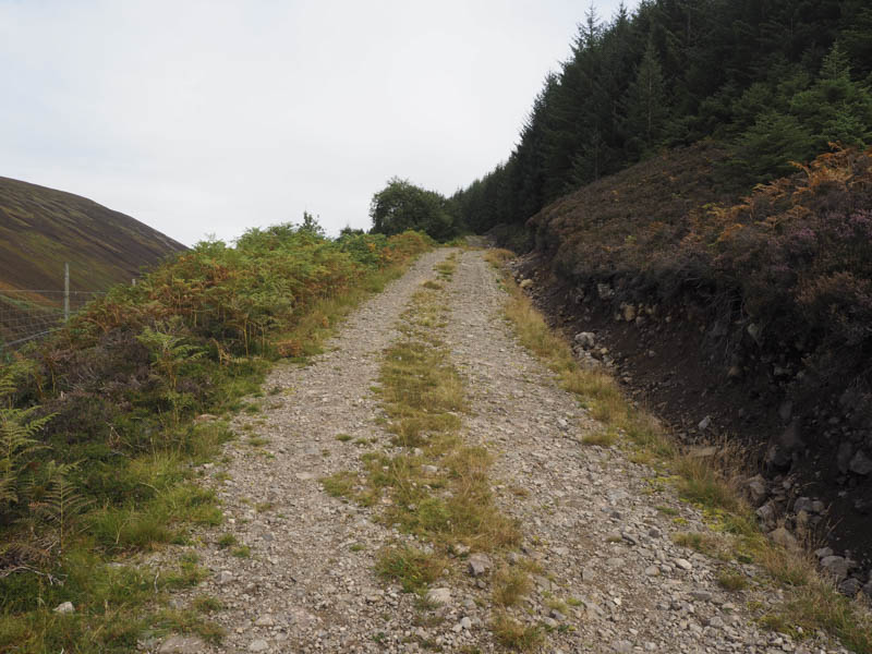
Higher up a zigzag path headed south-east then north-east to emerge from the trees.
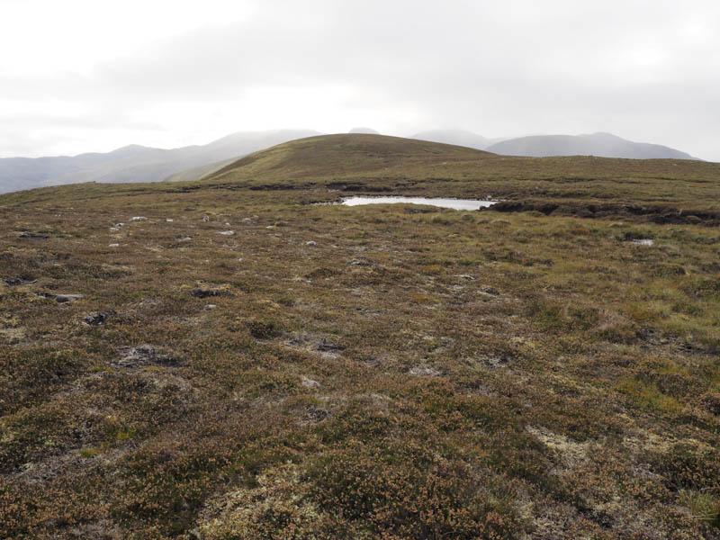
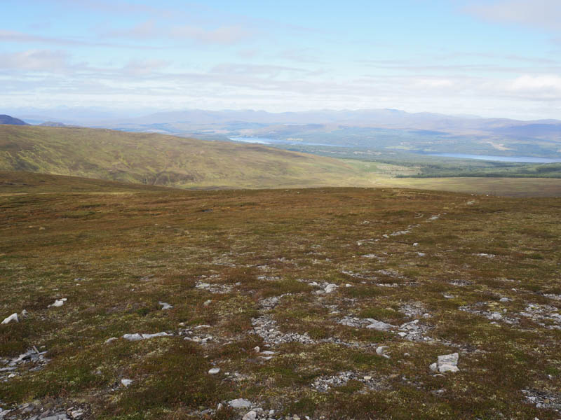
An ATV track ran along the edge of the forest and at its north-east corner I left it and crossed some rough and in places boggy vegetation. I later came across another ATV track that led to the col north of Creag Ard.
From there I climbed this Graham Top before returning to the col and walking north-east, where there was a line of old metal fence posts, onto the summit of Beinn Dearg.
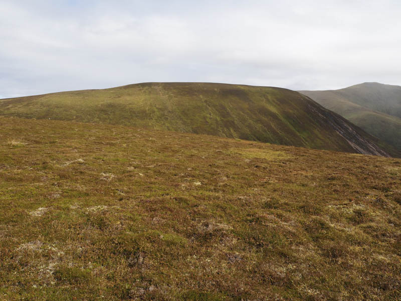
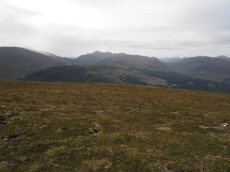
There were a couple of cairns but apparently the highest point of this Corbett was close to the southerly one.
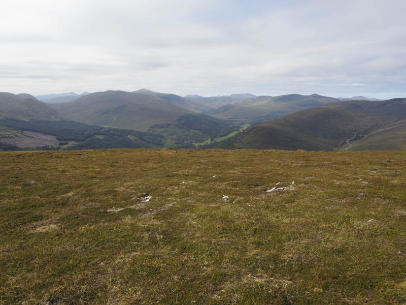
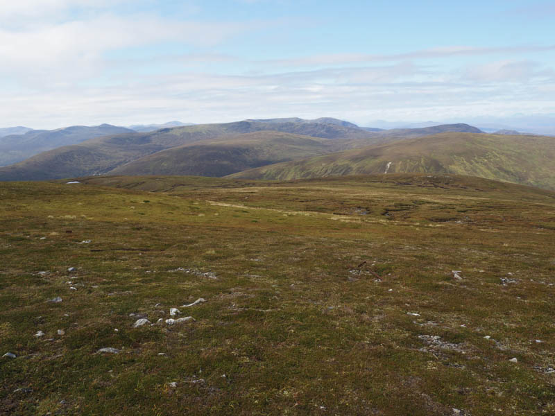
The descent followed the metal fence posts towards Meall Glas but I later left them and headed across rough vegetation to the edge of the forest where I retraced the outward route back to the start.
- Time taken 3.5 hours.
- Distance – 12.25 kilometres.
- Height climbed – 675 metres.