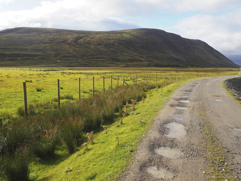
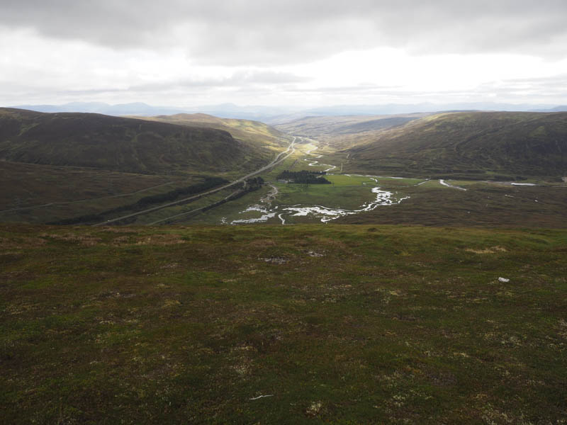
I left my car on an area of waste ground on the north-east side of the level crossing at Dalnaspidal, just off the A9 south of the Drumochter Pass, crossed the railway line, and followed the vehicle track that by-passed Dalnaspidal Lodge to the north. This led to the bridge over the Allt Dubhaig which was under repair.
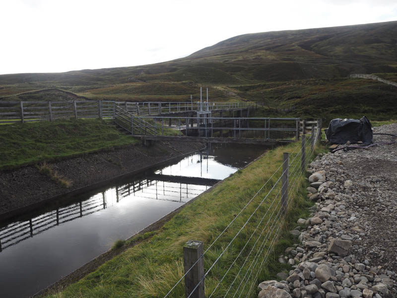
A new rough boulder track ran along a short section of aqueduct and to the footbridge over it and to the dam which was used to cross the River Garry.
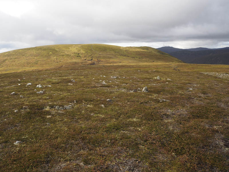
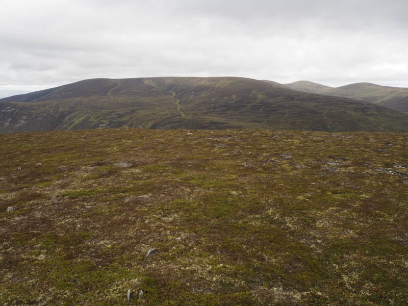
Beyond, a mainly wet and peaty ATV track headed uphill and onto the north-east ridge of Sron na h-Eiteich.
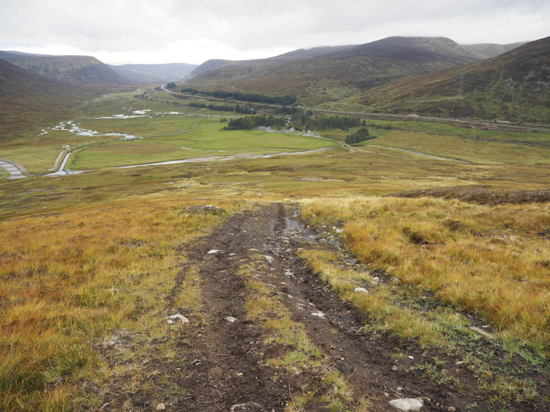
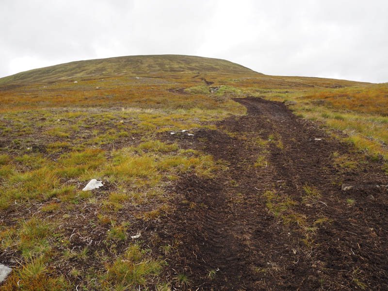
The condition of the track improved as it gradually rose to the summit of this Sub Simm where a cairn slightly to the north of the track marked its highest point.
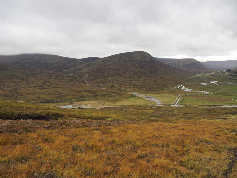
The track descended on a gentle gradient to the col with Meall na Leitreach then it was a fairly easy climb onto this Corbett latter leaving the vehicle track and following a walker’s path to the summit cairn.
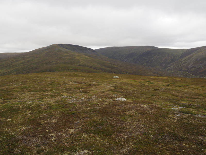
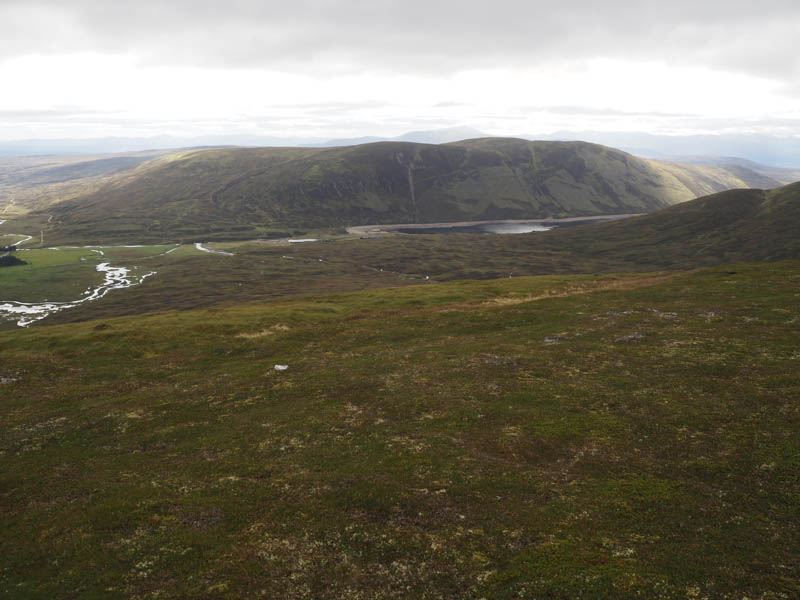
After a break here I returned to the aqueduct then walked along the vehicle track on the north side of the Allt Coire Luidhearnaidh crossing the vehicle track to Loch Garry. I came to another wet and peaty ATV track that I had spotted earlier and walked up it passed shooting butts.
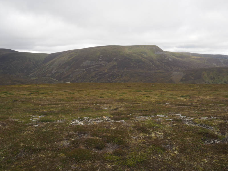
High up the track came to an end so I climbed through some heather, initially quite long, then it was an easy walk to the summit of the Corbett, The Sow of Atholl, marked by a cairn.

After another break sheltering from a cold breeze and watching the traffic on the busy A9 below I returned to the Loch Garry track by the upward route and followed it back to the start.
- Time taken – 4.5 hours.
- Distance – 14.75 kilometres.
- Height climbed – 825 metres.